How to read Shipman's field notes
2004-09-01: NM: New Mexico Tech: Turtle Bay
@TBay: New Mexico Tech: Turtle Bay
2004-09-02: NM: Socorro-Roswell-Artesia
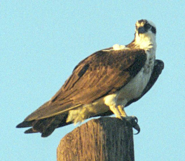
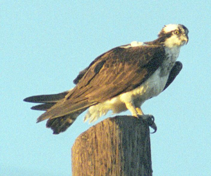
Notable: Osprey
@Art: Art: fields S
@NM: New Mexico generally
@Sal: Lincoln: Salazar Canyon/Baca Campground
3.5 mi W of Lincoln; 333134n 1052624w.
@day: Socorro-Roswell-Artesia
Route
Left Socorro 1415, Roswell, Artesia, Carlsbad. Straight
through except for two brief stops. Light failed south
of Artesia about 1900.
Film
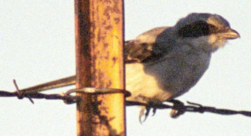
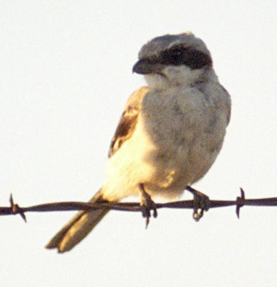
First shots of the day are the Loggerhead Shrike.
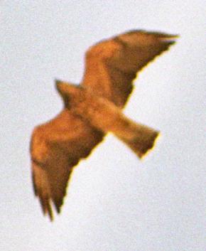
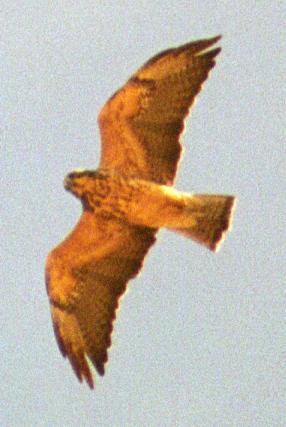
Hawk, Swainson's 1 @Art: fields S
Kestrel, American @Art: fields S
Killdeer 1 @Art: fields S
Dove, Mourning @New Mexico generally
hummingbird sp. @Lincoln: Salazar Canyon/Baca Campground
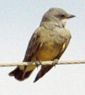
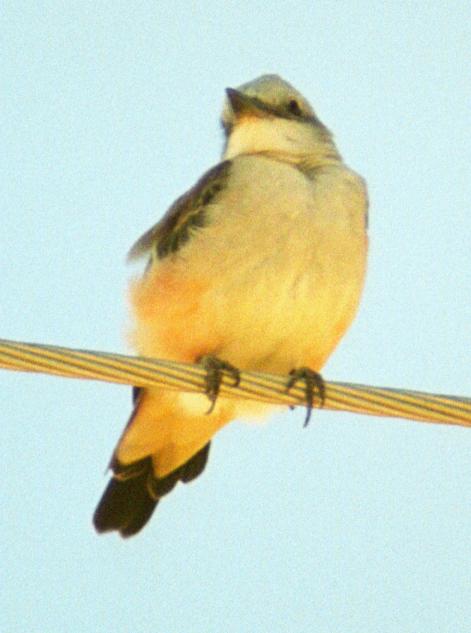
Kingbird, Western 1 @Art: fields S
Scrub-Jay, Western # @Lincoln: Salazar Canyon/Baca Campground
raven sp. # @New Mexico generally
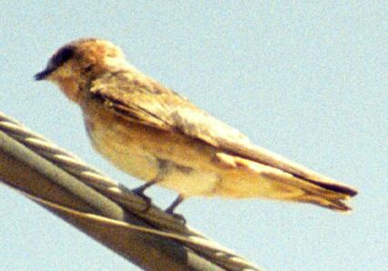
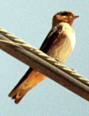
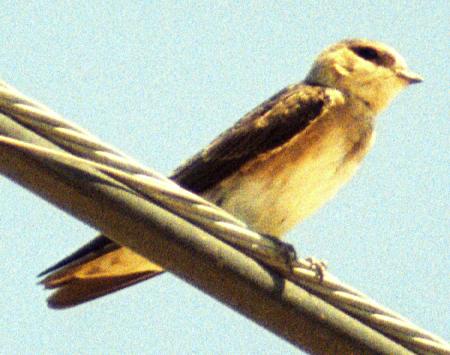
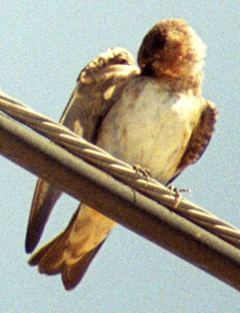
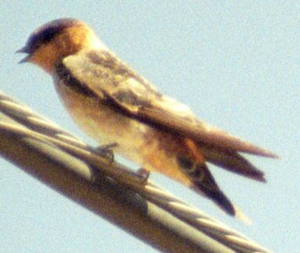
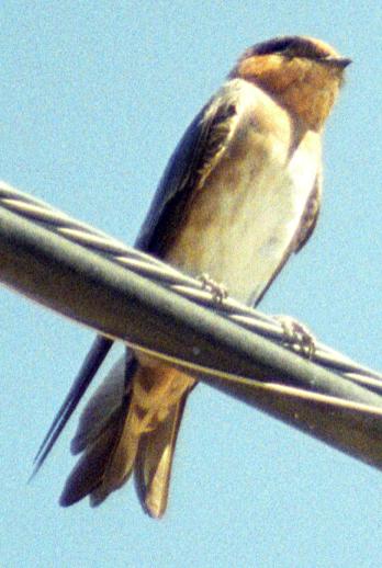
Swallow, Barn @New Mexico generally
Sparrow, Lark # @Art: fields S
meadowlark sp. 1 @Art: fields S
2004-09-03: NM: Rattlesnake Springs-Bitter Lake
Notable: Cave Swallow; Orchard Oriole
@BL: Bitter Lake NWR
@CP: Brantley Lake: Cheapskate Point
@NM: Rattlesnake Springs, Bitter Lake NWR
@RS: Rattlesnake Springs
Turnoff from US 62-180 is just E of mile marker 10.
@day: Rattlesnake Springs-Bitter Lake
Route
0600: Arrived at Rattlesnake Springs well before dawn (my
daybreak estimate neglected DST). Fog lowering until
0830; first sun 0930; completely clear by 1000. Left
1130. Quick look at Brantley around 1345. 1600: arrived
Bitter Lake, drove the loop and also walked about 0.5
mile down the Oxbow Trail. Left 1745.
Film
First frame ~28, Bell's Vireo microdot, VC-400-36
2004-08-21-1550 : 2004-09-03-0945. Started VC-400-36
2004-09-03-0945 : 2004-09-09-1900. At Bitter Lake, 2nd
roll frame ~28 is a Chipping Sparrow on a twig; first at
f/11, then at f/5.6. On the latter roll, look around
frame 11 for a Warbling Vireo.
Wigeon, American 10+ @Bitter Lake NWR
Shoveler, Northern 6+ @Bitter Lake NWR
Pintail, Northern 2+ @Bitter Lake NWR
Pelican, American White 40+ @Bitter Lake NWR
Egret, Great 3 @Bitter Lake NWR
Egret, Snowy 20+ @Bitter Lake NWR
Ibis, White-faced 2 @Bitter Lake NWR
Vulture, Turkey @Rattlesnake Springs, Bitter Lake NWR
Harrier, Northern 1ϕ @Bitter Lake NWR
Kestrel, American @Rattlesnake Springs, Bitter Lake NWR
Killdeer # @Bitter Lake NWR
Stilt, Black-necked 100+ @Bitter Lake NWR
Avocet, American 60+ @Bitter Lake NWR
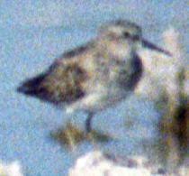
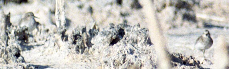
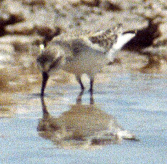
peep sp. 120+ @Bitter Lake NWR
Yellowlegs, Lesser 3+ @Bitter Lake NWR
Dowitcher, Long-billed 12+ @Bitter Lake NWR
Dove, White-winged 60+ @Rattlesnake Springs
Dove, Mourning 15+ @Rattlesnake Springs
hummingbird sp. 1♀ @Rattlesnake Springs
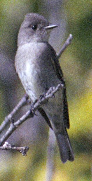
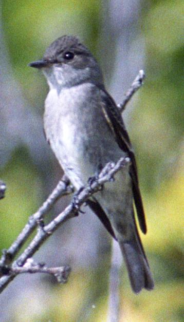
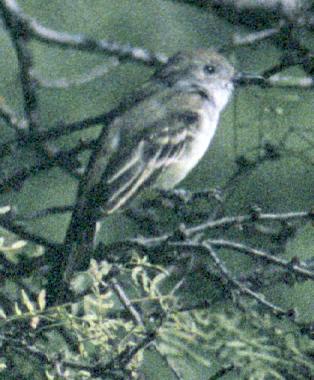
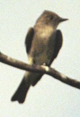
Empidonax sp. @Rattlesnake Springs
Phoebe, Black 3 @Rattlesnake Springs
Phoebe, Say's 1 @Rattlesnake Springs
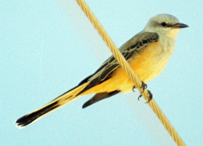
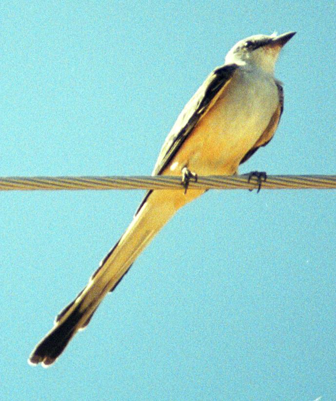
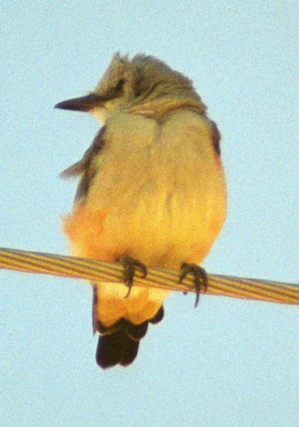
Kingbird, Cassin's # @Rattlesnake Springs
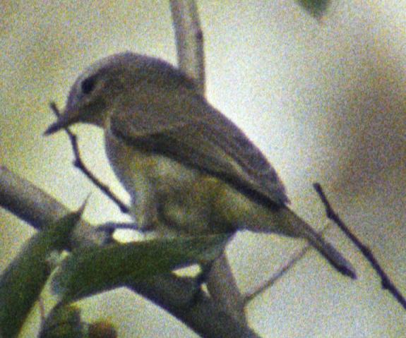
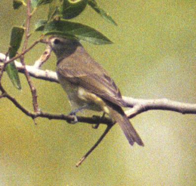
Vireo, Warbling 2 @Rattlesnake Springs
raven sp. @Rattlesnake Springs-Bitter Lake
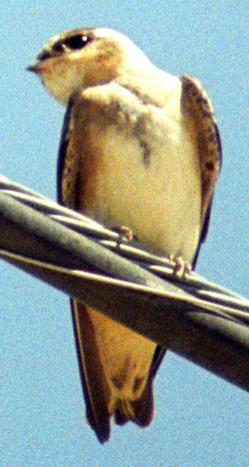
Swallow, Barn @Rattlesnake Springs
Robin, American 1 @Rattlesnake Springs
Waxwing, Cedar 1 @Rattlesnake Springs
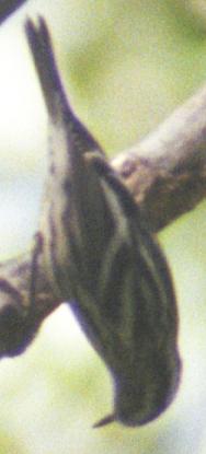
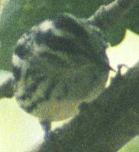
Warbler, MacGillivray's 2 @Rattlesnake Springs
Warbler, Wilson's 2 @Rattlesnake Springs
Tanager, Western 2♀ @Rattlesnake Springs
meadowlark sp. @Bitter Lake NWR
Oriole, Orchard 1♀ @Rattlesnake Springs
Finch, House 4 @Rattlesnake Springs
Goldfinch, Lesser @Rattlesnake Springs
2004-09-04: NM: Portales-Melrose Trap-Tatum
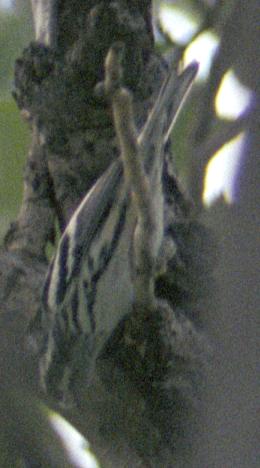
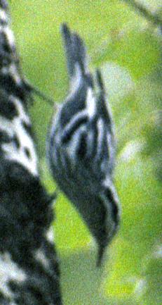
Notable: Red-breasted Nuthatch; Black-and-white Warbler
@MT: Melrose Trap
@PH: Clovis-Tatum route: nameless pothole
GPS: 335344n 1032010w None
@day: Portales-Melrose Trap-Tatum
Route
Stayed in Portales. Birded Melrose Trap 1110-1150, left
due to windy conditions. Returned 1515-1630, incipient
rain. Tried to find the Tatum sewage ponds to chase the
rumored Yellow-crowned Night Heron, couldn't find them by
the time it got too dark.
Film
Started a new roll of VC 400, not finished: 2004-09-03
1900 (no shots) : 2004-09-05 1030.
Drove into Melrose Trap to find five truckloads of dove
hunters staring dourly at me. I can't imagine why I
didn't blend right in, being a good old boy from
southeast NM from way back. Maybe it was the giant
camera rig, the binoculars, or the shorts and sandals.
They were blasting away with shotguns right next to the
trucks, probably to see if they could make me jump (they
didn't).
Vulture, Turkey @Portales-Melrose Trap-Tatum
Killdeer 3 @Clovis-Tatum route: nameless pothole
Avocet, American 16 @Clovis-Tatum route: nameless pothole
Yellowlegs, Greater 2 @Clovis-Tatum route: nameless pothole
Wood-Pewee, Western # @Melrose Trap
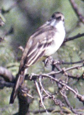
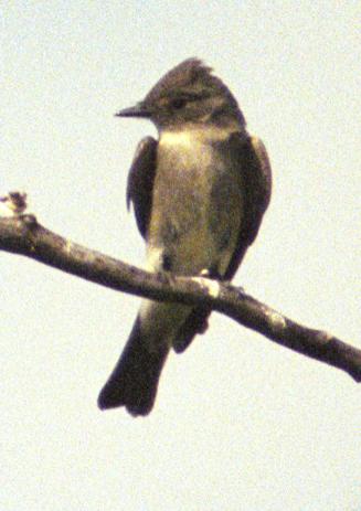
Empidonax sp. 1 @Melrose Trap
Warbler, Wilson's 6+ @Melrose Trap
Tanager, Western 10+♂ @Melrose Trap
Oriole, Bullock's 2♀ @Melrose Trap
Finch, House 4+ @Melrose Trap
2004-09-05: NM: Hobbs-Eunice-Allred Tank-Rattlesnake
Notable: Olive-sided Flycatcher
@BL: Lea Co.: Allred Tank
I've been calling this place Bell Lake for decades, but
apparently the real Bell Lake is further west. According
to Jerry Oldenettel, Allred Tank is the right name.
Territorial bovids prevented a full survey of the lake.
Figure hiking to the lake from the road takes at least 35
minutes and covers over a mile.
GPS: 321843n 1033040w
Turnoff from Lea Co. 12 to the tank.
@EuC: Eunice: Cemetery
The Eunice Cemetery Association maintains this
beautifully kept-up jewel of a cemetery, just south of town.
GPS: 322418n 1030934w
Cemetery entrance from NM-207.
@Hob: Hobbs City Park
At Jefferson x Scharbauer; the latter street is locally
pronounced `SCAR-buh-roe' (I grew up in this town).
@LG: Laguna Grande
There are three places where the road cuts across the
lake. Only the easternmost had birdlife.
GPS: 322009n 1035502w
Eastern edge, close to milepost 5 on NM-128.
@Le12: Lea Co. Road 12
Starting from south of Eunice, jogging south and west to
go by Allred Tank and connect with NM 128.
@RS: Rattlesnake Springs
Tired from my hike, I mainly sat around near the tank.
@day: Hobbs-Eunice-Allred Tank-Rattlesnake
Route
Day starts in Hobbs. Brief drive around City Park.
Drive from Hobbs to Eunice; west along Co. Rd. #12;
birded Allred Tank about 1050-1250. To NM
128, the Jal-Loving Highway; west to US 285, south to
Malaga, west on Black River Village (Eddy Co. Rd. #720)
to US 62-180; short visit to Rattlesnake Springs about
1500-1605; return to Socorro late.
Film
VC-400-36, 2004-09-03-1900 : 2004-09-05-1030.
Fuji-100-36, 2004-09-05-1030 : 2004-09-05-1135.
Fuji-100-36, 2004-09-06-1135 : 2004-09-05-1340.
VC-400-36, 2004-09-05-1340 started.
Duck, Ruddy 1♀ @Lea Co.: Allred Tank
Dove, White-winged 1-2 @Hobbs City Park
Roadrunner, Greater 1 @Eunice: Cemetery
Flycatcher, Olive-sided 1 @Rattlesnake Springs
Phoebe, Black 1 @Rattlesnake Springs
Kingbird, Western @Rattlesnake Springs
Shrike, Loggerhead 2 @Lea Co. Road 12
Mockingbird, Northern # @Lea Co.: Allred Tank
Starling, European @Lea Co.: Allred Tank
Sparrow, Chipping 1 @Lea Co.: Allred Tank
Sparrow, Brewer's 1 @Lea Co.: Allred Tank
Tanager, Summer @Rattlesnake Springs
Finch, House # @Rattlesnake Springs
2004-09-06: NM: Socorro: 507 Fitch
@home: Socorro: 507 Fitch
2004-09-12: NM: Magdalenas: Langmuir Lab Road
Notable: Band-tailed Pigeon
@DZ: Double Zero
Another major switchback, to the right.
GPS: 335926n 1070912w None
@LP: Lone Pine
A major switchback to the left.
GPS: 335946n 1070911w None
@Lang: Magdalenas: Langmuir Lab Road
@PZ: Point Zero
Where construction of the Langmuir road began by
branching from an existing mine road.
GPS: 335935n 1070839w None
Third segment of the Langmuir Road (last two segments
hiked last fall). Drive to 8000'; at 1245 hike to
"Double Zero", the large switchback just below 9000',
turn around at 1530, and hike back down, returning to the
car at 1815.
Since last fall, two new series of signs have been
installed. Green mile markers, apparently measured from
US60, start above Water Canyon Campground at 5.00 and
thereafter every 0.25 miles. A series of blue signs,
numbered 1, 2, 3, ..., apparently numbers the culverts.
Both signs are useful for giving locations on the road,
and I'm developing a complete series of GPS waypoints for
both. Locations such as "Blue 44" in the notes refer to
the blue signs.
Butterfly around 8300' is probably a Queen (_Danaus
gilippus_), based on e-mail from a local butterfly
expert.
Jay, Steller's # @Magdalenas: Langmuir Lab Road
Raven, Common 2 @Lone Pine
Chickadee, Mountain # @Magdalenas: Langmuir Lab Road
Nuthatch, Red-breasted 3 @Magdalenas: Langmuir Lab Road
Nuthatch, White-breasted # @Magdalenas: Langmuir Lab Road
Warbler, Wilson's 1 @Point Zero
Junco, Gray-headed 1 @Magdalenas: Langmuir Lab Road
2004-09-12: NM: Socorro: 507 Fitch
@home: Socorro: 507 Fitch
2004-09-13: NM: Socorro: 507 Fitch
@home: Socorro: 507 Fitch
2004-09-18: NM: New Mexico Tech
2004-09-22: NM: Socorro
@MSEC: New Mexico Tech: MSEC building
@day: Socorro
@home: Socorro: 507 Fitch
Dove, Inca @Socorro: 507 Fitch
Mockingbird, Northern @Socorro: 507 Fitch
Phainopepla @New Mexico Tech: MSEC building
2004-09-23: NM: New Mexico Tech
2004-09-25: NM: Socorro: 507 Fitch
@home: Socorro: 507 Fitch
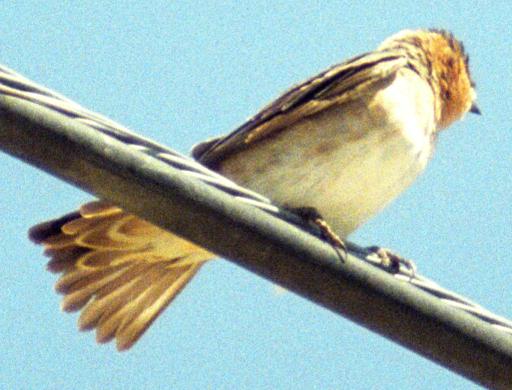
Swallow, Barn @Socorro: 507 Fitch
2004-09-28: NM: Socorro: 507 Fitch
@home: Socorro: 507 Fitch
2004-09-29: NM: Socorro
@RR: Socorro: railroad station
@Soc: Socorro
@home: Socorro: 507 Fitch
Collared-Dove, Eurasian 24 @Socorro: railroad station
2004-09-30: NM: New Mexico Tech
Vulture, Turkey # @New Mexico Tech