How to read Shipman's field notes
2016-08-03: NM: Socorro to Carlsbad
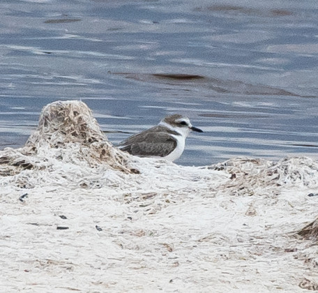
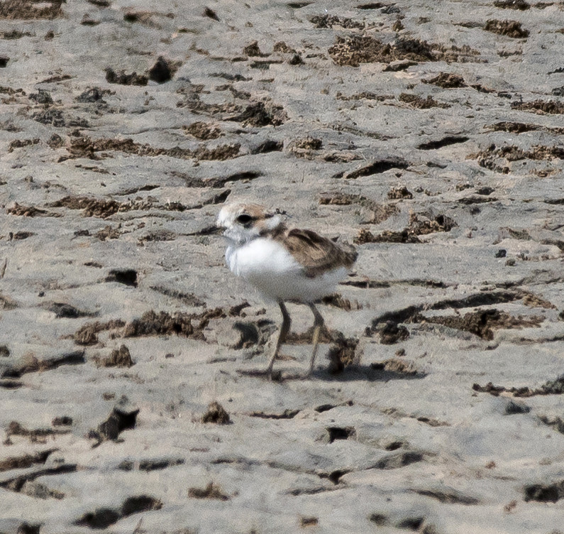
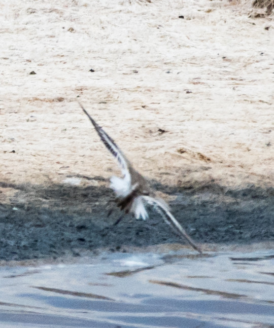
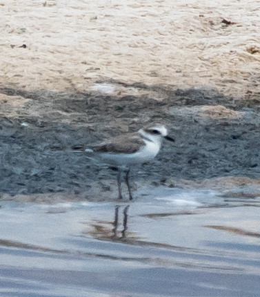
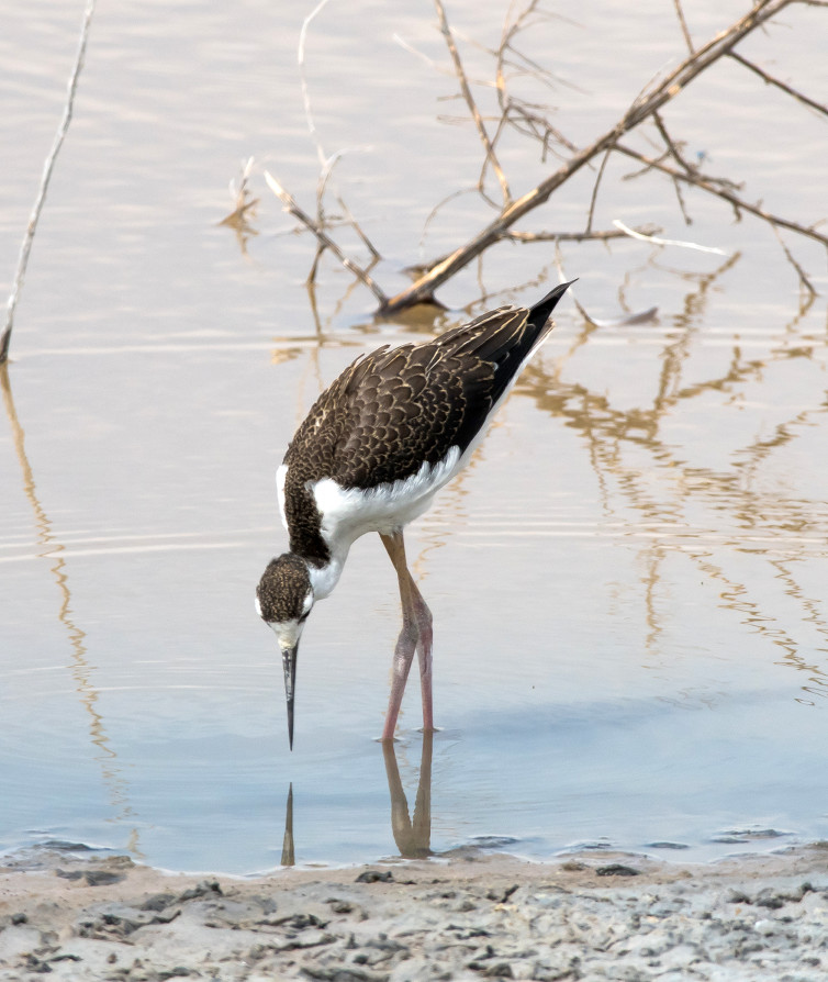
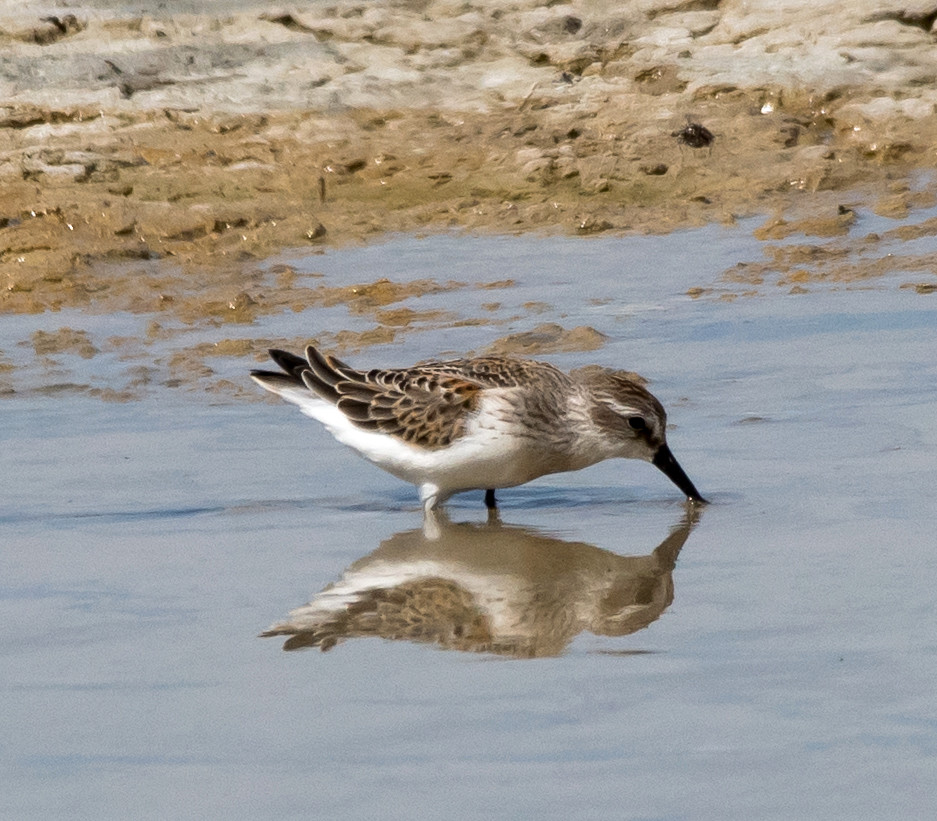
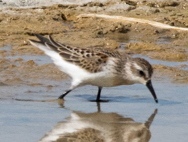
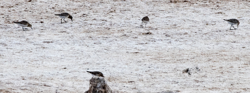
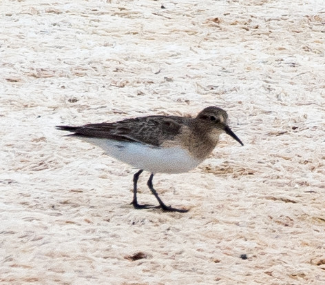
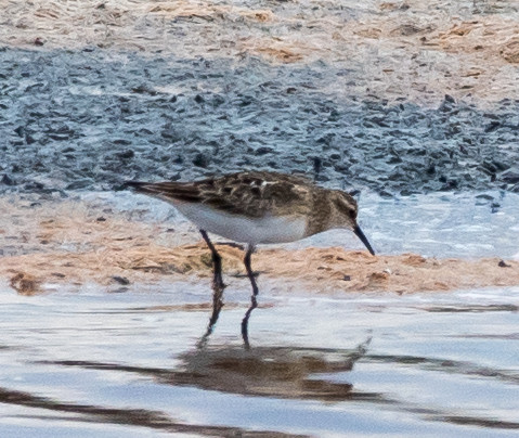
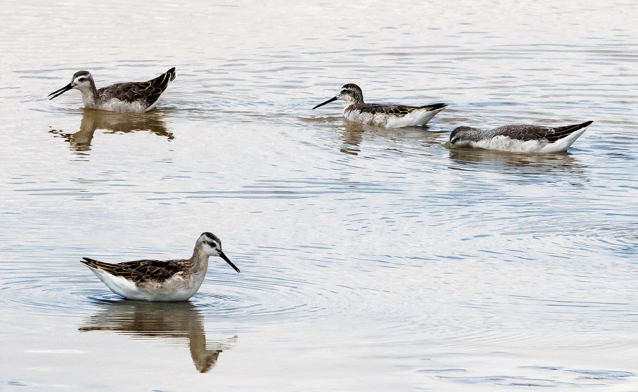
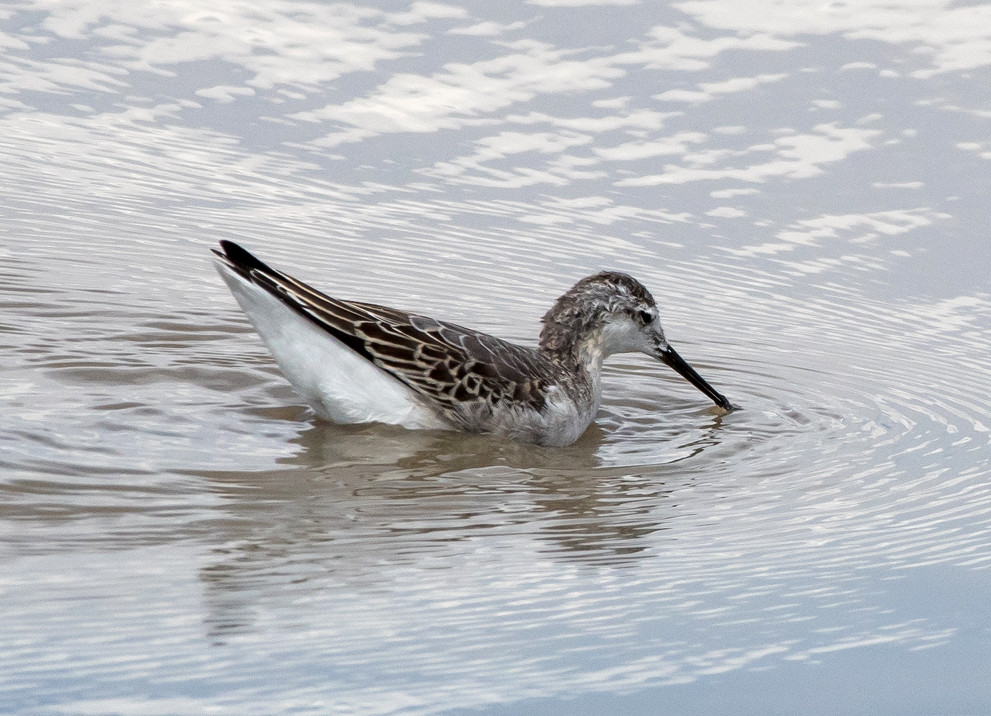
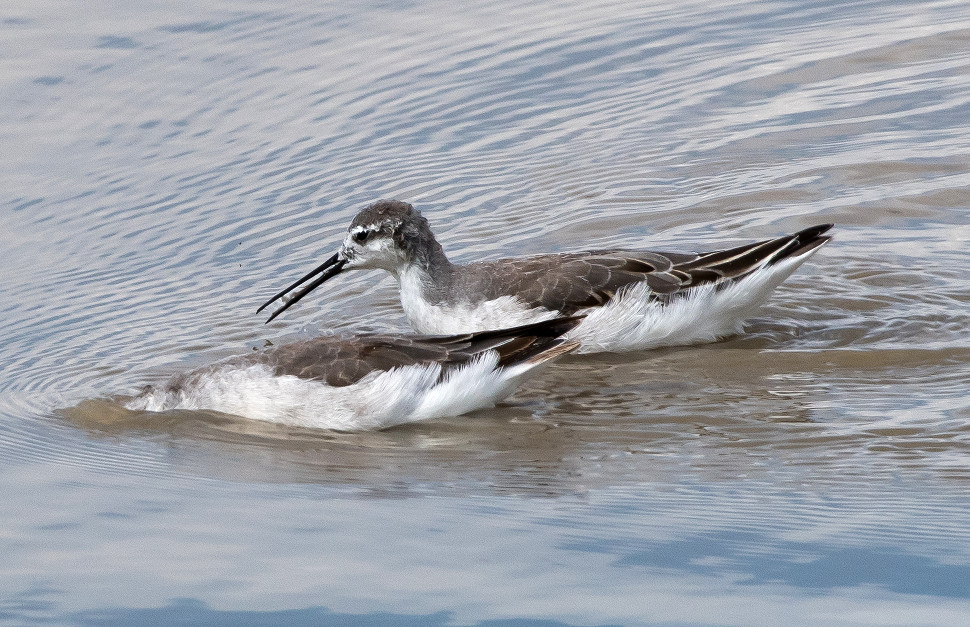
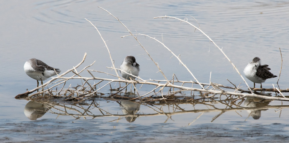
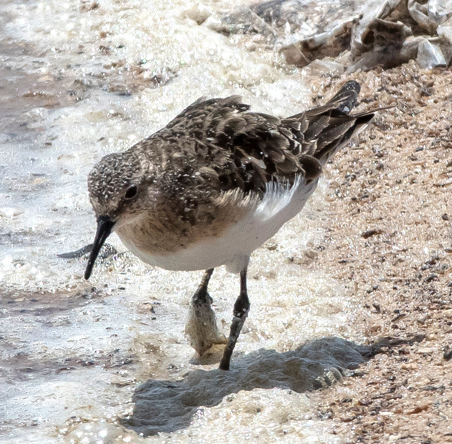
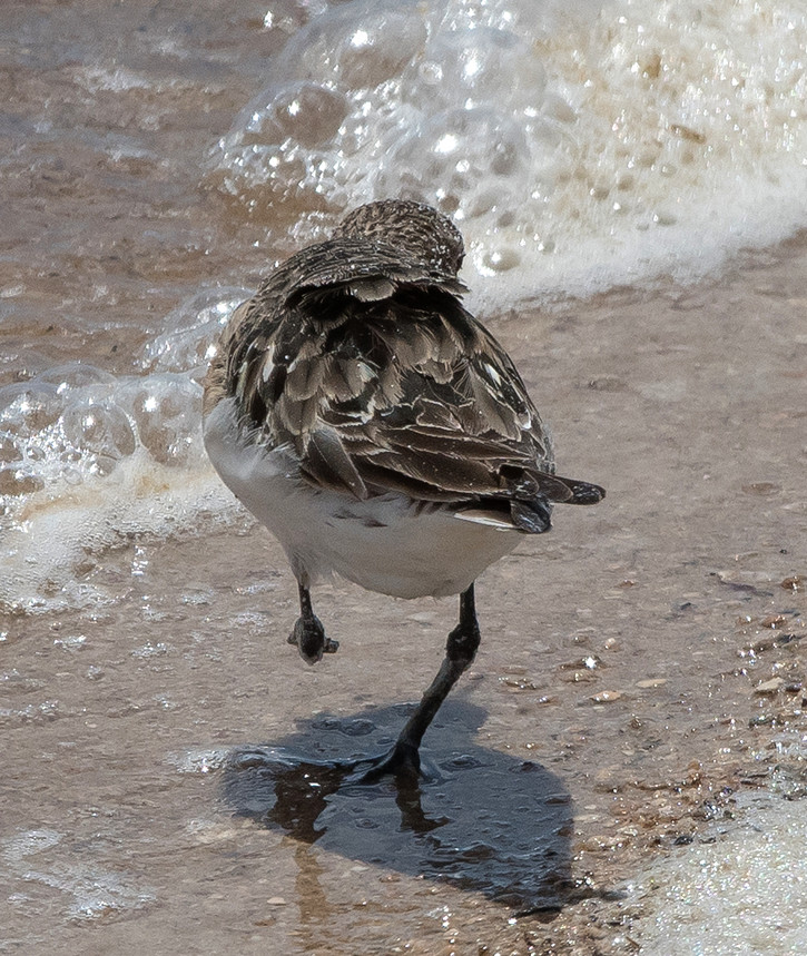
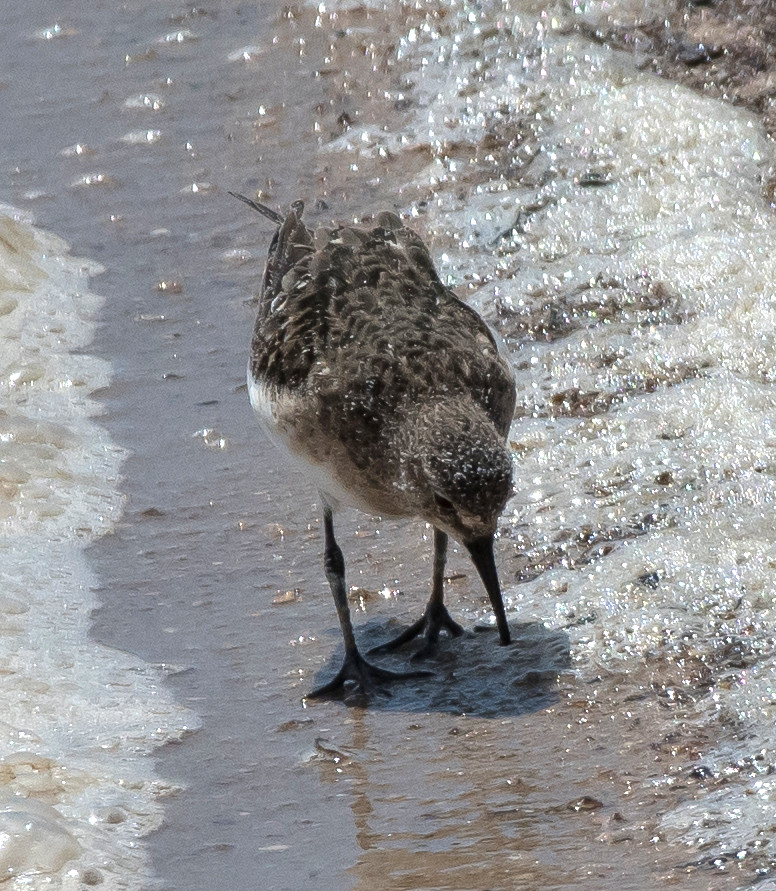
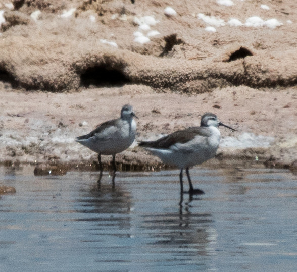
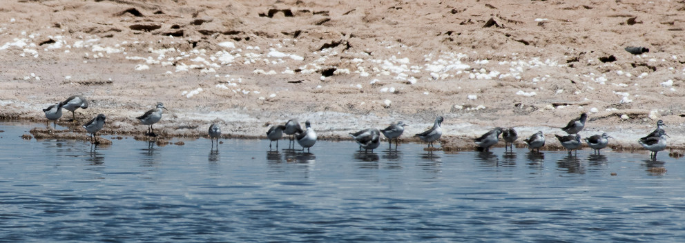
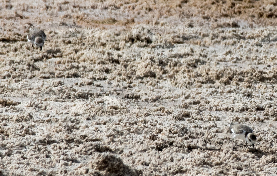
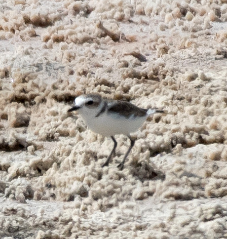
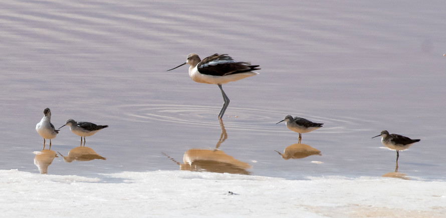
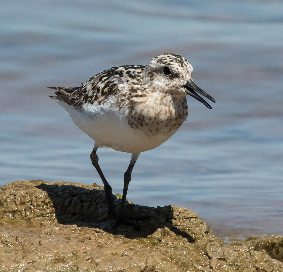
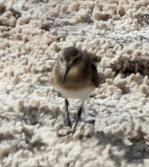
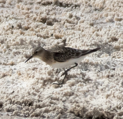
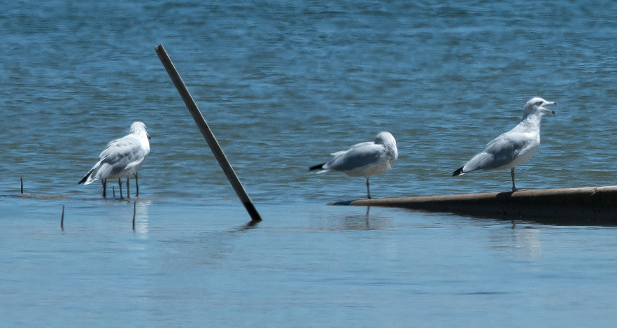
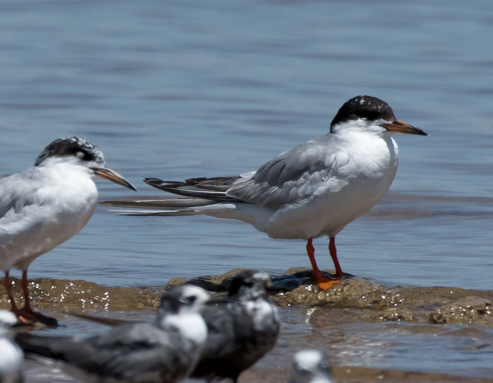
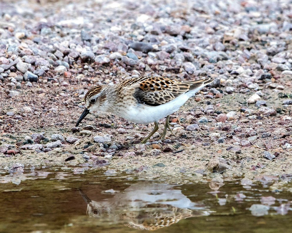
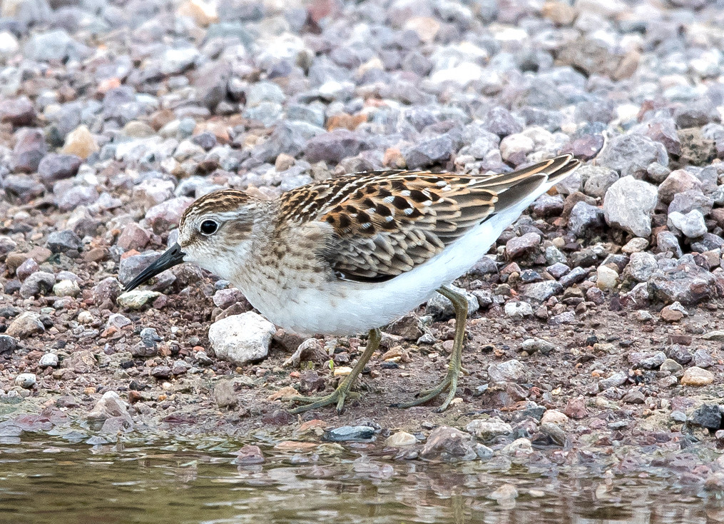
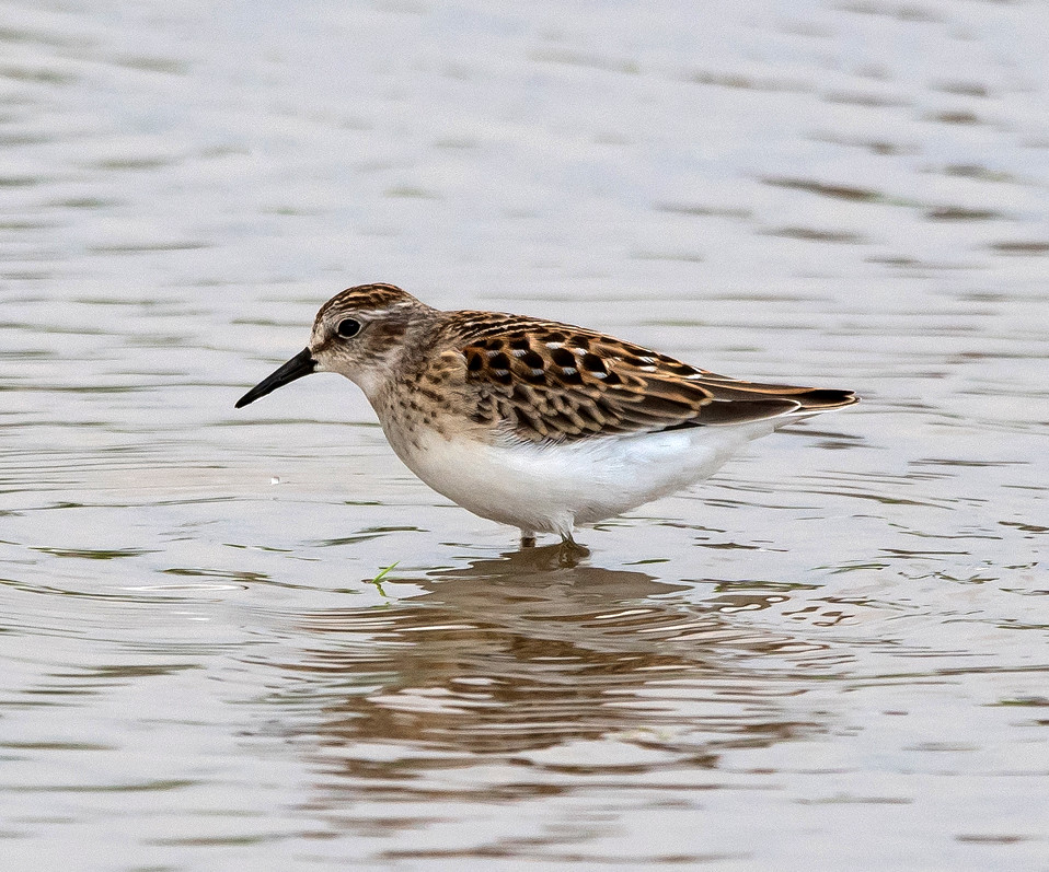
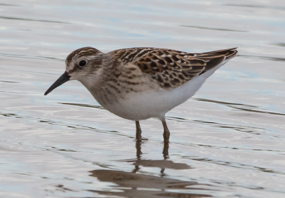
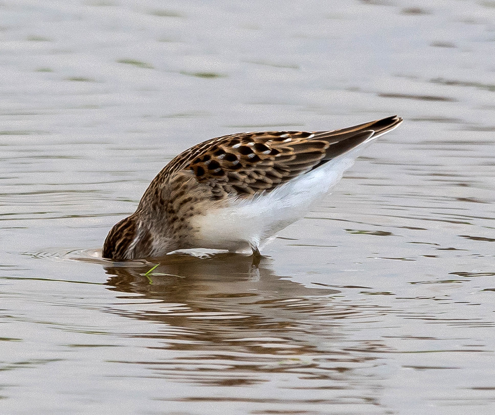
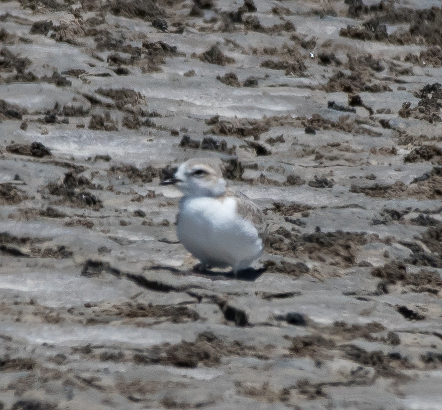
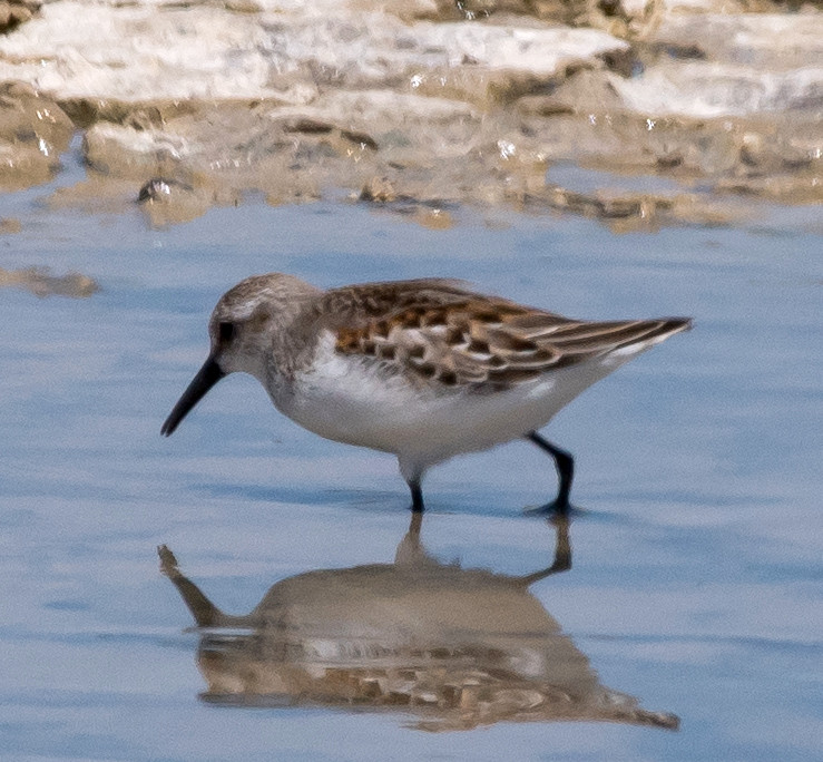
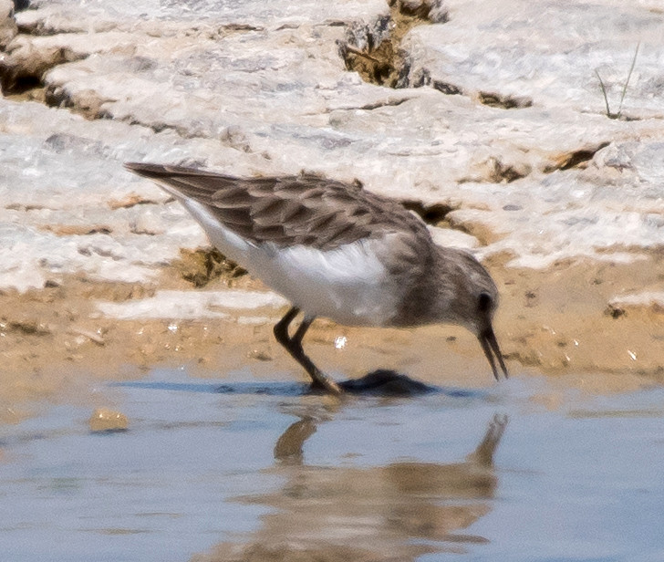
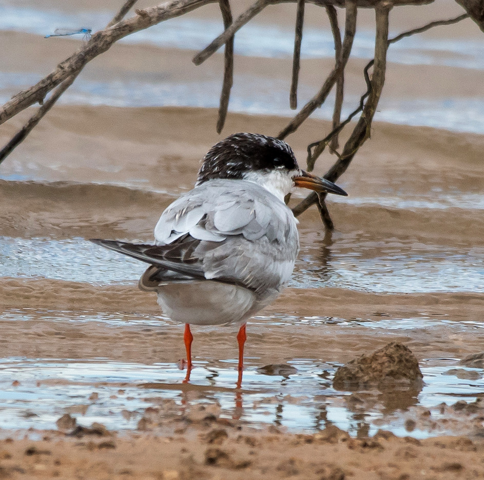
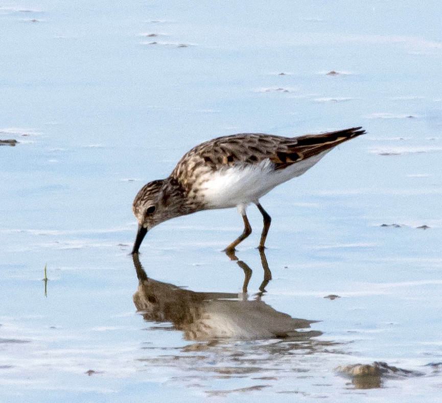
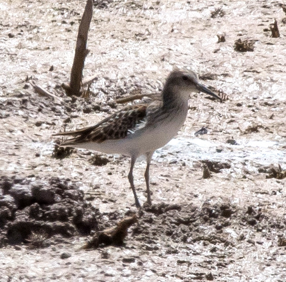
Notable: Snowy Plover; Baird's Sandpiper
@ArtAg: Artesia ag areas, Atoka Road to Four Dinkus Road
@BLNWR: Bitter Lake NWR
@Baca: Lincoln Co.: Baca Campsite
@Cheap: Brantley Lake: Champion Cove Road
@Ros: Roswell area
@day: Socorro to Carlsbad
@road01: Socorro Co.: US-380^E to Lincoln Co. line
@road02: US-380^E, Lincoln Co.: Socorro Co. line to Carrizozo
@road03: US-380^E, Lincoln Co.: Carrizozo to Capitan
@road04: US-380^E, Lincoln Co.: Lincoln to Tinnie
@road05: US-380^E, Lincoln Co.: Tinnie to Riverside
@road06: US-380^E, Lincoln Co.: Riverside to Chaves Co. line
@road07: US-380^E, Chaves Co.: Lincoln Co. line to Roswell
@road08: Roswell to Artesia
Route
1210, leave Socorro.
1225, US-380^E.
1315, Lincoln Co.
1325, Carrizozo.
1340, Capitan. Sadly, raining too hard to see
anything at the Helen Hinks reserve.
1410-1415, quick look at the Baca Campsite.
1420, Lincoln.
1435, Tinnie.
1450, Riverside.
1500, Chaves Co.
1515, Roswell.
1530, Bitter Lake NWR.
1635, head south.
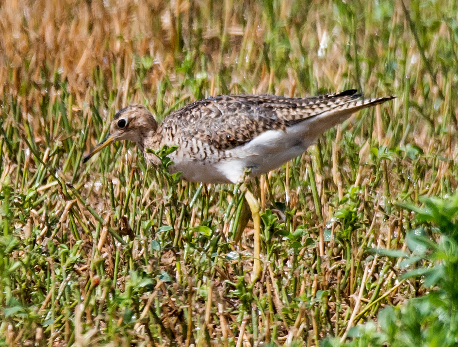
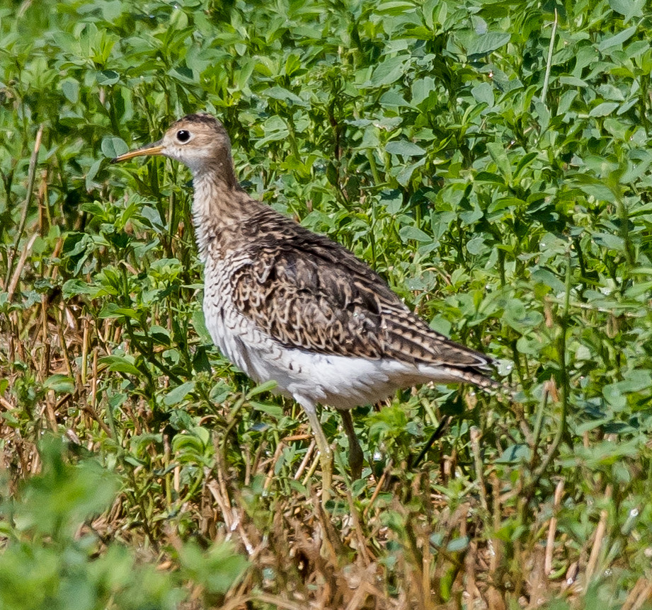
1740-1830, worked the ag districts east of US-285
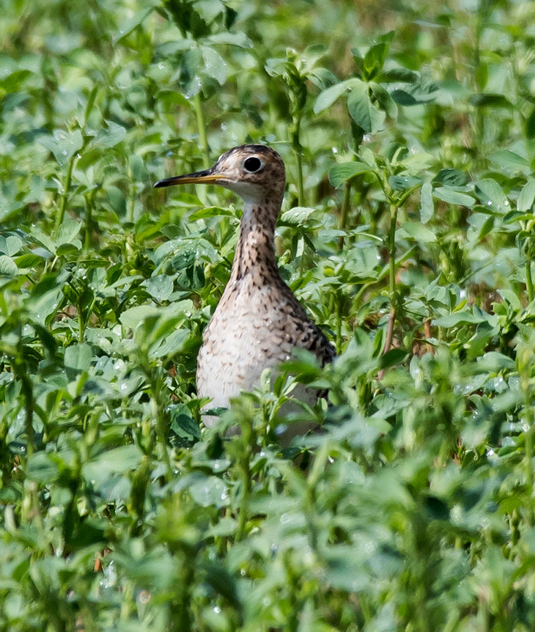
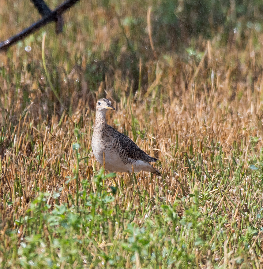
between Atoka and Four Dinkus roads, hoping for Upland
Sandpipers, but failing.
1840, Brantley: Champion Cove Road.
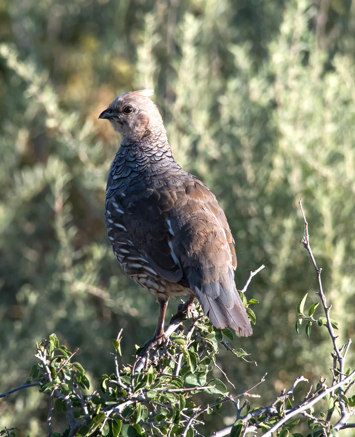
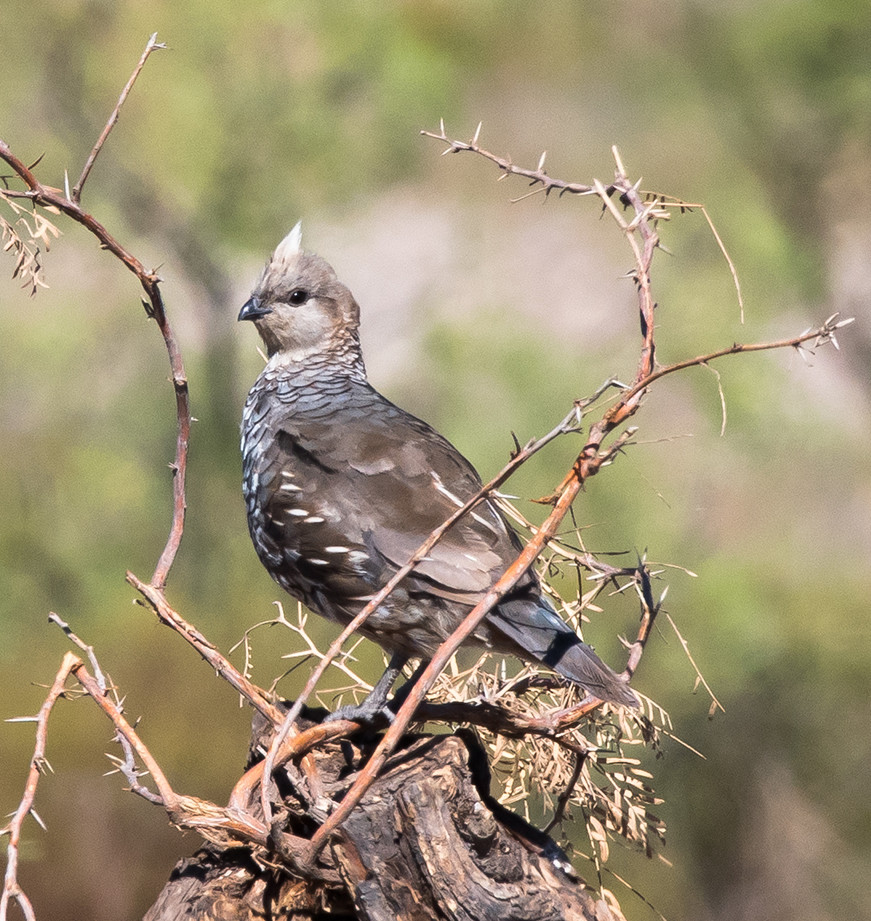
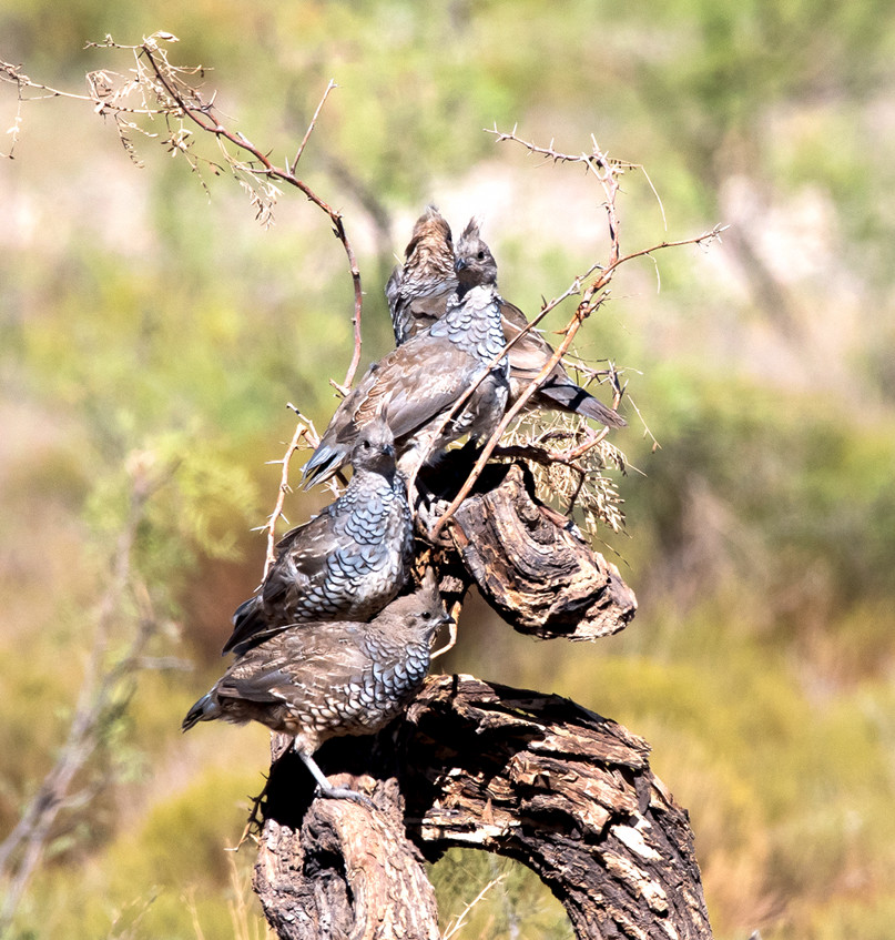
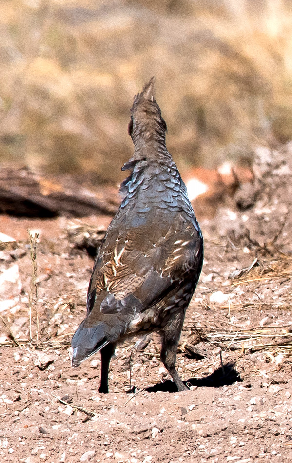
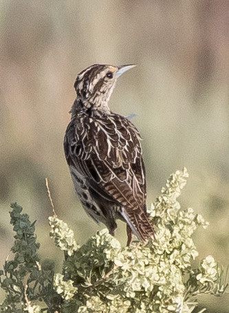
Quail, Scaled # @Artesia ag areas, Atoka Road to Four Dinkus Road
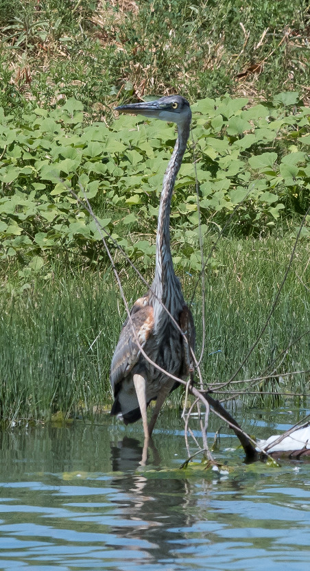
Heron, Great Blue # @Bitter Lake NWR
Egret, Snowy # @Bitter Lake NWR
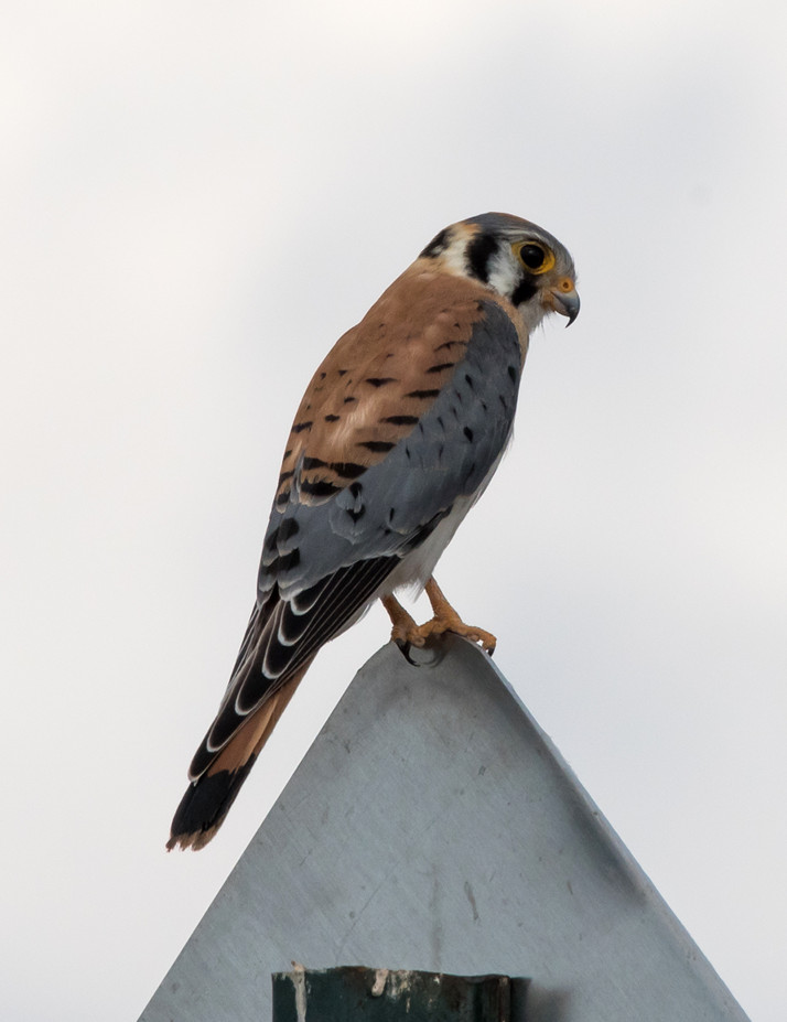
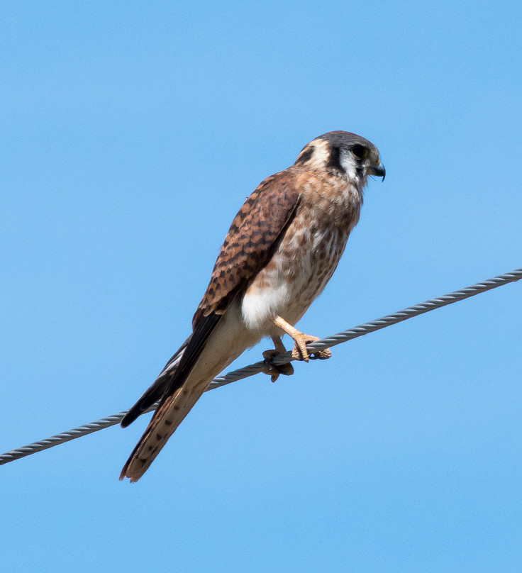
Kestrel, American 2u @Artesia ag areas, Atoka Road to Four Dinkus Road
Coot, American # @Bitter Lake NWR
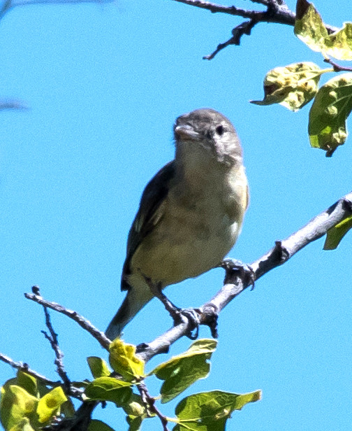
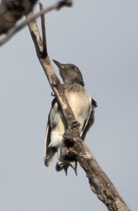
Woodpecker, Ladder-backed 1♀ @Roswell area
Robin, American # @Artesia ag areas, Atoka Road to Four Dinkus Road
Mockingbird, Northern 1 @Roswell area
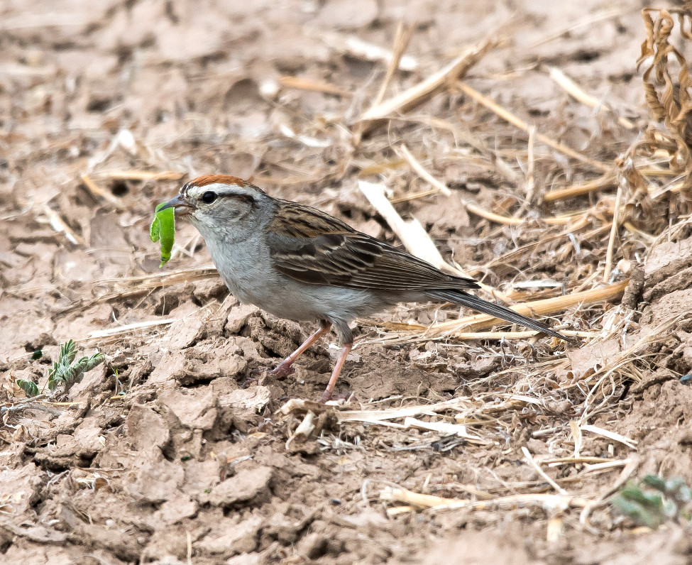
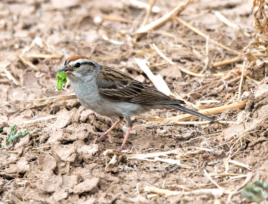
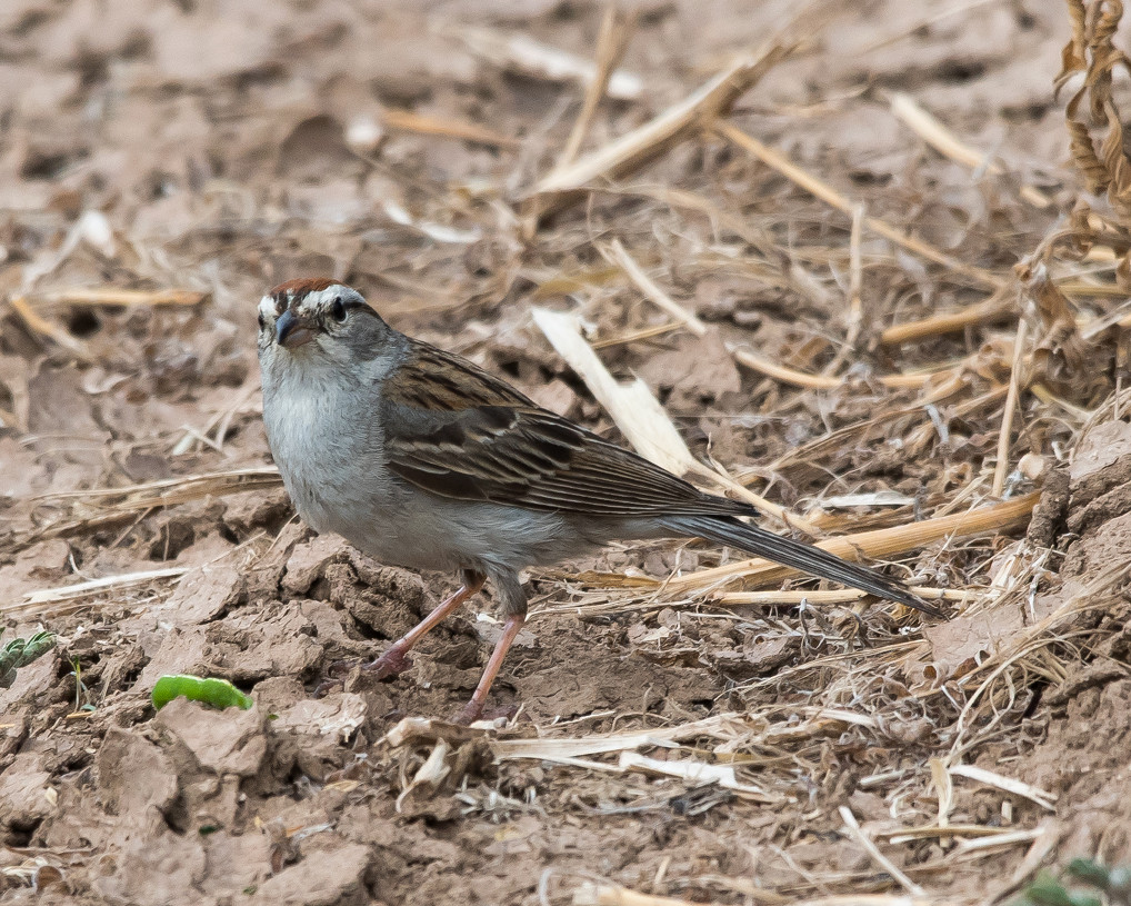
Sparrow, Chipping # @Lincoln Co.: Baca Campsite
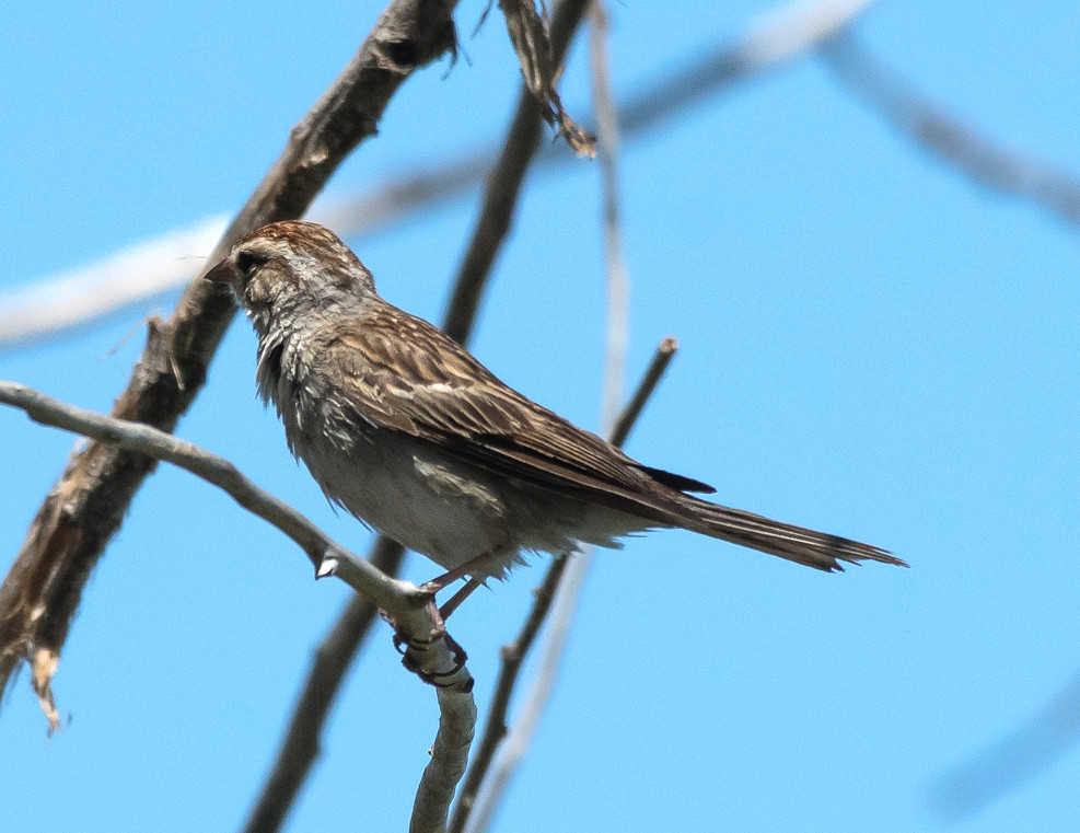
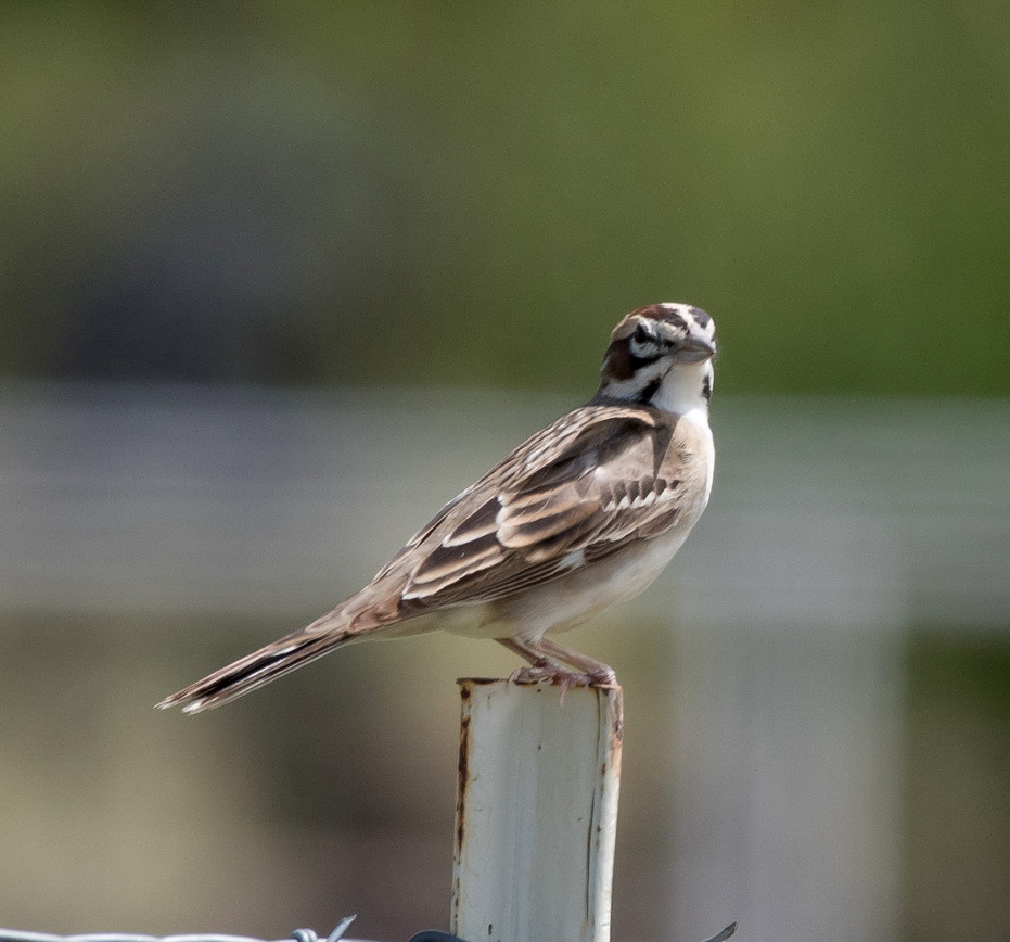
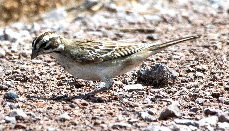
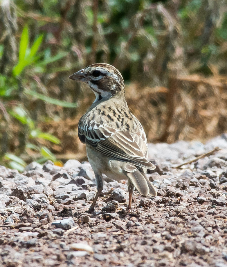
Sparrow, Lark # @US-380^E, Lincoln Co.: Lincoln to Tinnie
2016-08-04: NM: Rattlesnake Springs to Hobbs
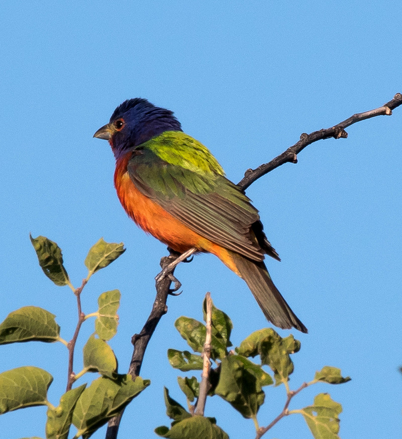
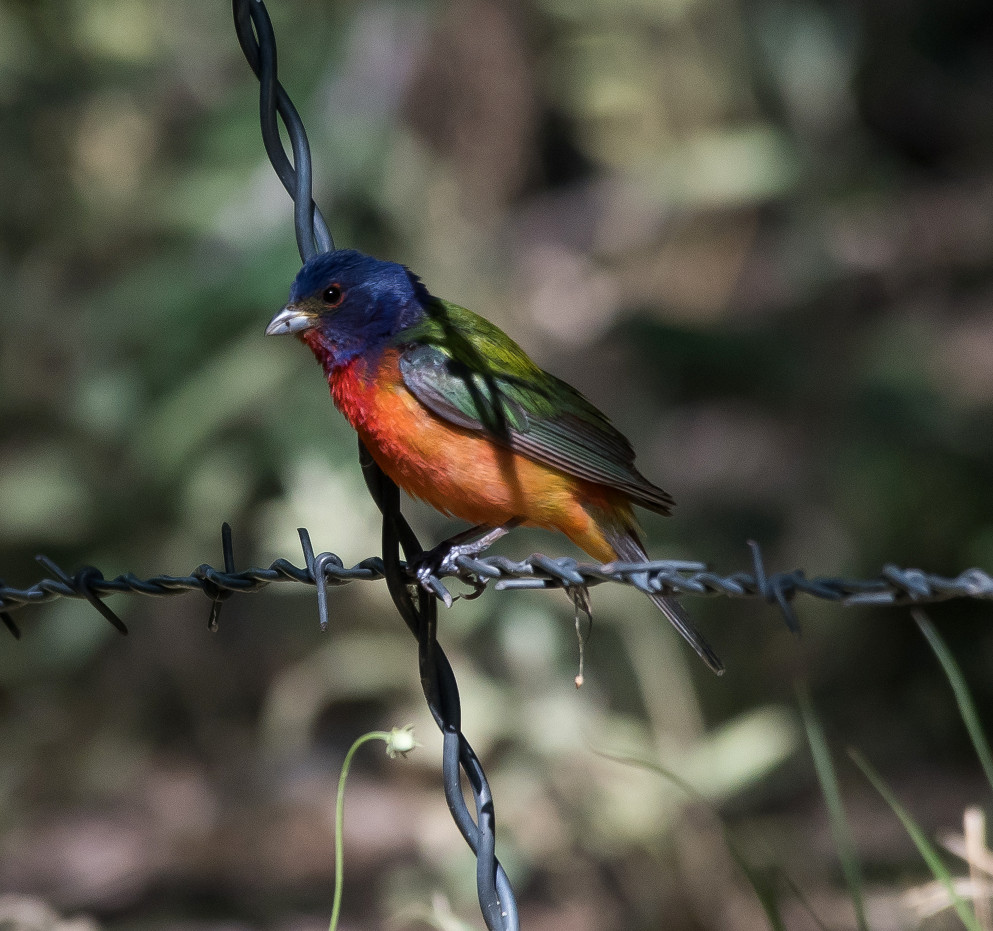
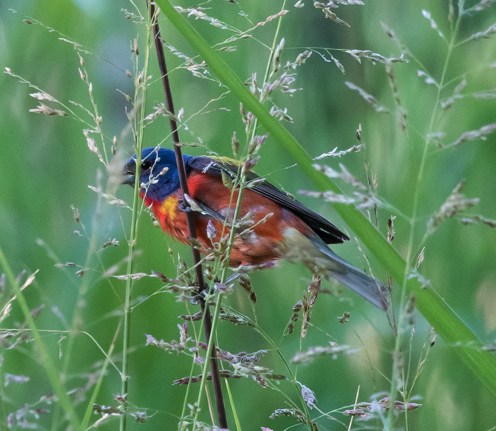
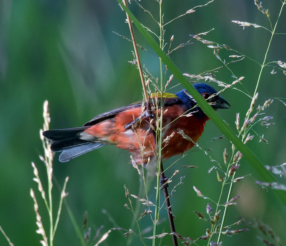
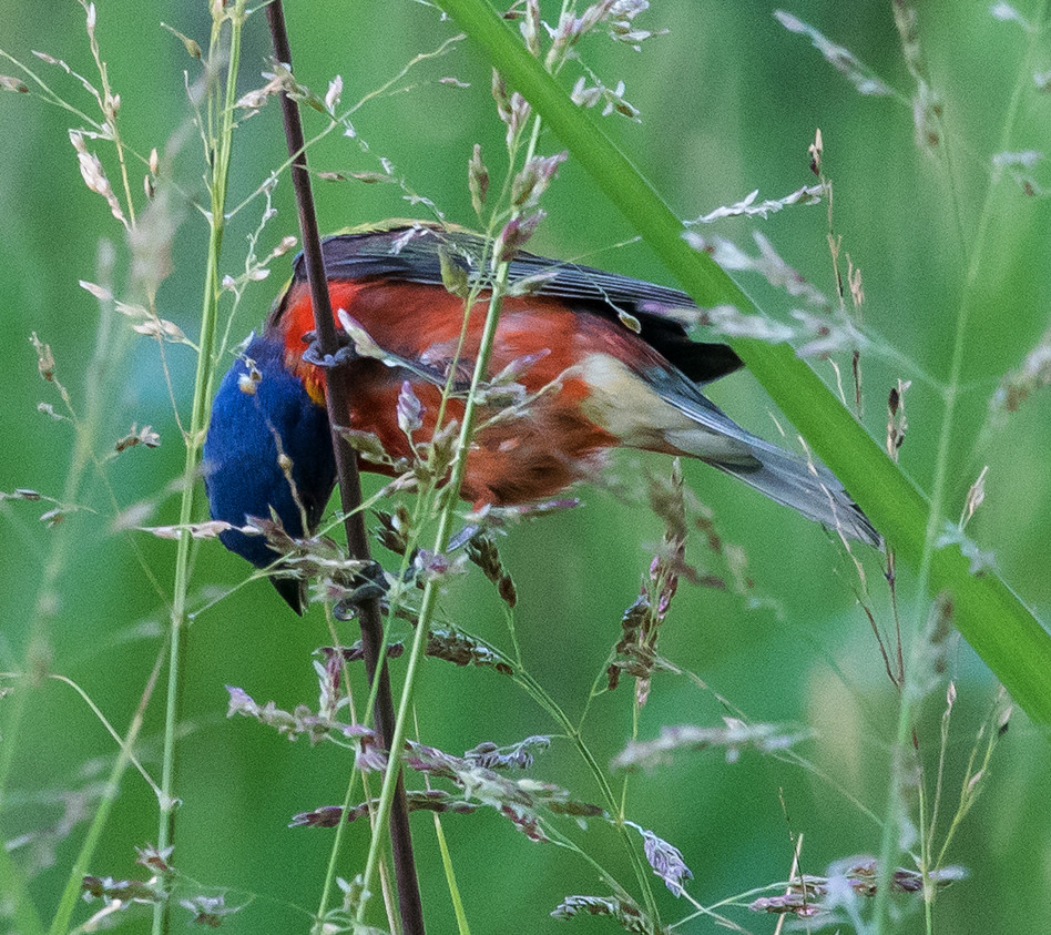
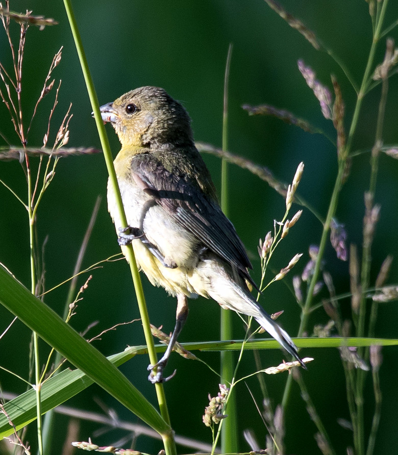
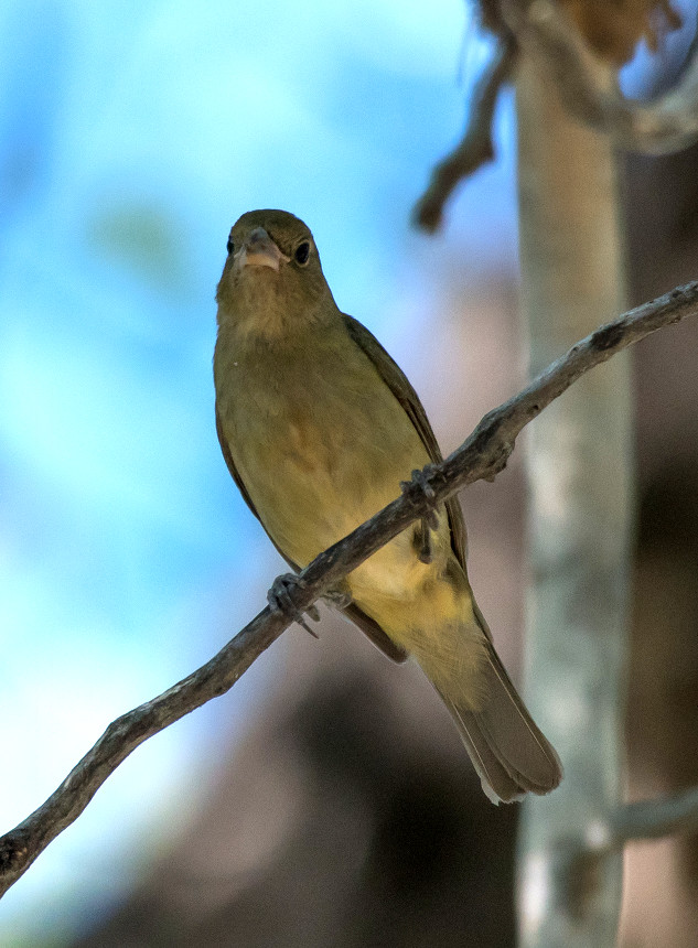
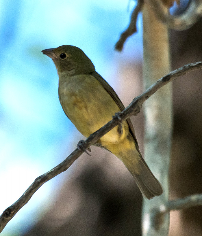
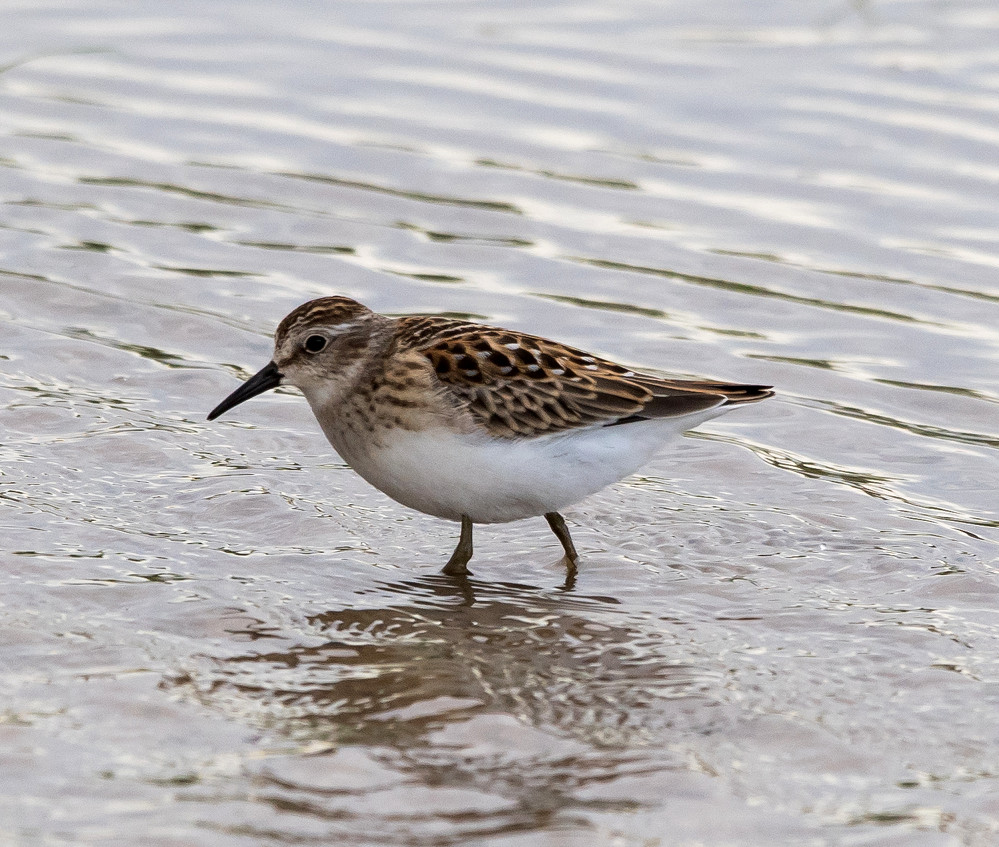
Notable: Gray Hawk; Baird's Sandpiper; Painted Bunting
@Hob: Hobbs
@LagGr: NM-128^E: Laguna Grande
@RS: Rattlesnake Springs
@StephP: Eunice: Stephens Park
@Wash: Washington Ranch
@WashRd: Washington Ranch Road
@day: Rattlesnake Springs to Hobbs
@road01: US-62-180^W: Carlsbad to Washington Ranch Road
@road02: NM-128^E: Laguna Grande to Lea Co. line
@road03: Lea Co.: Delaware Basin Rd.
Route
0630, leave Carlsbad westbound.
0655, turn onto Washington Ranch Road.
0715-1110, walked from the east gate of Rattlesnake Springs
to the west end and back, with special attention to the
Conservancy side of the fence near the picnic area.
1110-1125, quick look at the near end of Washington
Ranch.
1330, quick look at Laguna Grande.
1415-1500, Delaware Basin Road north to NM-176, thence
east to Stephens Park.
1500-1520, Stephens Park west of Eunice.
1545, stop in Hobbs.
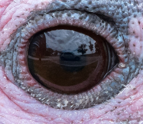
Turkey, Wild # @Washington Ranch Road
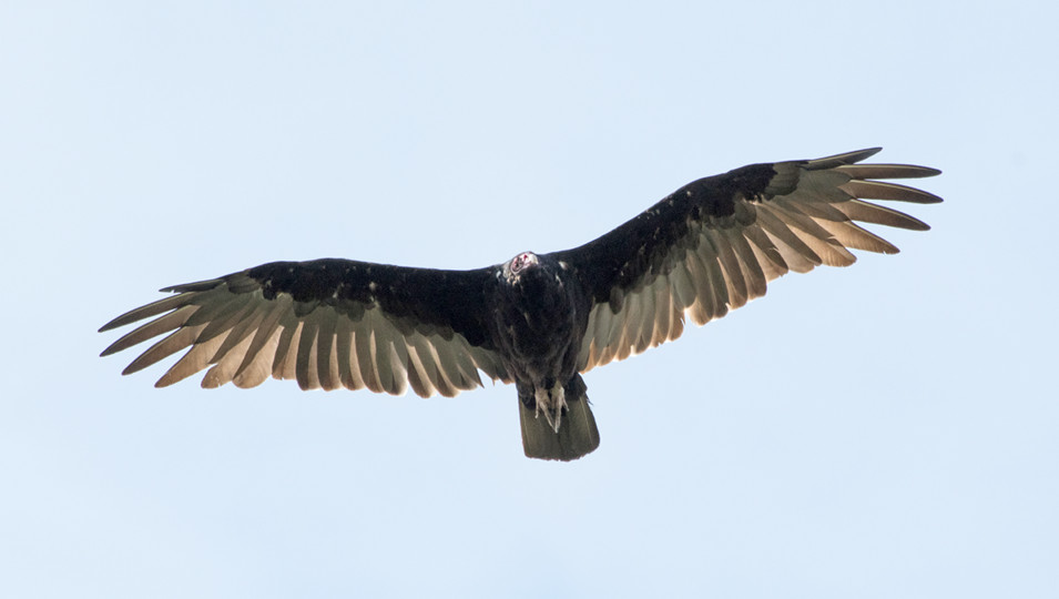
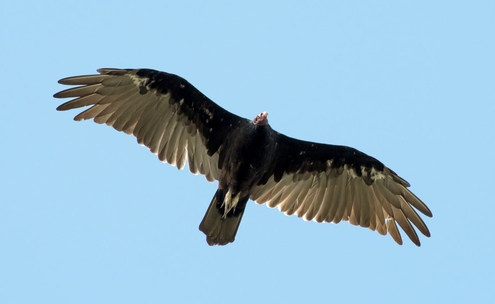
Vulture, Turkey # @Washington Ranch Road
Kite, Mississippi 1 @Hobbs
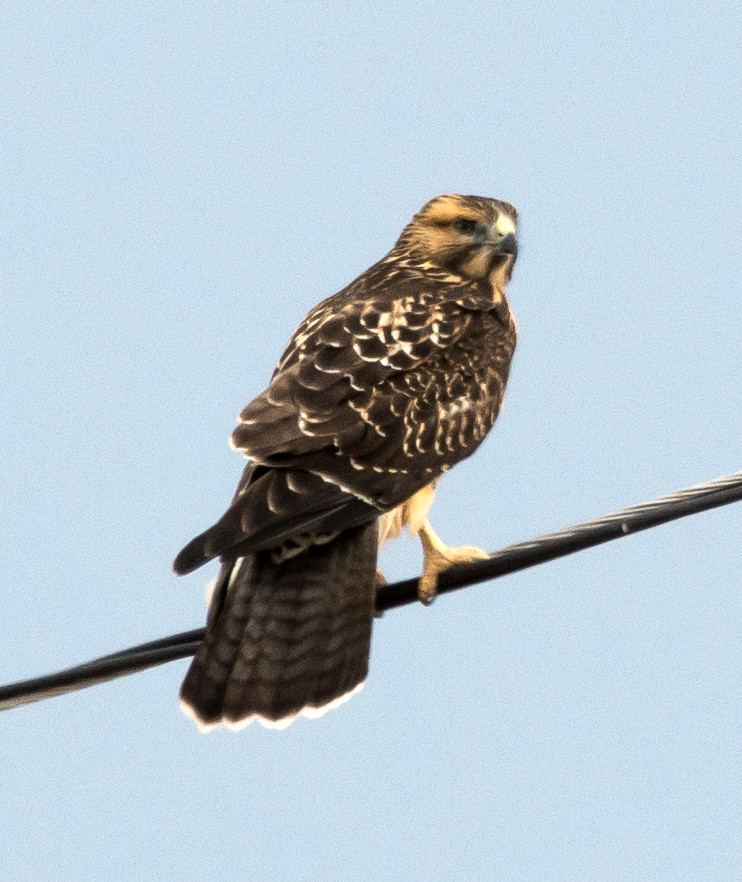
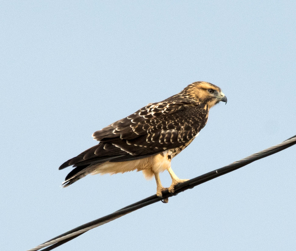
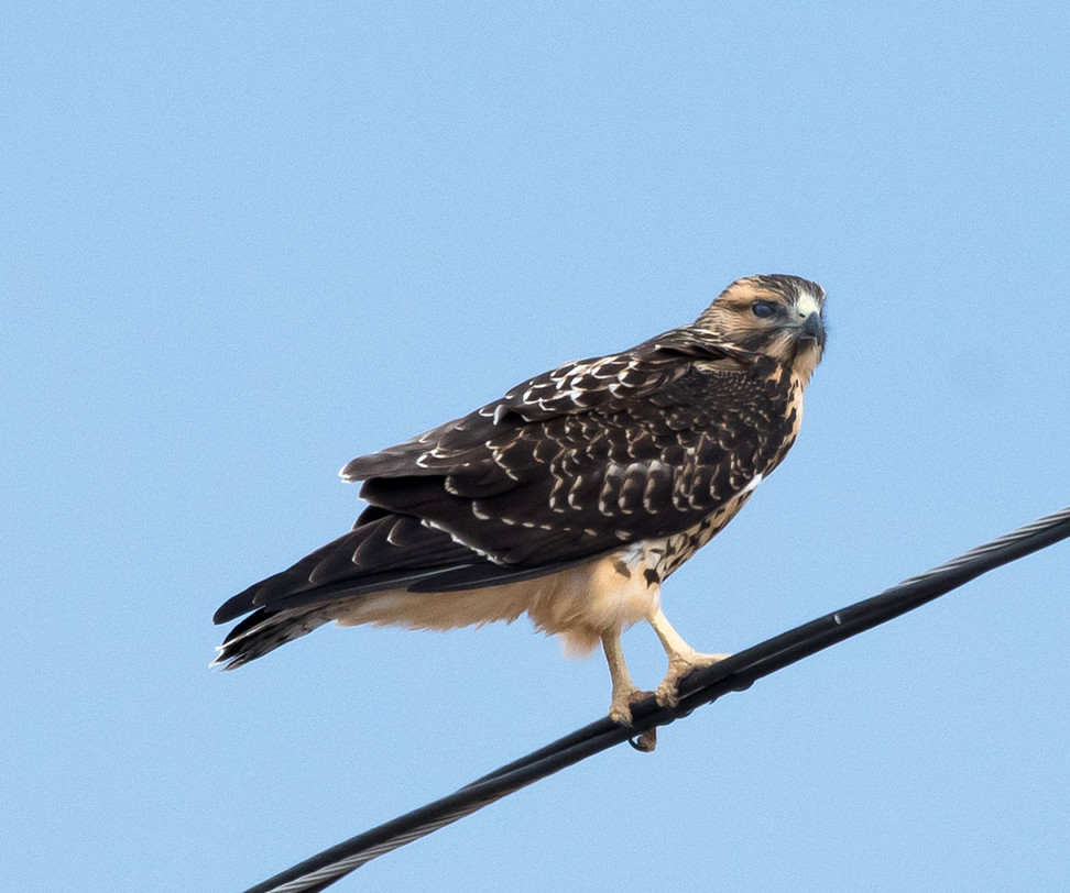
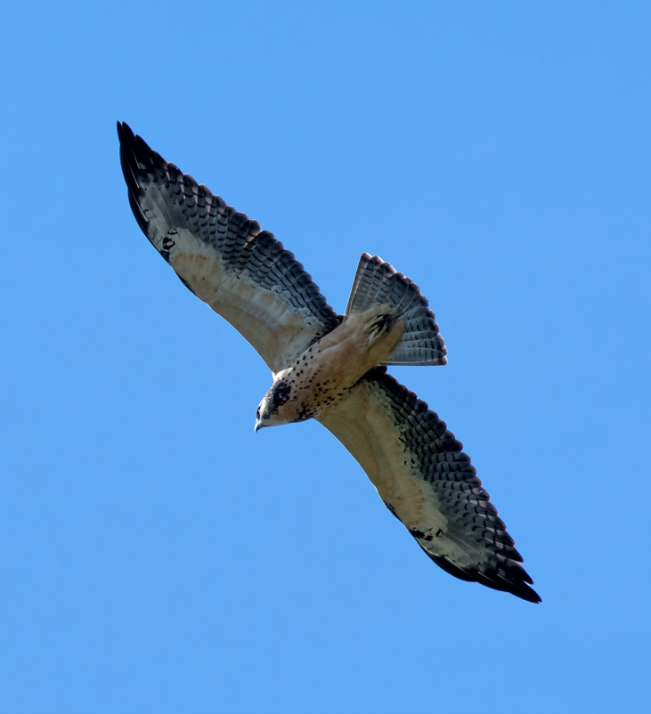
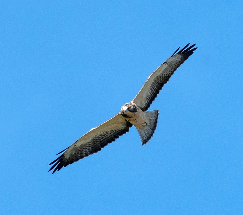
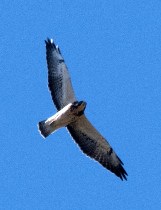
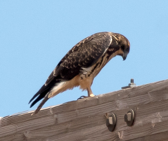
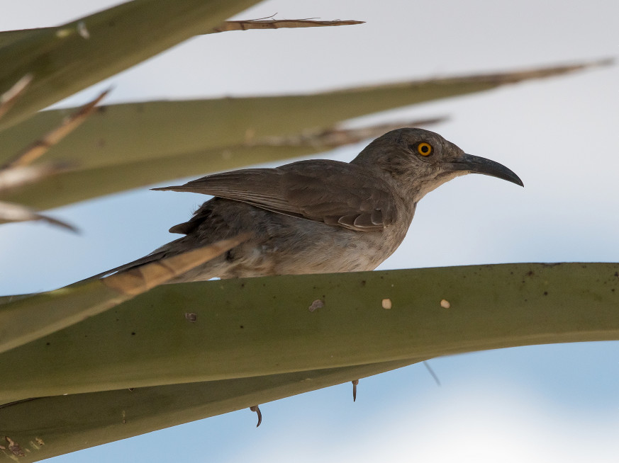
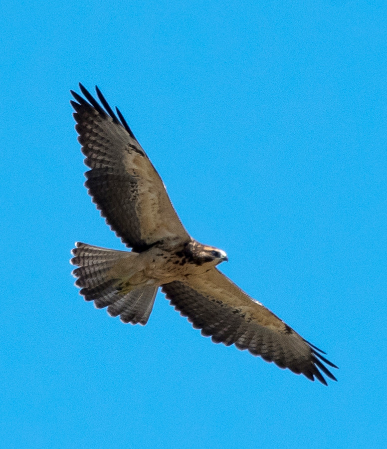
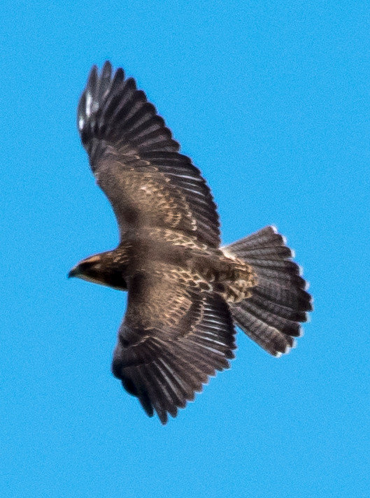
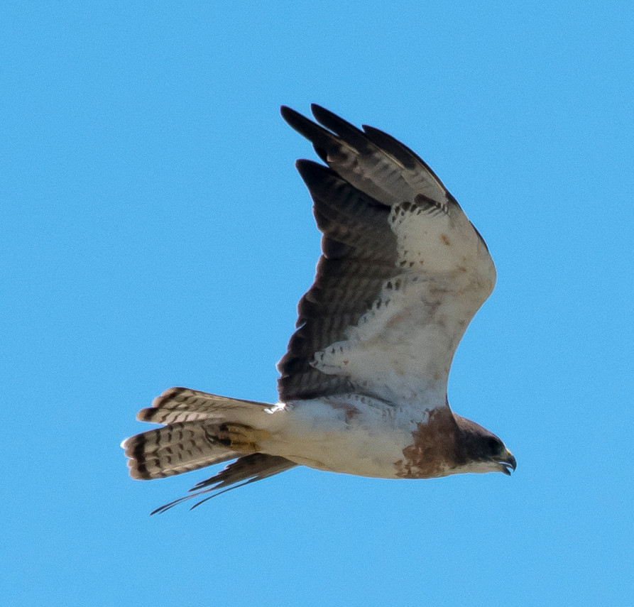
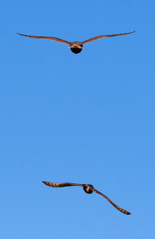
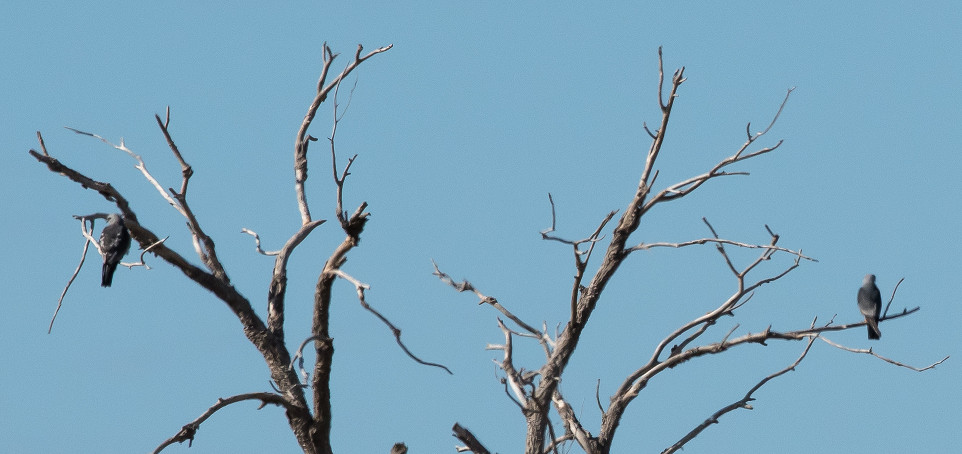
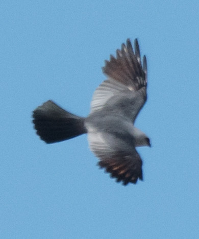
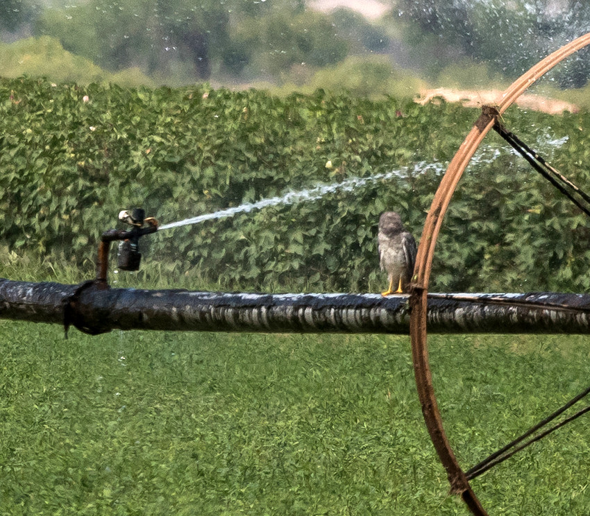
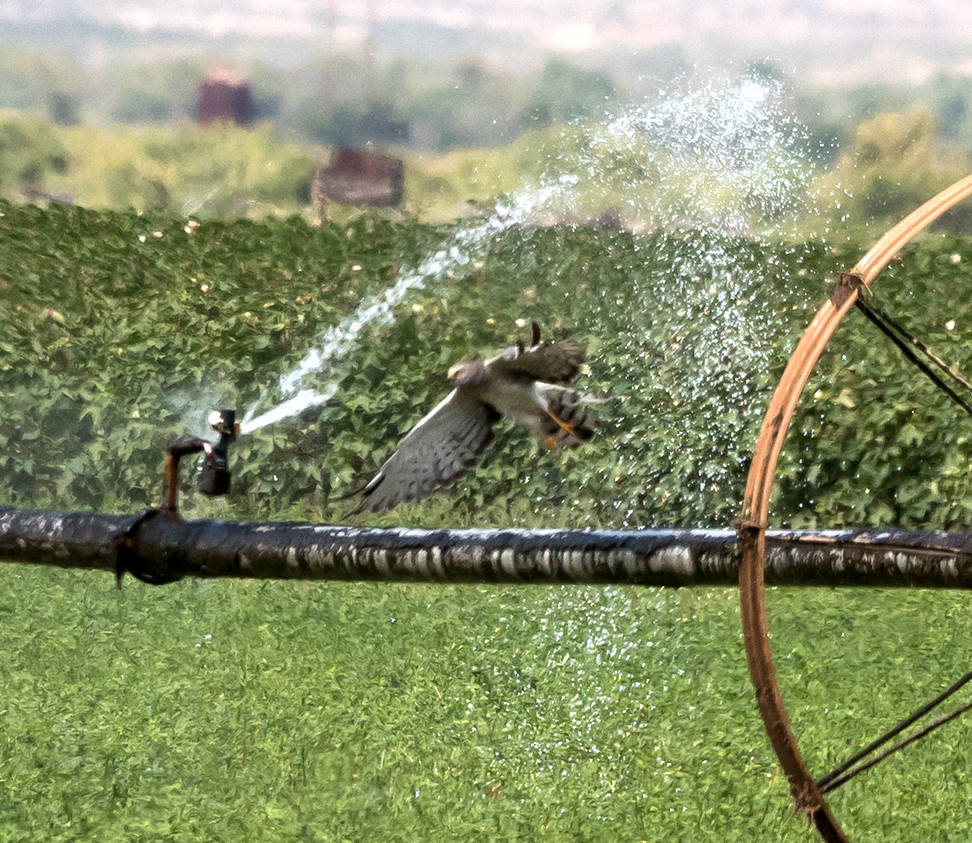
Hawk, Gray 1i @Rattlesnake Springs
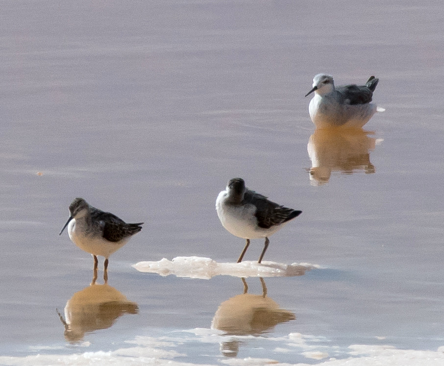
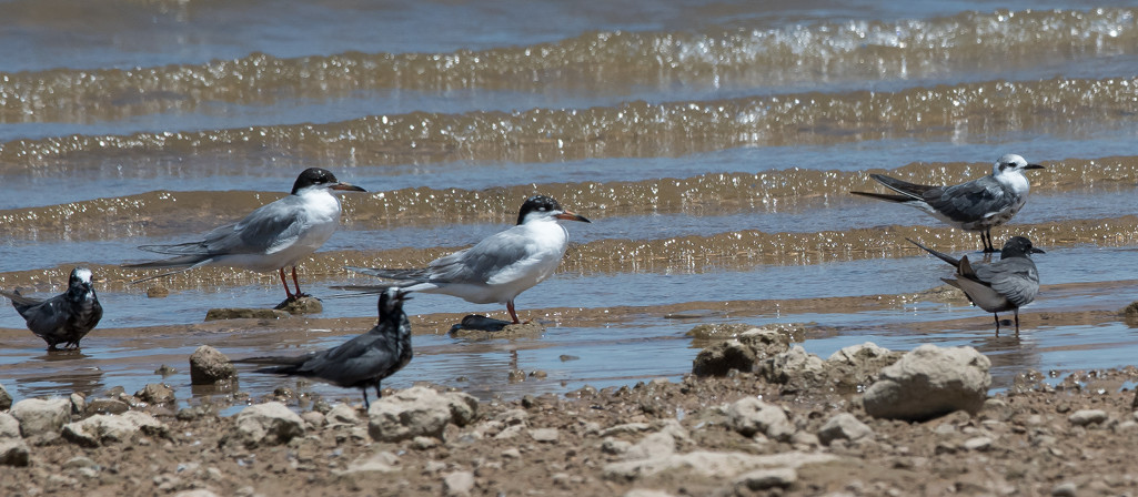
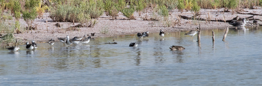
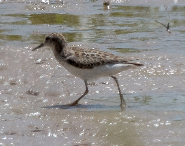
peep sp. # @NM-128^E: Laguna Grande
Collared-Dove, Eurasian # @US-62-180^W: Carlsbad to Washington Ranch Road
Dove, White-winged # @US-62-180^W: Carlsbad to Washington Ranch Road
Dove, Mourning # @Eunice: Stephens Park
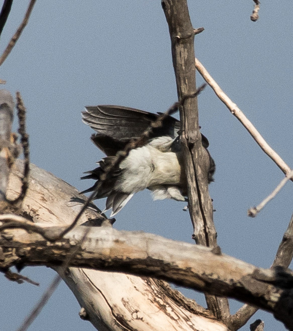
Woodpecker, Ladder-backed 1♂ @Rattlesnake Springs
Flycatcher, Scissor-tailed 1 @Lea Co.: Delaware Basin Rd.
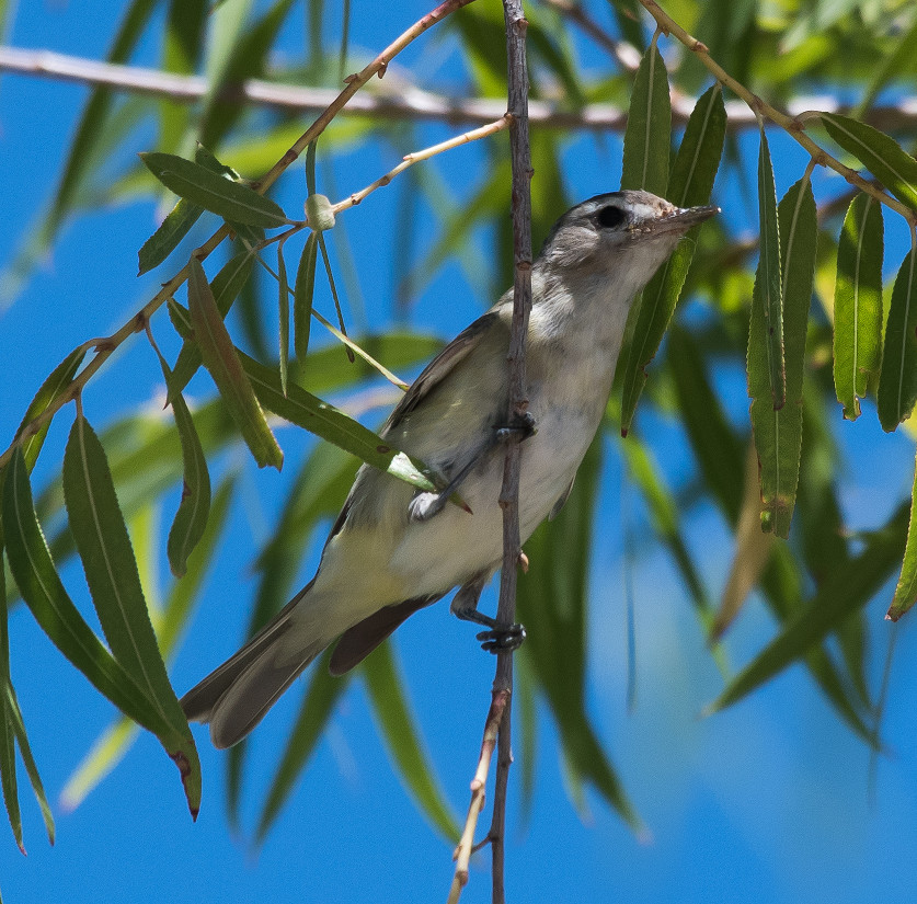
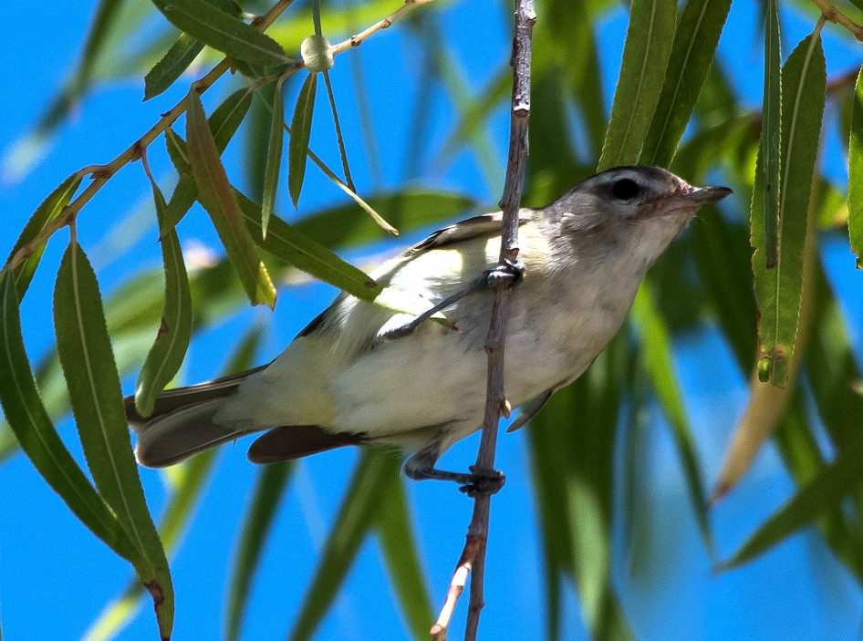
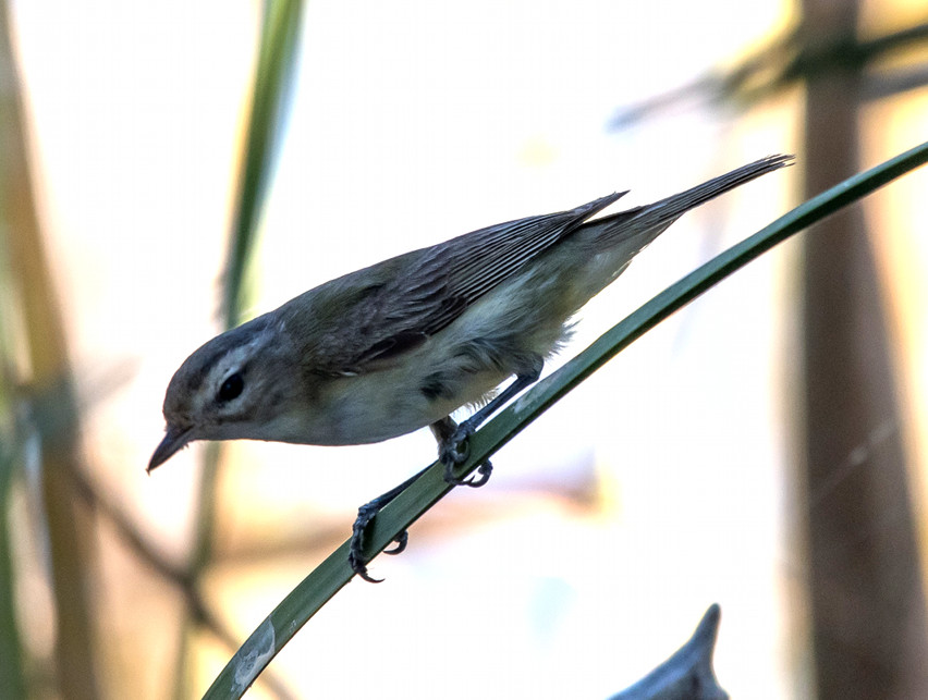
Vireo, Warbling 1 @Rattlesnake Springs
Raven, Chihuahuan # @Lea Co.: Delaware Basin Rd.
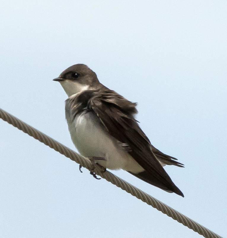
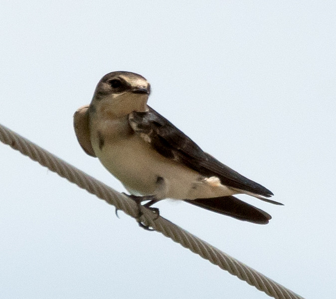
Swallow, Barn # @Rattlesnake Springs
Mockingbird, Northern # @Rattlesnake Springs
Chat, Yellow-breasted # @Rattlesnake Springs
Sparrow, Lark # @Washington Ranch Road
Sparrow, Black-throated 1 @Washington Ranch Road
Tanager, Summer 1 @Rattlesnake Springs
Tanager, Western 1 @Rattlesnake Springs
Grackle, Great-tailed # @US-62-180^W: Carlsbad to Washington Ranch Road
Sparrow, House # @US-62-180^W: Carlsbad to Washington Ranch Road
2016-08-05: NM: Hobbs to Percha SP via Alamogordo
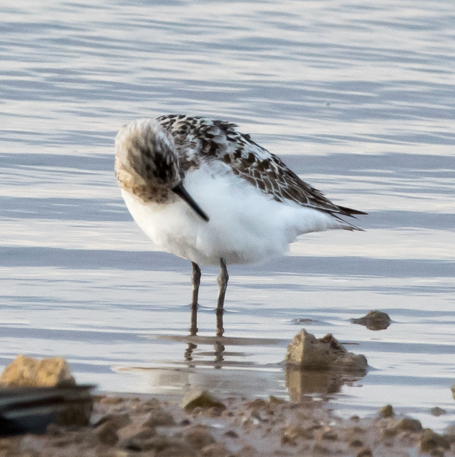
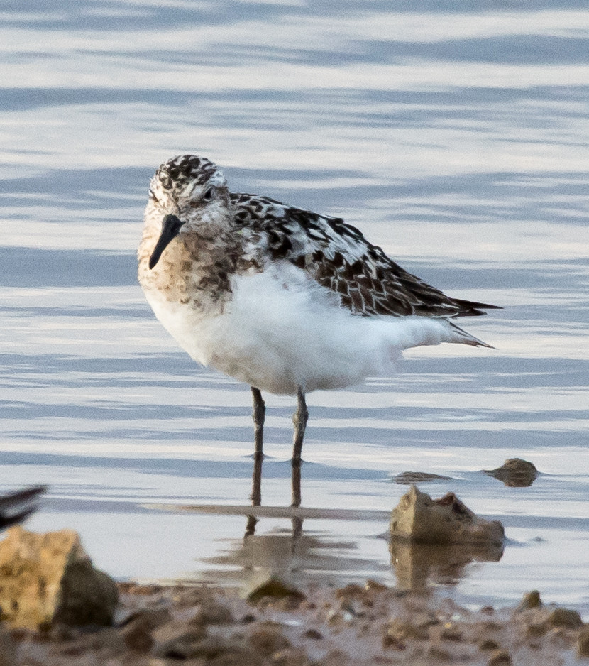
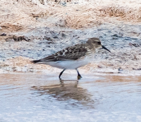
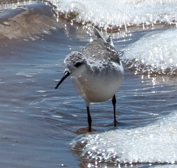
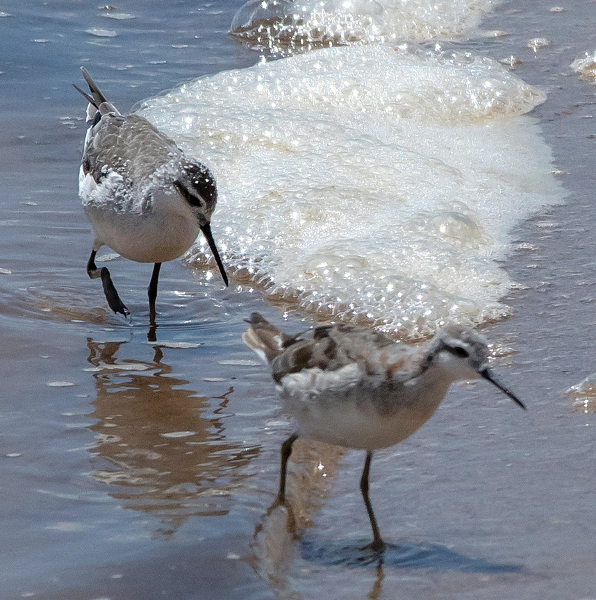
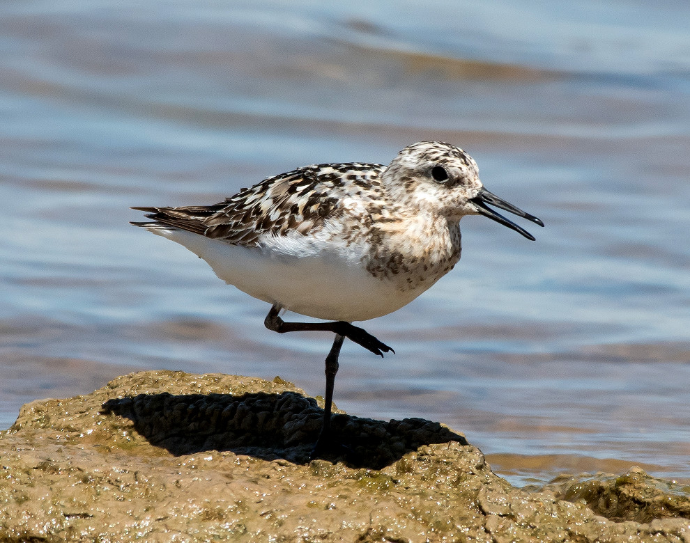
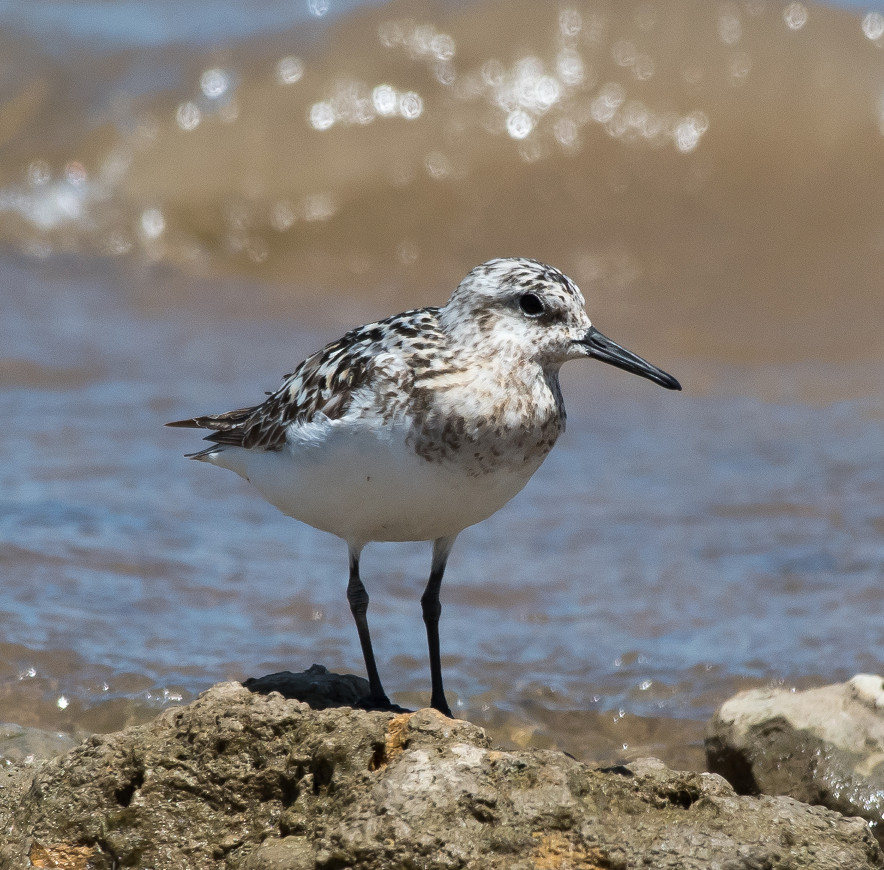
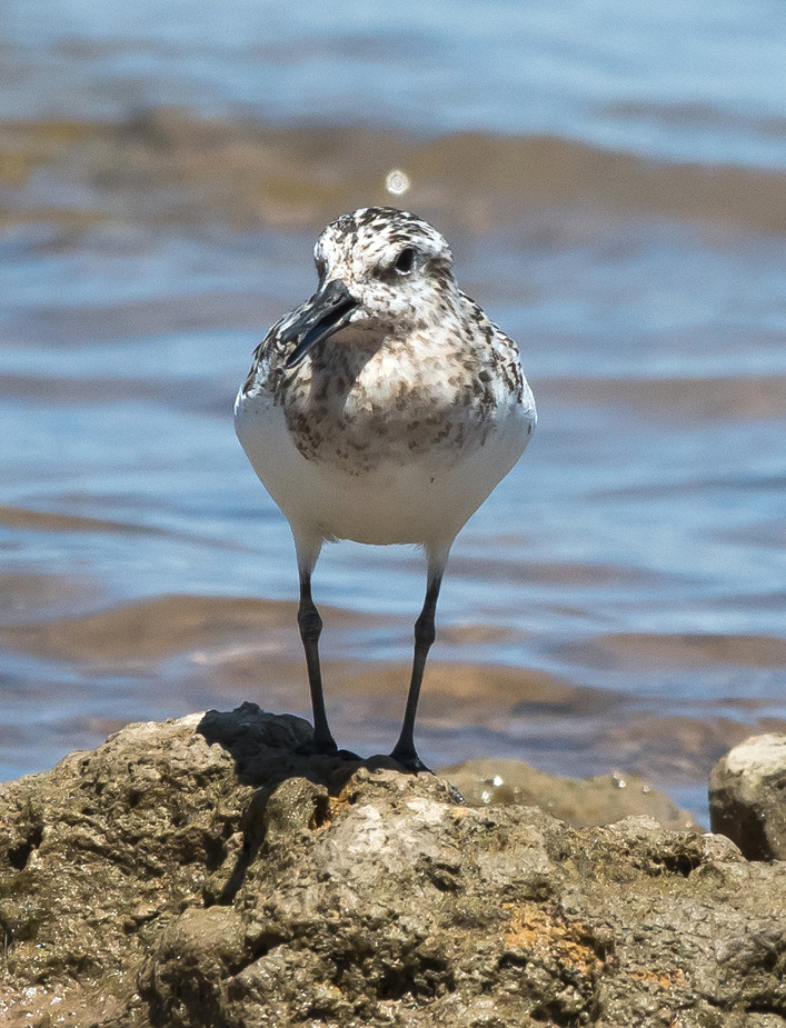
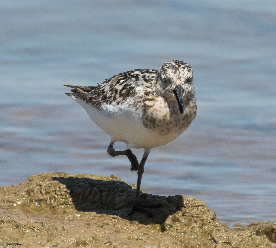
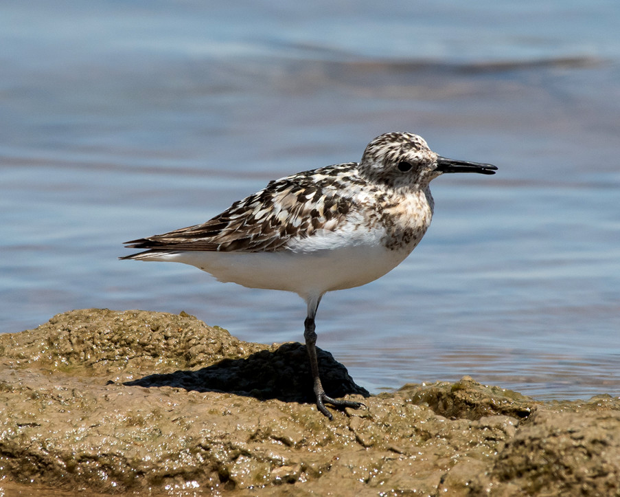
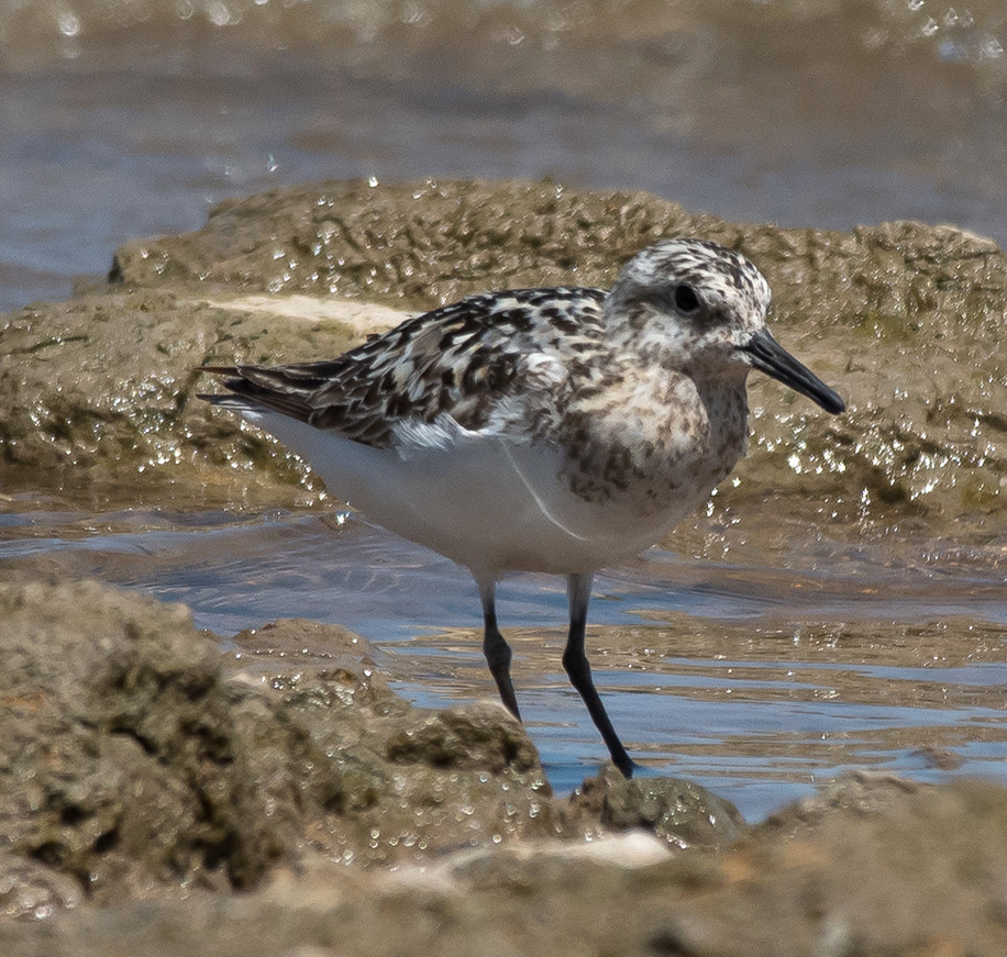
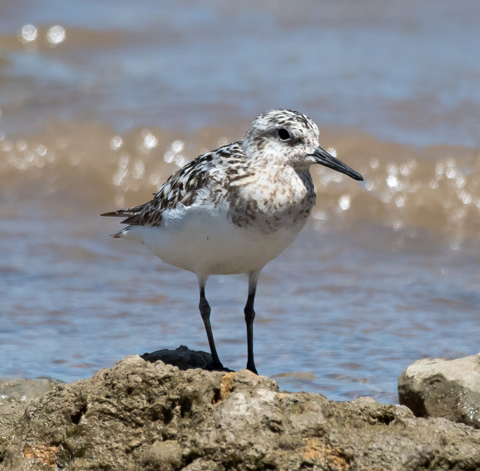
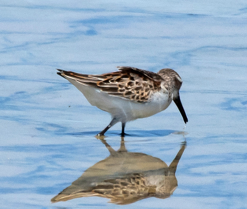
Notable: Sanderling; Warbling Vireo; Blue Jay
@Cheap: Brantley Lake: Champion Cove Road
@ConL: Lea Co.: Conoco Lake
A new location for me.
GPS: 324721n1034546w
From NM-259, turn north here onto LE-126^N.
GPS: 324845n1034547w
Traveling on LE-126^N, turn east here onto a fine-quality
dirt road (but take it slow).
GPS: 324845n1034506w
Turn south here onto the loop road that circumnavigates
Conoco Lake counterclockwise.
@Hob: Hobbs
@HobCP: Hobbs City Park
@Hollo: Holloman Lake
@Percha: Sierra Co.: Percha SP area
@RockL: Hobbs: Rockwind Links area
@day: Hobbs to Percha SP via Alamogordo
@road01: NM-529^W: Hobbs to Maljamar area
@road02: Eddy Co: NM-82^W, Lea Co. line to Artesia
@road03: US-285^N: Eddy Co.: Brantley Lake to Chaves Co. line
@road04: US-285^N: Chaves Co.: Eddy Co. line to Roswell
@road05: US-82^W: Otero Co.: Mayhill area
Route
0850, rolling through urban Hobbs to City Park.
0910-0930, Hobbs City Park.
0930-1010, Hobbs, Breakwind Links area.
1035-1120, west on NM-529.
1120-1150, look into the east side of Conoco Lake.
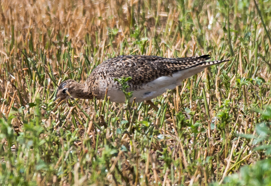
1235-1305, look again at the ag areas south of Artesia
for Upland Sandpipers (and fail again).
1320-1350, Cheapskate (aka Champion Cove Road).
1415, north on US-285.
1440, Chaves County.
1515, Otero County.
1635, Holloman Lake.
1815, quick look at Percha. The nice lady at the
booth was not empowered to accept the $30 annual fee and
I didn't want to pay $5 for ten minutes' look at the
forebay, so I just turned around and left. She suggested
I drive up to the office, but there was no one there. And
the Percha park manager was closed. There's no place I
know of between T or C and Albuquerque that will sell me
an annual state park pass.
Kestrel, American 1 @US-82^W: Otero Co.: Mayhill area
Coot, American 2 @Lea Co.: Conoco Lake
Killdeer # @Brantley Lake: Champion Cove Road
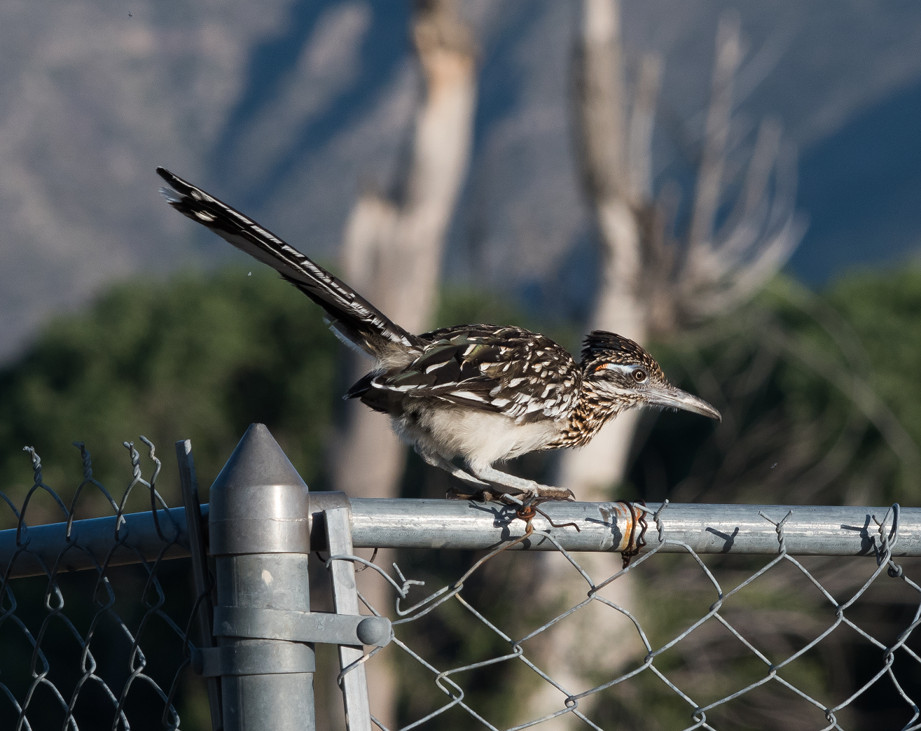
Roadrunner, Greater 1 @NM-529^W: Hobbs to Maljamar area
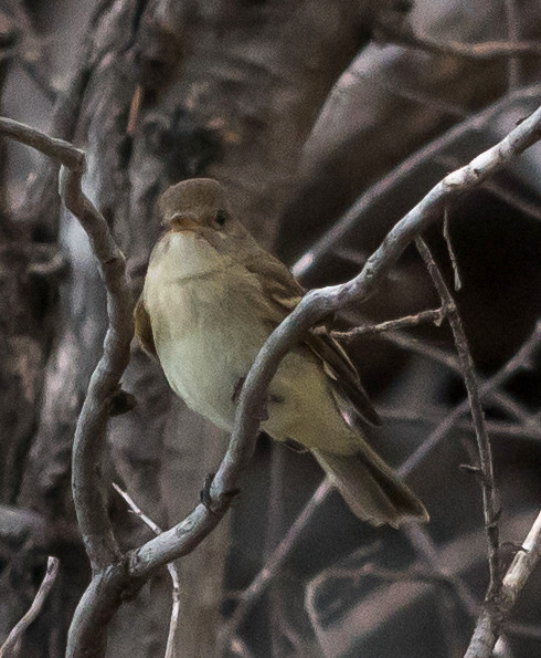
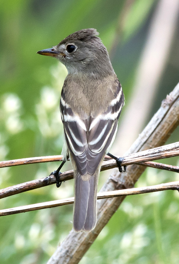
Empidonax sp. 1 @Lea Co.: Conoco Lake
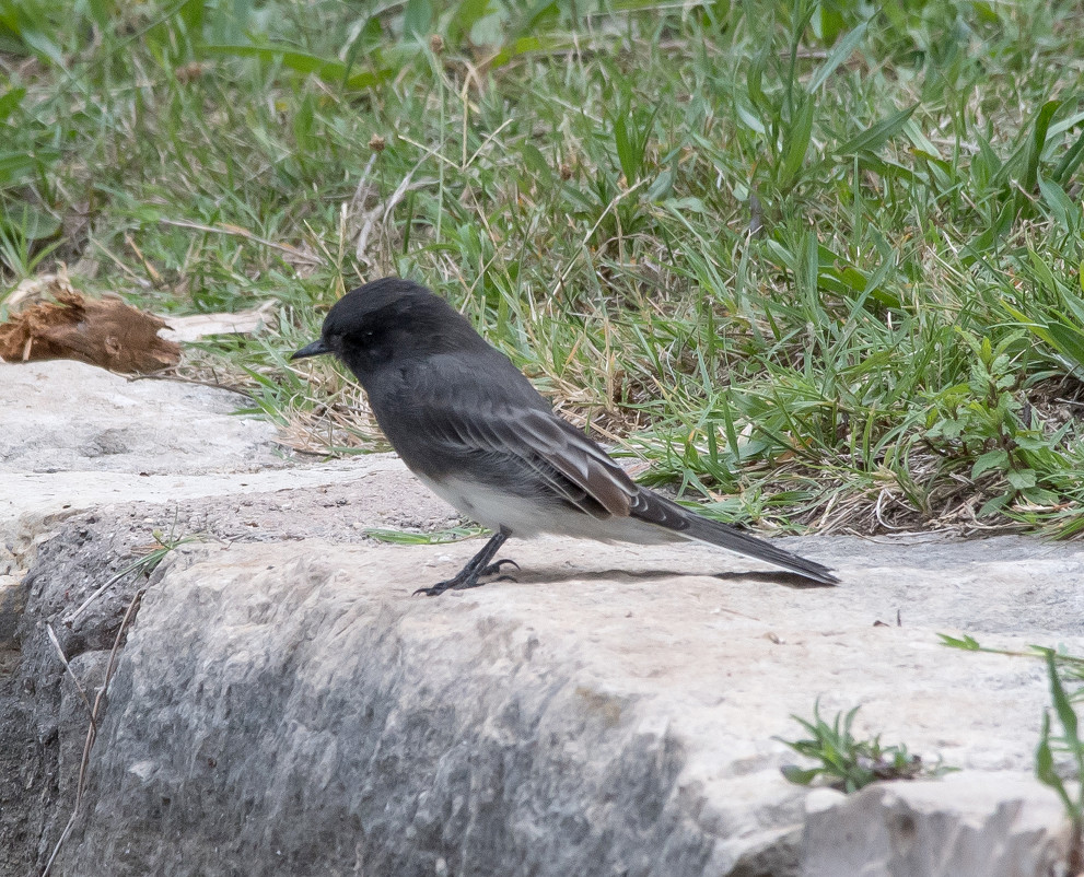
Phoebe, Black 1 @Sierra Co.: Percha SP area
raven sp. 1 @Sierra Co.: Percha SP area
Raven, Chihuahuan # @NM-529^W: Hobbs to Maljamar area
Raven, Common 1 @US-82^W: Otero Co.: Mayhill area
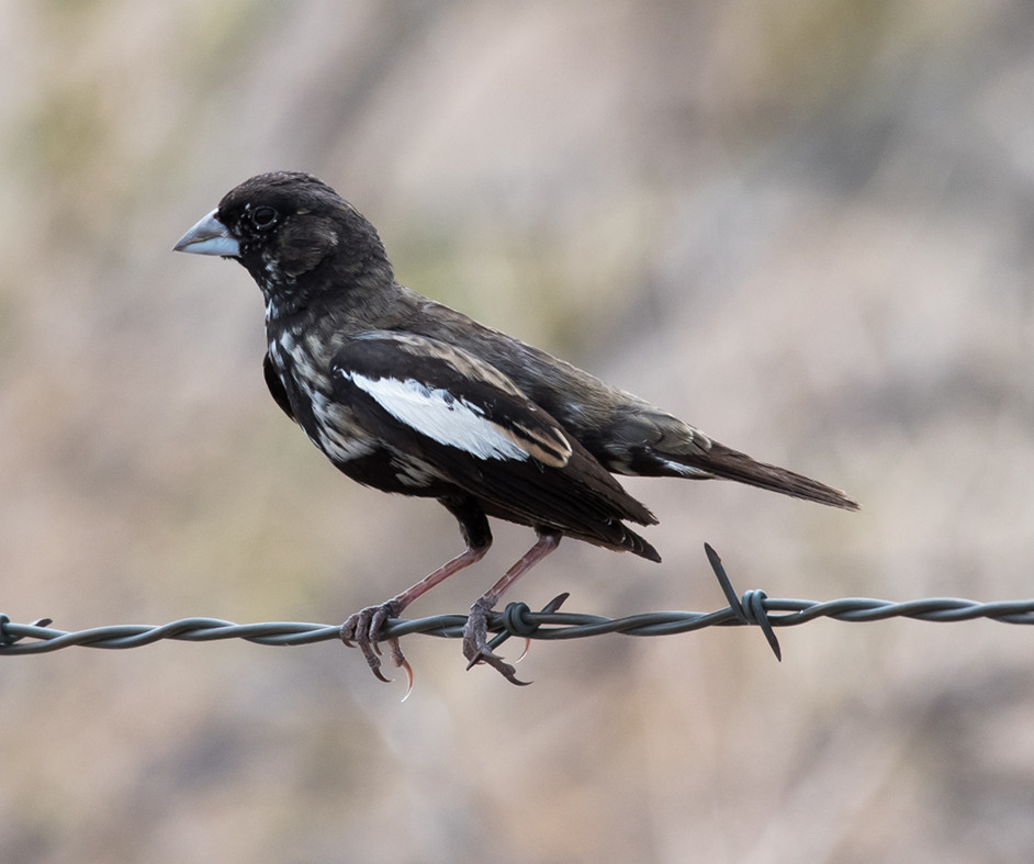
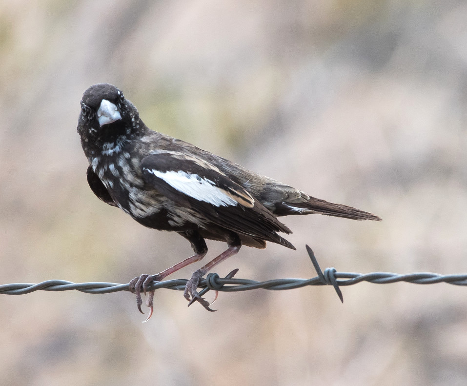
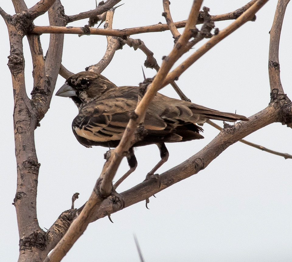
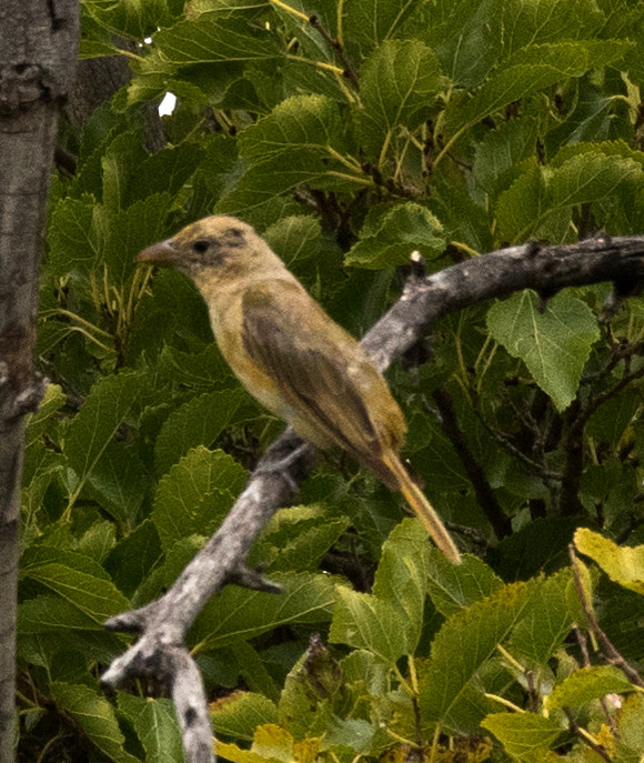
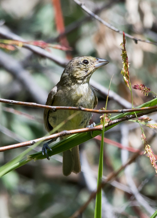
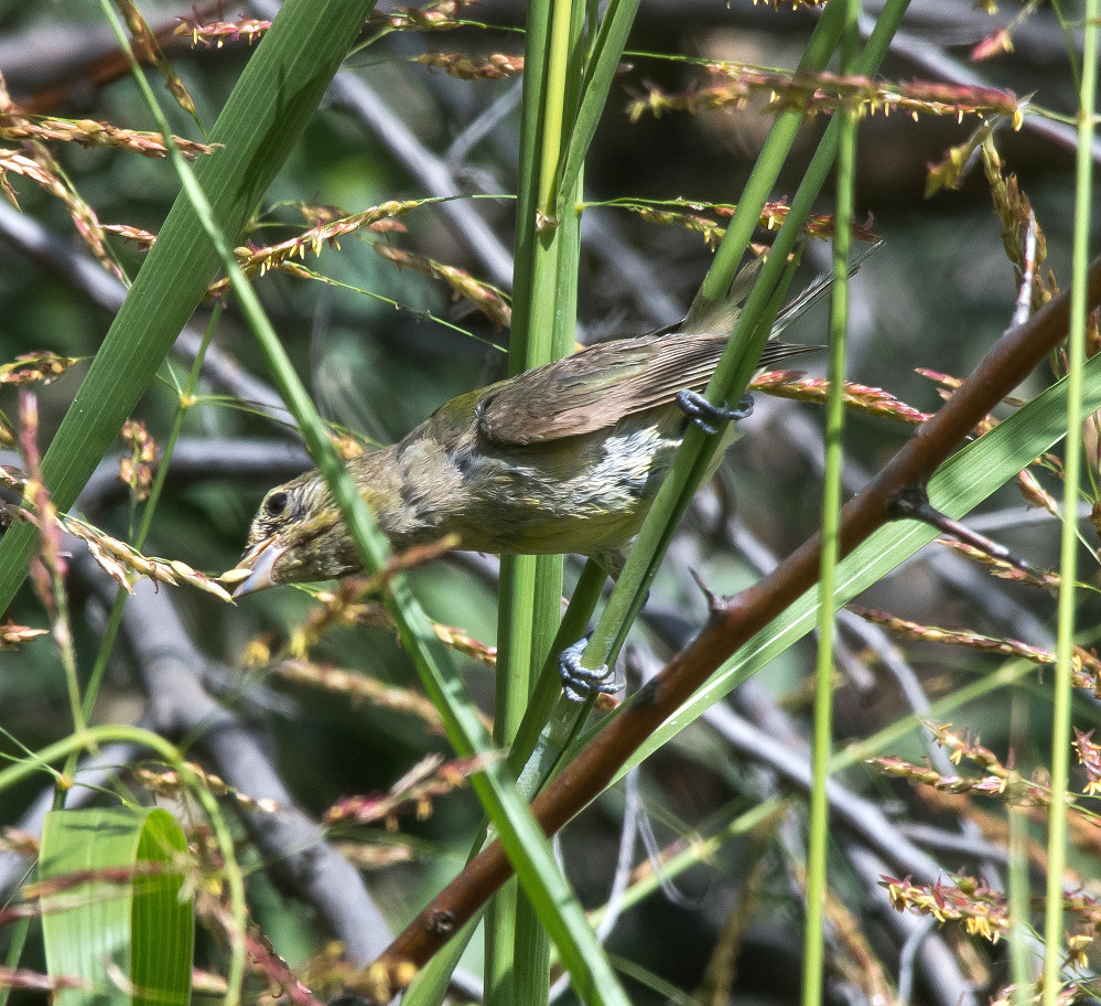
bunting sp. 1 @Lea Co.: Conoco Lake
Sparrow, Lark 1 @Sierra Co.: Percha SP area
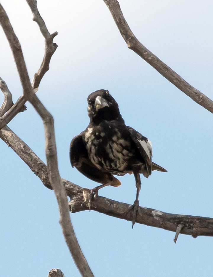
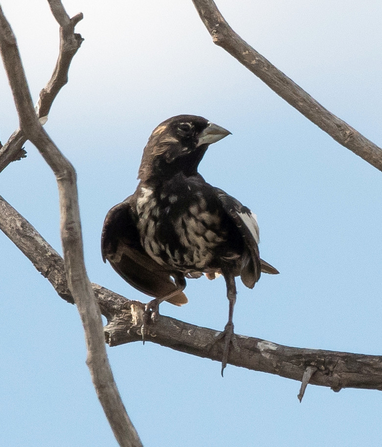
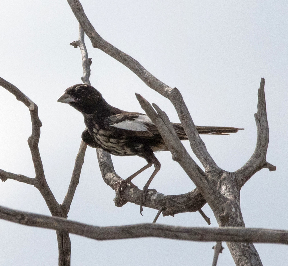
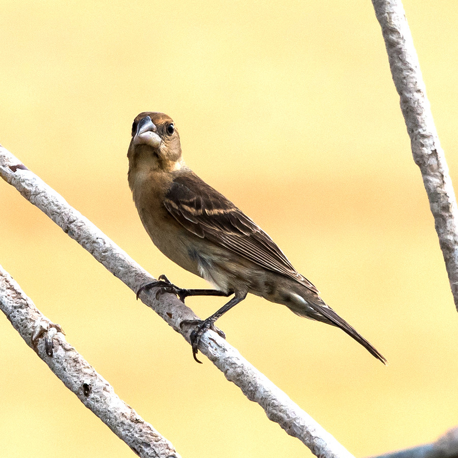
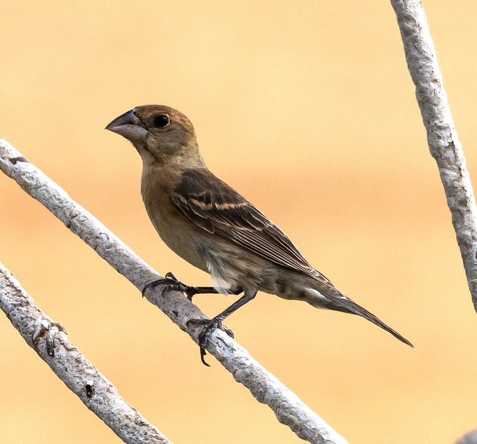
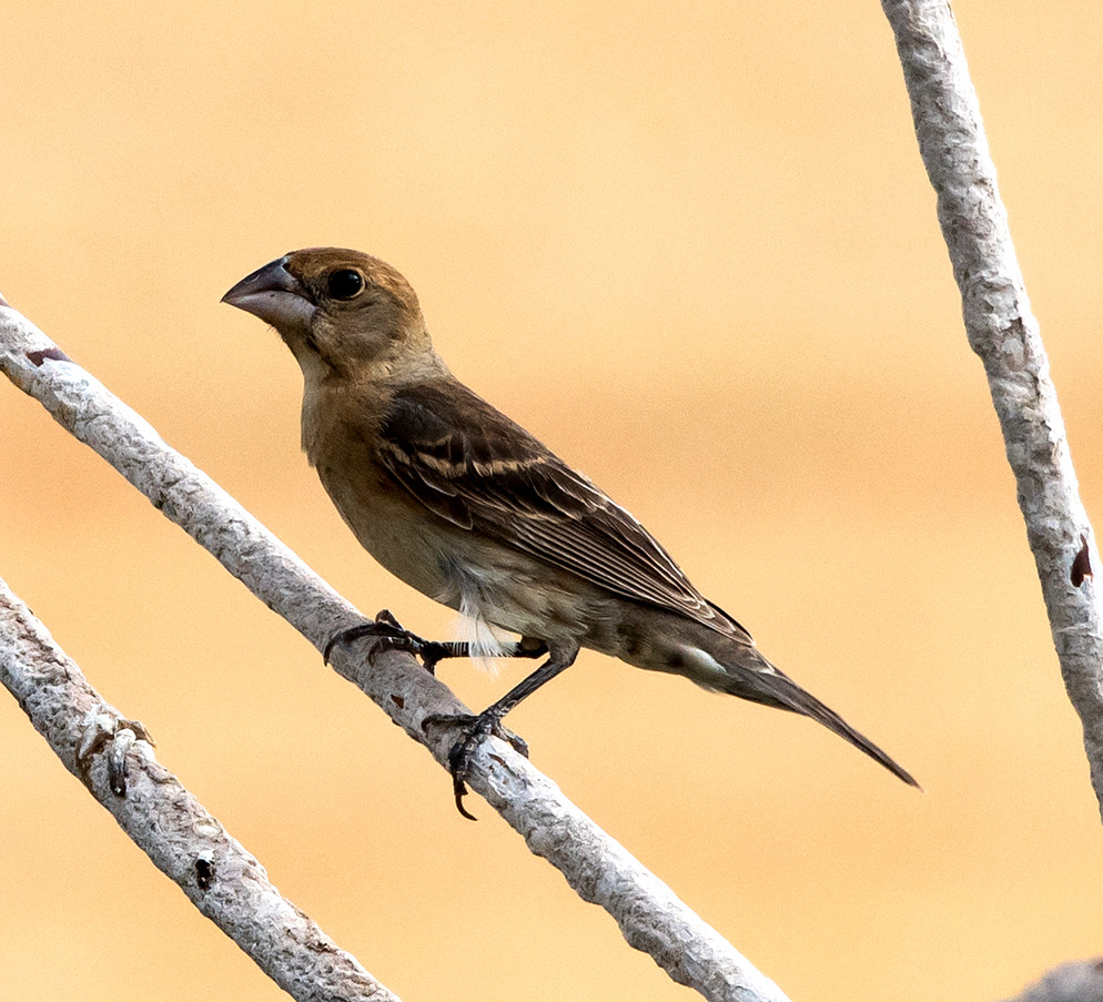
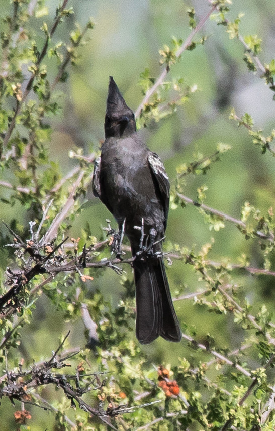
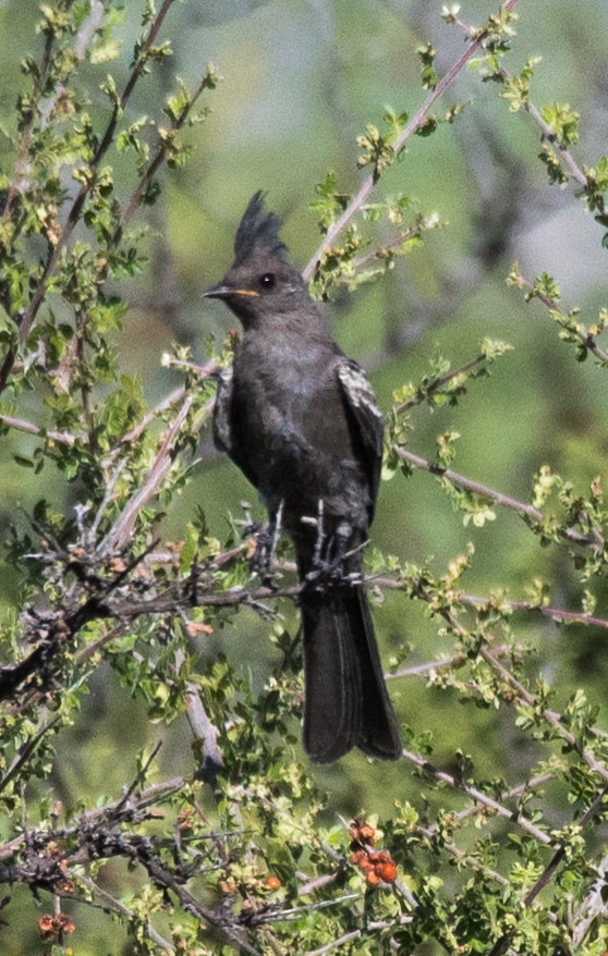
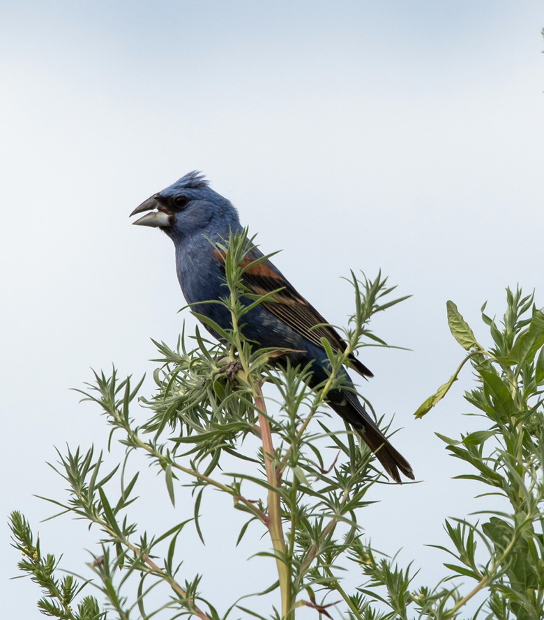
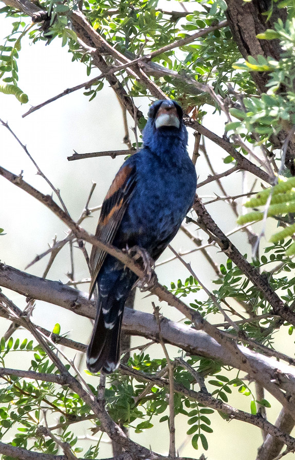
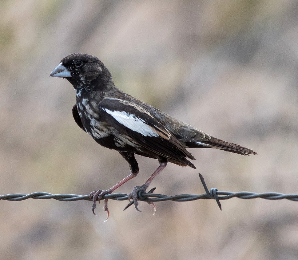
Grosbeak, Blue 1 @Sierra Co.: Percha SP area
Finch, House 1 @Lea Co.: Conoco Lake
2016-08-10: NM: Socorro County
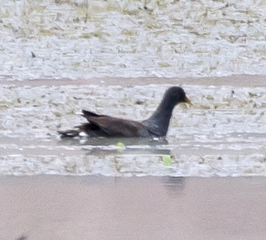
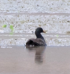
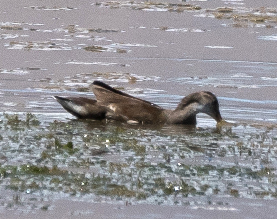
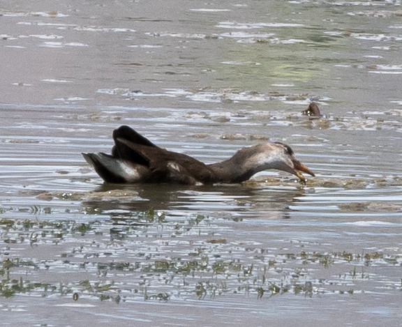
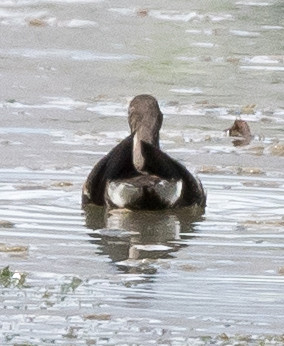
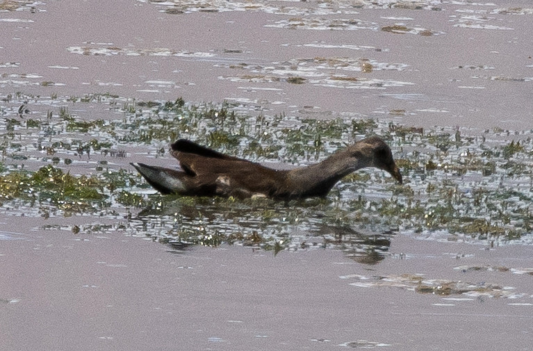
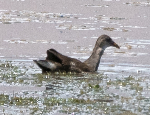
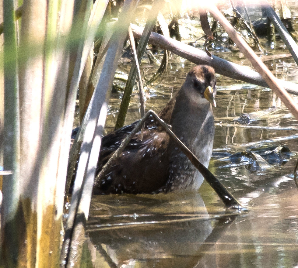
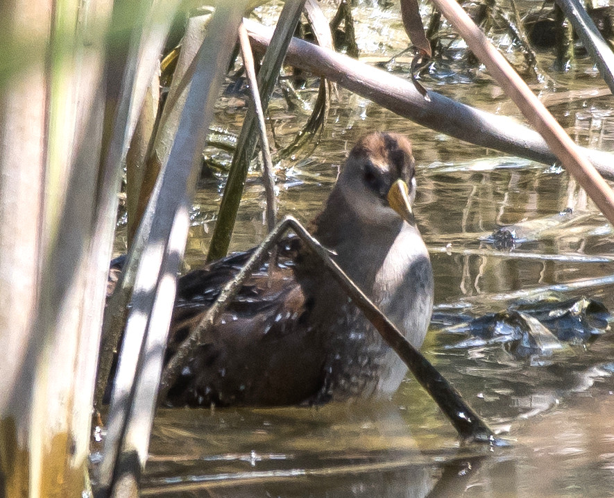
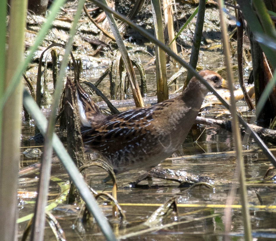
Notable: Common Gallinule
@BdA: Bosque del Apache NWR
@FMRd: Luis Lopez: Farm-Market Road
@SocCo: Socorro County
Route
1200, Farm-Market Road.
1255, Bosque del Apache NWR.
1525, Farm-Market again.
Shoveler, Northern 1 @Bosque del Apache NWR
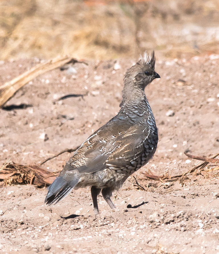
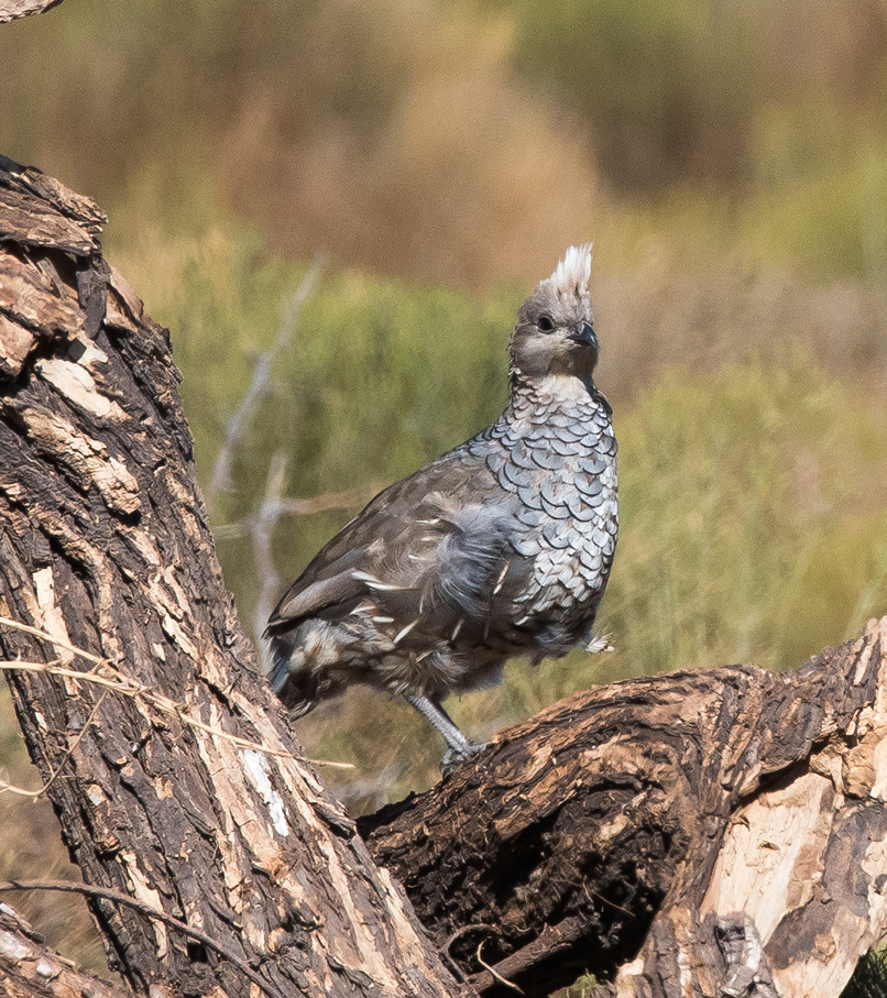
Quail, Gambel's # @Bosque del Apache NWR
Heron, Great Blue # @Bosque del Apache NWR
Egret, Great # @Bosque del Apache NWR
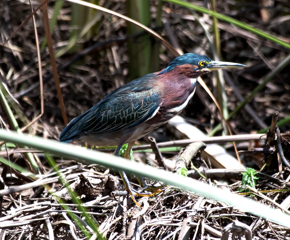
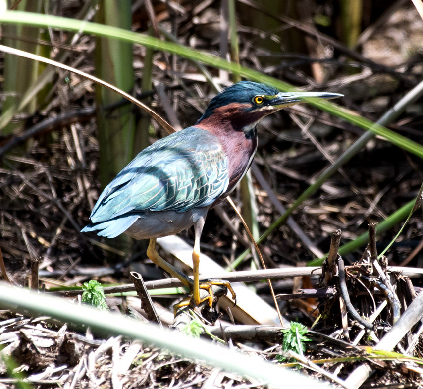
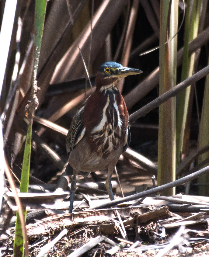
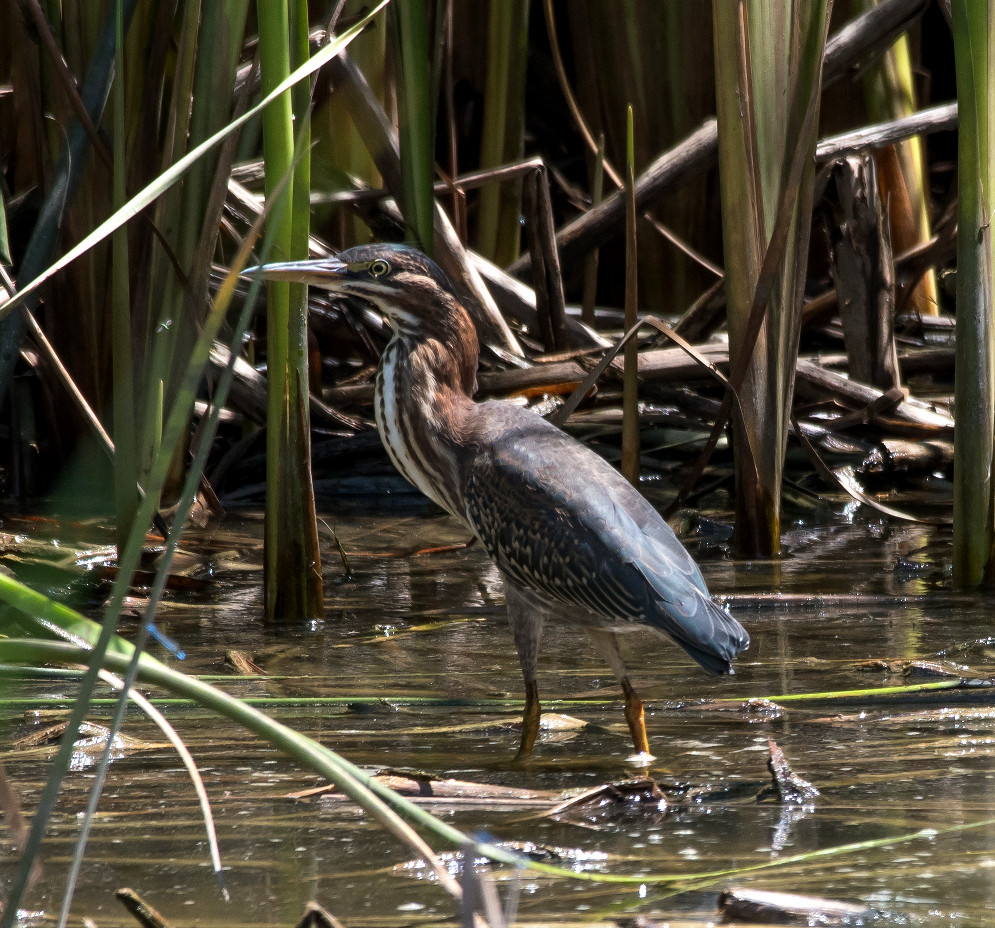
Heron, Green 1 @Bosque del Apache NWR
Killdeer # @Luis Lopez: Farm-Market Road
Collared-Dove, Eurasian # @Luis Lopez: Farm-Market Road
Dove, White-winged 1 @Luis Lopez: Farm-Market Road
Dove, Mourning 1 @Luis Lopez: Farm-Market Road
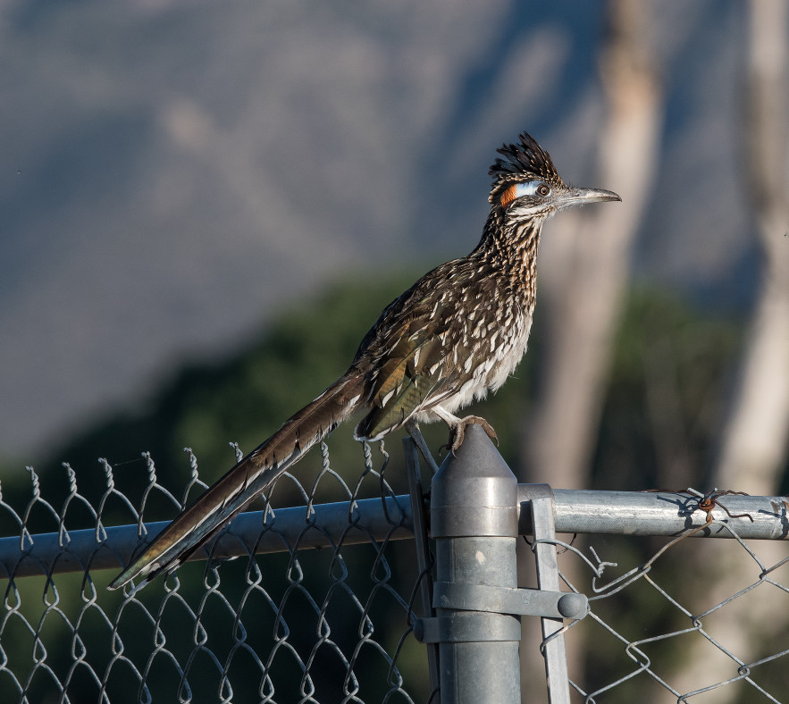
Roadrunner, Greater # @Bosque del Apache NWR
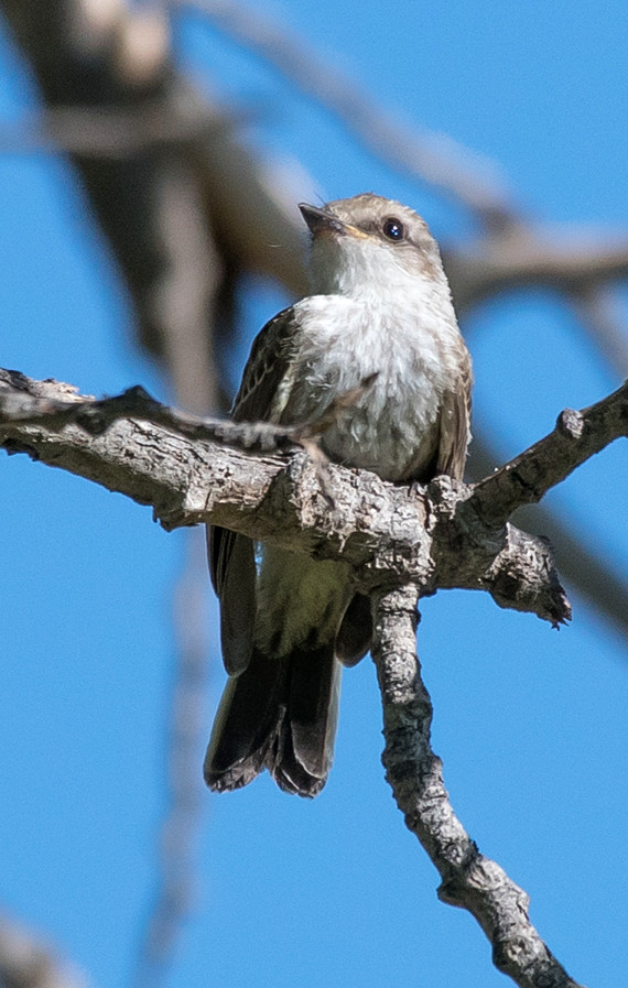
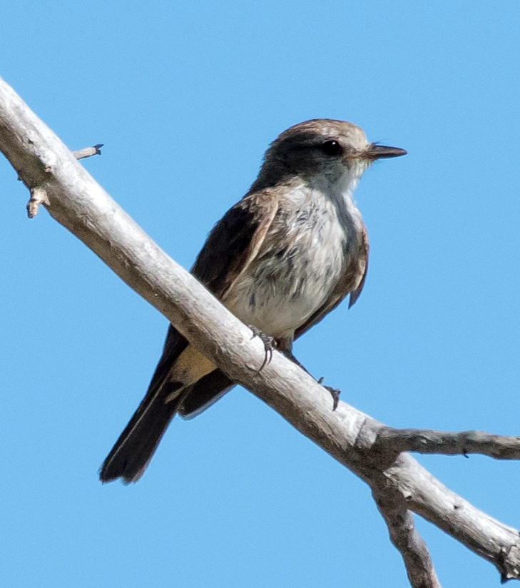
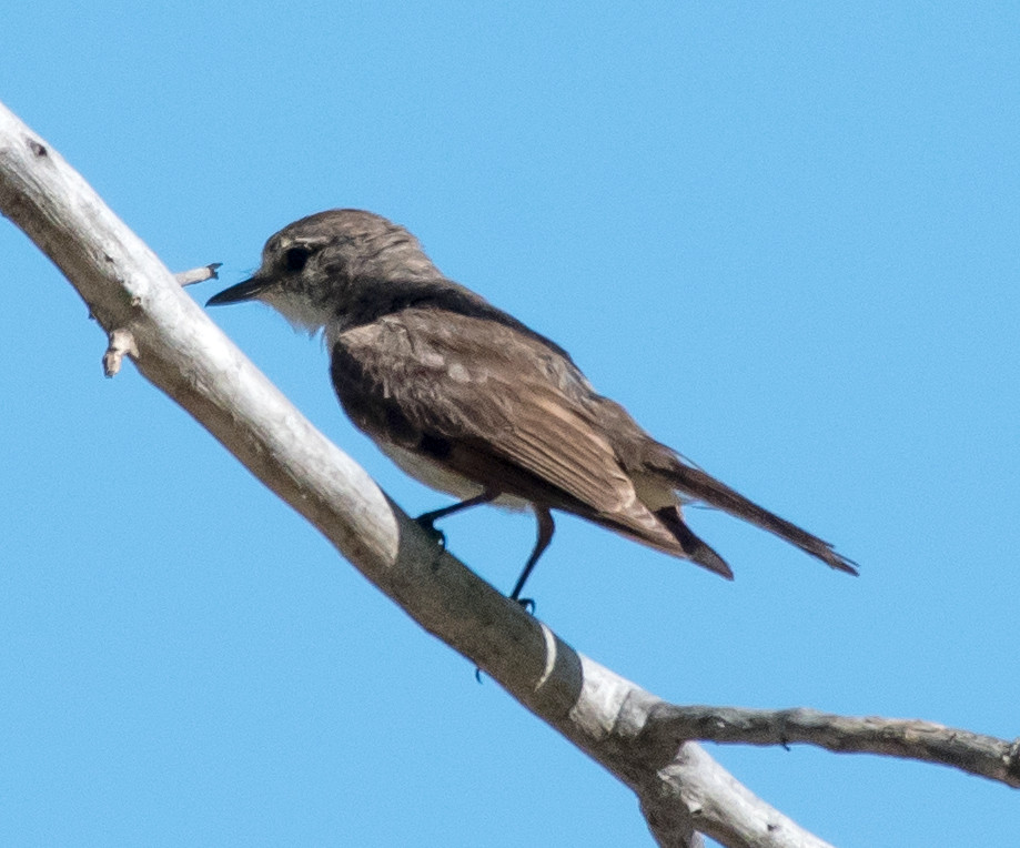
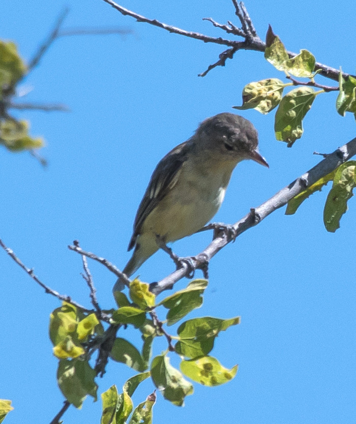
Wood-Pewee, Western # @Bosque del Apache NWR
Phoebe, Black 2 @Bosque del Apache NWR
raven sp. # @Luis Lopez: Farm-Market Road
Swallow, Barn # @Luis Lopez: Farm-Market Road
Mockingbird, Northern # @Luis Lopez: Farm-Market Road
Finch, House # @Bosque del Apache NWR
Sparrow, House # @Luis Lopez: Farm-Market Road
2016-08-13: NM: Socorro County
Notable: Common Gallinule
@BdA: Bosque del Apache NWR
@FMRd: Luis Lopez: Farm-Market Road
@SAnt: San Antonio area
@SocCo: Socorro County
Route
1120, San Antonio.
1145, Bosque del Apache NWR.
1445, Farm-Market Road northbound.
duck sp. # @Bosque del Apache NWR
Quail, Gambel's # @Bosque del Apache NWR
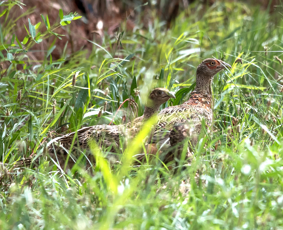
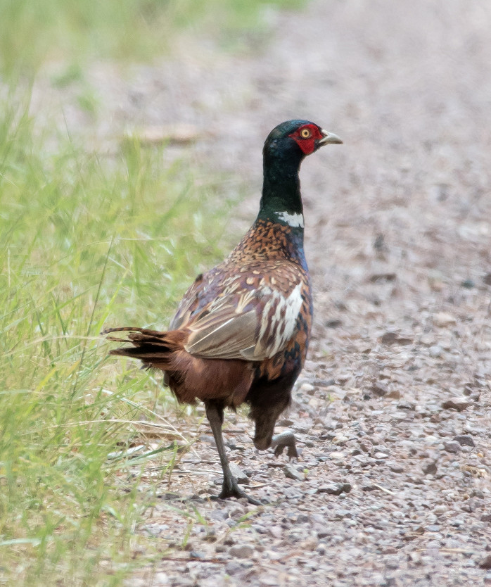
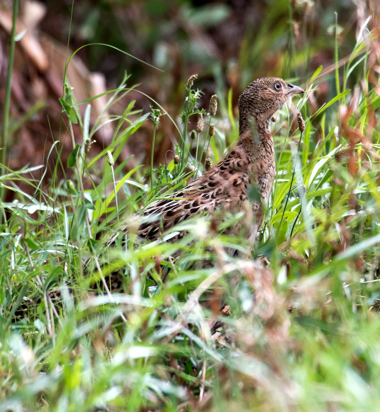
Pheasant, Ring-necked # @Bosque del Apache NWR
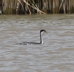
Grebe, Pied-billed # @Bosque del Apache NWR
Heron, Great Blue # @Bosque del Apache NWR
Coot, American # @Bosque del Apache NWR
Collared-Dove, Eurasian # @San Antonio area
Dove, White-winged # @San Antonio area
Wood-Pewee, Western # @Bosque del Apache NWR
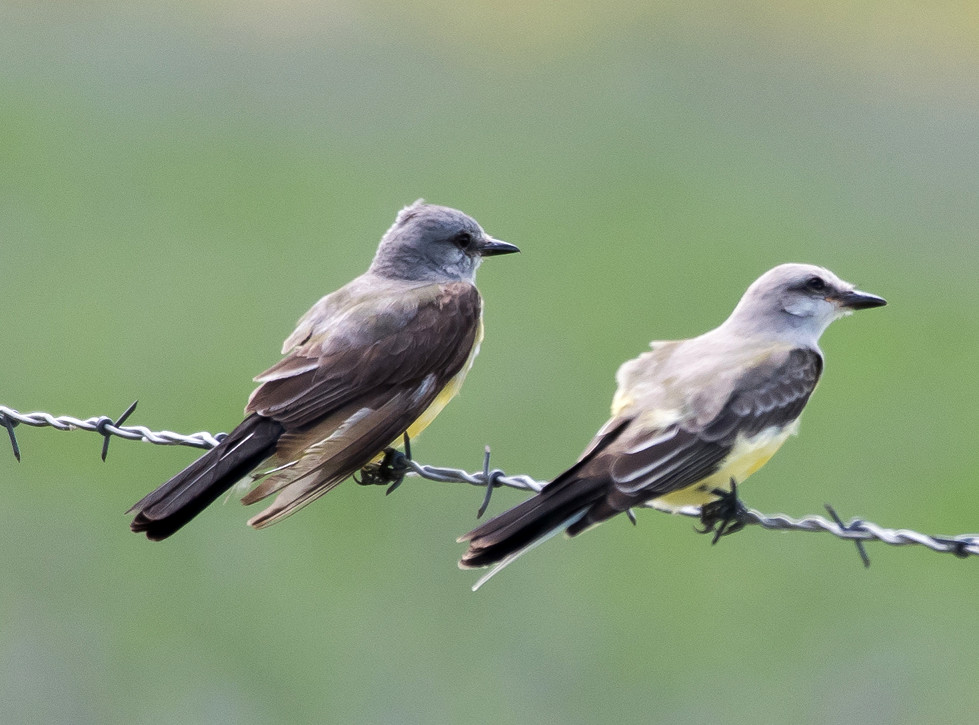
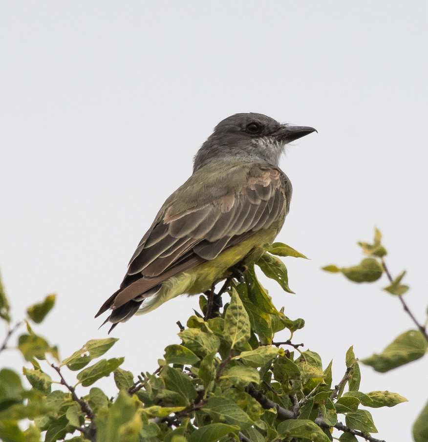
Kingbird, Western # @San Antonio area
raven sp. 1 @Bosque del Apache NWR
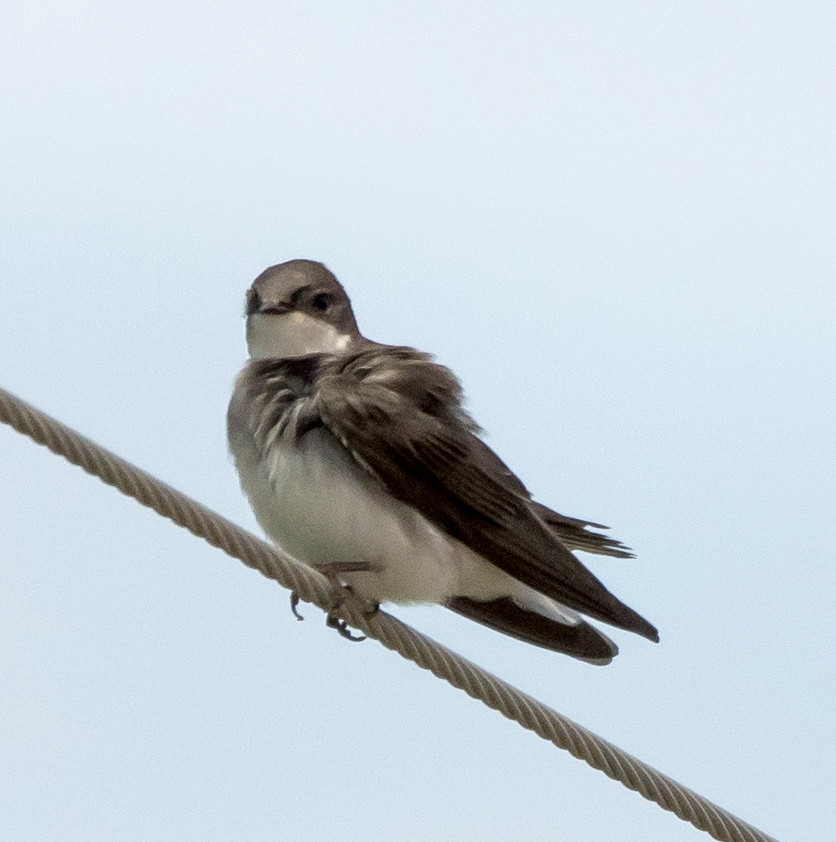
Swallow, Bank # @Bosque del Apache NWR
Swallow, Cliff # @Bosque del Apache NWR
Chat, Yellow-breasted 1 @Bosque del Apache NWR
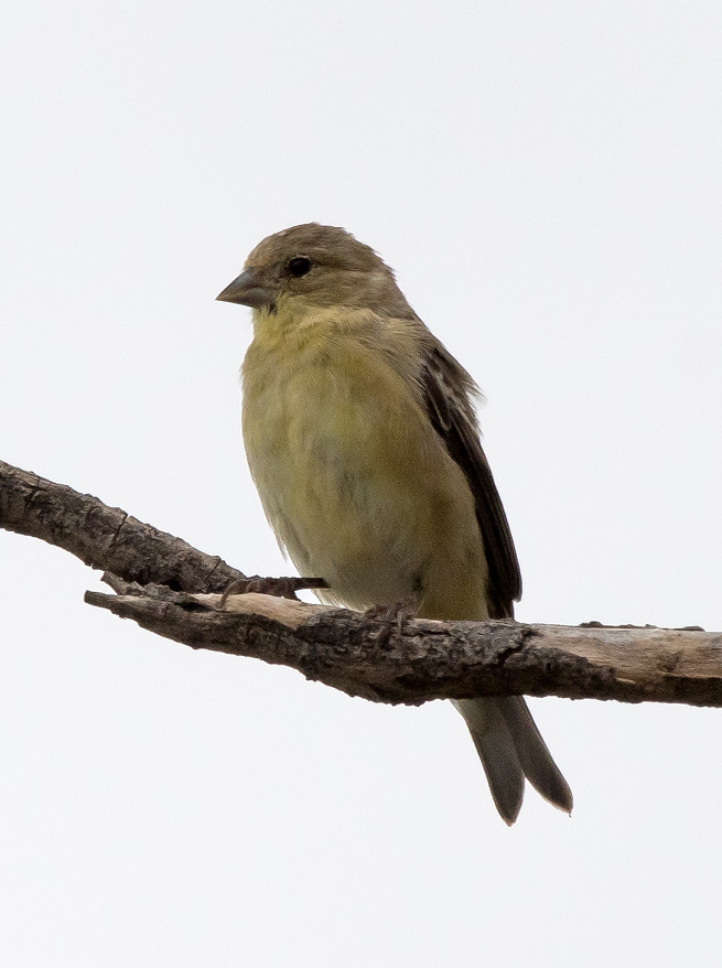
Goldfinch, Lesser 1 @Luis Lopez: Farm-Market Road
2016-08-18: NM: Socorro to Melrose Woods
Notable: Barn Owl; Red-headed Woodpecker
@Mel: Roosevelt Co.: Melrose Woods
@ROCO: Roosevelt Co.
@day: Socorro to Melrose Woods
@road01: Socorro Co.: Bernardo to Torrance Co.
@road02: Torrance Co.: Mountainair to Willard
@road03: US-60^E: Encino to Vaughn
@road04: US-60^E: Vaughn to De Baca Co.
@road05: US-60^E: De Baca Co. to Yeso
@road06: US-60^E: Yeso to Fort Sumner
Route
1330, leave Socorro.
1400, US-60^E.
1430, Torrance Co.
1440, Mountainair.
1455, Willard.
1530, Encino.
1545, Vaughn.
1610, DeBaca Co.
1630, Yeso.
1645, Fort Sumner.
1705, Taiban.
1710, Roosevelt Co.
1720, Melrose Woods.
1830, US-60^E.
1835, Curry Co.
Long-tailed Weasel roadkill east of Vaughn. Mexican
Ground Squirrels common in the ag areas south of Artesia.
Vulture, Turkey 1 @Torrance Co.: Mountainair to Willard
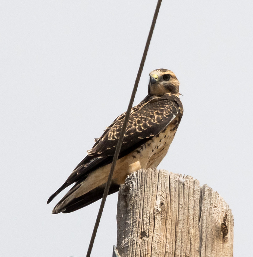
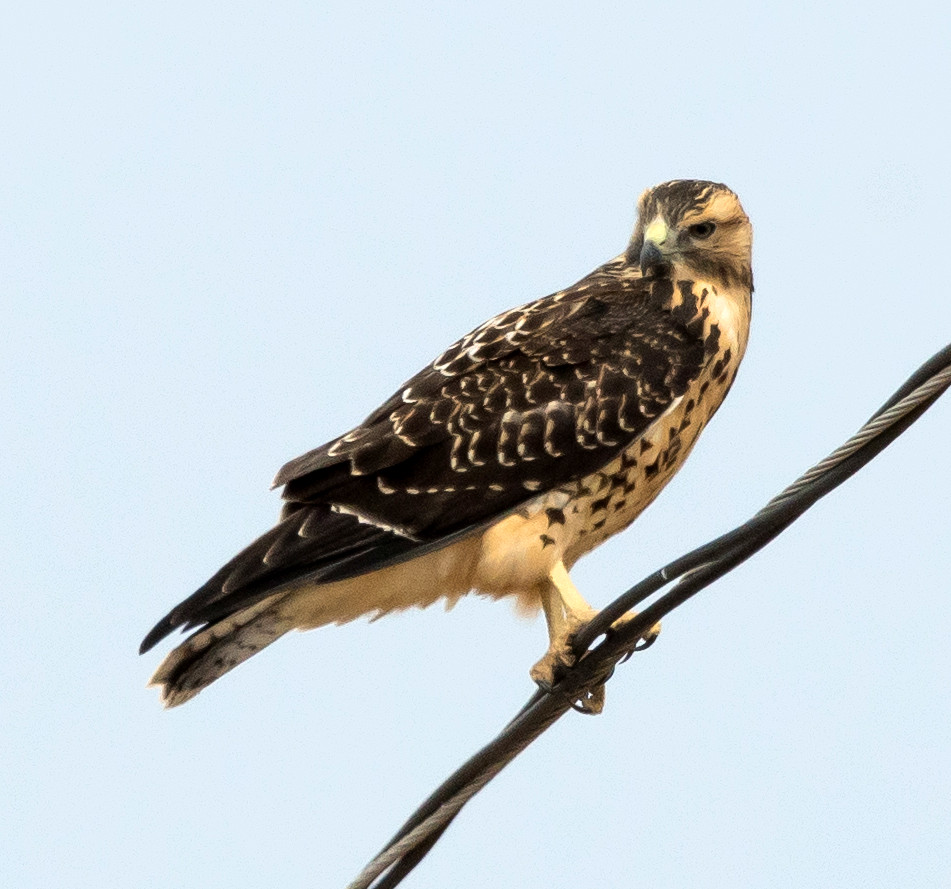
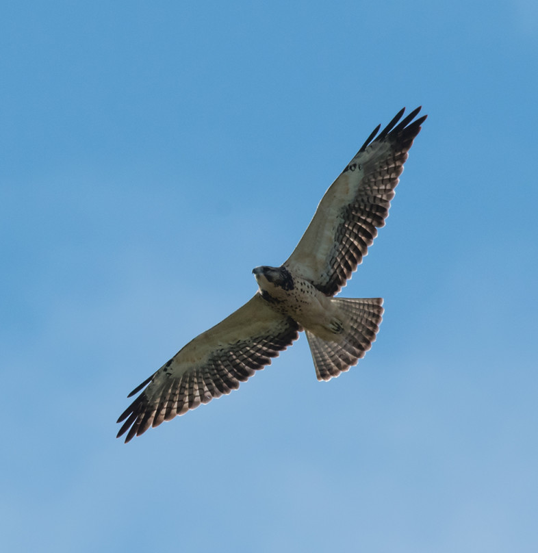
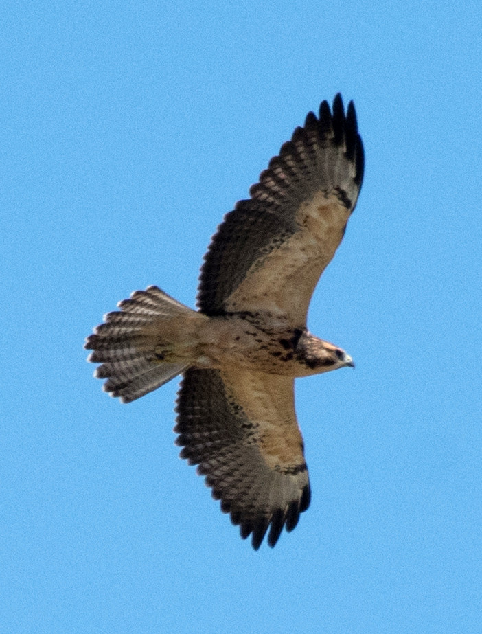
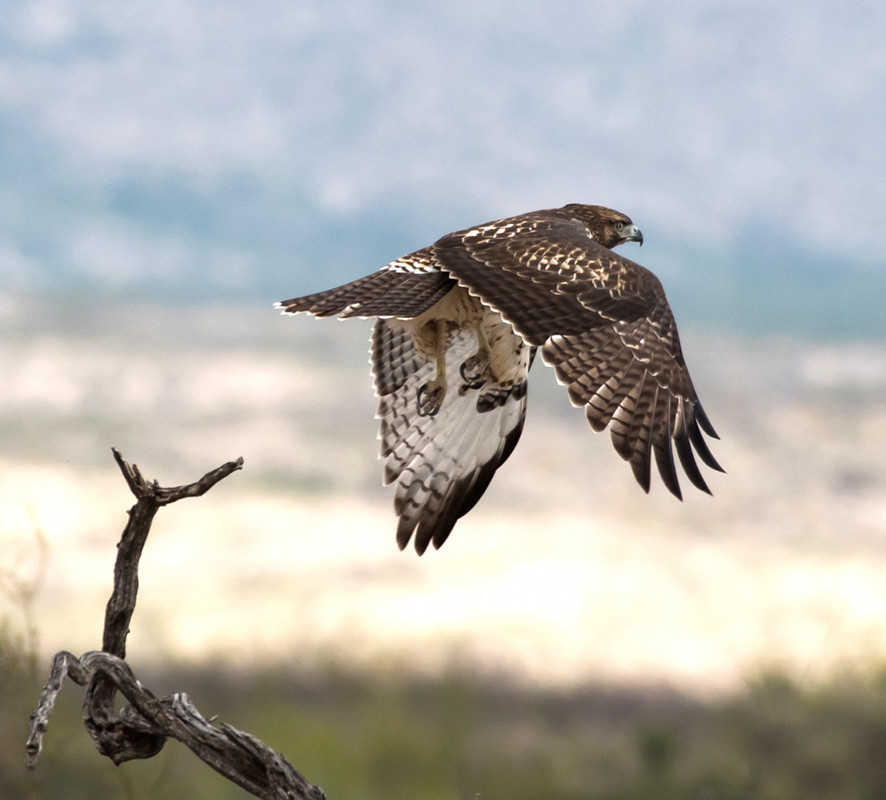
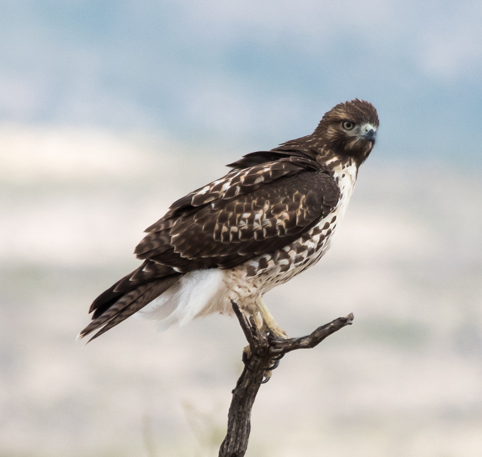
Hawk, Red-tailed # @US-60^E: Yeso to Fort Sumner
Wood-Pewee, Western # @Roosevelt Co.: Melrose Woods
Kingbird, Western # @Roosevelt Co.: Melrose Woods
Shrike, Loggerhead 1 @Torrance Co.: Mountainair to Willard
Swallow, Cliff 1 @US-60^E: Yeso to Fort Sumner
Swallow, Barn # @US-60^E: Vaughn to De Baca Co.
Mockingbird, Northern 1 @US-60^E: Vaughn to De Baca Co.
Starling, European # @Roosevelt Co.: Melrose Woods
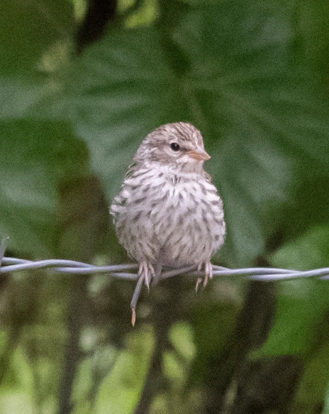
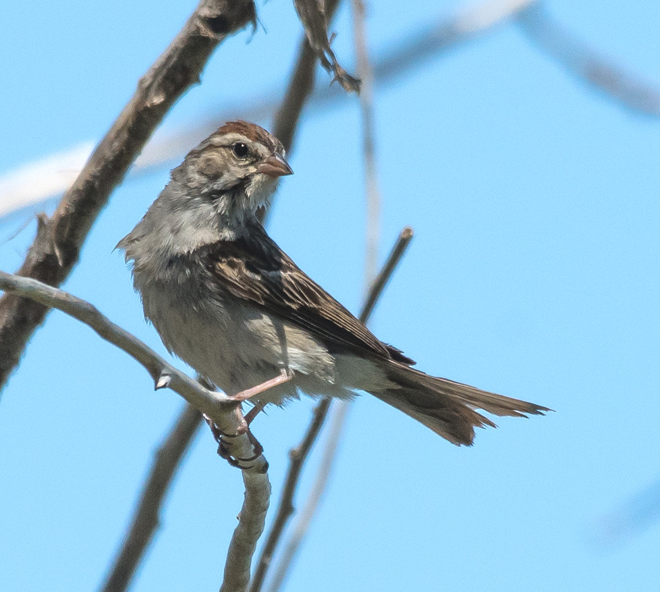
Sparrow, Lark 1 @Socorro Co.: Bernardo to Torrance Co.
2016-08-19: NM: Melrose Woods; Oasis SP; Bitter L. NWR; Cheapskate
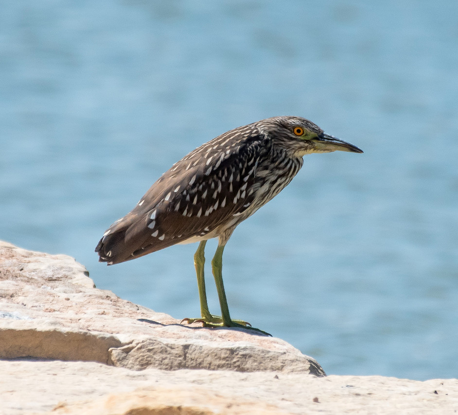
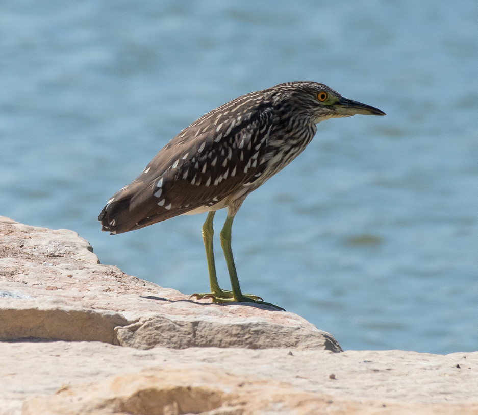
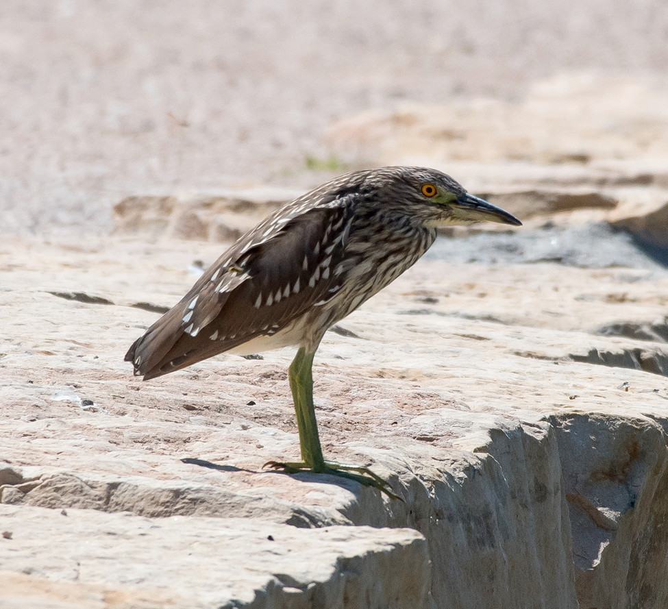
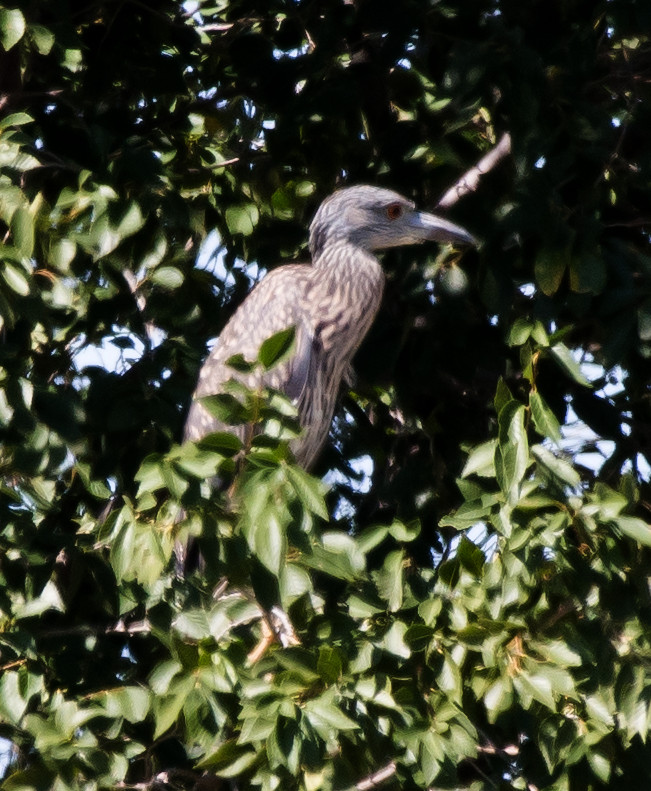
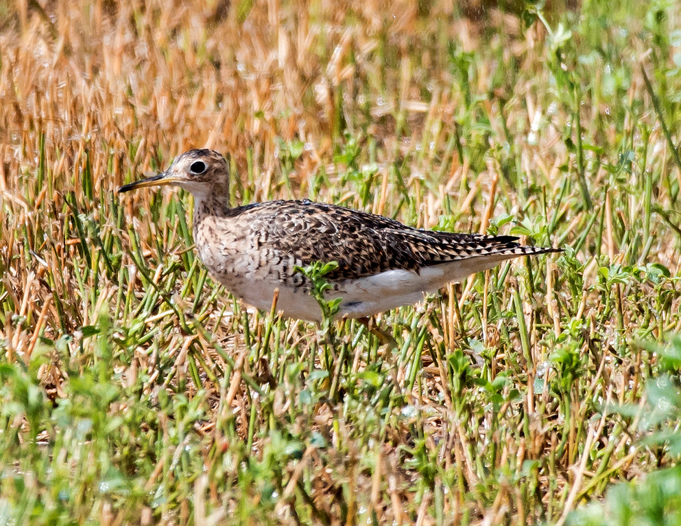
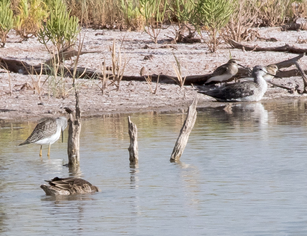
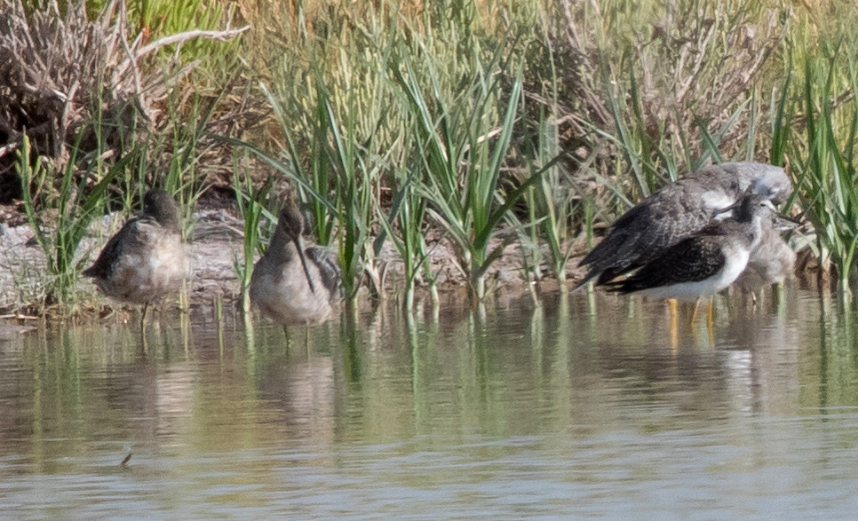
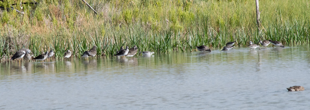
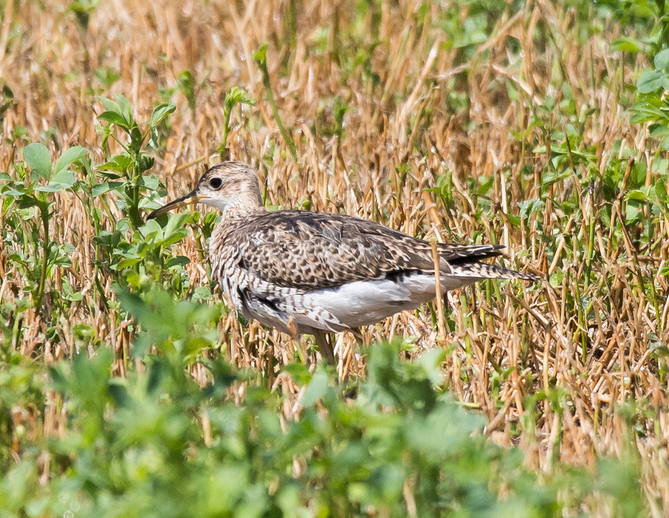
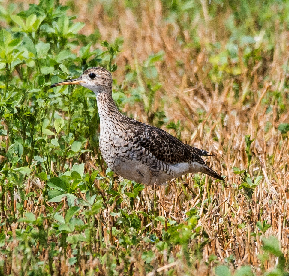
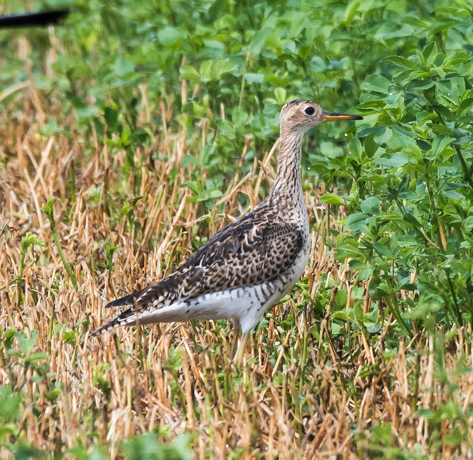
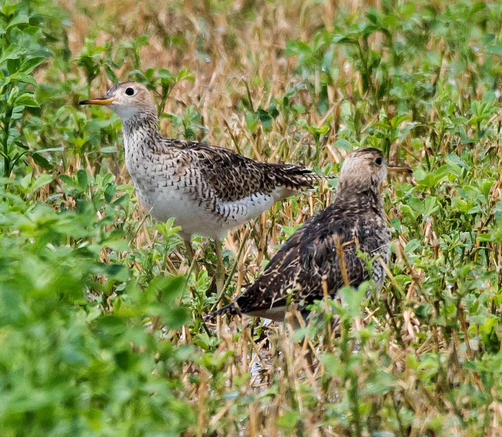
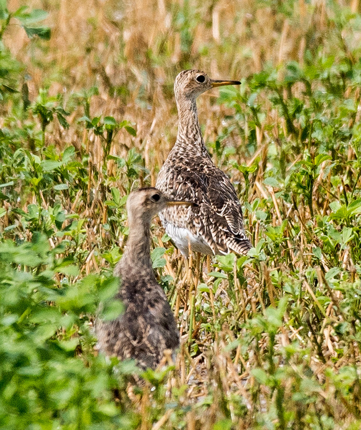
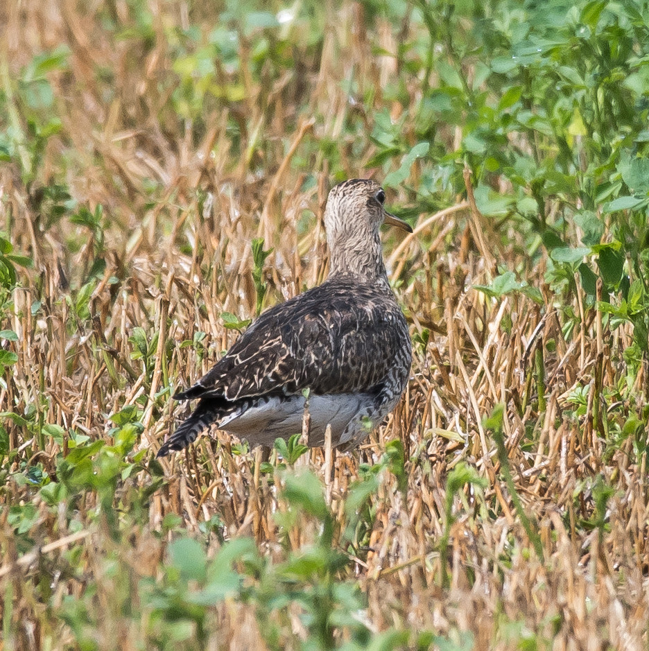
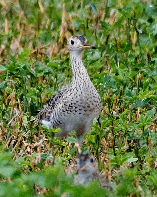
Notable: Yellow-crowned Night-Heron; Upland Sandpiper
@ArtAg: Artesia: fields E of US-285 between Atoka and Four Dinkus
@BLNWR: Bitter Lake NWR
@Cheap: Brantley Lake: Champion Cove Road
@Mel: Roosevelt Co.: Melrose Woods
@Oasis: Oasis SP
@ROCO: Roosevelt Co.
@day: Melrose Woods; Oasis SP; Bitter L. NWR; Cheapskate
@road01: Curry Co.: Clovis to Roosevelt Co.
@road02: Curry Co.: NM-467^S to Roosevelt Co.
@road03: Roosevelt Co.: US-70^W to Chaves Co.
@road04: Chaves Co.: US-70^W from Roosevelt Co. to Roswell
@road05: Chaves Co.: US-285^S to Eddy Co.
@road06: Eddy Co.: US-285
Route
0635, US-60^W from Clovis.
0710, Roosevelt Co.
0715, Melrose Woods.
0855, US-60^E.
0940, NM-467^S.
1005, Oasis S.P.
1115, NM-467^S.
1120, US-70^W.
1200, Chaves Co.
1230, Old Clovis Highway in Roswell.
1245, Bitter Lake NWR.
1335, Roswell.
1400, US-285^S
1440, ag areas south of Artesia.
1545, US-285^S.
1600, Champion Cove Road.
1615, southbound.
teal sp. # @Bitter Lake NWR
Mallard 1 @Bitter Lake NWR
Quail, Scaled # @Roosevelt Co.: Melrose Woods
Egret, Snowy # @Bitter Lake NWR
Heron, Green 1 @Bitter Lake NWR
Ibis, White-faced # @Bitter Lake NWR
Vulture, Turkey 1 @Chaves Co.: US-70^W from Roosevelt Co. to Roswell
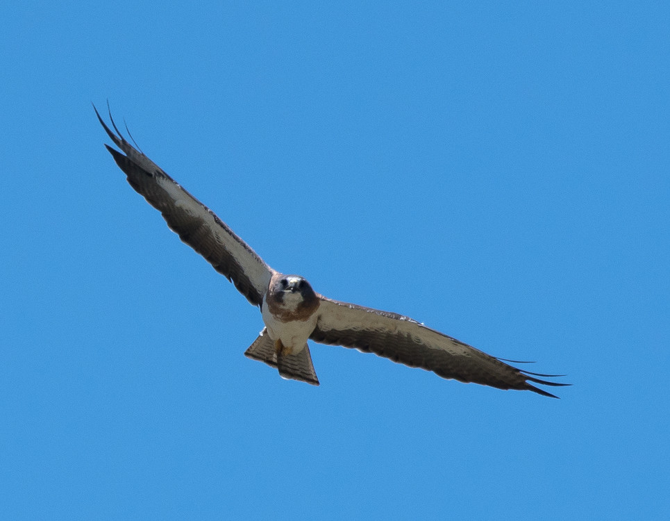
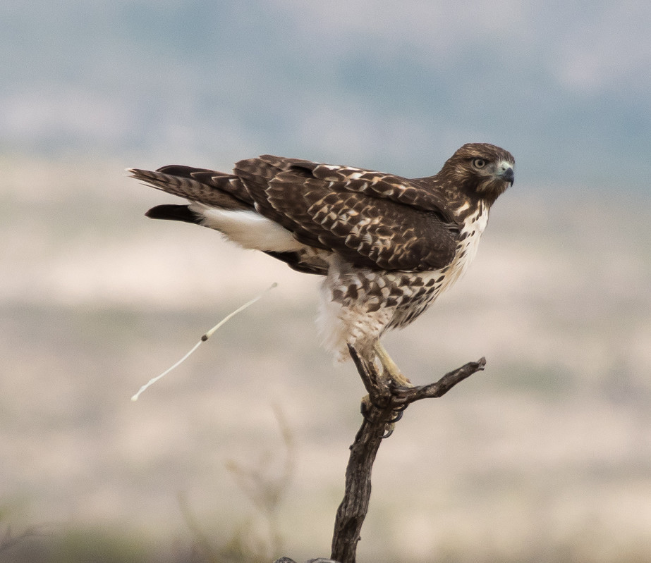
Hawk, Red-tailed 1 @Curry Co.: NM-467^S to Roosevelt Co.
Coot, American # @Bitter Lake NWR
Killdeer # @Artesia: fields E of US-285 between Atoka and Four Dinkus
Stilt, Black-necked # @Bitter Lake NWR
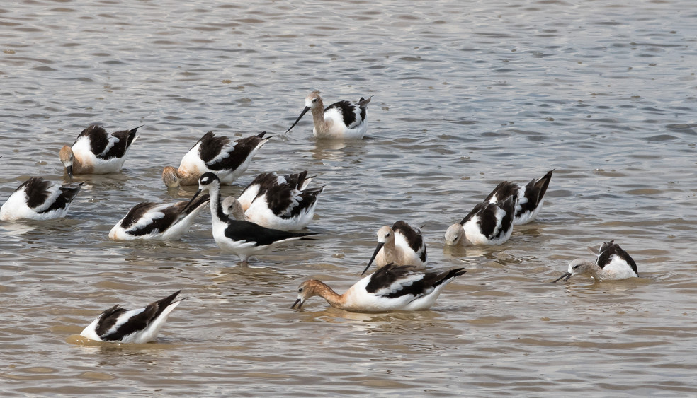
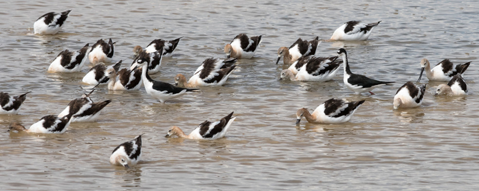
Avocet, American # @Bitter Lake NWR
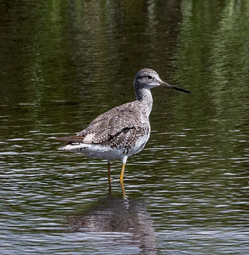
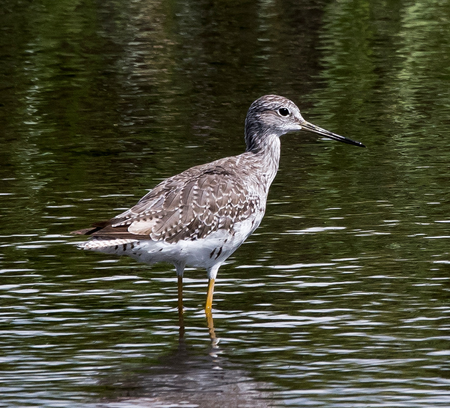
Yellowlegs, Greater 1 @Bitter Lake NWR
Pigeon, Rock # @Curry Co.: Clovis to Roosevelt Co.
Dove, White-winged # @Roosevelt Co.
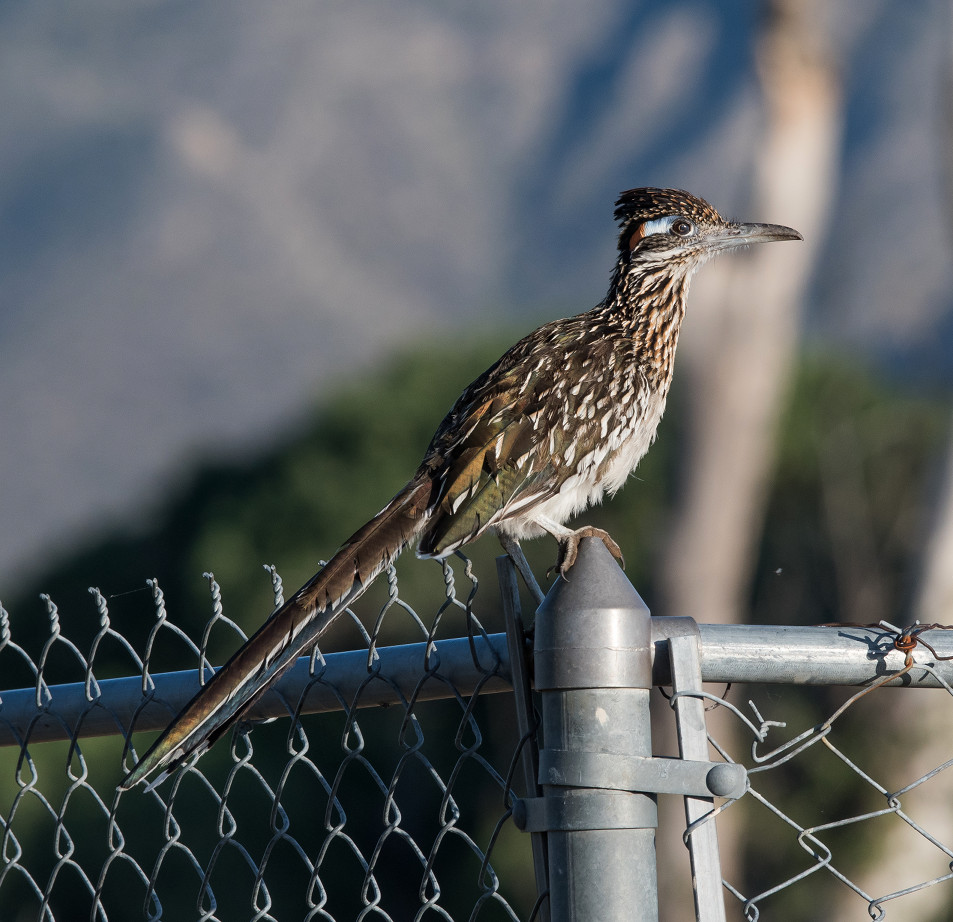
Roadrunner, Greater 1 @Artesia: fields E of US-285 between Atoka and Four Dinkus
Phoebe, Say's 1 @Oasis SP
Oriole, Bullock's 1 @Roosevelt Co.: Melrose Woods
Finch, House 1 @Oasis SP
Sparrow, House # @Curry Co.: NM-467^S to Roosevelt Co.
2016-08-20: NM: Rattlesnake Springs; Cheapskate; Bitter L. NWR
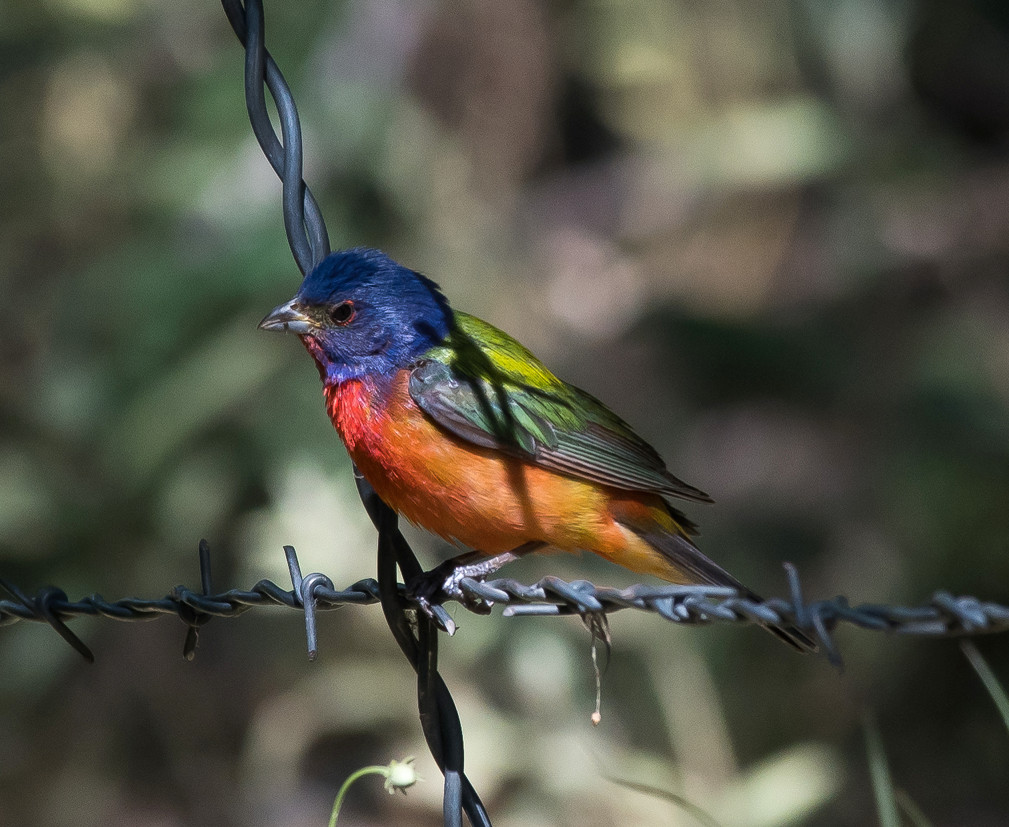
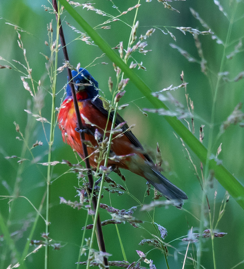
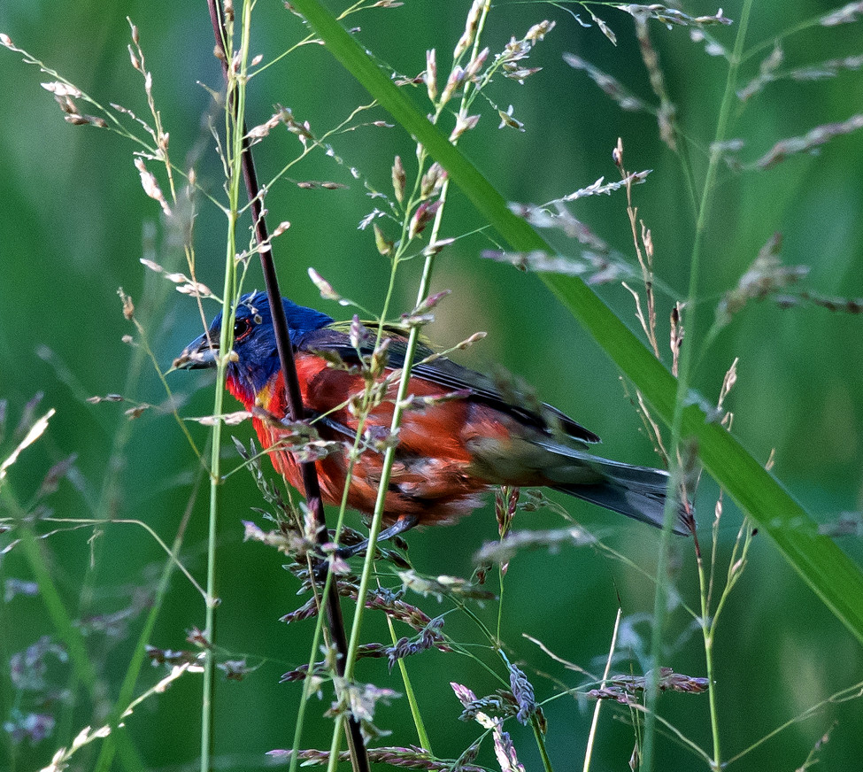
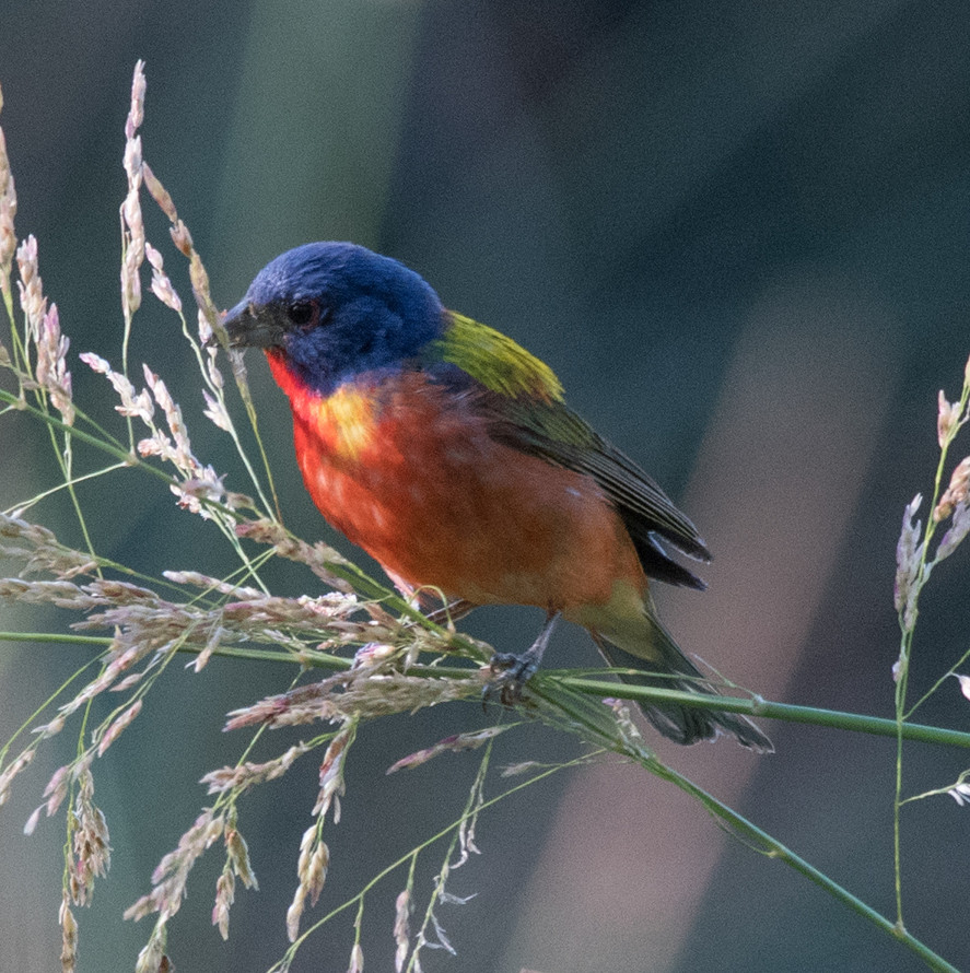
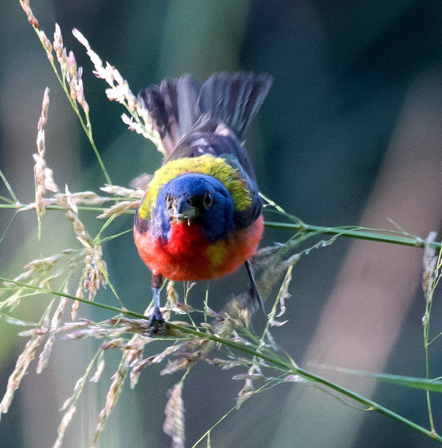
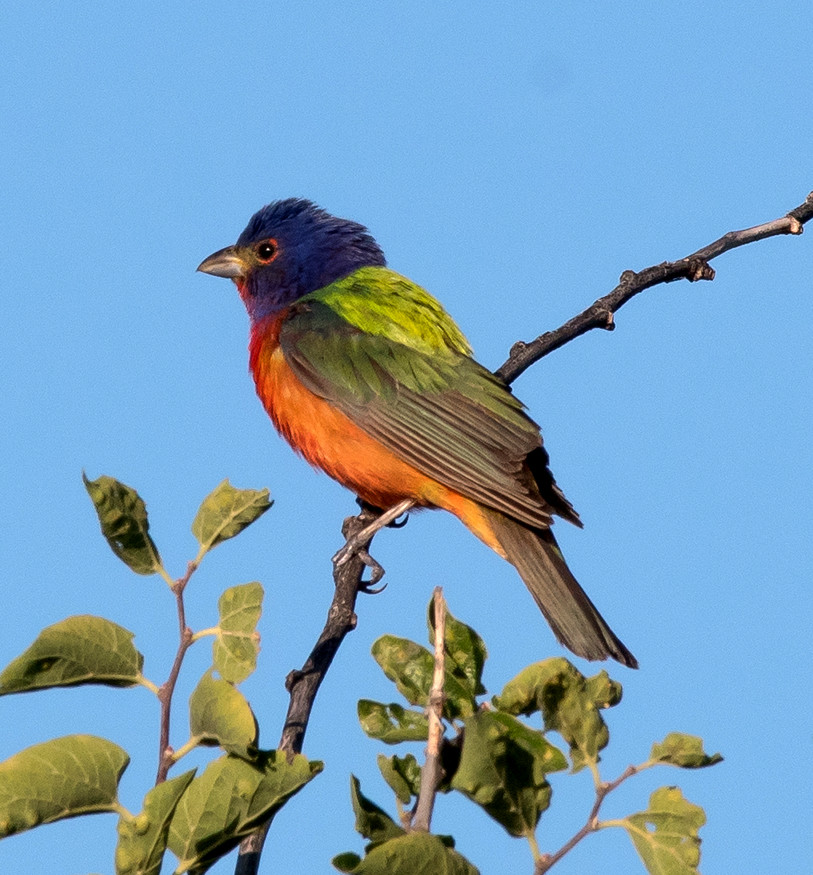
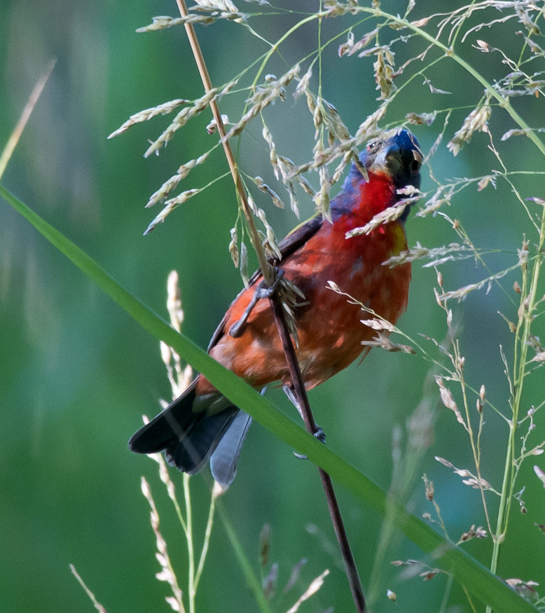
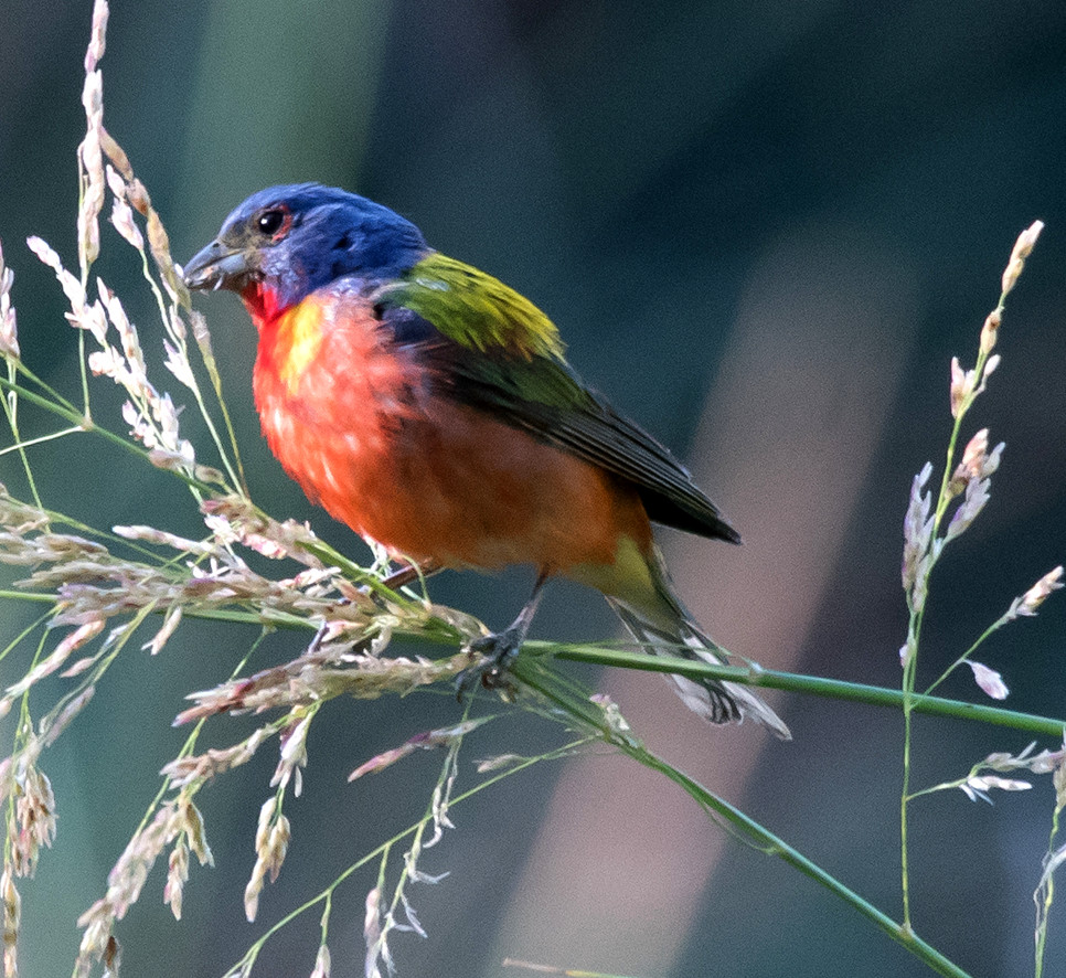
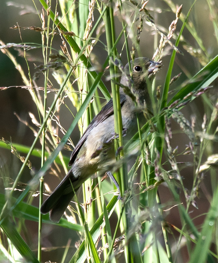
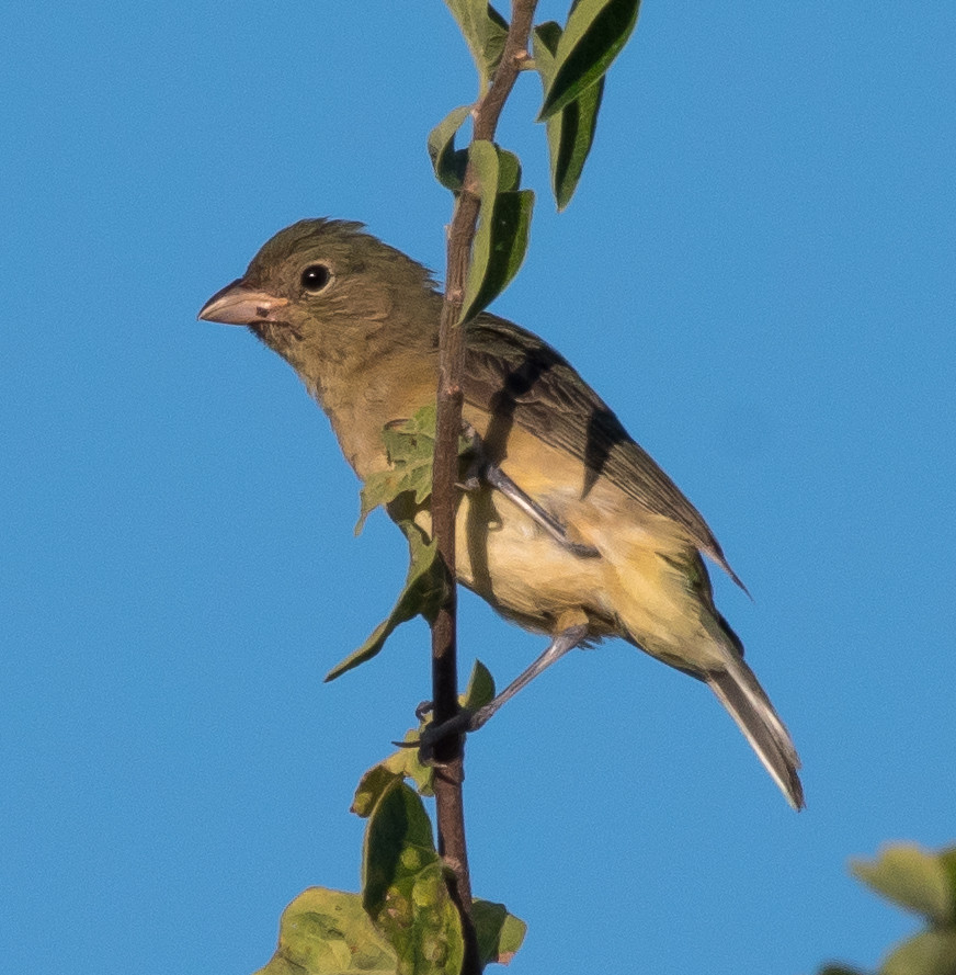
Notable: Gray Hawk; Olive-sided Flycatcher; Painted Bunting; Orchard Oriole
@ArtAg: Artesia: fields E of US-285 between Atoka and Four Dinkus
@BLNWR: Bitter Lake NWR
@Cap: Capitan
@Cheap: Brantley Lake: Champion Cove Road
@RS: Rattlesnake Springs
@Wash: Washington Ranch
@WashRd: Washington Ranch Road
@day: Rattlesnake Springs; Cheapskate; Bitter L. NWR
@road01: US-62-180^W: Carlsbad to Washington Ranch Road
@road02: US-285^N: Brantley Lake to Artesia area
@road03: Chaves Co.: US-285^N, Eddy Co. to Roswell
@road04: Roswell area
Route
0830, US-62-180^W from Carlsbad.
0905, Washington Ranch Road,then Rattlesnake Springs
on foot from the west gate to the Piratic Flycatcher Spot and
back.
1115, drive to the pond at Rattlesnake Springs.
1140, walk around the pond.
1205, rolling out.
1220, Washington Ranch.
1230, Washington Ranch Road out.
1240, US-62-180^E.
1410, US-285^N from Carlsbad.
1425, Champion Cove Road: way too many hominids.
1435, US-285^N.
1445, ag areas south of Artesia.
1530, US-285^N.
1550, Chaves Co.
1615, US-380^E to Bitter L. NWR.
1630, Bitter L. NWR.
1655, afoot at the Oxbow.
1715, rolling on the loop.
1730, Roswell area.
1755, US-70-380^W.
1815, Riverside.
1835, US-380^W.
Grebe, Pied-billed 1 @Bitter Lake NWR
Egret, Snowy # @Bitter Lake NWR
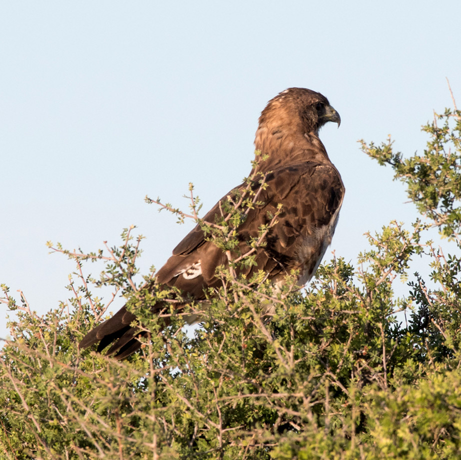
Harrier, Northern 1 @Bitter Lake NWR
Stilt, Black-necked # @Bitter Lake NWR
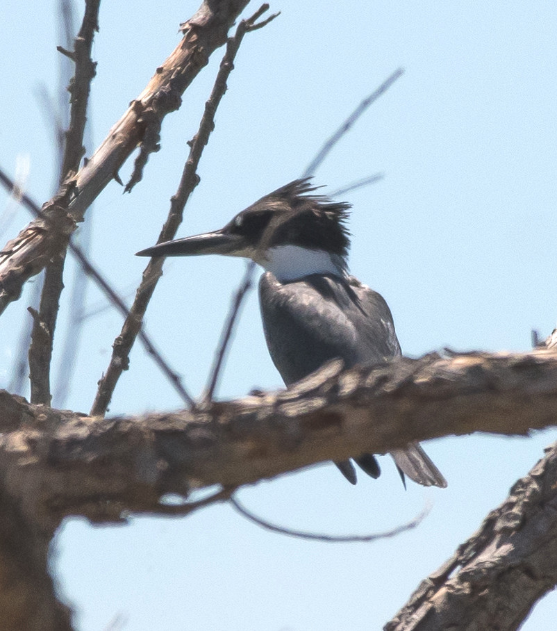
Kingfisher, Belted 1 @Rattlesnake Springs
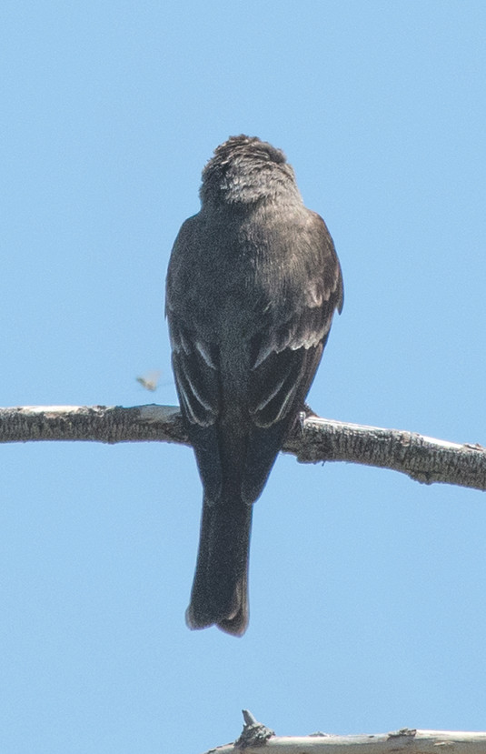
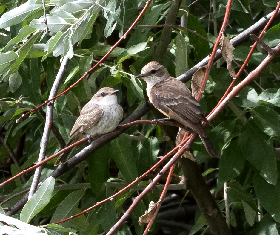
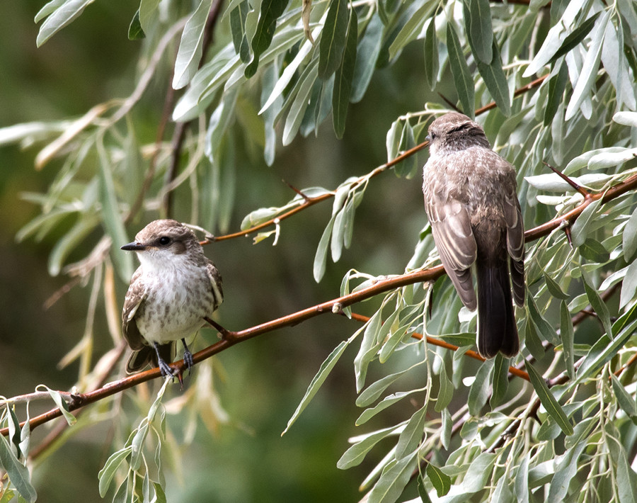
Flycatcher, Ash-throated 1 @Rattlesnake Springs
Kingbird, Western # @Roswell area
Raven, Common 1 @Roswell area
Warbler, Wilson's # @Rattlesnake Springs
Chat, Yellow-breasted 1 @Rattlesnake Springs
Sparrow, Lark # @Washington Ranch
2016-08-25: NM: Socorro County
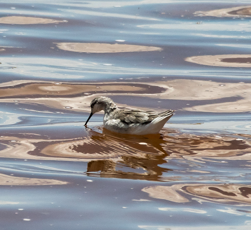
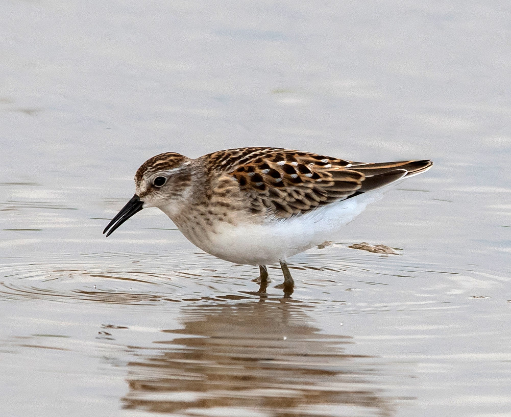
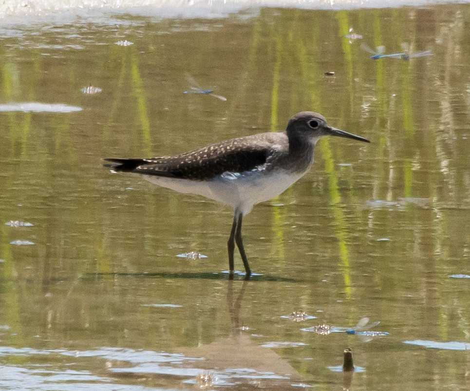
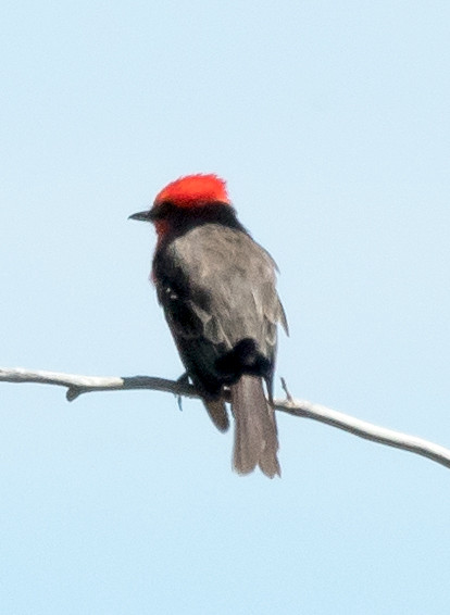
Notable: Sora; Solitary Sandpiper; Baird's Sandpiper; Vermilion Flycatcher
@BdA: Bosque del Apache NWR
@FMRd: Luis Lopez: Farm-Market Road
@SocCo: Socorro County
Route
1100, leave Socorro.
1110, Luis Lopez, Farm-Market Road.
1200, Bosque del Apache NWR.
Heron, Great Blue # @Bosque del Apache NWR
Egret, Great 1 @Bosque del Apache NWR
Hawk, Sharp-shinned 1 @Bosque del Apache NWR
Coot, American # @Bosque del Apache NWR
Yellowlegs, Greater 1 @Bosque del Apache NWR
Dove, Mourning # @Luis Lopez: Farm-Market Road
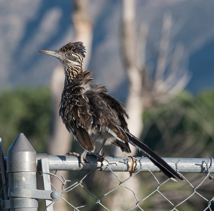
Roadrunner, Greater # @Bosque del Apache NWR
Phoebe, Black # @Bosque del Apache NWR
Kingbird, Western # @Luis Lopez: Farm-Market Road
Swallow, Tree # @Bosque del Apache NWR
Swallow, Northern Rough-winged # @Bosque del Apache NWR
Swallow, Cliff # @Bosque del Apache NWR
Warbler, Wilson's # @Bosque del Apache NWR
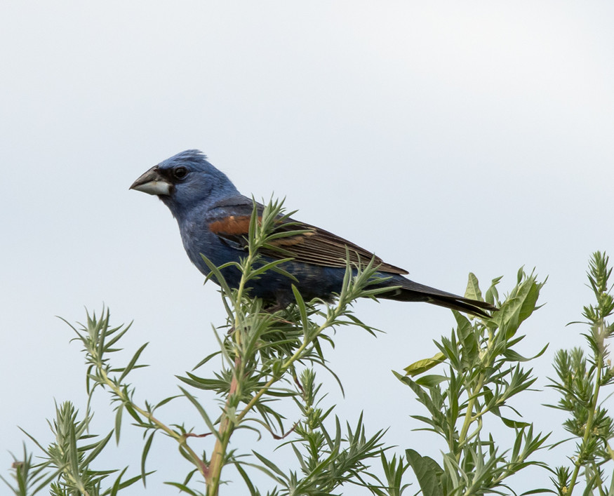
Grosbeak, Blue 1 @Bosque del Apache NWR
Finch, House # @Luis Lopez: Farm-Market Road
2016-08-28: NM: Socorro: 507 Fitch
@home: Socorro: 507 Fitch
Kingbird, Cassin's 1 @Socorro: 507 Fitch