How to read Shipman's field notes
2013-10-09: NM: Socorro County
@Bern: Bernardo WMA
@SocCo: Socorro County
@road01: I-25, Socorro to Bernardo WMA
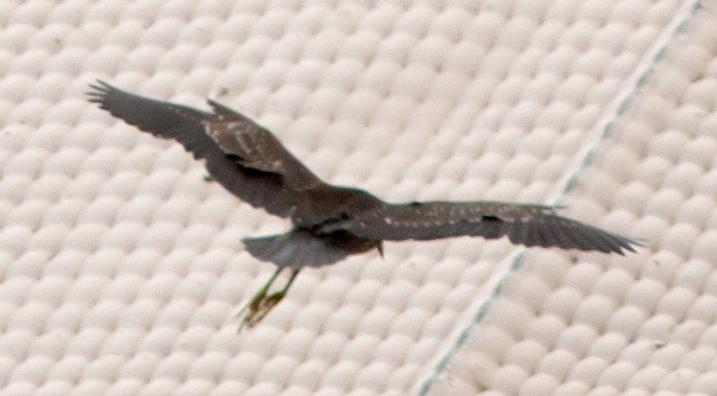
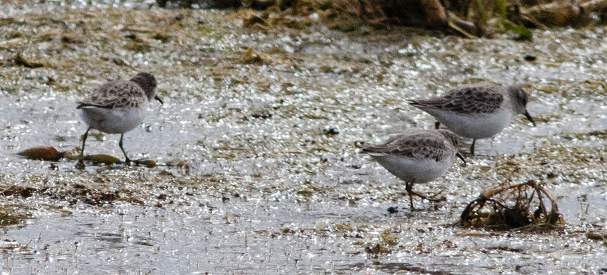
Heron, Great Blue 1 @Bernardo WMA
Vulture, Turkey 1 @Bernardo WMA
Harrier, Northern 1ϕ @Bernardo WMA
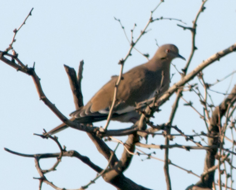
Dove, Mourning 1 @Bernardo WMA
Flicker, Red-shafted 1 @Bernardo WMA
Crow, American 2 @Bernardo WMA
Swallow, Barn 1 @Bernardo WMA
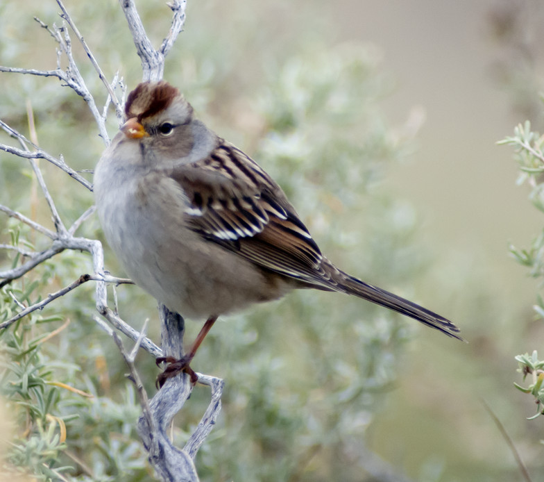
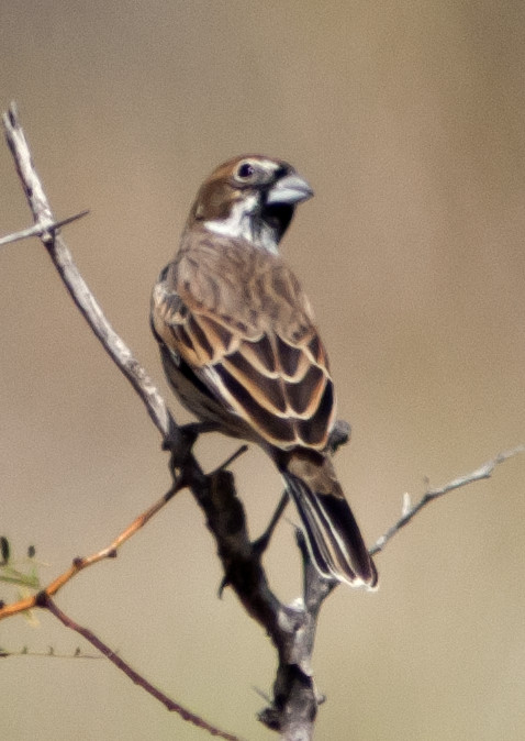
Sparrow, White-crowned # @Bernardo WMA
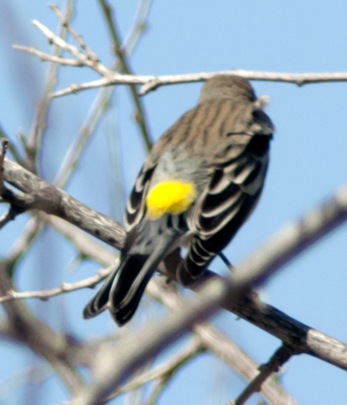
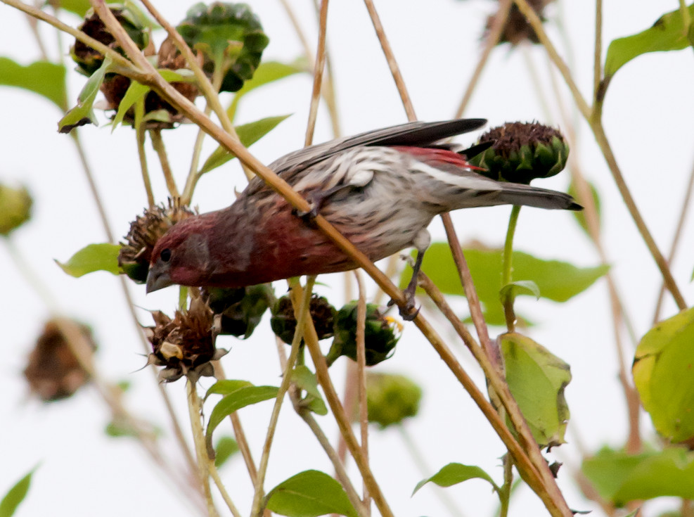
Goldfinch, Lesser # @Bernardo WMA
2013-10-15: NM: Socorro to Clovis
@NMT: Socorro: New Mexico Tech
@day: Socorro to Clovis
@road01: Mountainair to Willard
@road02: Willard to Encino
@road03: US-60^E, Vaughn to De Baca County line
@road04: US-60^E, De Baca County line to Yeso
@road05: US-60^E, Yeso to Fort Sumner
Buteo sp. 1 @US-60^E, Yeso to Fort Sumner
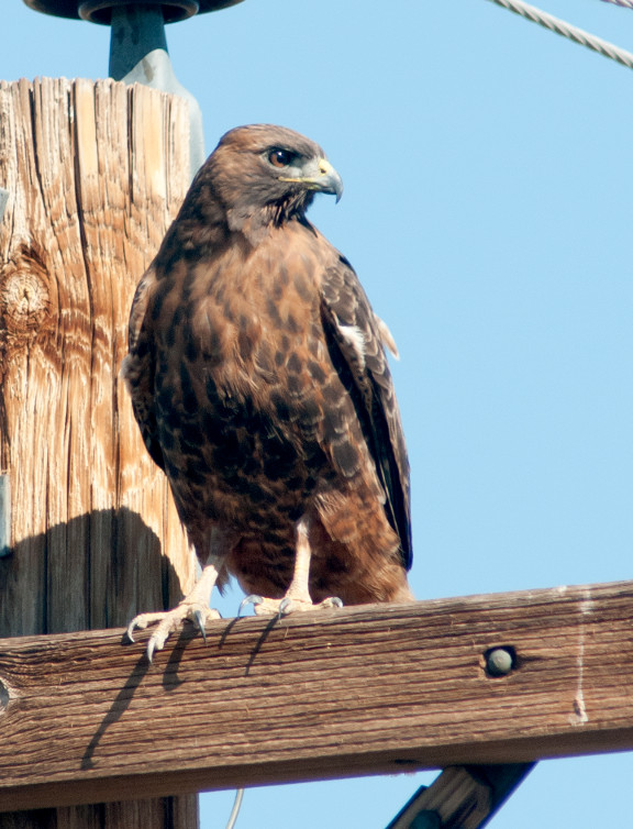
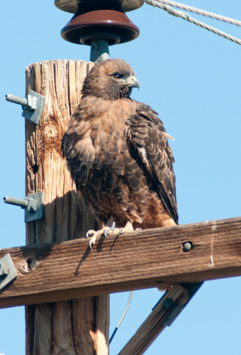
Hawk, Red-tailed 1 @US-60^E, De Baca County line to Yeso
2013-10-16: NM: Melrose Woods to Hobbs
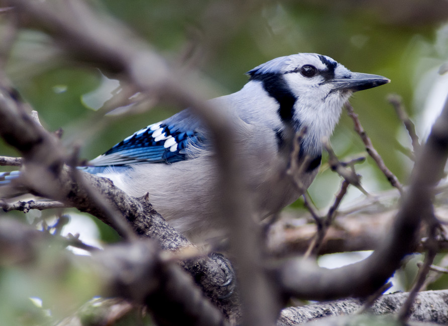
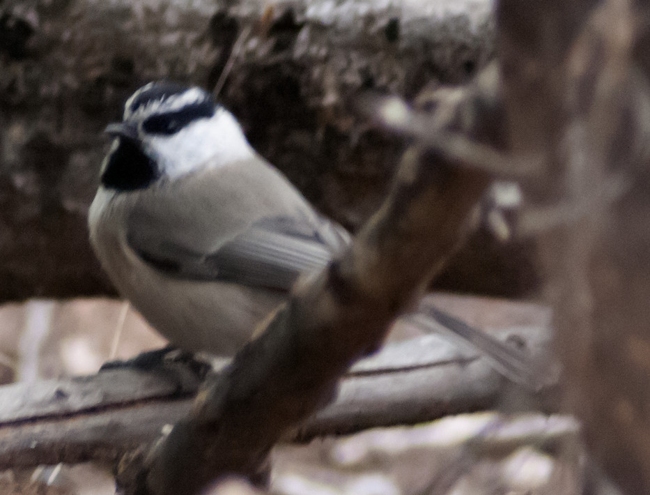
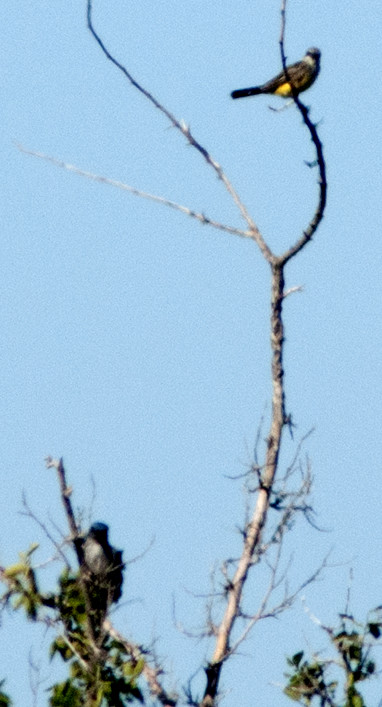
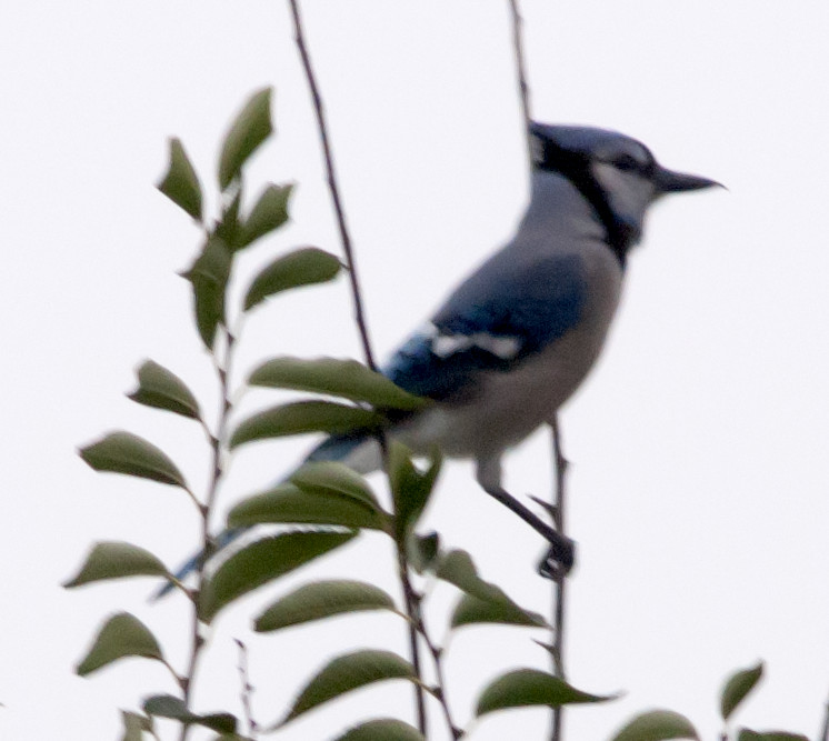
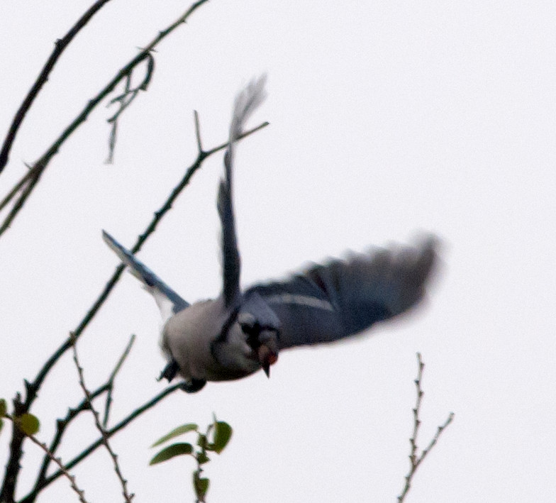
Notable: Osprey; Eastern Phoebe; Blue Jay; Mountain Chickadee; American Redstart
@CV: Clovis
@CWWTP: Clovis Waste Water Treatment Plant
@Chap: Lovington: Chaparral Park
@EC: Elida area
@Hob: Hobbs
@Lov: Lovington
@Mel: Roosevelt Co.: Melrose Woods
Gate is 9.3 miles west of the town of Melrose.
@Oco: Hobbs: Ocotillo Park
@day: Melrose Woods to Hobbs
@road01: US-60^W, Clovis to Melrose Woods
@road02: Portales-Elida
@road03: Pep to Milnesand
@road04: Milnesand to Lea County line
@road05: Tatum to McDonald
@road06: McDonald to Lovington
@road07: Lovington to Ocotillo Park
Tried to bird the Tatum sewage ponds but their hours are
1300-1600 Tue/Thu and 0800-1600 Saturday. Also, the
large low spot two miles north of Tatum has already dried
out since the big rains last month. For future
reference, the sewage ponds are at the corner of Second,
which runs east-west, and Odell, which runs north-south.
Also, Lovington has a new wind farm.
Wigeon, American # @Clovis Waste Water Treatment Plant
Mallard # @Clovis Waste Water Treatment Plant
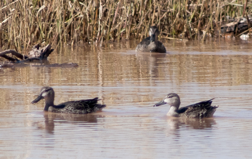
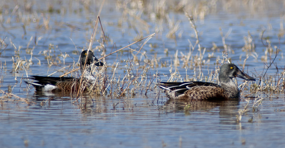
Shoveler, Northern # @Clovis Waste Water Treatment Plant
Pintail, Northern # @Clovis Waste Water Treatment Plant
Vulture, Turkey 1 @Hobbs: Ocotillo Park
Harrier, Northern 1 @Milnesand to Lea County line
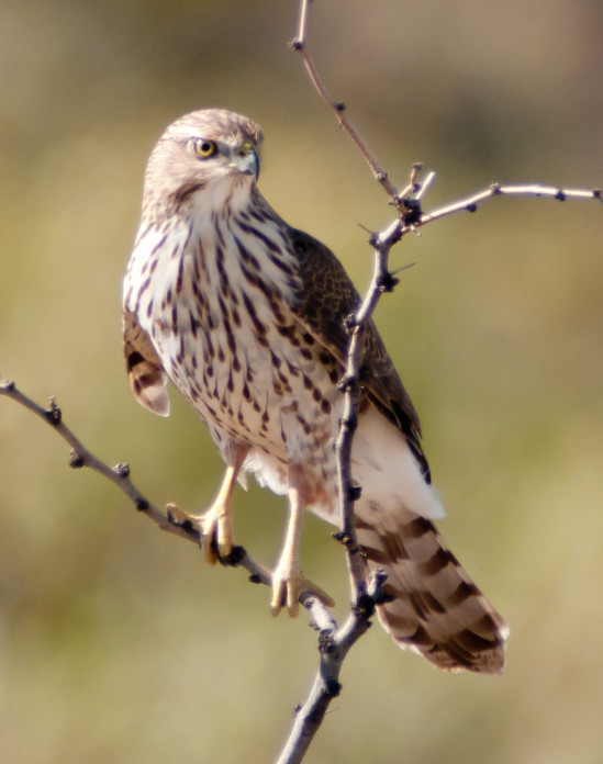
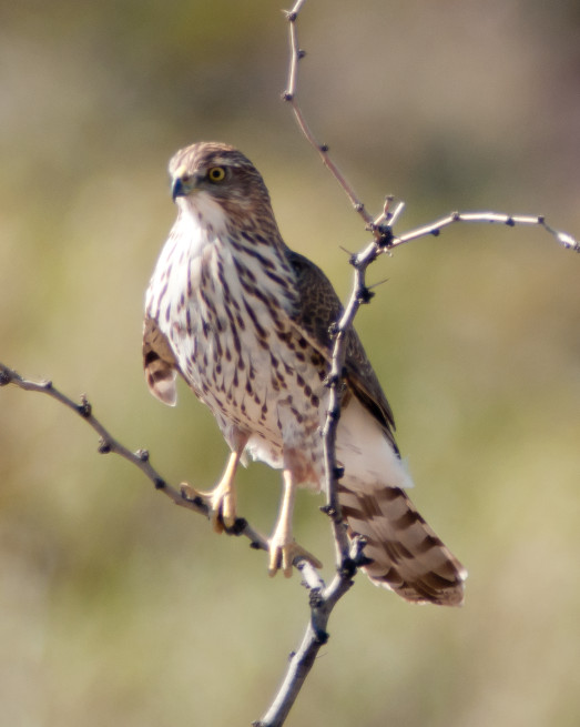
Hawk, Sharp-shinned 1 @Roosevelt Co.: Melrose Woods
Dove, Rock # @Hobbs
Flicker, Red-shafted # @Hobbs: Ocotillo Park
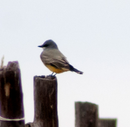
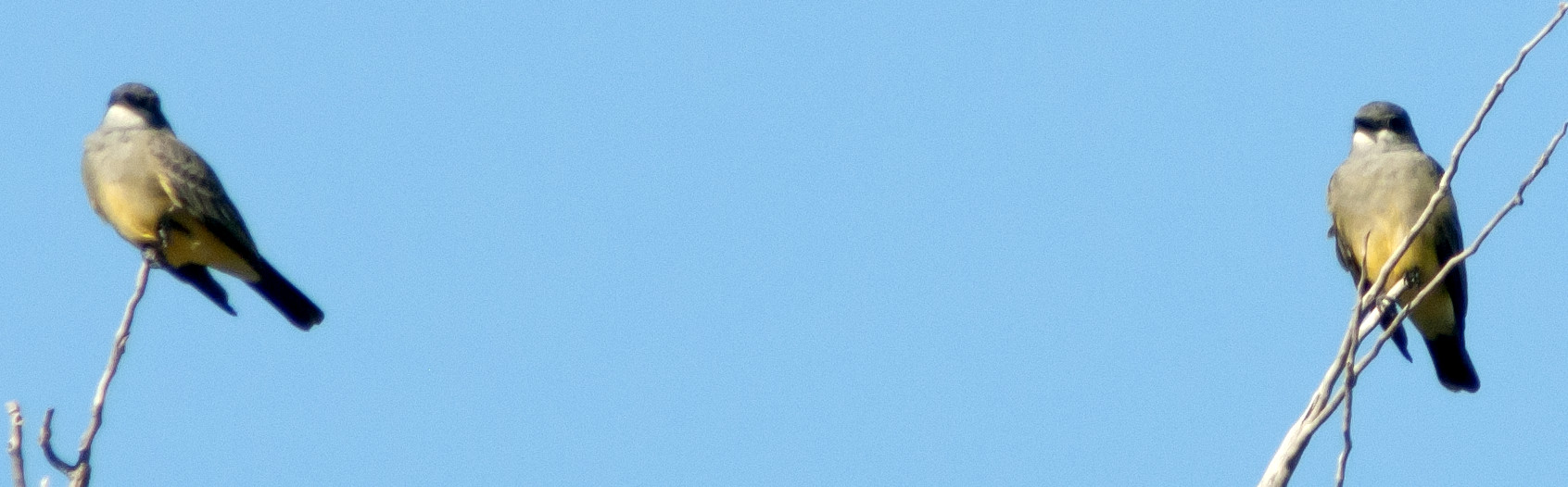
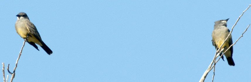
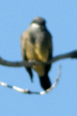
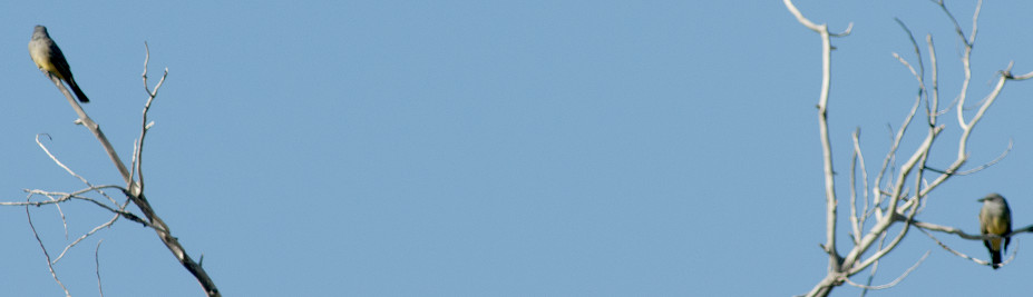
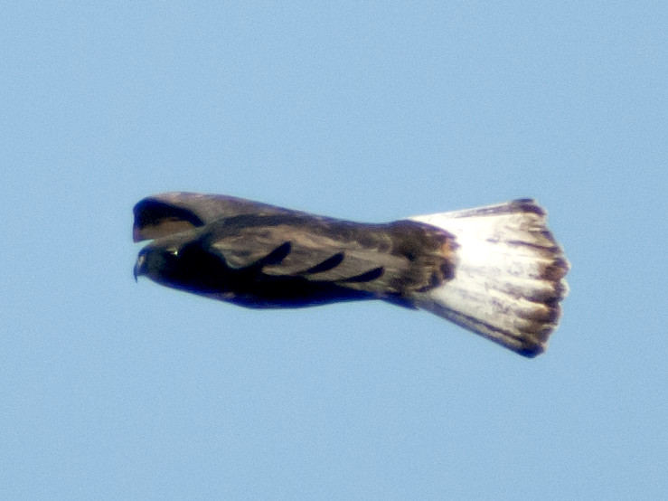
Flycatcher, Scissor-tailed 1 @McDonald to Lovington
Shrike, Loggerhead 1 @Elida area
Kinglet, Ruby-crowned @Roosevelt Co.: Melrose Woods
Solitaire, Townsend's # @Hobbs: Ocotillo Park
Thrush, Hermit 1 @Roosevelt Co.: Melrose Woods
Starling, European # @Roosevelt Co.: Melrose Woods
Redstart, American 1♀ @Roosevelt Co.: Melrose Woods
Towhee, Spotted 1 @Roosevelt Co.: Melrose Woods
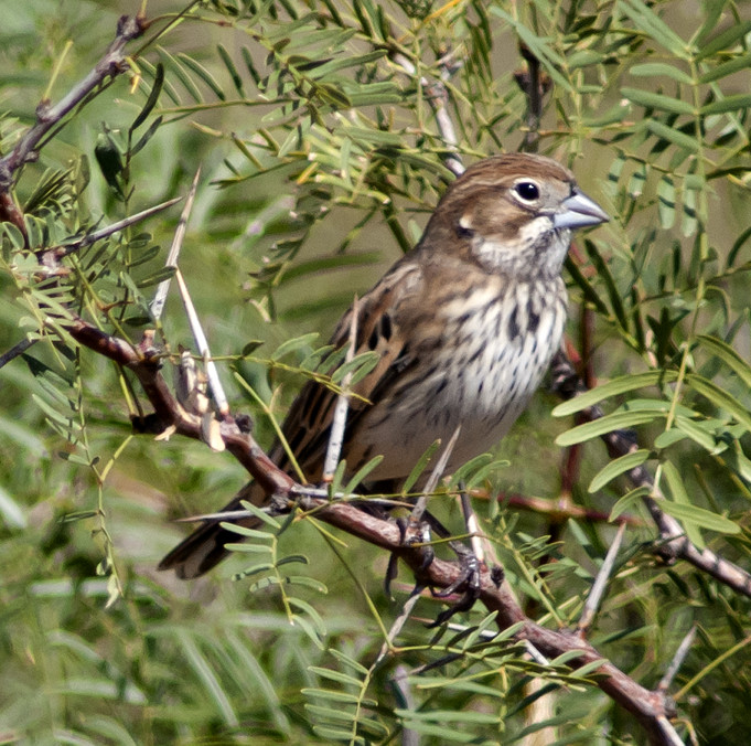
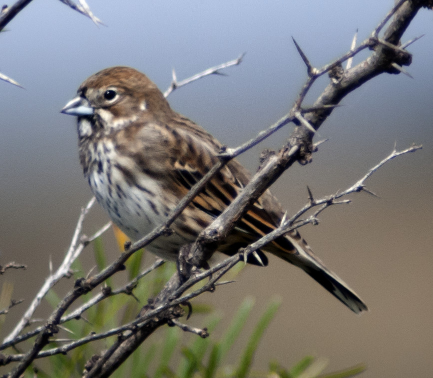
Sparrow, Brewer's 1 @Roosevelt Co.: Melrose Woods
Bunting, Lark 1 @McDonald to Lovington
Sparrow, House # @Clovis Waste Water Treatment Plant
2013-10-17: NM: Hobbs-Carlsbad-Roswell
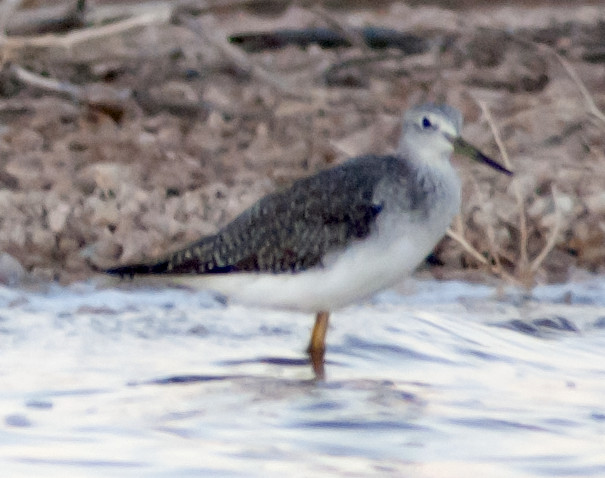
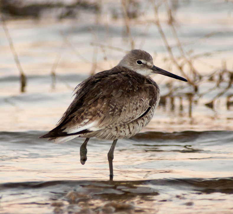
Notable: Willet; Blue Jay
@AT: Lea County: Allred Tank
The upper (southern) tank is full to the brim, which I
haven't seen in many years. I was hoping to get into
Bell Lake afterwards, but Brininstool Road is a morass of
mud from recent rains, and passage at one point was
blocked by a parked convoy of oilfield production trucks.
@Cheap: Brantley Lake: Champion Cove Road
@DBR: Delaware Basin Road (Lea-21)
@EDCO: Eddy County
@HCP: Hobbs City Park
@Oco: Hobbs: Ocotillo Park
@RS: Rattlesnake Springs
@day: Hobbs-Carlsbad-Roswell
@road01: Hobbs-Eunice
@road02: NM-128^W, from Lea-21 to Eddy County
Turkey, Wild # @Rattlesnake Springs
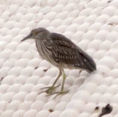
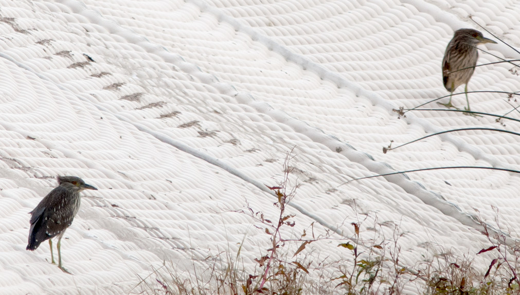
Heron, Great Blue 1 @Rattlesnake Springs
Harrier, Northern 1ϕ @Rattlesnake Springs
Hawk, Sharp-shinned 1 @Hobbs-Eunice
Coot, American # @Lea County: Allred Tank
Flycatcher, Scissor-tailed 2 @Lea County: Allred Tank
Raven, Chihuahuan # @Hobbs-Eunice
Swallow, Barn 2 @Delaware Basin Road (Lea-21)
Kinglet, Ruby-crowned 1 @Hobbs-Eunice
Thrush, Hermit 1 @Lea County: Allred Tank
Robin, American # @Hobbs: Ocotillo Park
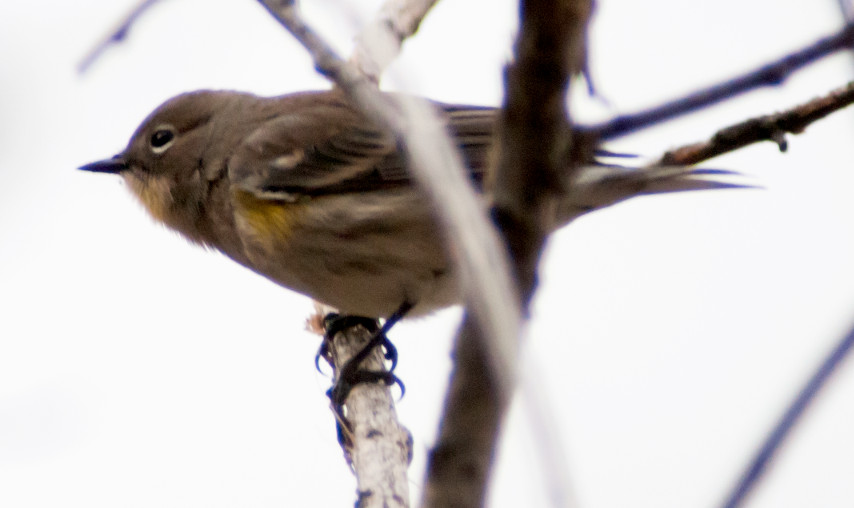
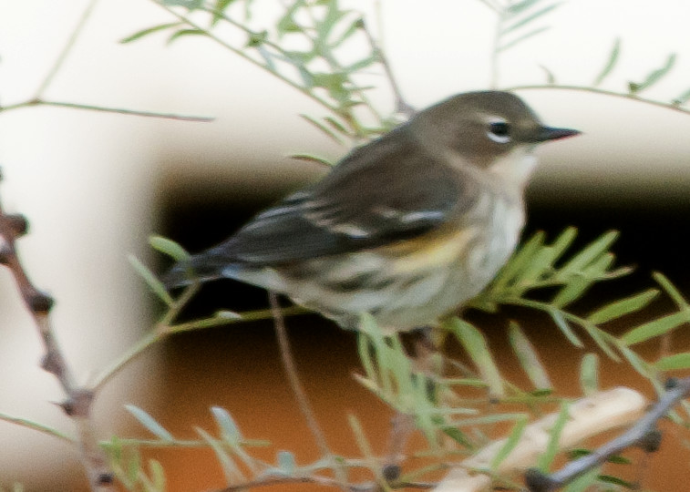
Warbler, Myrtle # @Rattlesnake Springs
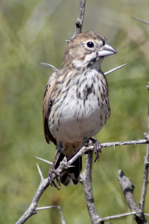
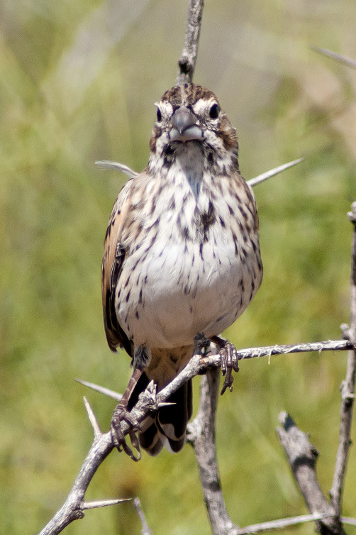
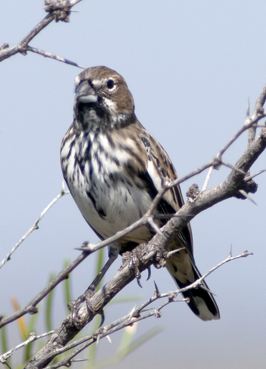
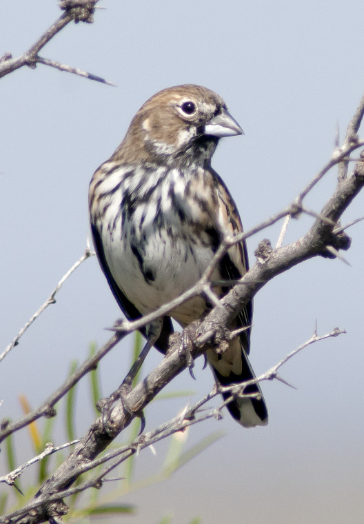
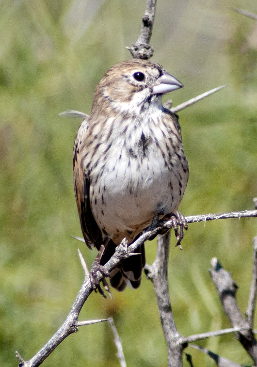
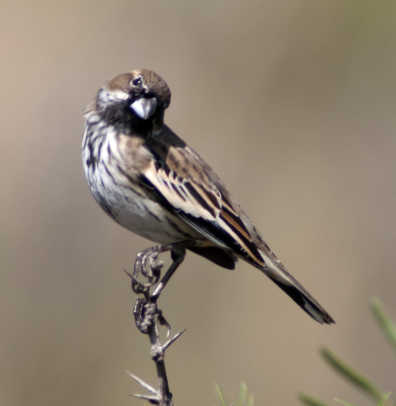
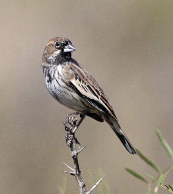
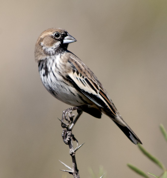
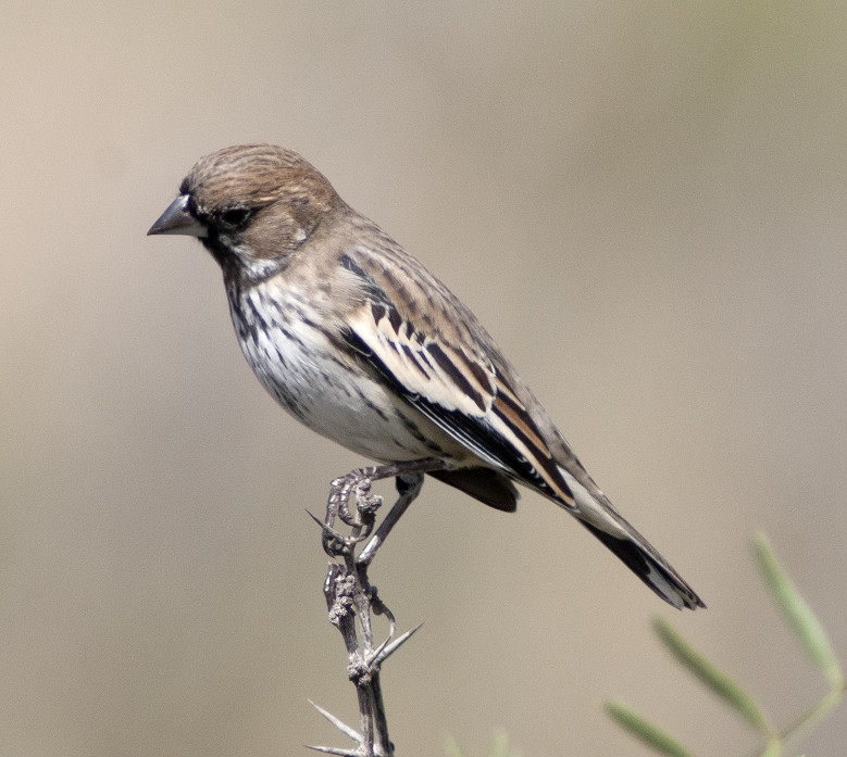
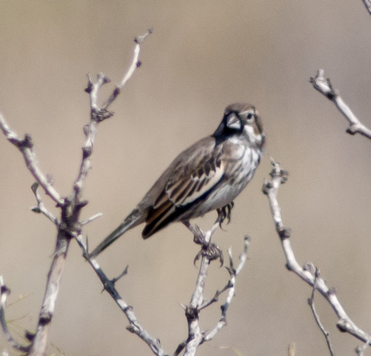
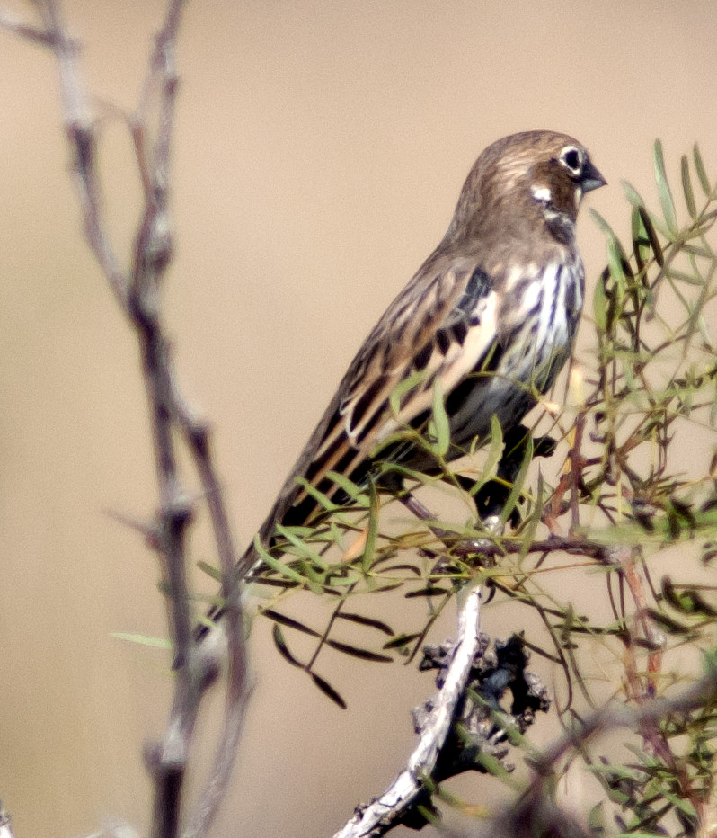
Sparrow, Lincoln's 1 @Lea County: Allred Tank
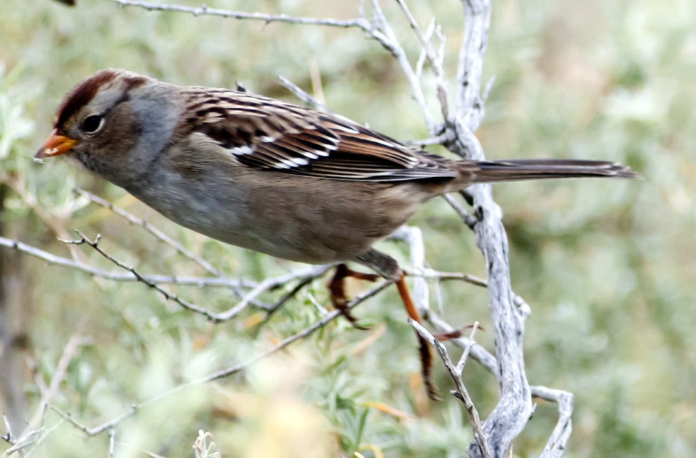
Sparrow, White-crowned # @Lea County: Allred Tank
Grackle, Great-tailed # @Hobbs City Park
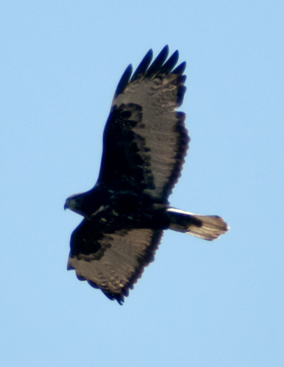
2013-10-24: NM: Luis Lopez
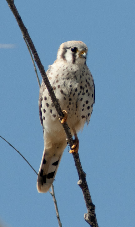
Eagle, Golden 1a @Luis Lopez
2013-10-26: NM: Socorro County
@BdA: Bosque del Apache NWR
@RVT: Bosque del Apache NWR: Rio Viejo Trail
@SocCo: Socorro County
@road1: Luis Lopez to San Antonio
@road2: San Antonio to Bosque del Apache
Route
1120, leave Luis Lopez.
1135, San Antonio.
1150, Bosque del Apache.
1235–1250, Boardwalk.
1320–1455, Rio Viejo Trail.
1515, leave the refuge.
TC-300 2x teleconverter disassembled itself; back to the
TC-14 1.4x after today.
Goose, Blue # @Bosque del Apache NWR
Goose, white Snow # @Bosque del Apache NWR
Goose, Canada # @Bosque del Apache NWR
Gadwall # @Bosque del Apache NWR
Wigeon, American # @Bosque del Apache NWR
Mallard # @Bosque del Apache NWR
Pintail, Northern # @Bosque del Apache NWR
Canvasback # @Bosque del Apache NWR
Redhead # @Bosque del Apache NWR
Duck, Ring-necked # @Bosque del Apache NWR
Duck, Ruddy # @Bosque del Apache NWR
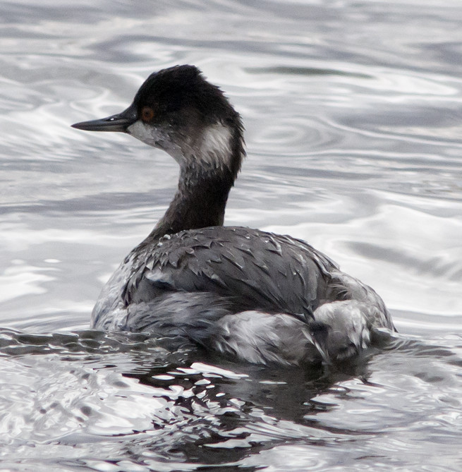
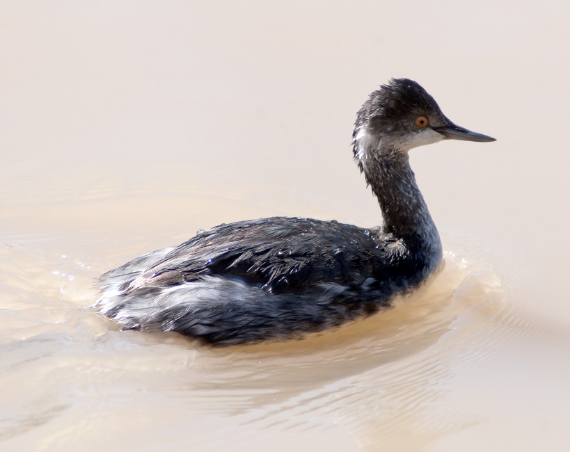
Grebe, Western 3 @Bosque del Apache NWR
Harrier, Northern 1ϕ @Bosque del Apache NWR
Coot, American # @Bosque del Apache NWR
Crane, Sandhill # @Bosque del Apache NWR
Collared-Dove, Eurasian # @San Antonio to Bosque del Apache
Flicker, Red-shafted 2 @Bosque del Apache NWR: Rio Viejo Trail
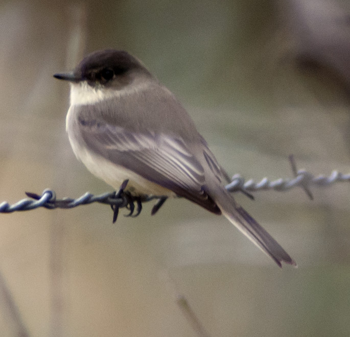
Phoebe, Black 1 @Bosque del Apache NWR
Junco, Pink-sided # @Bosque del Apache NWR: Rio Viejo Trail
Blackbird, Red-winged # @San Antonio to Bosque del Apache
Meadowlark, Western # @San Antonio to Bosque del Apache
2013-10-27: NM: Socorro: 507 Fitch
@home: Socorro: 507 Fitch