How to read Shipman's field notes
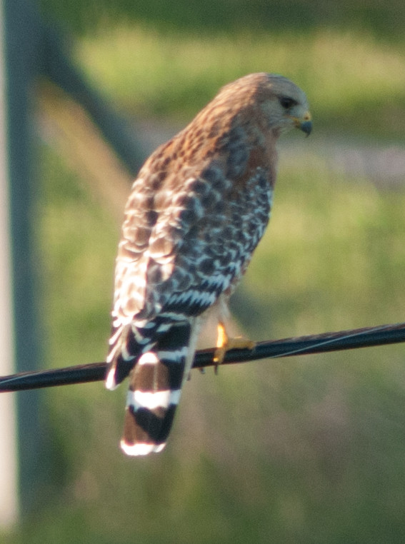
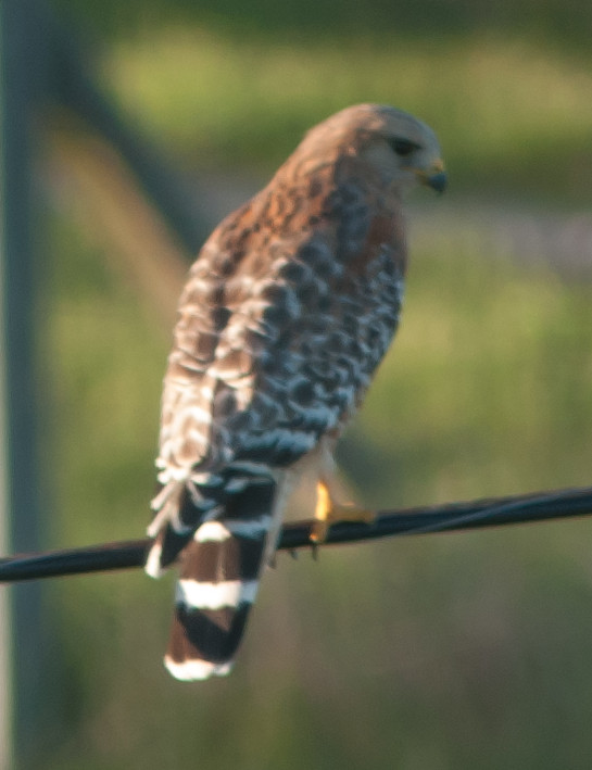
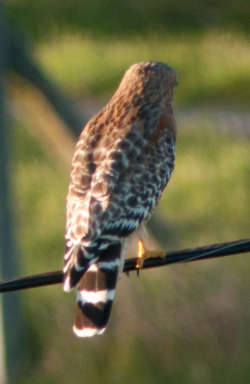
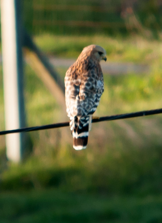
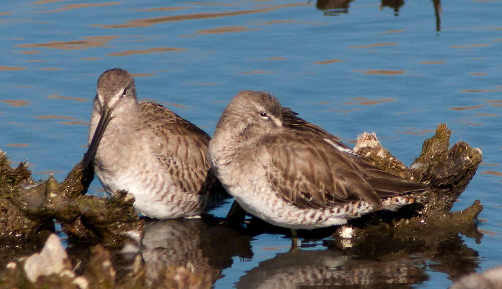
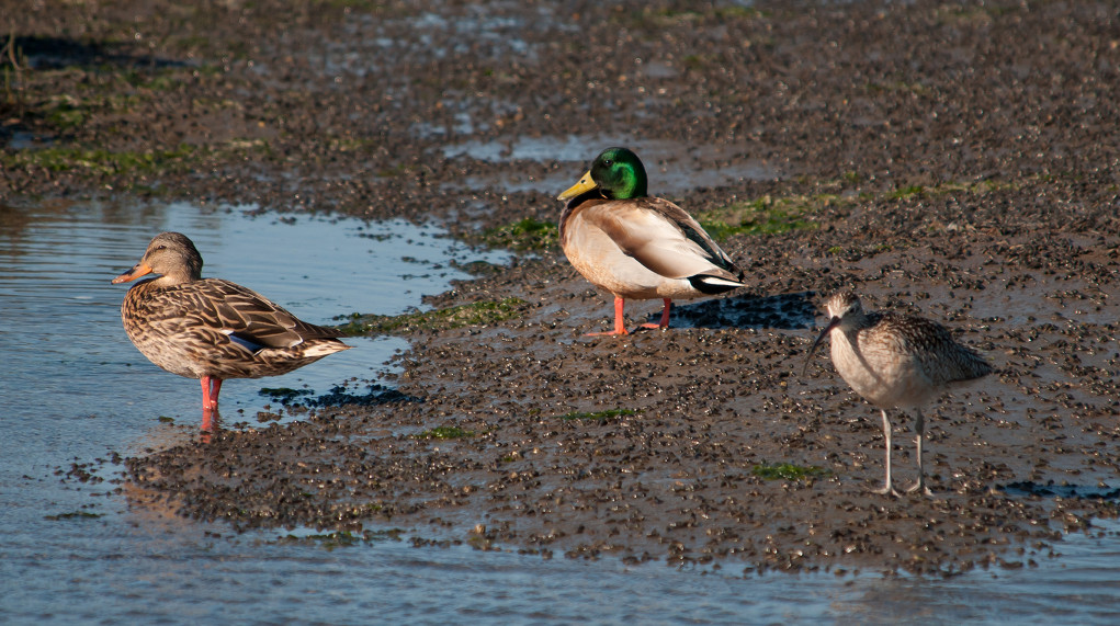
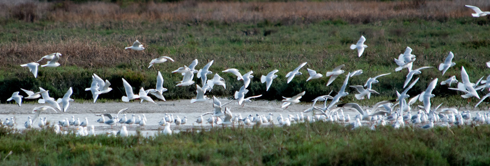
2014-03-01: NM: Belen: Taco Bell Marsh
@TBM: Belen: Taco Bell Marsh
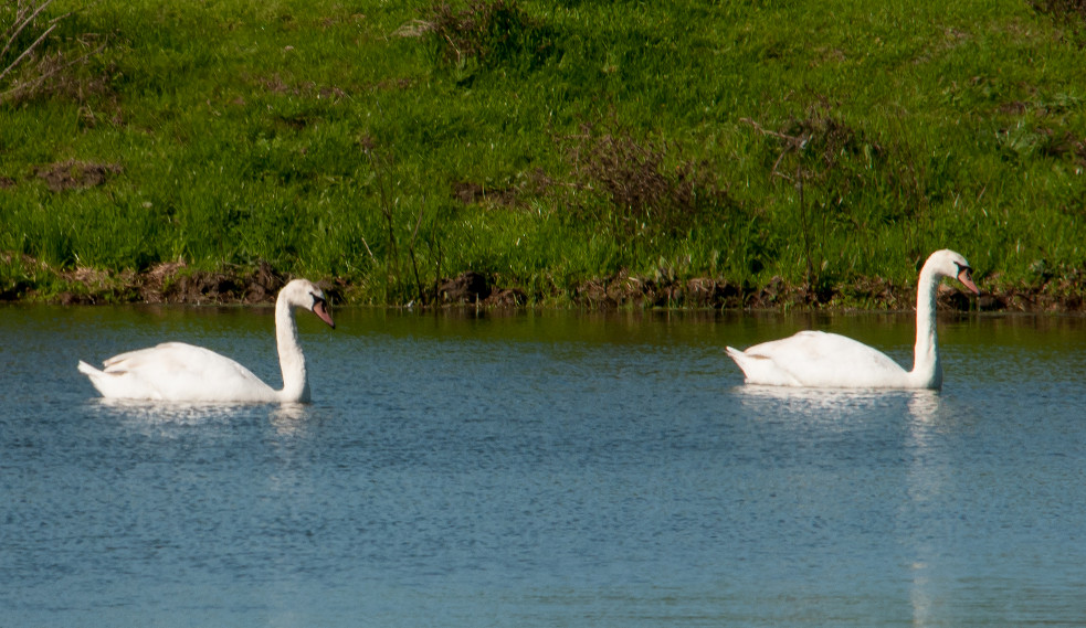
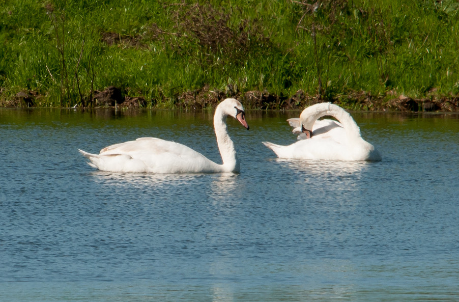
Gadwall # @Belen: Taco Bell Marsh
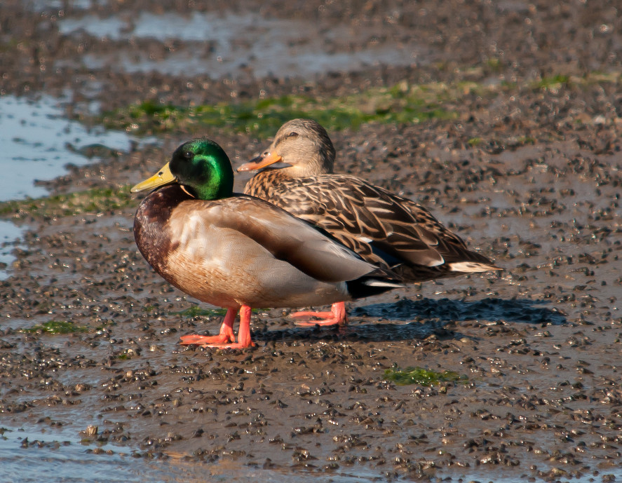
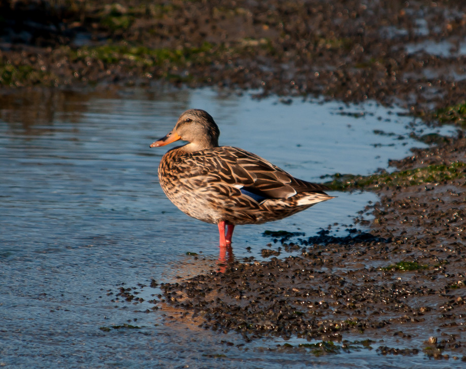
Mallard # @Belen: Taco Bell Marsh
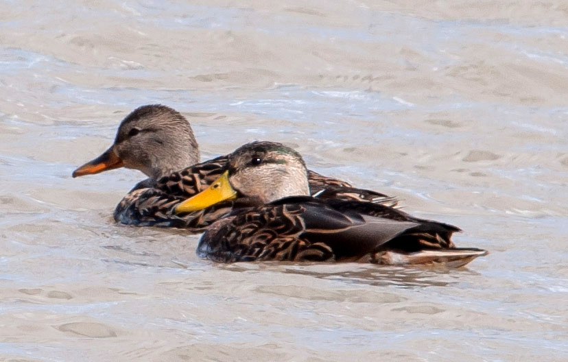
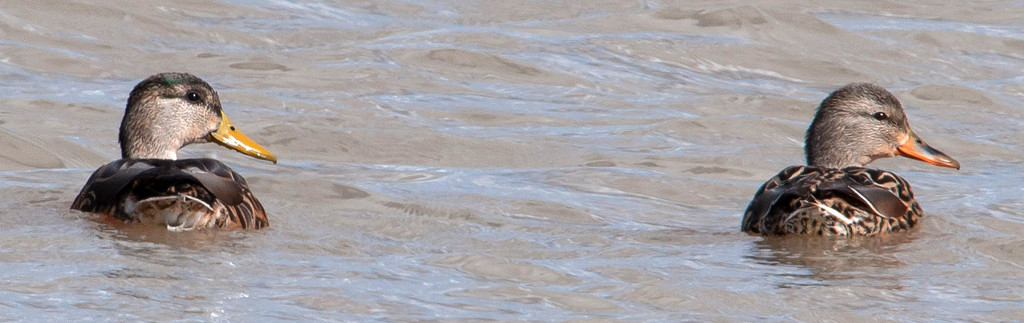
Shoveler, Northern # @Belen: Taco Bell Marsh
Pintail, Northern # @Belen: Taco Bell Marsh
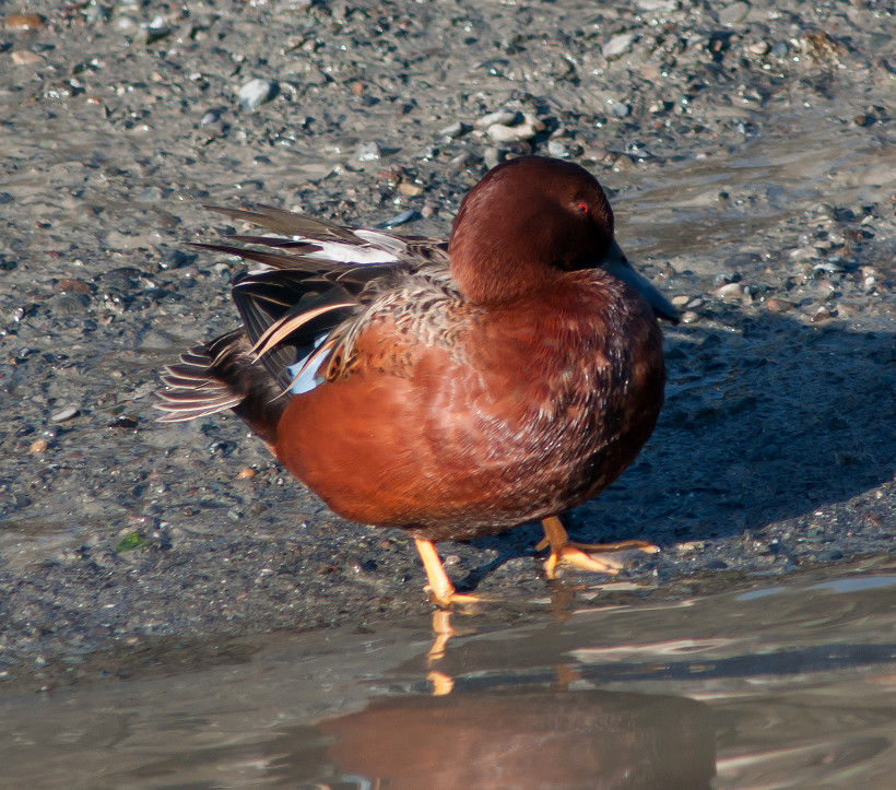
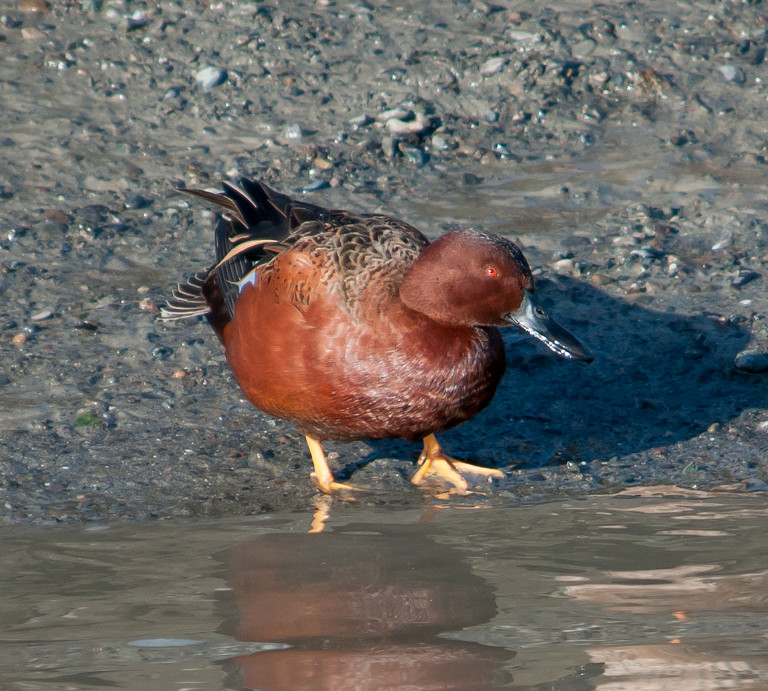
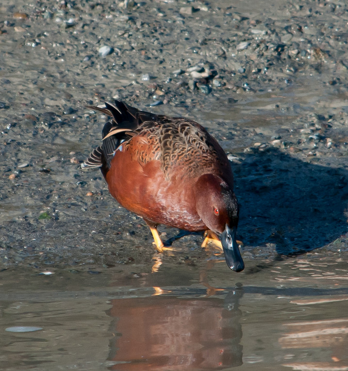
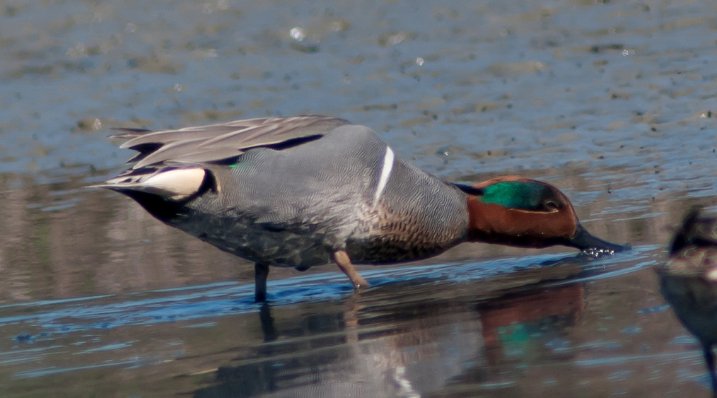
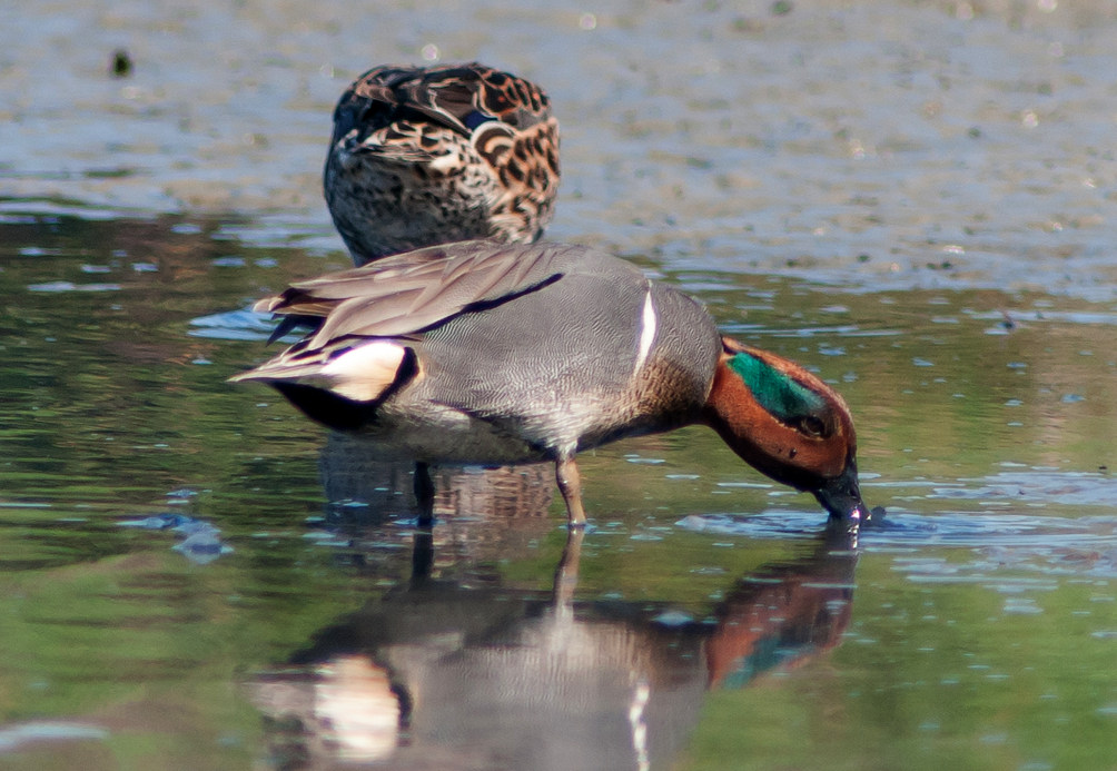
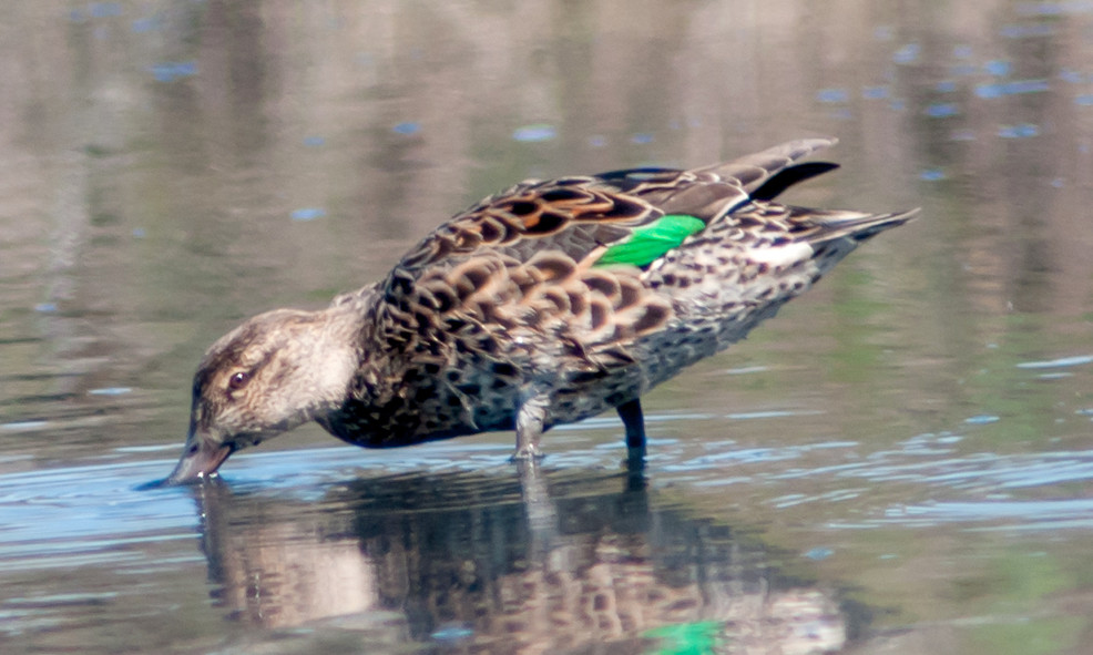
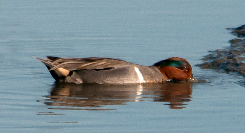
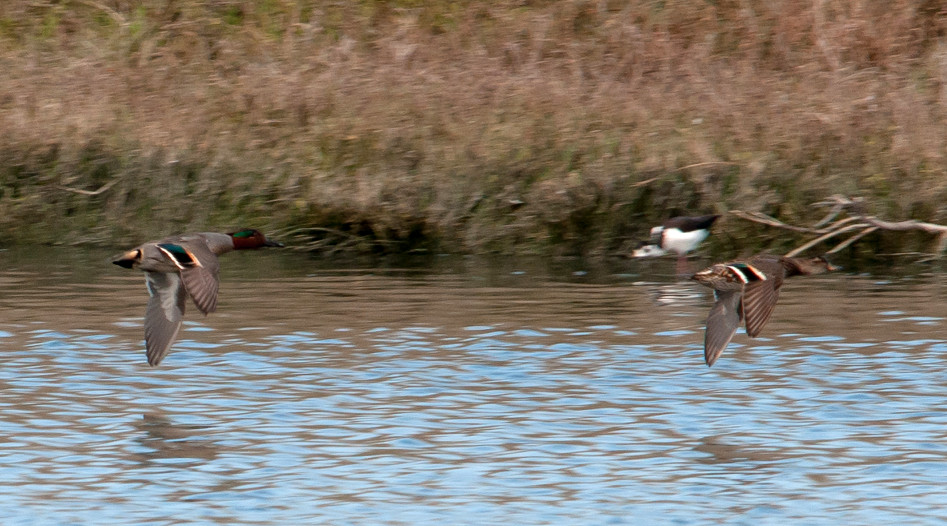
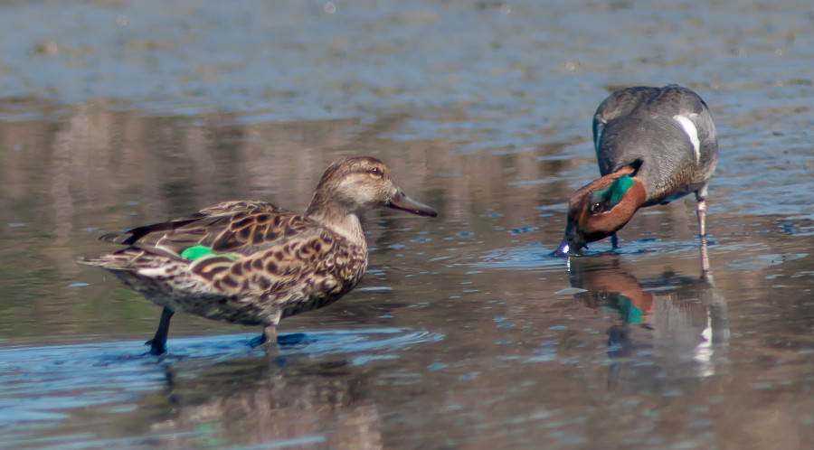
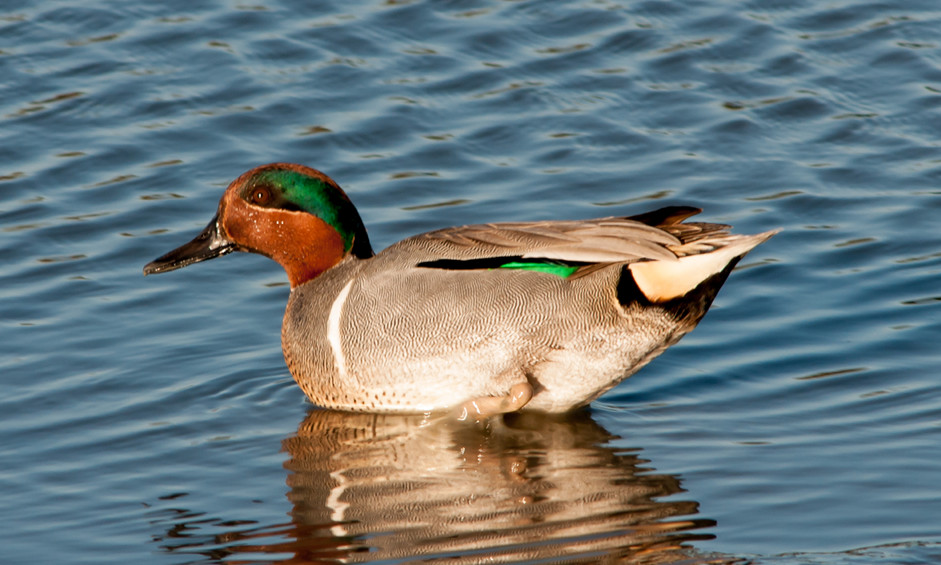
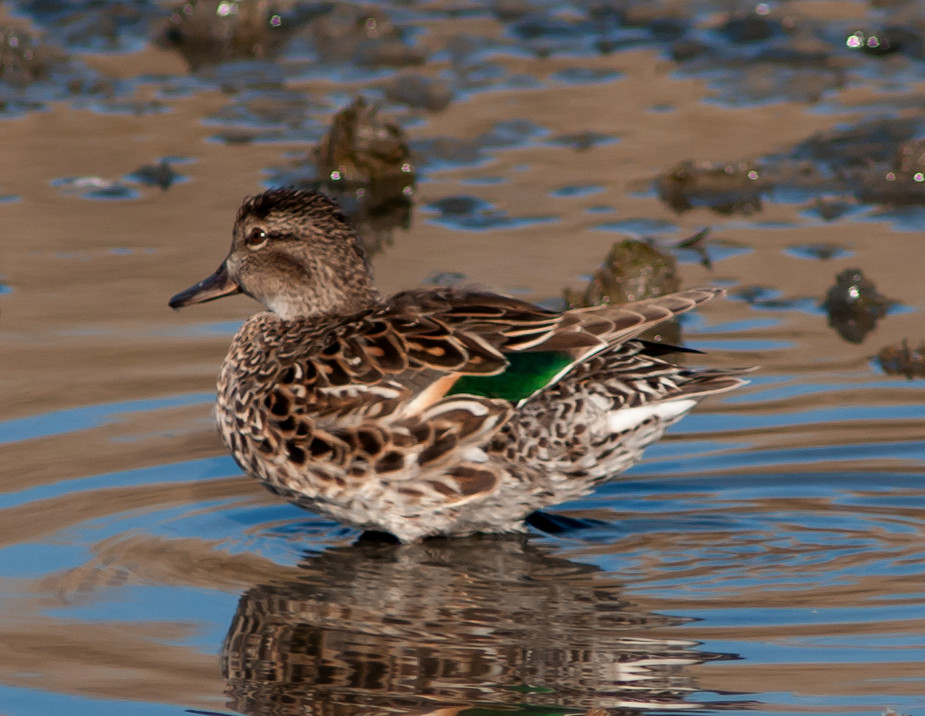
Teal, American Green-winged # @Belen: Taco Bell Marsh
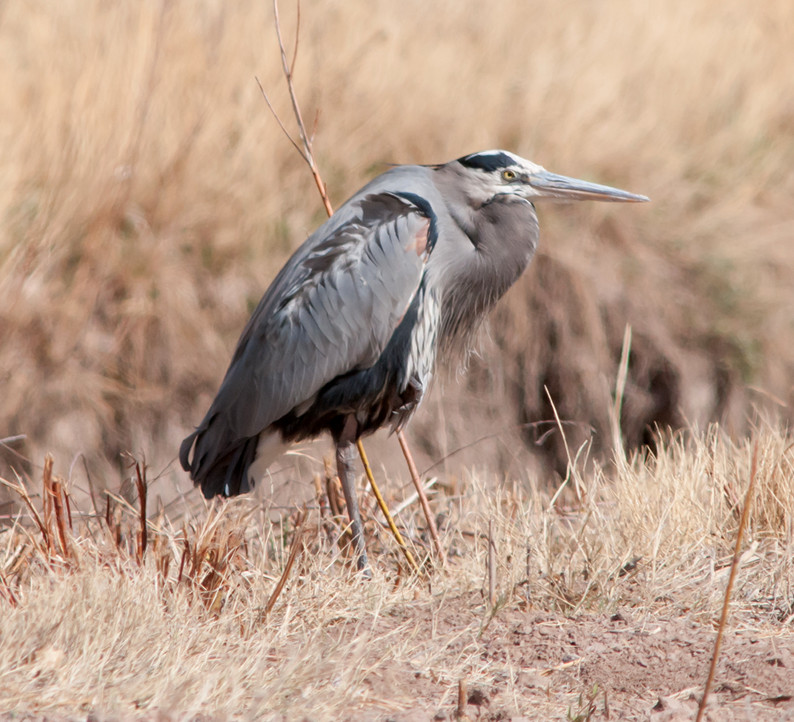
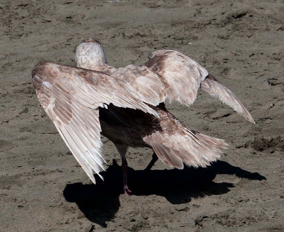
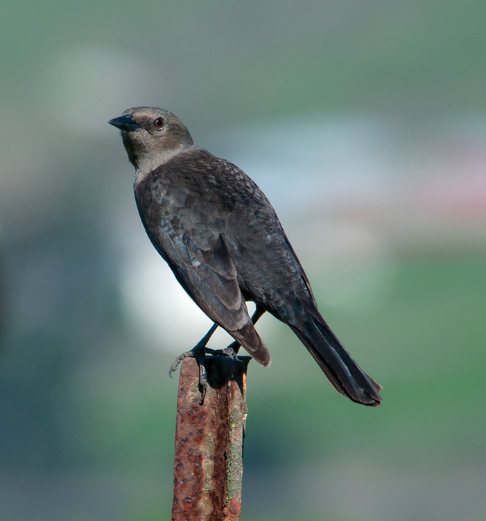
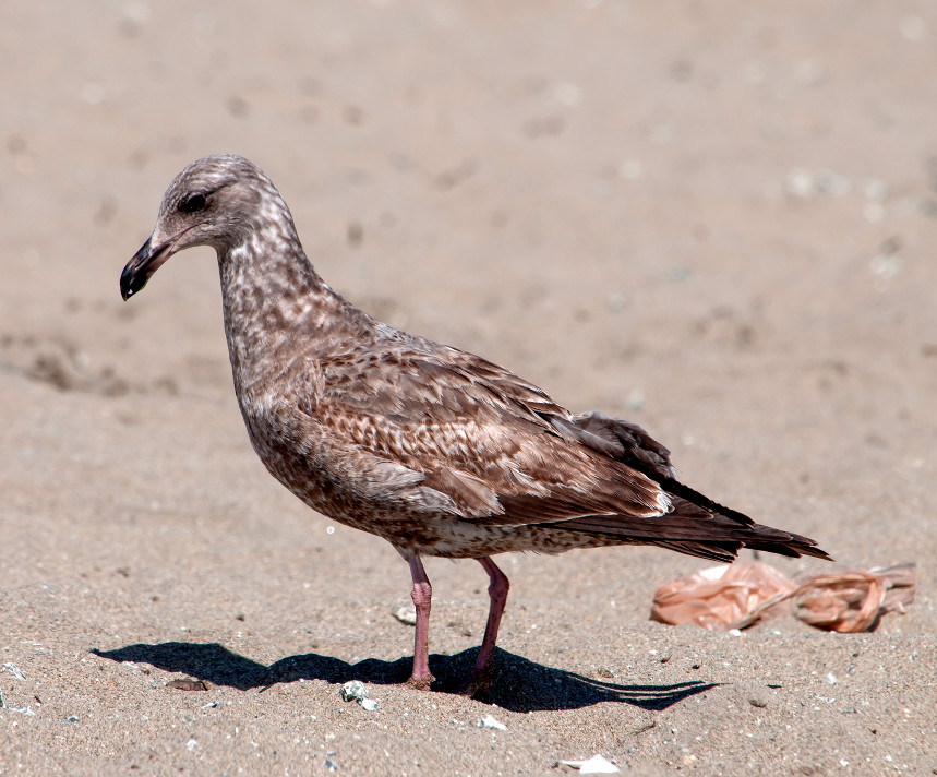
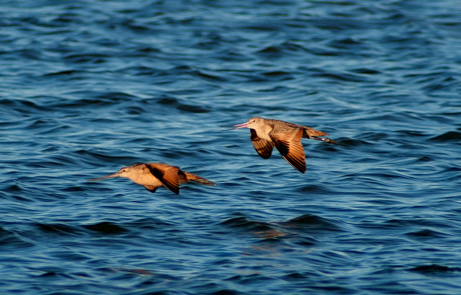
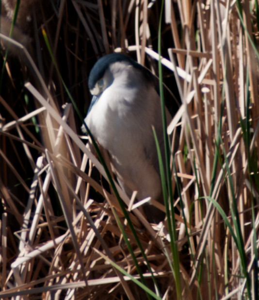
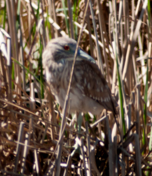
Heron, Great Blue 1 @Belen: Taco Bell Marsh
2014-03-02: NM: Socorro County
@BdA: Bosque del Apache NWR
@FMS: San Antonio: Farm-Market Road south of US-380
@MVT: Bosque del Apache NWR: Marsh View Trail
@SocCo: Socorro County
@road1: Luis Lopez to San Antonio
@road2: San Antonio to Bosque del Apache
Route
1030, leave Socorro.
1045, Luis Lopez.
1105, Farm-Market Road south of US-380.
1120, San Antonio.
1135, Bosque del Apache NWR.
1230, Boardwalk, then Marsh View Trail clockwise.
Goose, Ross' # @Bosque del Apache NWR: Marsh View Trail
Goose, Canada # @Bosque del Apache NWR
Gadwall # @Bosque del Apache NWR
Wigeon, American # @Bosque del Apache NWR
Shoveler, Northern # @Bosque del Apache NWR
Pintail, Northern # @Bosque del Apache NWR
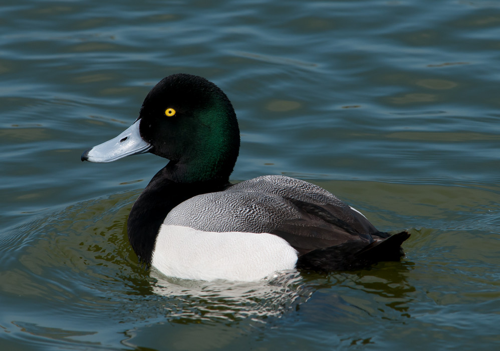
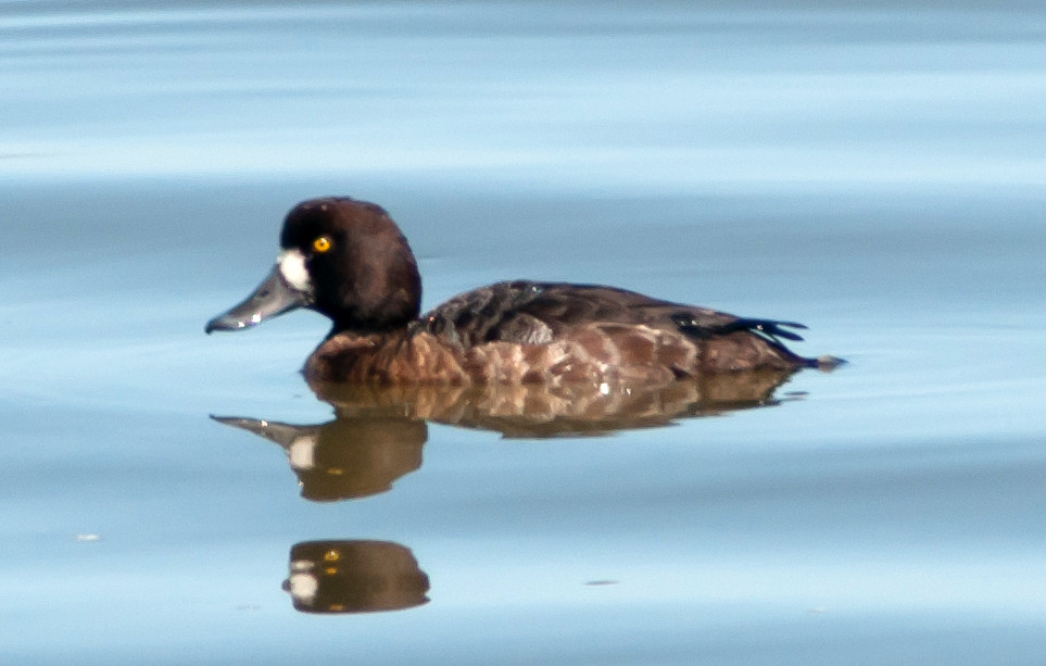
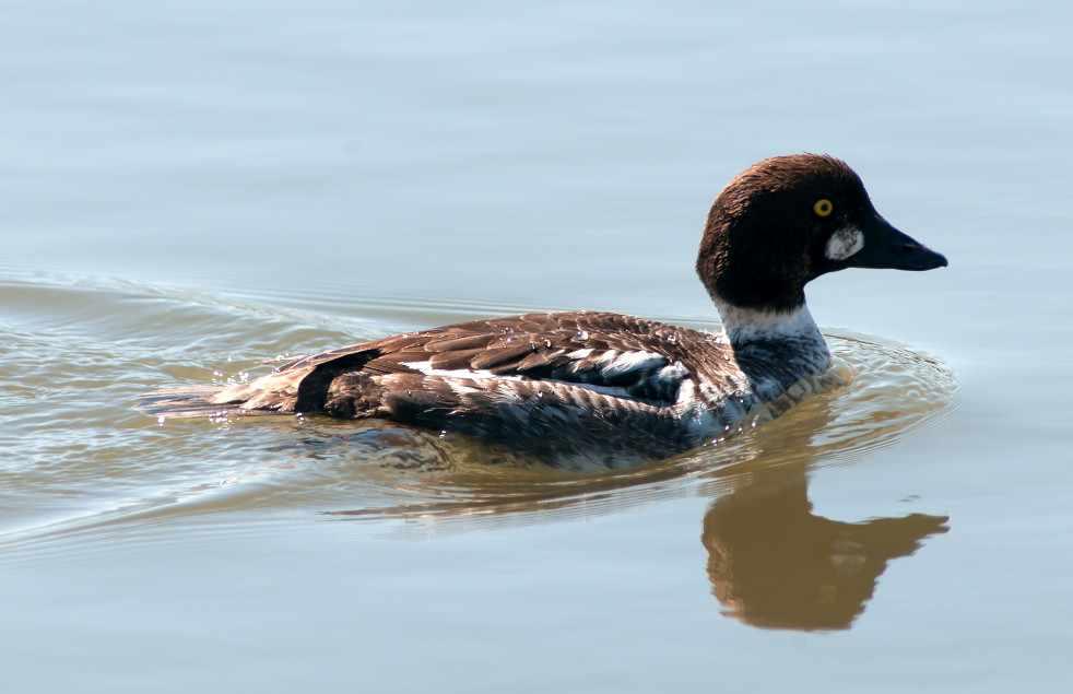
Duck, Ring-necked # @Bosque del Apache NWR
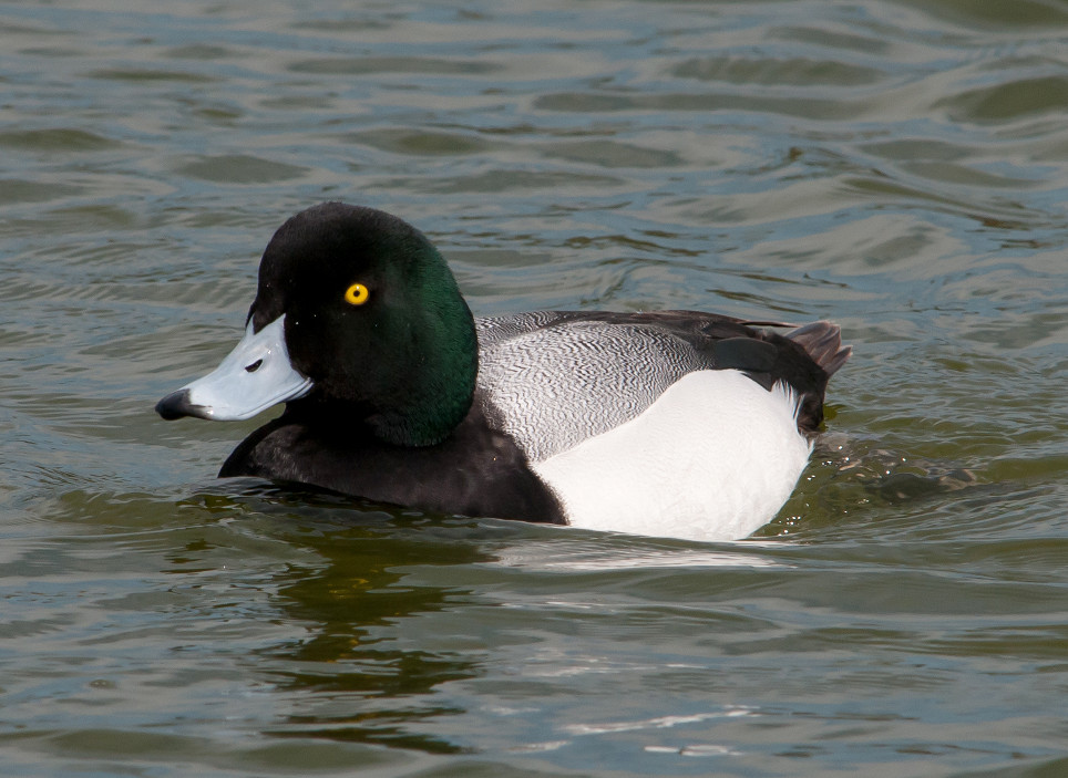
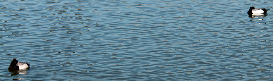
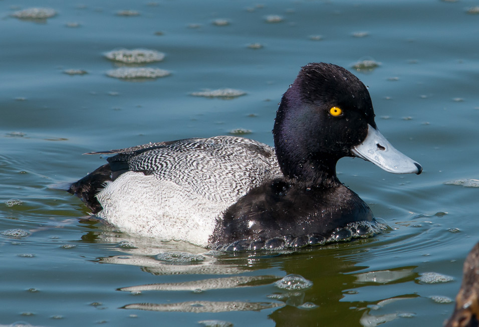
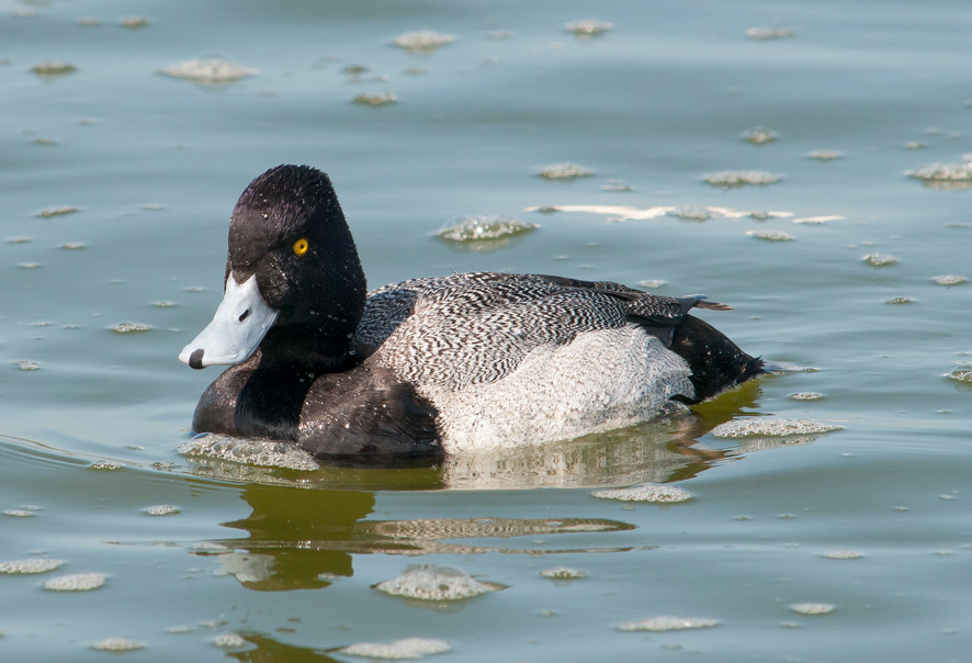
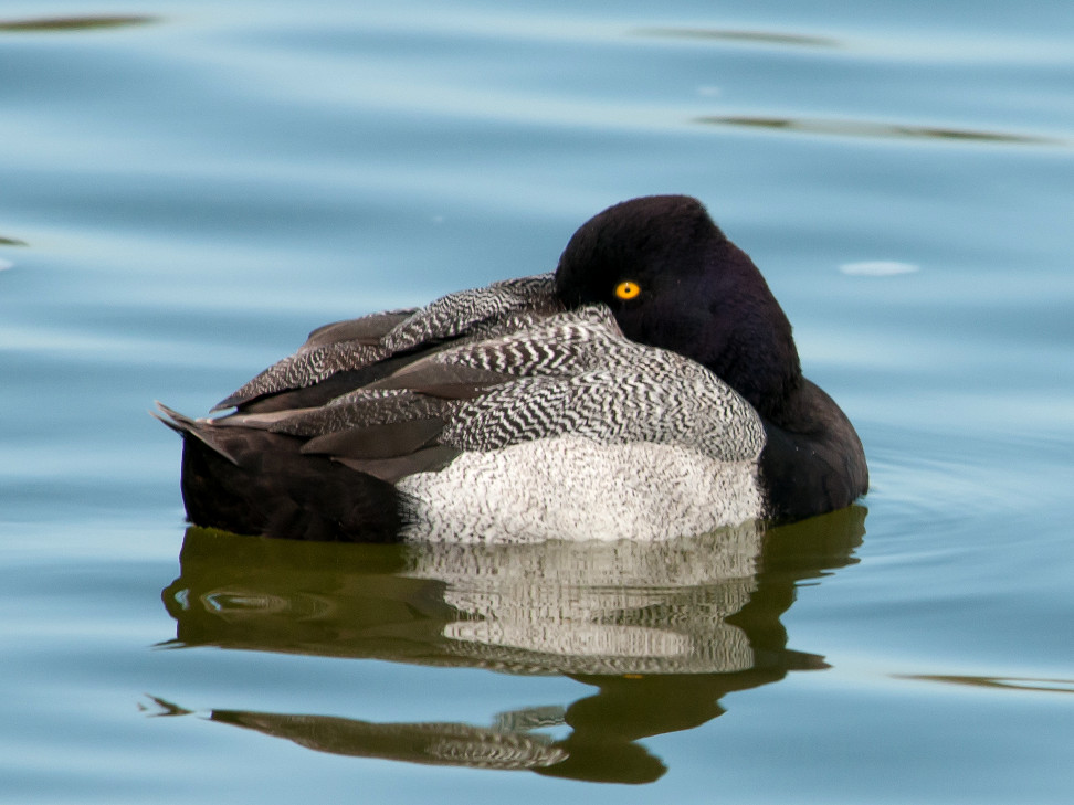
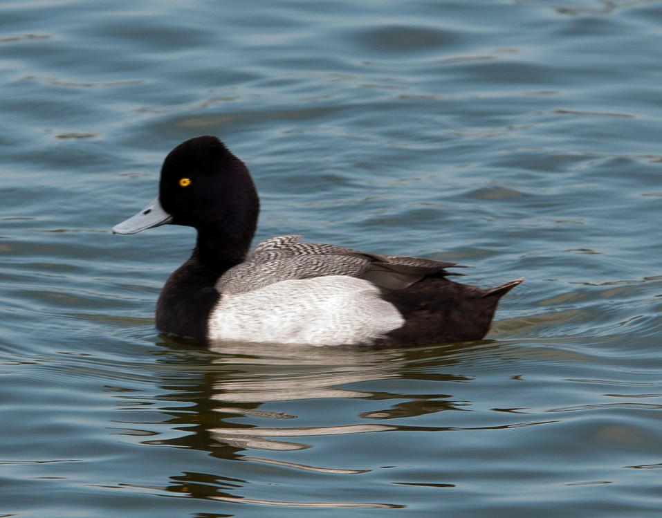
Scaup, Lesser # @Bosque del Apache NWR
Bufflehead # @Bosque del Apache NWR
Coot, American # @Bosque del Apache NWR
Collared-Dove, Eurasian # @San Antonio to Bosque del Apache
Dove, White-winged # @Luis Lopez to San Antonio
Dove, Mourning 1 @Luis Lopez to San Antonio
Roadrunner, Greater 2 @San Antonio: Farm-Market Road south of US-380
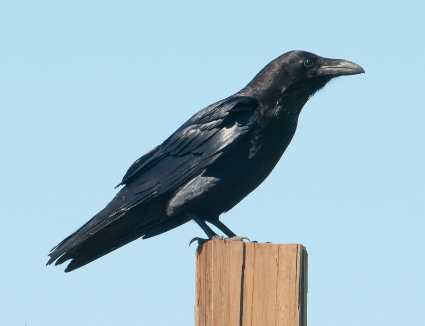
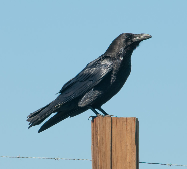
Crow, American # @Luis Lopez to San Antonio
Swallow, Tree # @Bosque del Apache NWR: Marsh View Trail
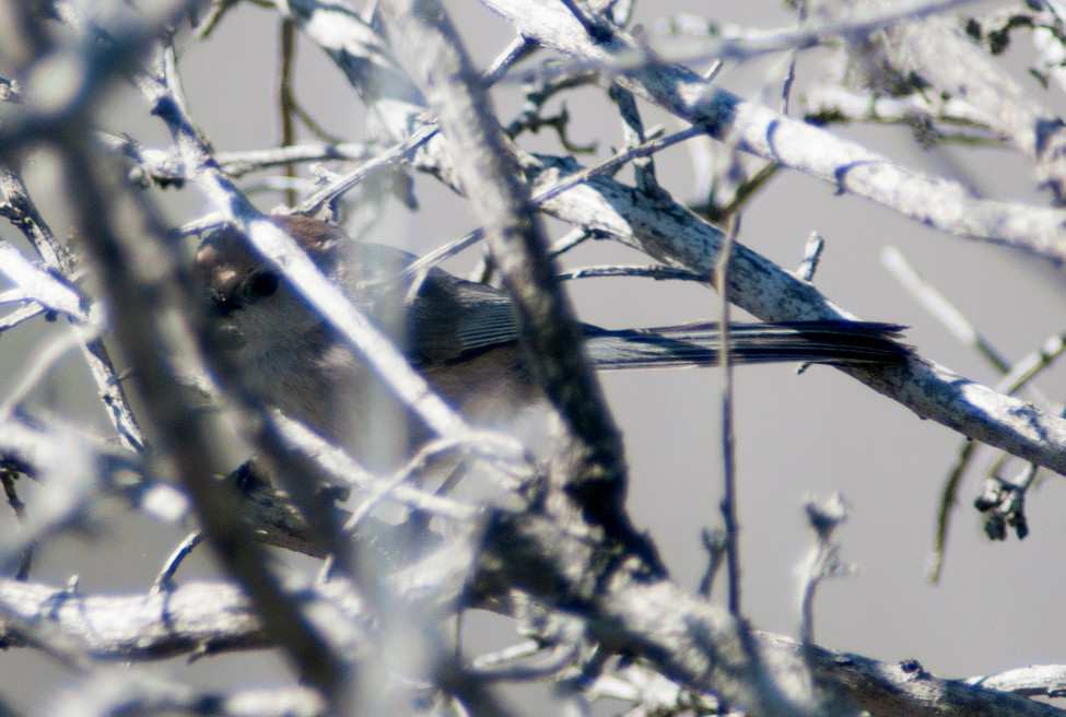
Kinglet, Ruby-crowned 1 @Bosque del Apache NWR: Marsh View Trail
Bluebird, Western 2 @Luis Lopez to San Antonio
Bluebird, Mountain # @Luis Lopez to San Antonio
Robin, American 1 @San Antonio: Farm-Market Road south of US-380
Starling, European 1 @San Antonio to Bosque del Apache
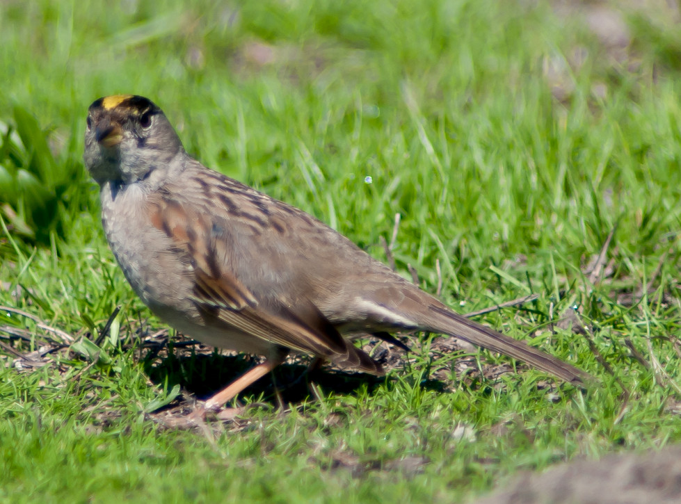
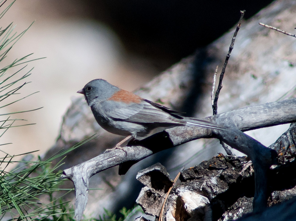
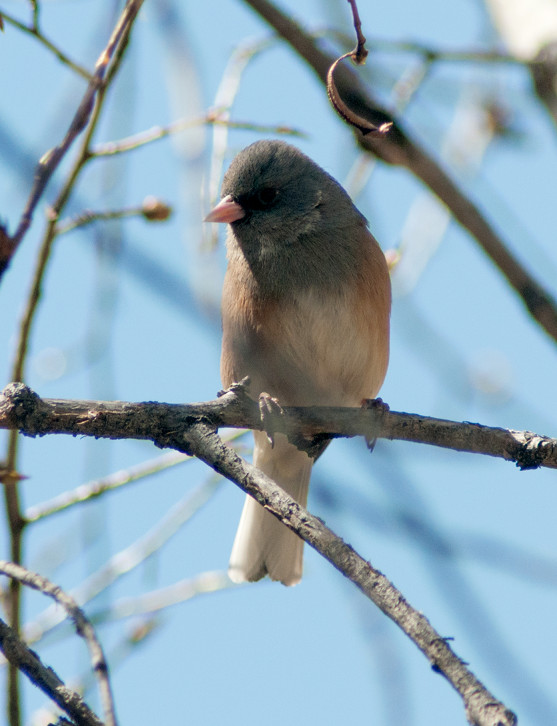
Junco, Gray-headed # @San Antonio: Farm-Market Road south of US-380
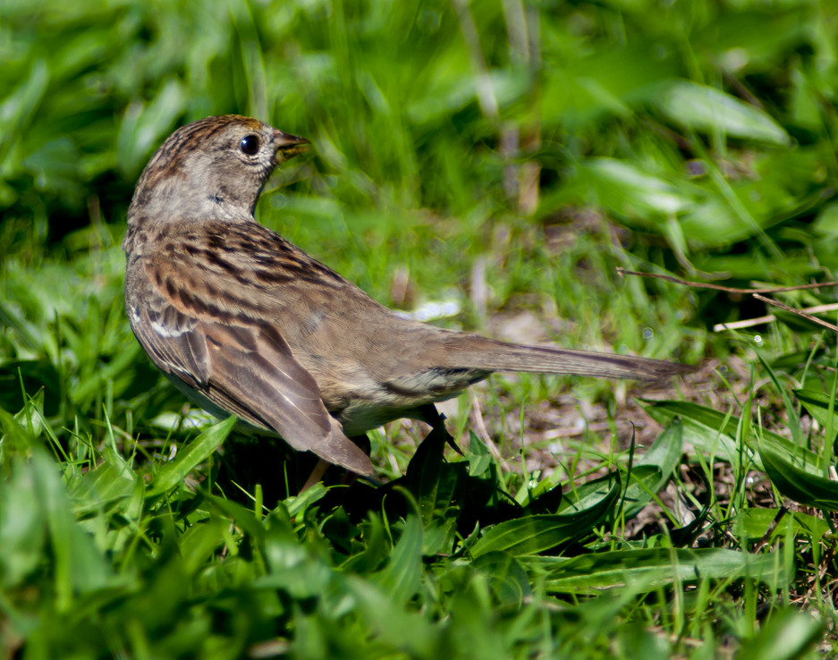
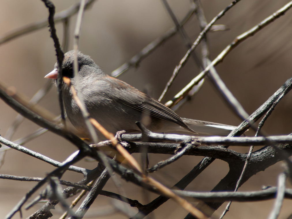
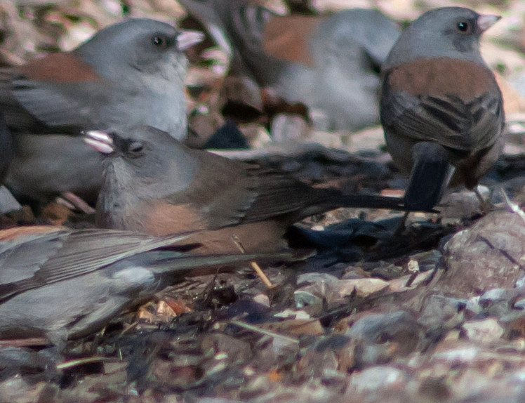
Junco, Pink-sided 1 @Luis Lopez to San Antonio
Finch, House # @San Antonio: Farm-Market Road south of US-380
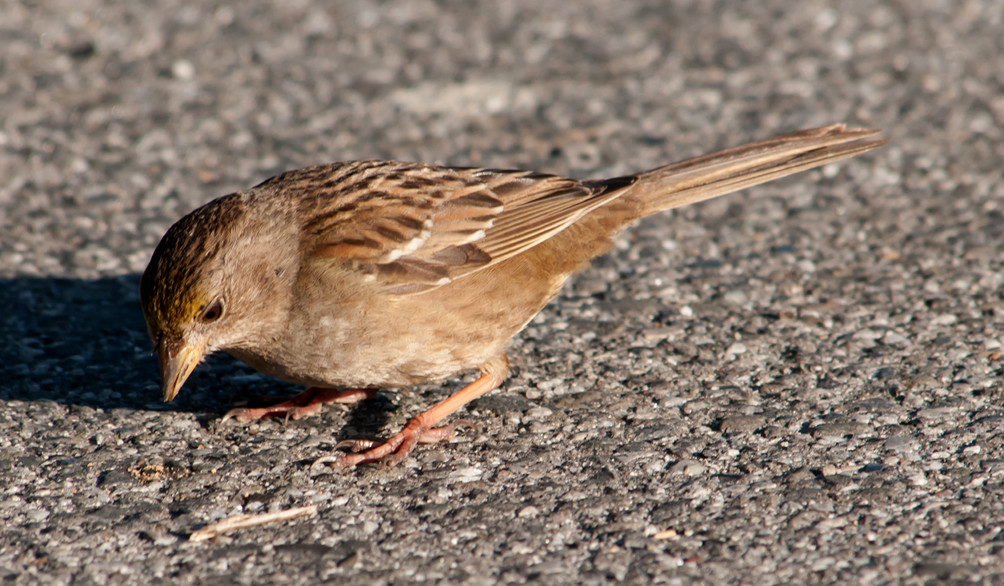
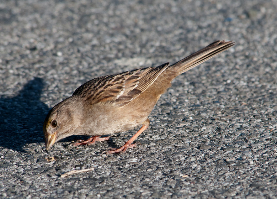
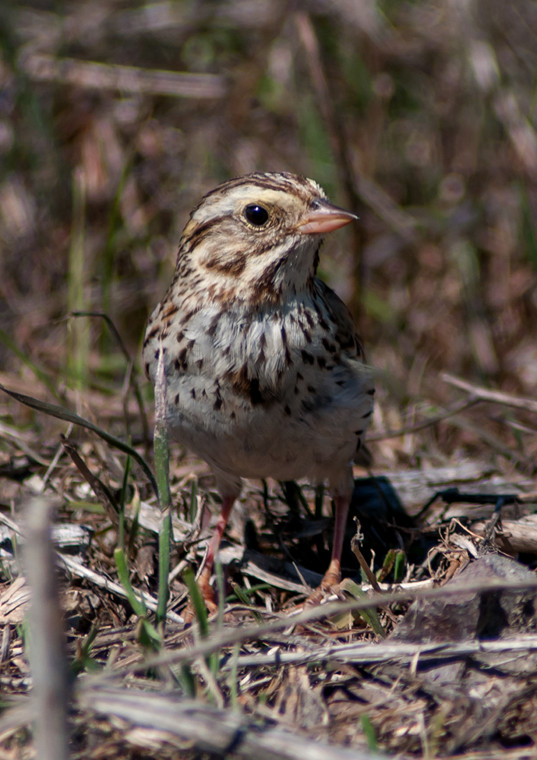
Sparrow, House # @Luis Lopez to San Antonio
2014-03-08: NM: Socorro to Arizona line
@day: Socorro to Arizona line
@road1: Socorro to Valencia line
@road2: Valencia Co. to Cibola line
@road3: Cibola Co. to Grants
@road4: Grants to Gallup
Route
1110, leave Socorro.
1200, Valencia County, NM-6^W.
1235, Cibola County.
1305, Grants.
1355, Gallup.
Kestrel, American 1♀ @Grants to Gallup
Crow, American # @Socorro to Valencia line
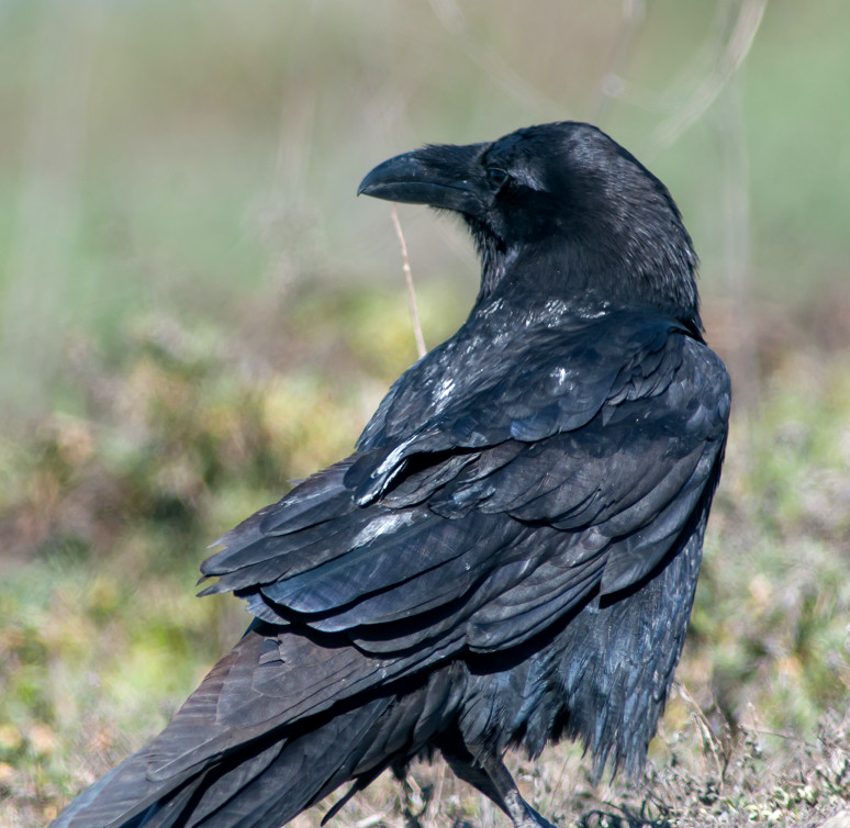
Raven, Chihuahuan # @Valencia Co. to Cibola line
2014-03-08: AZ: I-40, NM to CA
@day: I-40, NM to CA
@road1: I-40, Holbrook to Winslow
@road2: I-40, Winslow to Flagstaff
@road3: I-40, Flagstaff to Williams
@road4: I-40, Seligman to Kingman
Route
1415, enter Arizona.
1510–1520, pit stop in Holbrook.
1545, Winslow.
1630, Flagstaff.
1655, Williams.
1730, Seligman.
1830, arrive Kingman.
Jay, Steller's 1 @I-40, Flagstaff to Williams
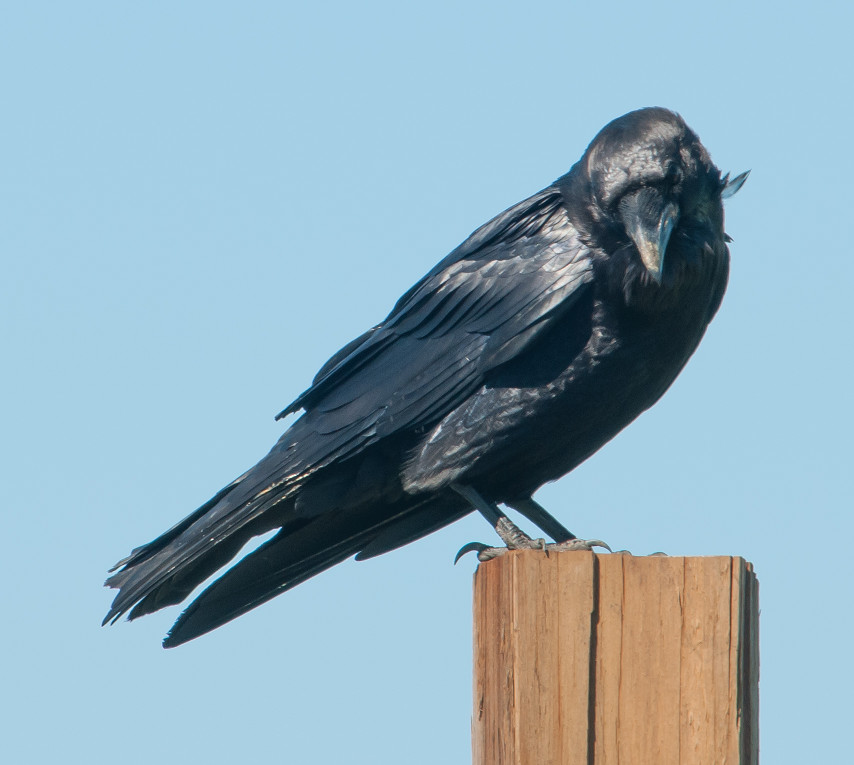
Raven, Chihuahuan # @I-40, Winslow to Flagstaff
2014-03-09: AZ: Kingman to CA line
@day: Kingman to CA line
Route
1055, leave Kingman.
1135, leave Arizona.
Grackle, Great-tailed # @Kingman to CA line
2014-03-09: CA: Needles to Petaluma
@day: Needles to Petaluma
@road1: Needles to Daggett
@road2: Boron to Mojave
@road3: CA-99 to I-5 via CA-46^W
@road4: I-5^N, CA-46^W to Panoche Road exit
@road5: I-5^N, Panoche Road to CA-152 exit
@road6: I-5^N, CA-152 to I-580^W
Route
1135, enter CA on I-40.
1145, Needles.
1340, Daggett.
1350, CA-58^W.
1420-1430, pitstop at x US-395, ~Boron.
1520, Tehachapi Summit.
1555, CA-99^N.
1615, CA-46^W.
1645, I-5^N.
1800-1810, pit stop at Panoche Road exit.
1840, passed CA-152 exit.
1915, turn W on I-580.
1940-2000, dinner in Livermore.
2120, arrive Petaluma.
Pigeon, Rock # @I-5^N, Panoche Road to CA-152 exit
Dove, Mourning # @CA-99 to I-5 via CA-46^W
raven sp. 1 @I-5^N, Panoche Road to CA-152 exit
Blackbird, Red-winged # @I-5^N, CA-152 to I-580^W
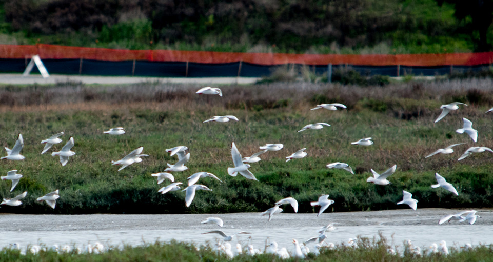
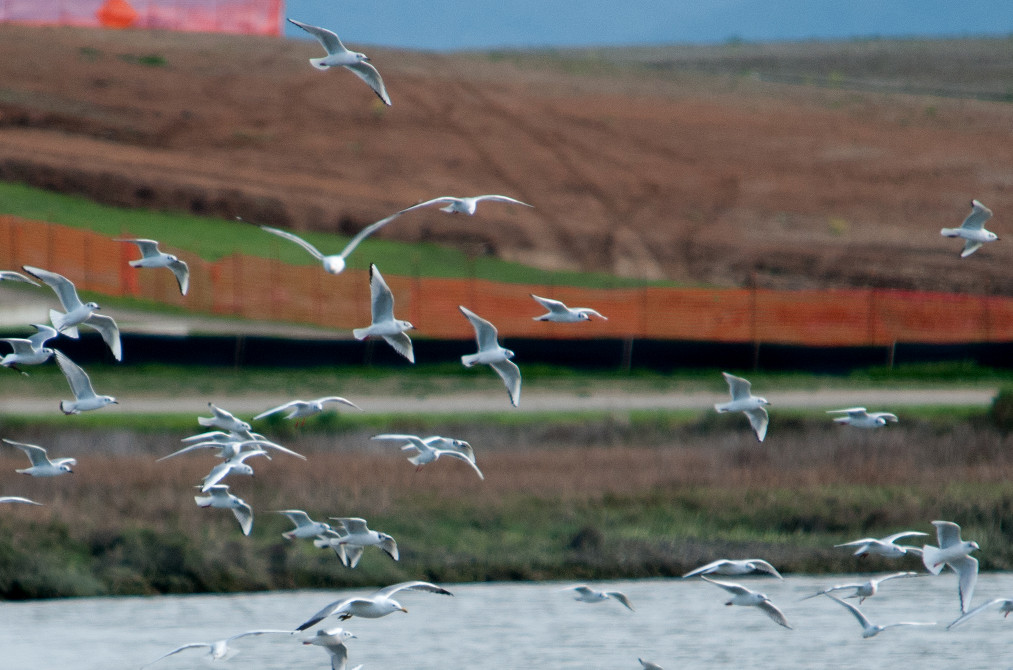
2014-03-10: CA: Bodega Bay area
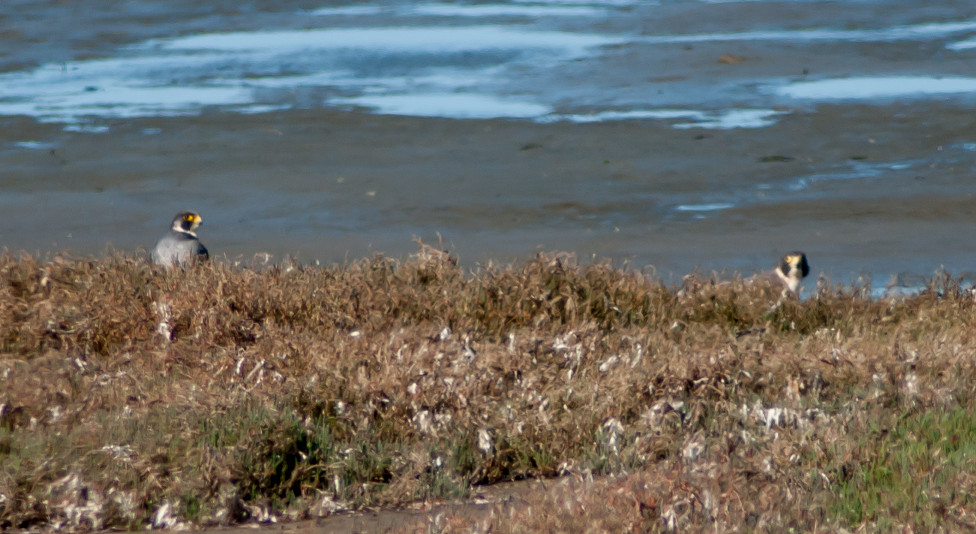
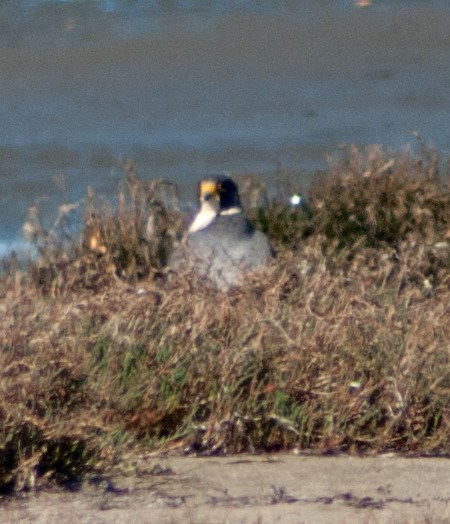
Notable: Peregrine Falcon
@BodBay: Bodega Bay
@Bodega: Bodega Bay area
@Doran: Bodega Bay: Doran Park
@road1: Marin Co.: Bodega Bay to Petaluma
Route
1025, leave Petaluma.
1145, arrive Doran Park.
1450, leave Doran Park for Bodega Head via Bodega Bay.
1640, leave Bodega Bay, back to Petaluma.
Goose, Canada # @Marin Co.: Bodega Bay to Petaluma
Gadwall # @Bodega Bay: Doran Park
Wigeon, American # @Bodega Bay: Doran Park
Mallard # @Marin Co.: Bodega Bay to Petaluma
Teal, American Green-winged # @Bodega Bay: Doran Park
Scaup, Lesser # @Marin Co.: Bodega Bay to Petaluma
Bufflehead # @Marin Co.: Bodega Bay to Petaluma
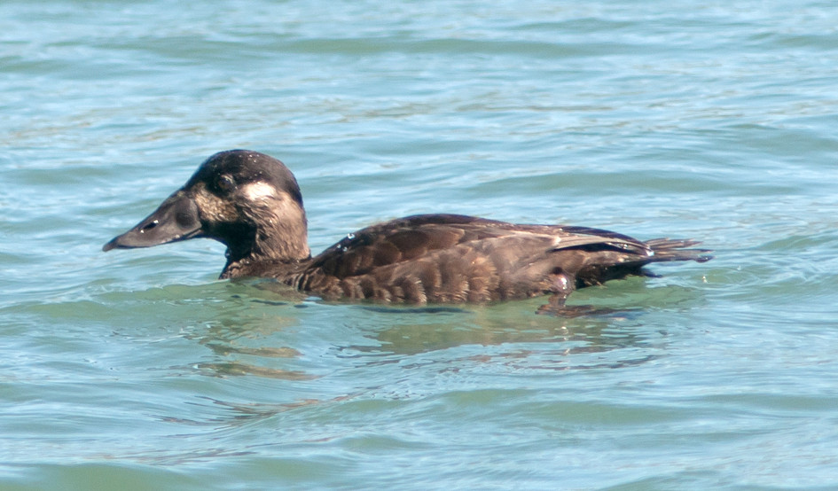
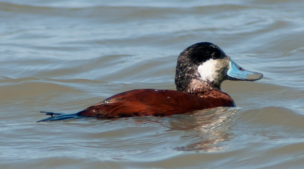
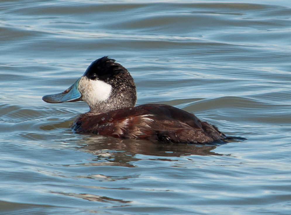
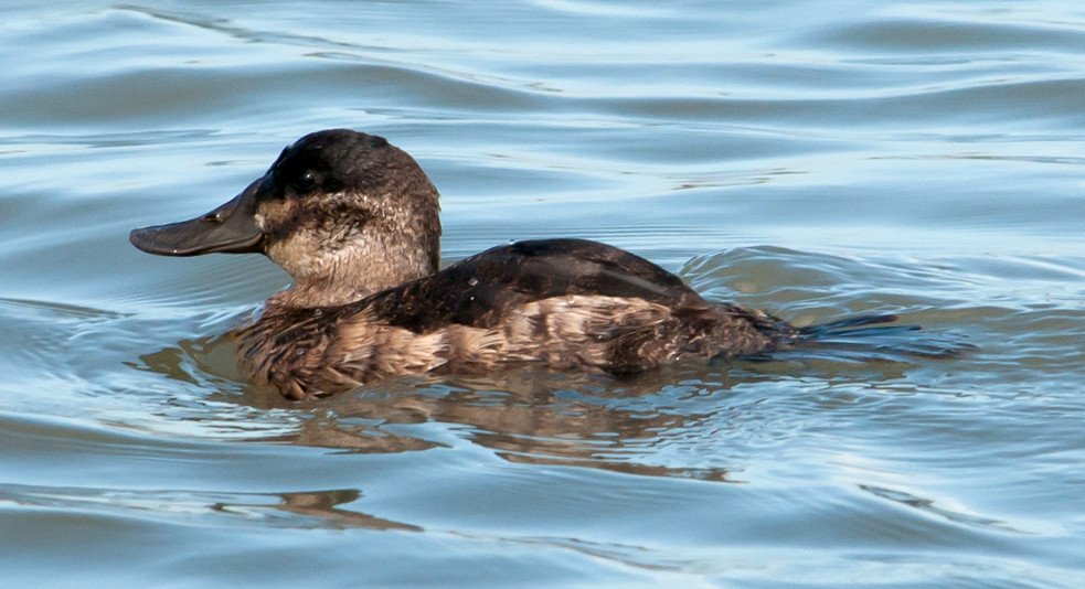
Duck, Ruddy # @Marin Co.: Bodega Bay to Petaluma
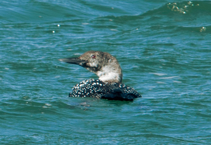
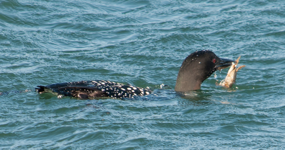
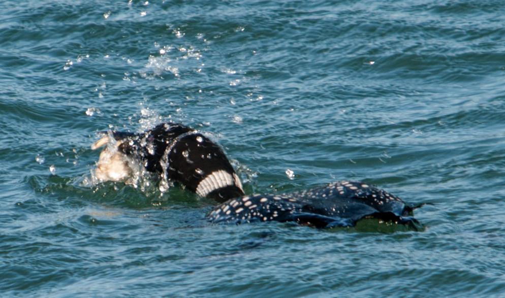
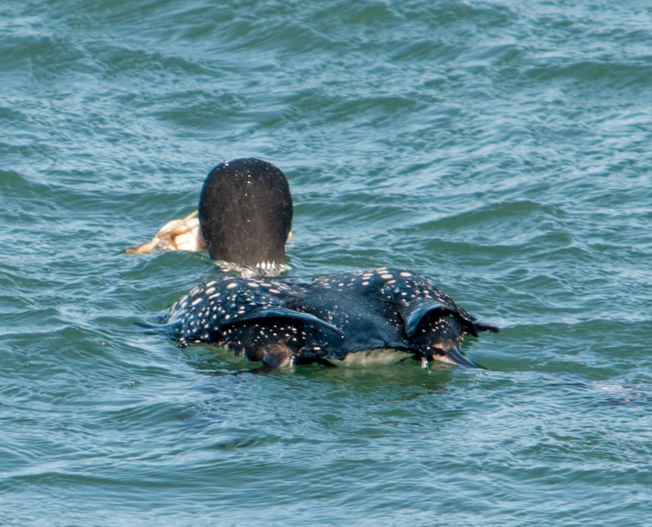
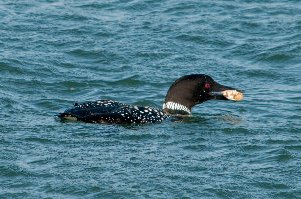
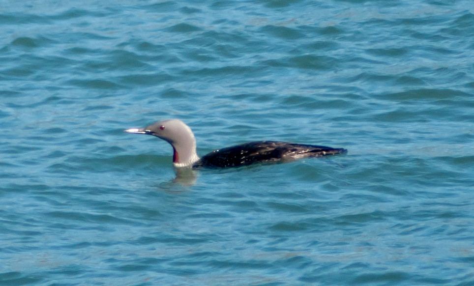
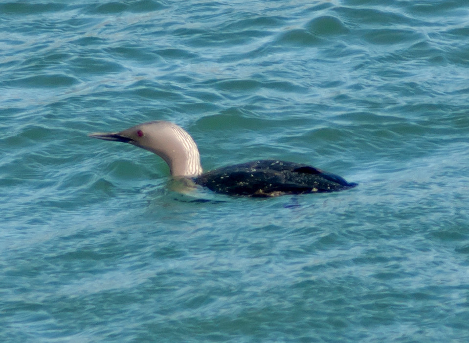
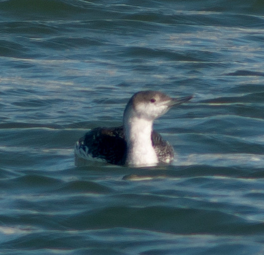
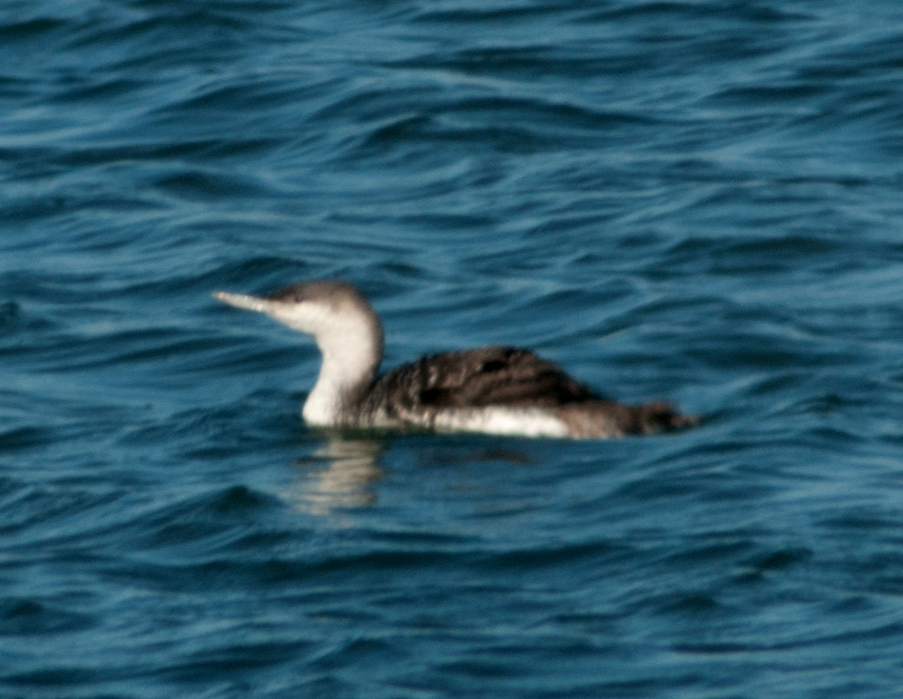
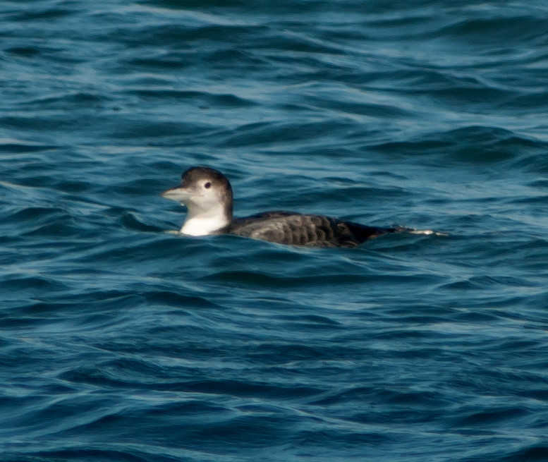
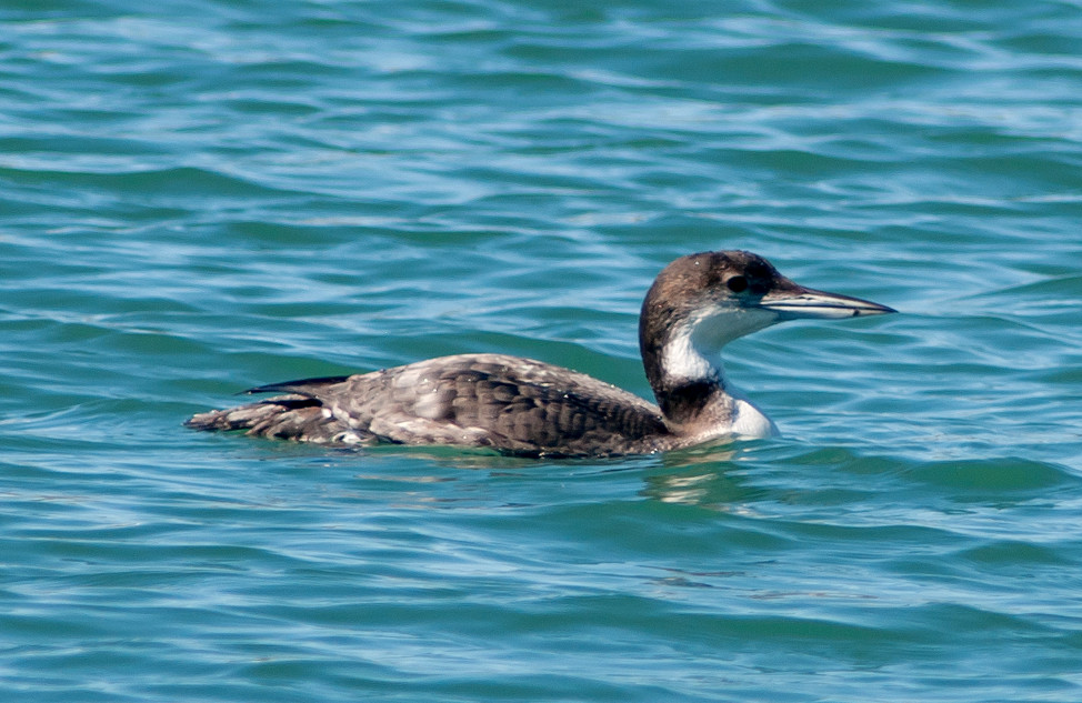
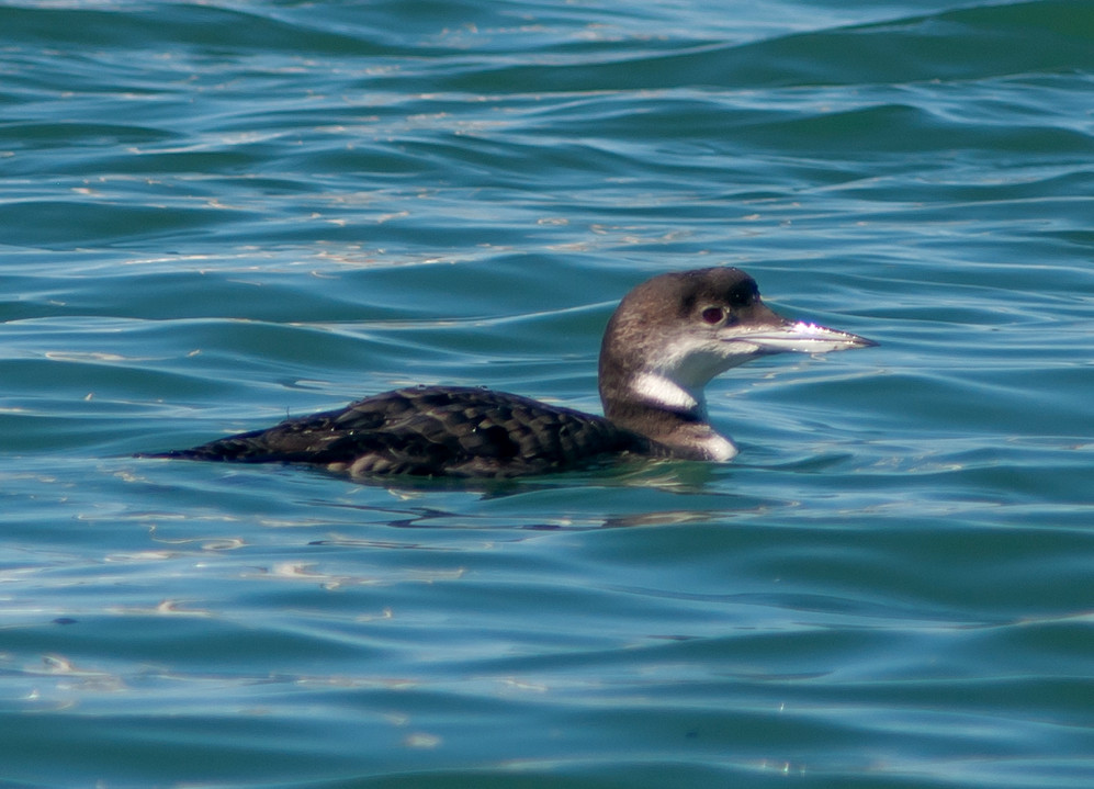
Loon, Pacific 1 @Bodega Bay: Doran Park
Egret, Great # @Marin Co.: Bodega Bay to Petaluma
Vulture, Turkey # @Marin Co.: Bodega Bay to Petaluma
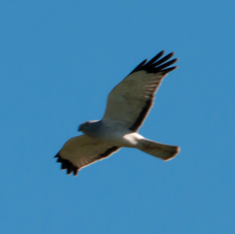
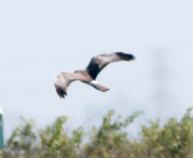
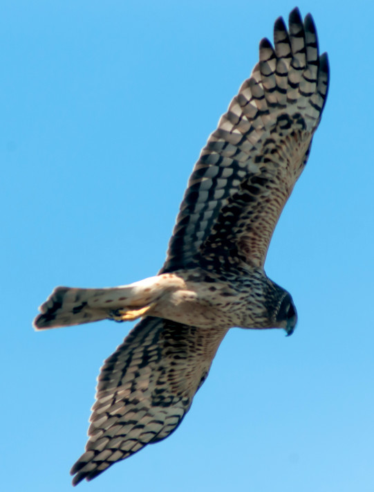
Harrier, Northern 1 @Bodega Bay: Doran Park
Coot, American # @Bodega Bay: Doran Park
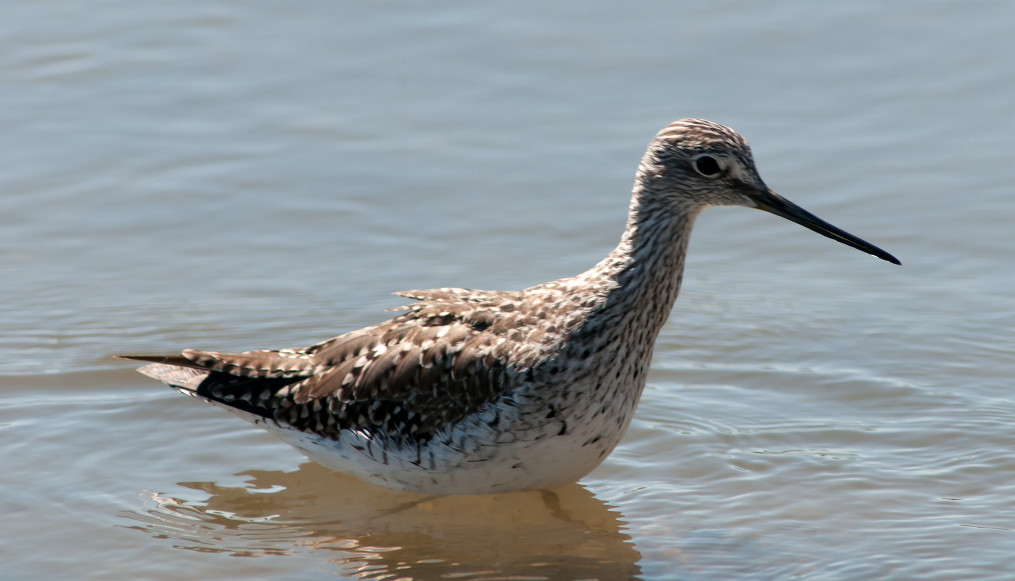
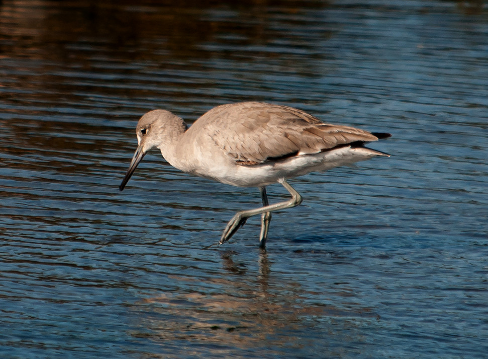
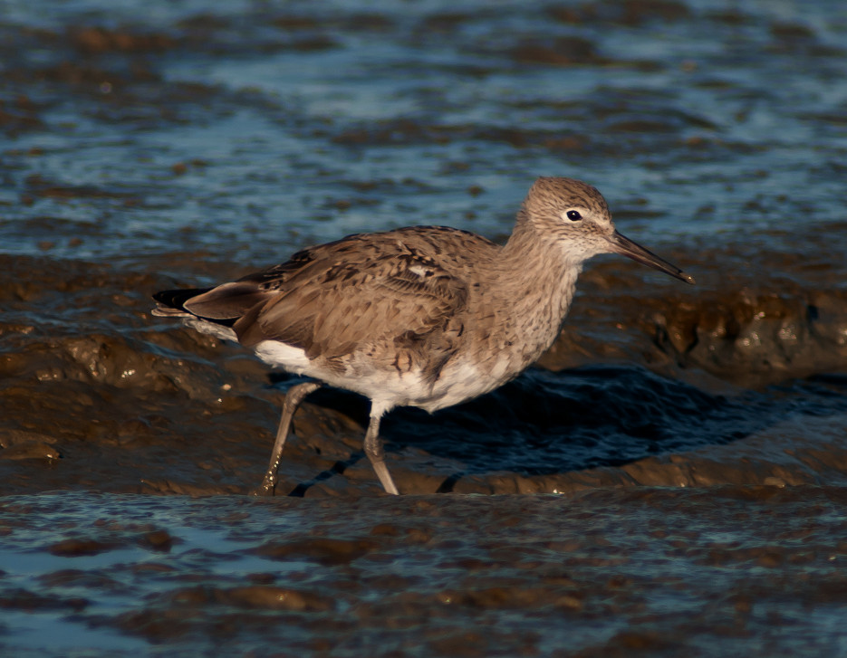
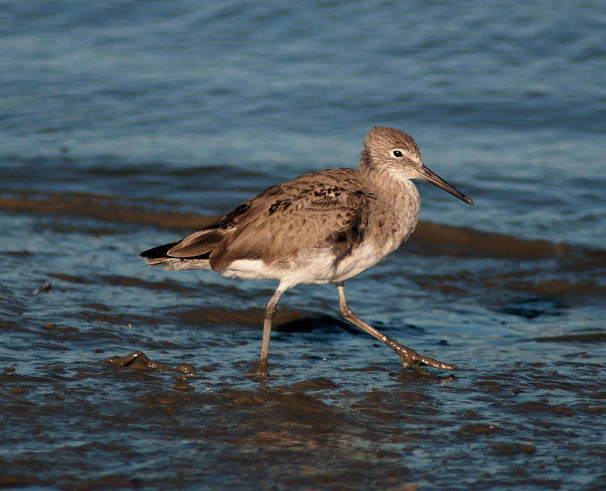
Willet # @Bodega Bay
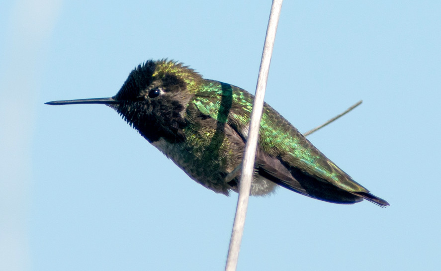
Hummingbird, Anna's 1 @Bodega Bay: Doran Park
Crow, American # @Marin Co.: Bodega Bay to Petaluma
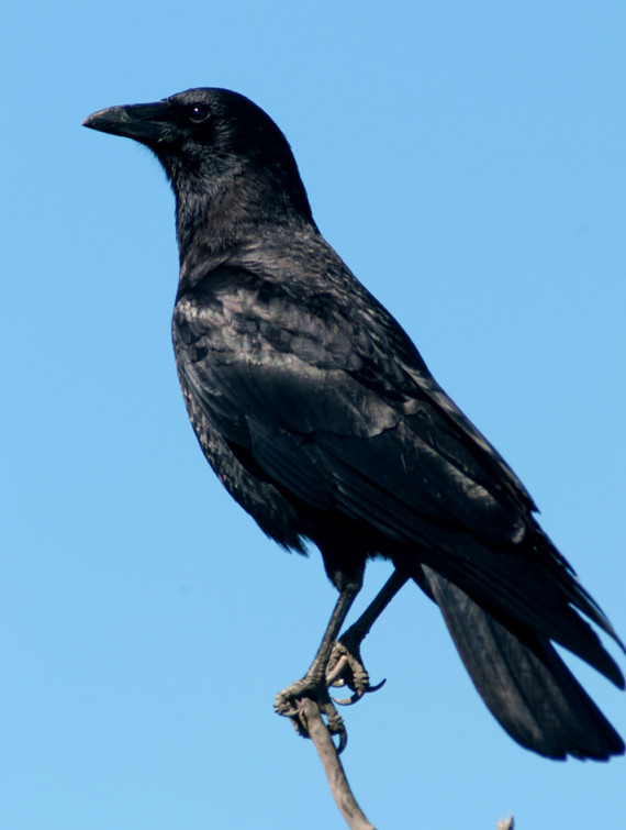
Raven, Common 1 @Marin Co.: Bodega Bay to Petaluma
Bushtit # @Bodega Bay: Doran Park
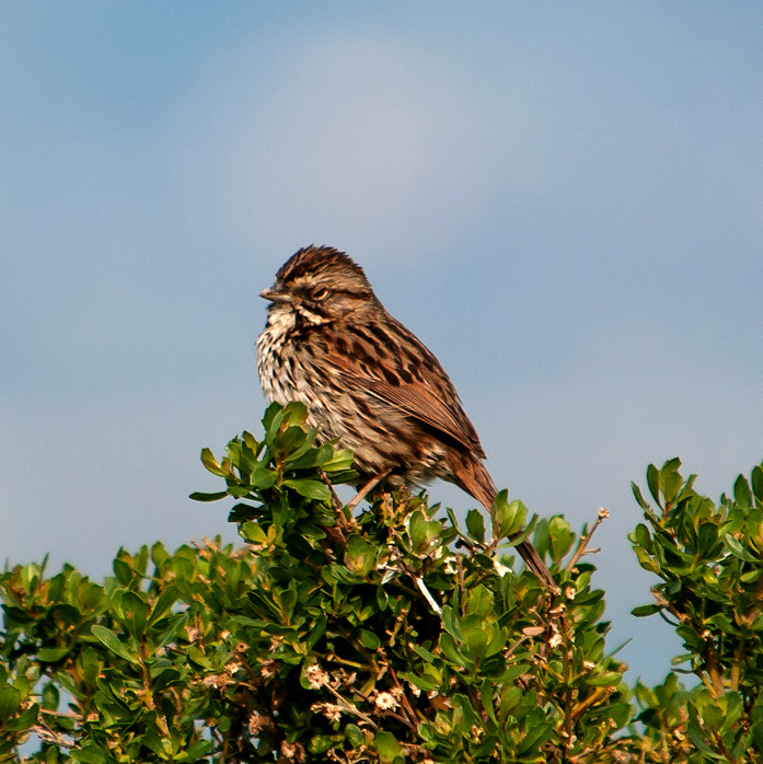
Sparrow, White-crowned # @Bodega Bay: Doran Park
Blackbird, Red-winged # @Marin Co.: Bodega Bay to Petaluma
Finch, House # @Marin Co.: Bodega Bay to Petaluma
2014-03-11: CA: Marin County
@Lim: Point Reyes NS: Limantour area
@Marin: Marin County
@MudHol: Point Reyes NS: Muddy Hollow Trail
@NicRes: Nicasio Reservoir
@PRNSHQ: Point Reyes National Seashore: Visitor Center
@road1: Petaluma to Point Reyes
@road2: Olema to Petaluma
Route
1015, Petaluma to Point Reyes, passing by Nicasio
Reservoir.
1105, Point Reyes visitor center.
1125, Limantour road.
1200, Limantour beach parking lot. Brief walk to the
beach (nothing going on), then a grueling hike the
length of the Muddy Hollow Trail, about 4.3 miles total
walking, new record since my June 2010 knee
replacement. Would have been longer (and a lot more
painful) except that a couple of nice ladies I met on
the trail saw me trudging back up a steep slope on the
paved road back to the parking lot and gave me a ride.
1630, leave Limantour parking lot, to Olema for a very
nice locavore dinner at the Farm House.
1820, leave Olema, back to Petaluma.
Goose, Canada # @Point Reyes NS: Limantour area
Gadwall # @Point Reyes NS: Limantour area
Wigeon, American # @Point Reyes NS: Limantour area
Mallard # @Point Reyes NS: Limantour area
Teal, American Green-winged # @Point Reyes NS: Limantour area
Bufflehead # @Point Reyes NS: Limantour area
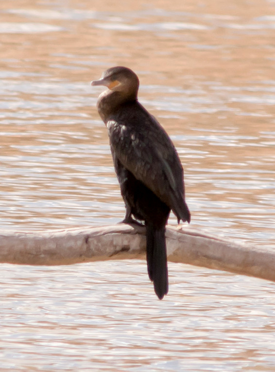
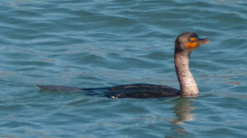
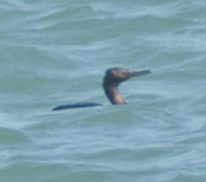
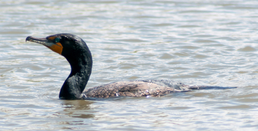
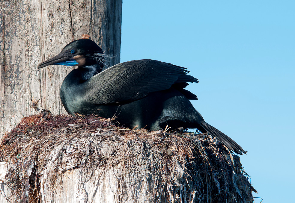
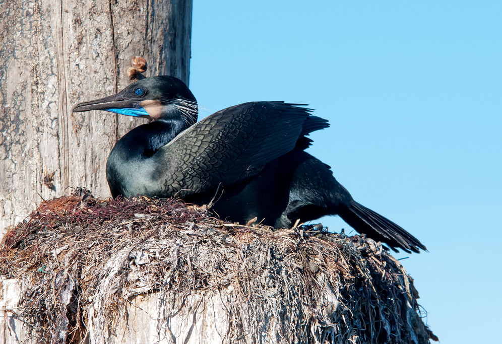
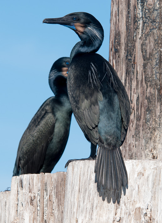
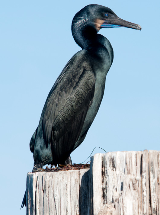
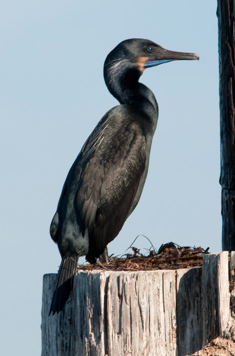
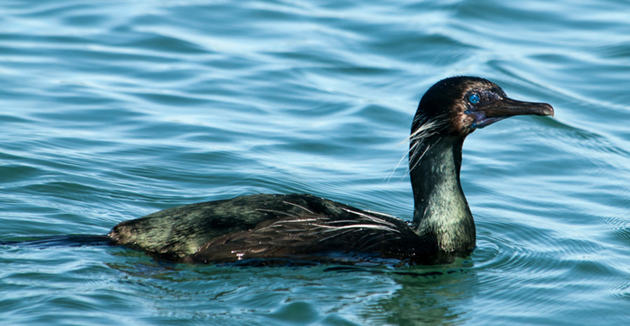
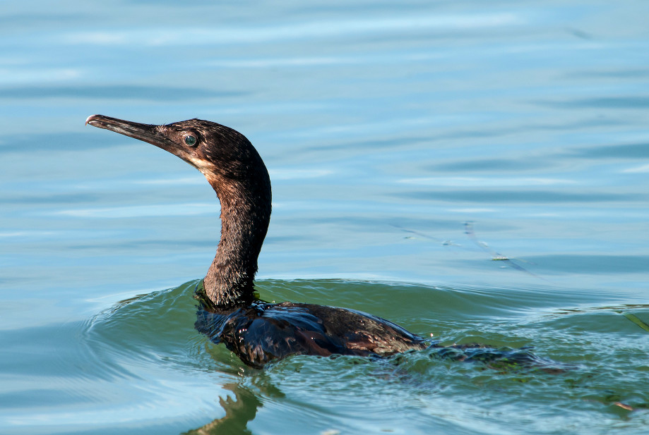
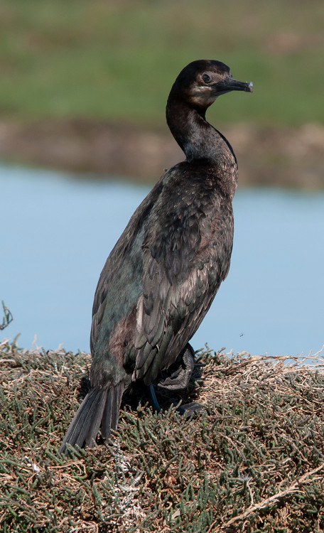
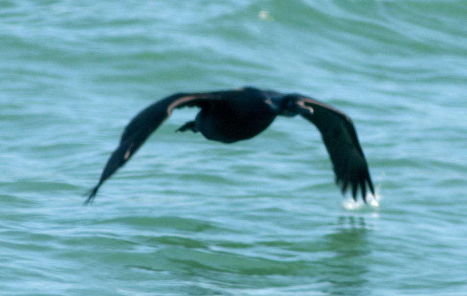
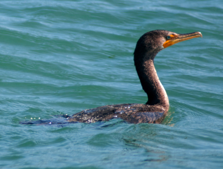
Cormorant, Double-crested 1 @Point Reyes NS: Limantour area
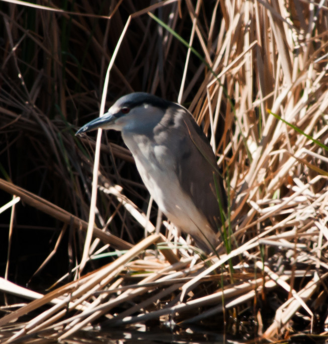
Heron, Great Blue 1 @Point Reyes NS: Limantour area
Egret, Great # @Point Reyes NS: Limantour area
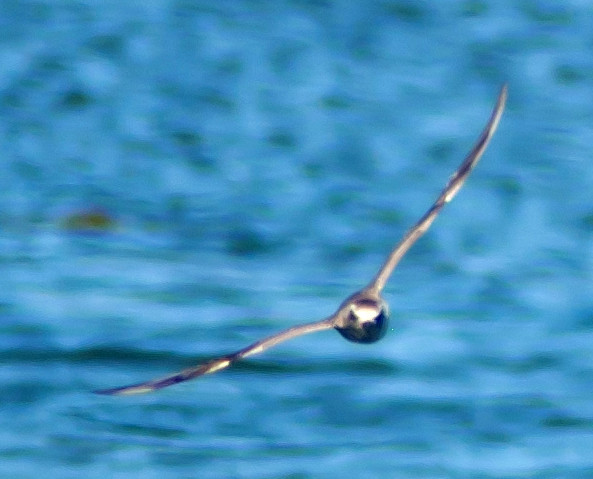
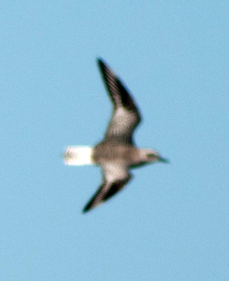
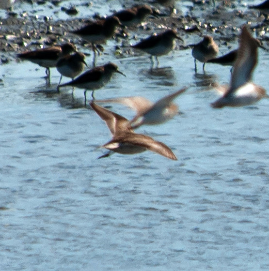
peep sp. # @Point Reyes NS: Limantour area
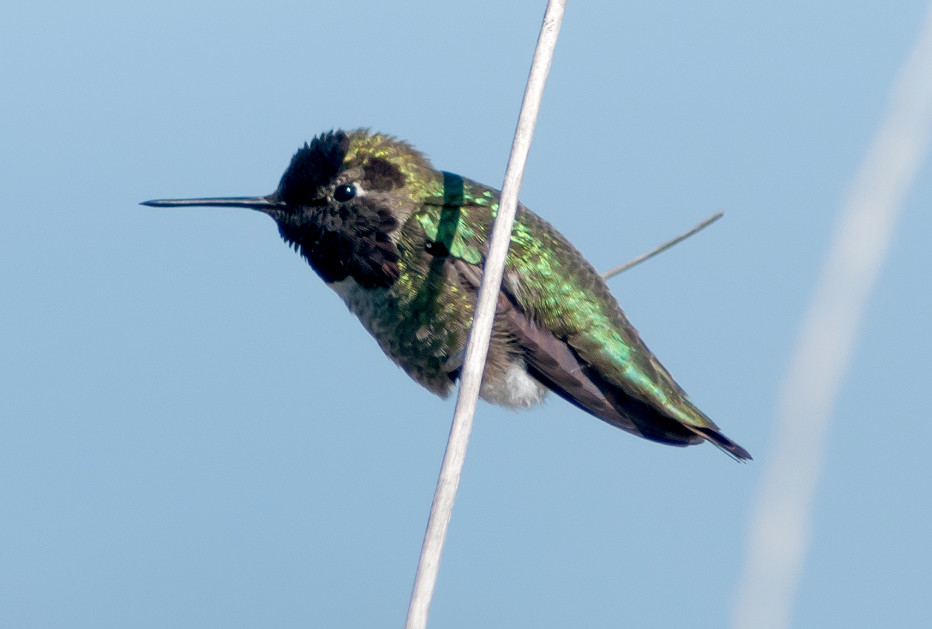
Hummingbird, Anna's 1 @Point Reyes NS: Limantour area
Jay, Steller's # @Point Reyes NS: Limantour area
Swallow, Tree # @Nicasio Reservoir
Kinglet, Ruby-crowned # @Point Reyes NS: Muddy Hollow Trail
Towhee, Spotted 1 @Point Reyes NS: Muddy Hollow Trail
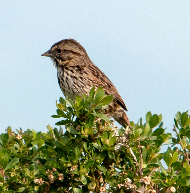
Sparrow, White-crowned # @Point Reyes NS: Limantour area
Blackbird, Red-winged # @Petaluma to Point Reyes
Blackbird, Brewer's # @Petaluma to Point Reyes
2014-03-12: CA: Marin County
@BolLag: Bolinas Lagoon
@DrakesB: Point Reyes NS: Drake's Beach
@Marin: Marin County
@MendR: Point Reyes NS: Mendoza Ranch
@PRNS: Point Reyes National Seashore
@road1: Petaluma to Drake Boulevard
@road2: Inverness to Olema
@road3: Olema to Bolinas Lagoon
Route
Mostly driving today. Drove out to Nuñez and
Mendoza ranches, brief visit to Drakes Beach, then most
of the way out the road to the north. Not a lot of
bird action. In retrospect I should have gone back for
another day at Bodega Bay.
1150, leave Petaluma.
1440, at Drake's Beach.
1505, leave Drake's Beach.
1635, arrive Inverness.
1715, Olema and Stinson Beach.
1725, Bolinas Lagoon.
Mallard # @Point Reyes National Seashore
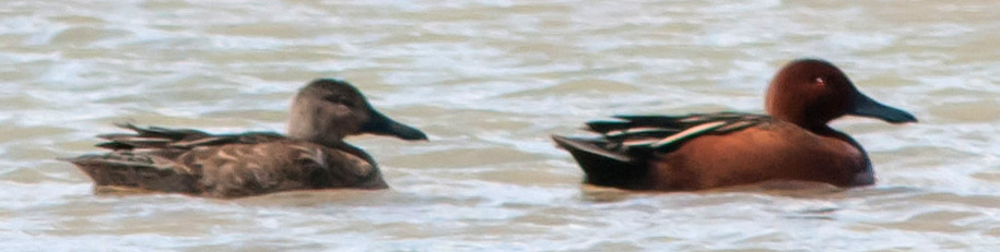
Teal, Cinnamon # @Point Reyes National Seashore
Teal, American Green-winged # @Point Reyes National Seashore
Scaup, Lesser # @Point Reyes National Seashore
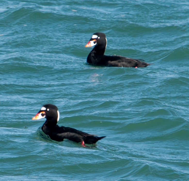
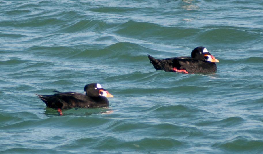
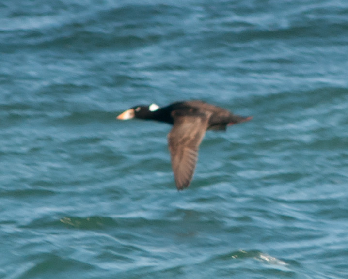
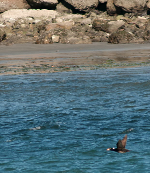
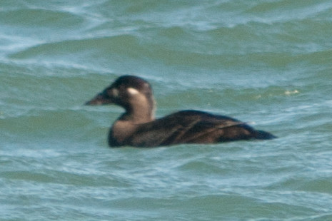
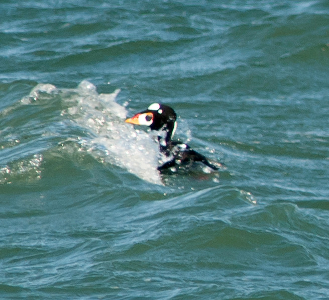
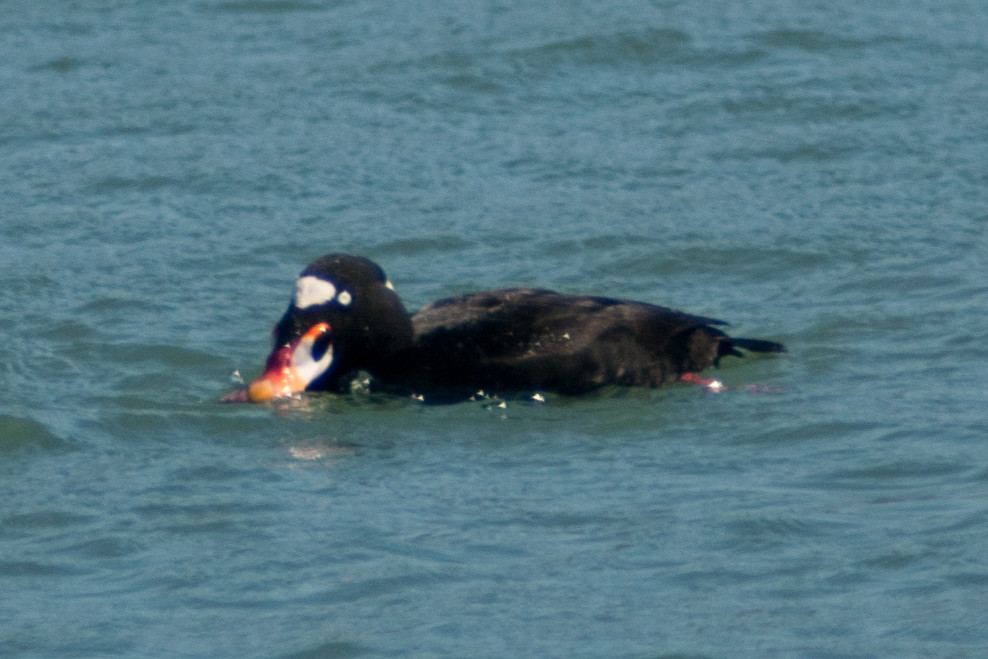
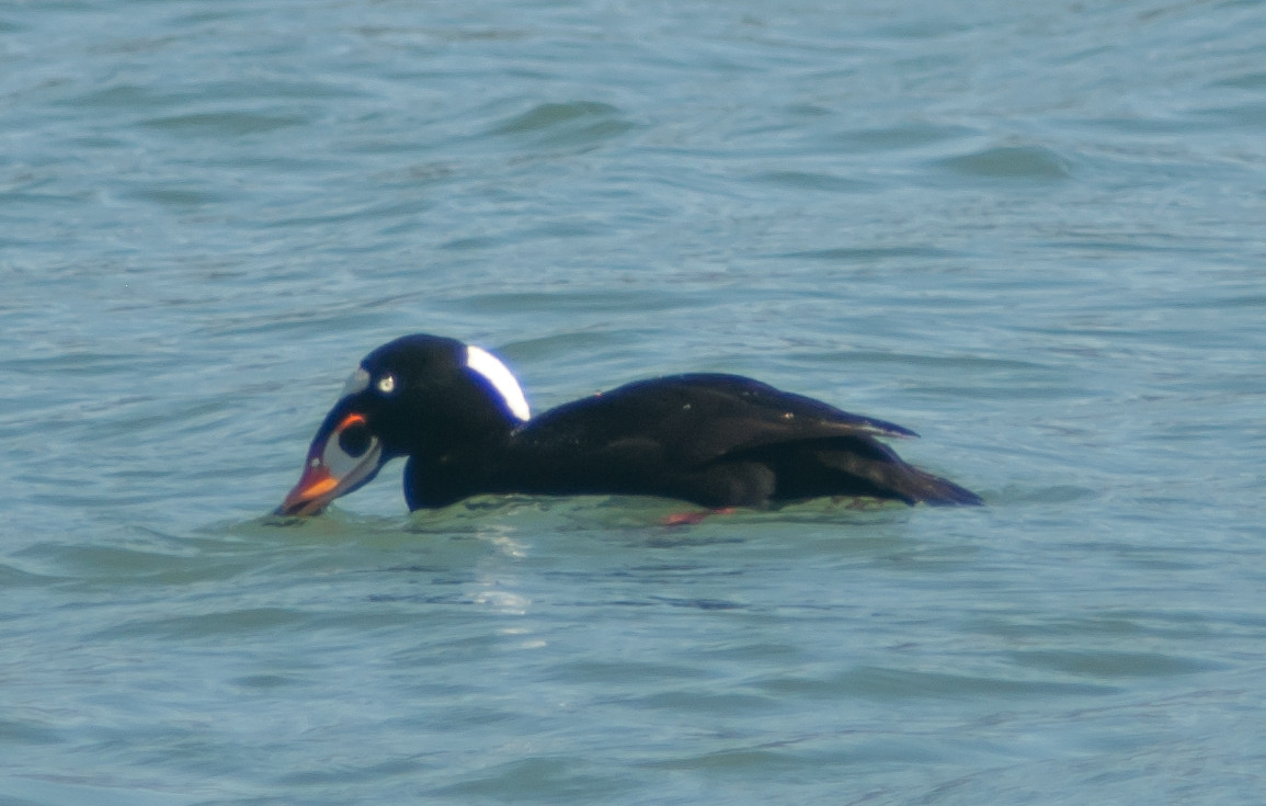
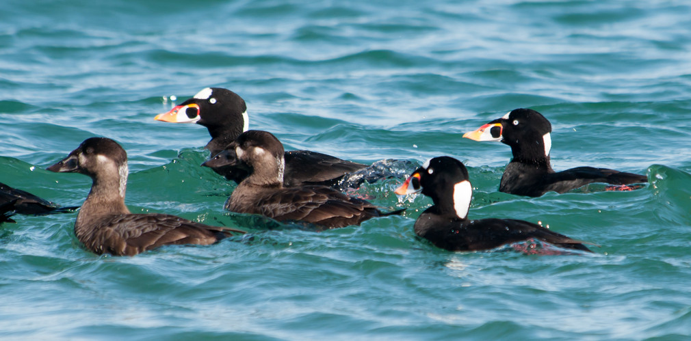
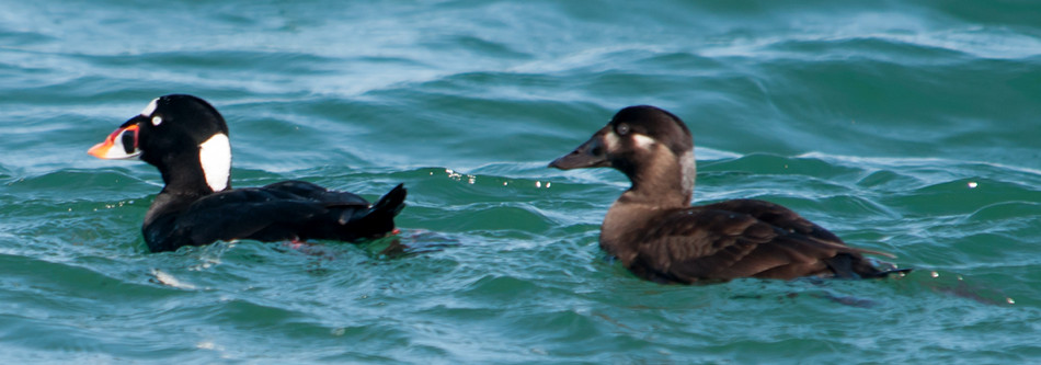
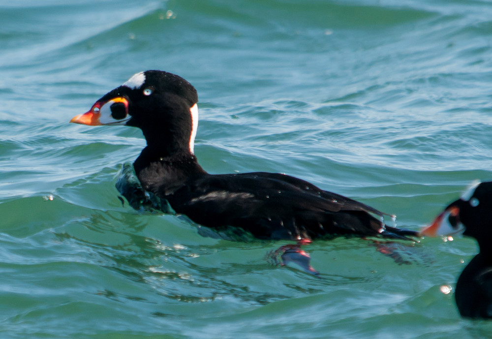
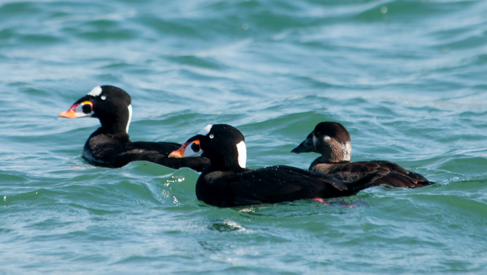
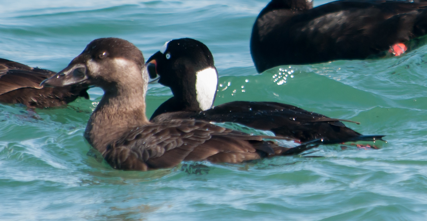
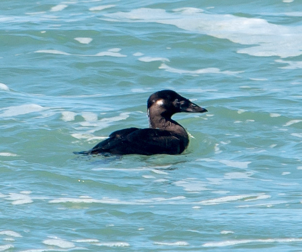
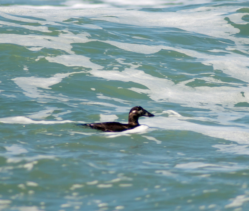
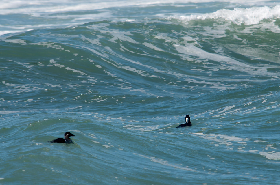
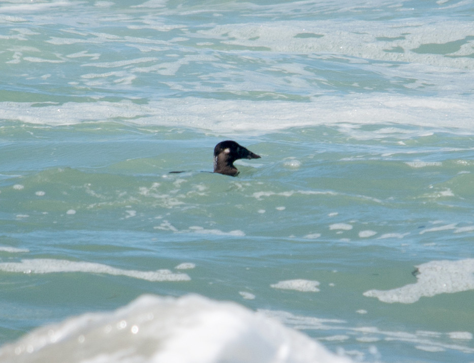
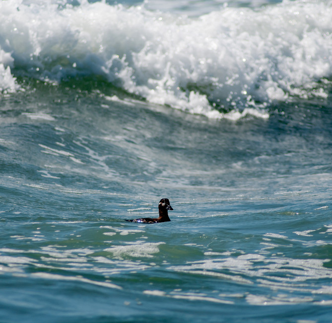
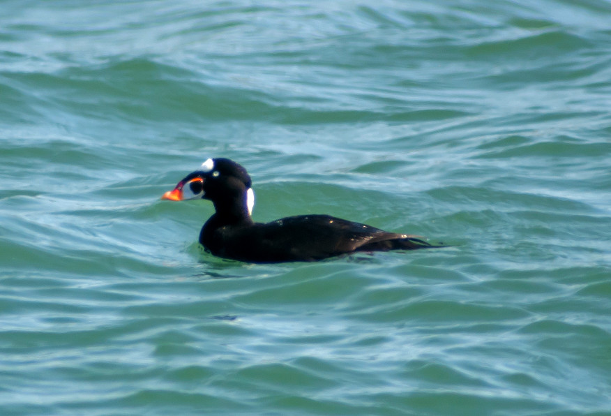
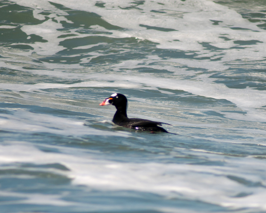
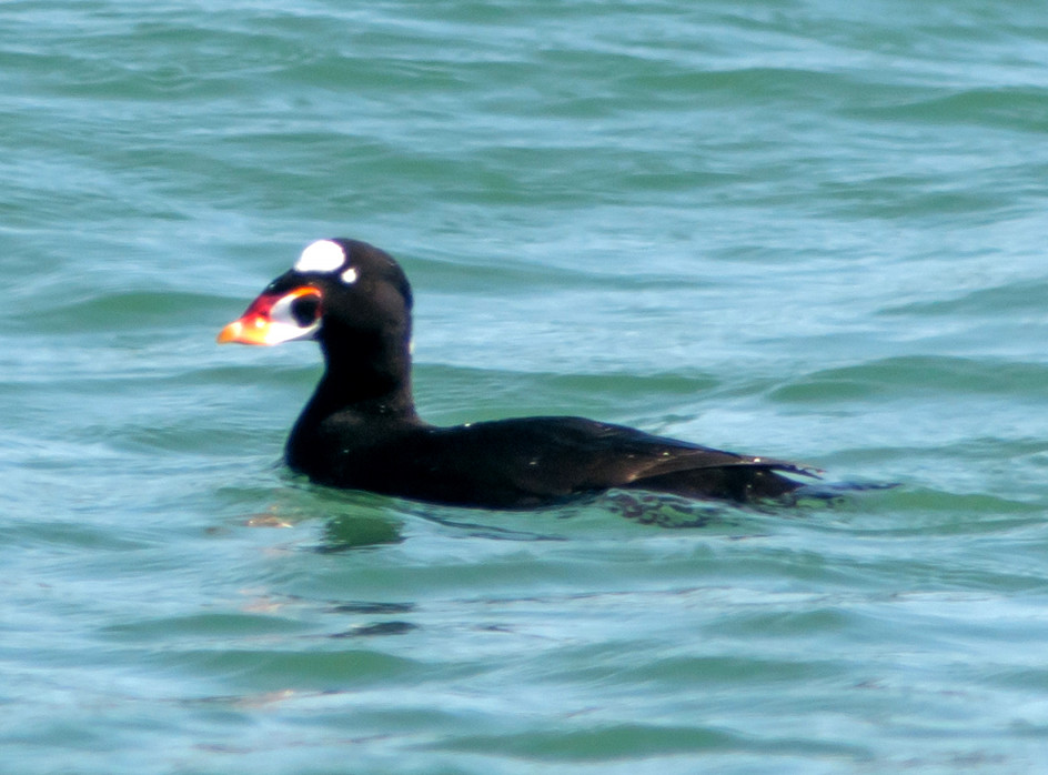
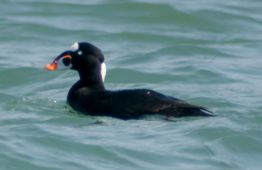
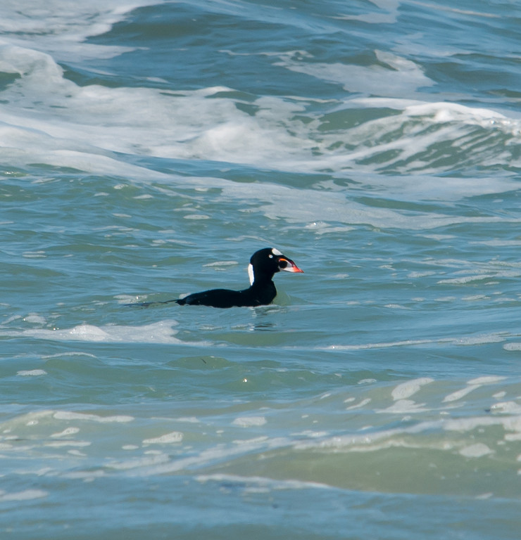
Scoter, Surf # @Point Reyes NS: Drake's Beach
Bufflehead 1 @Point Reyes NS: Mendoza Ranch
Duck, Ruddy # @Point Reyes National Seashore
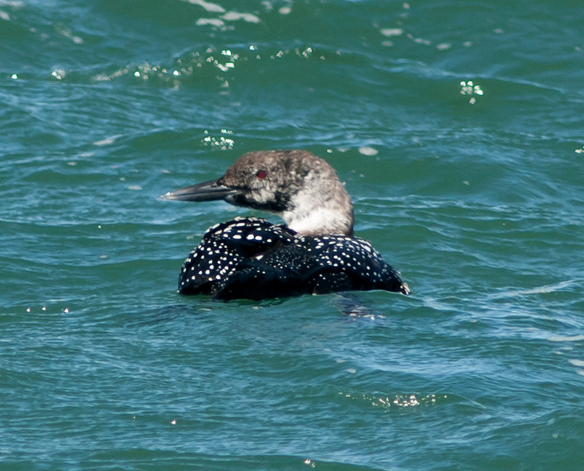
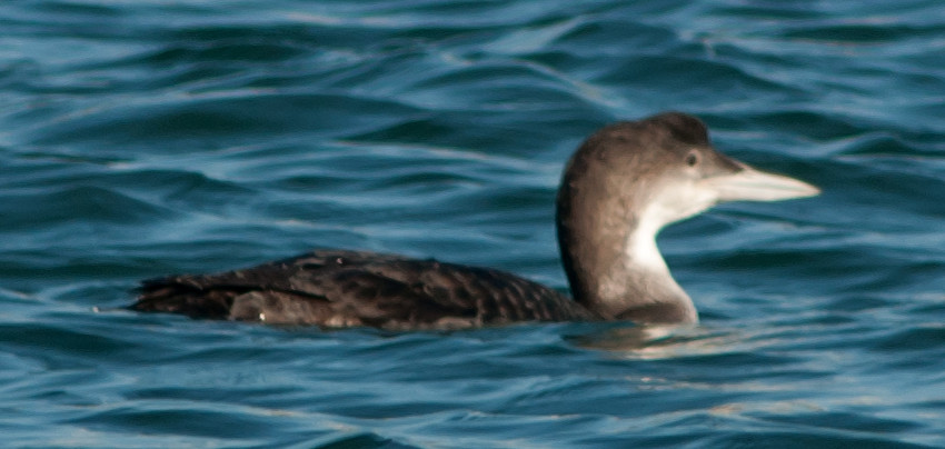
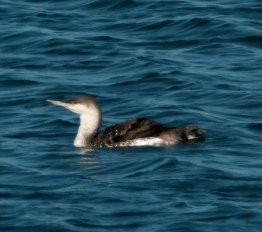
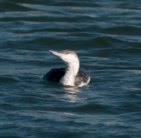
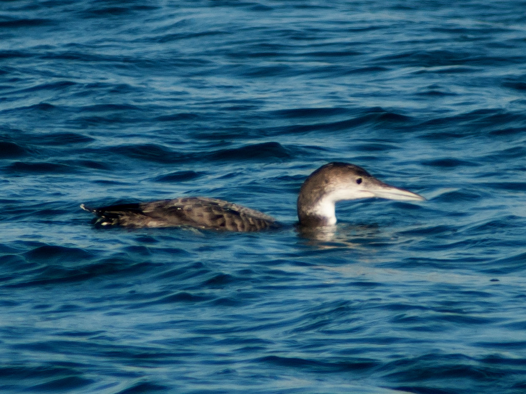
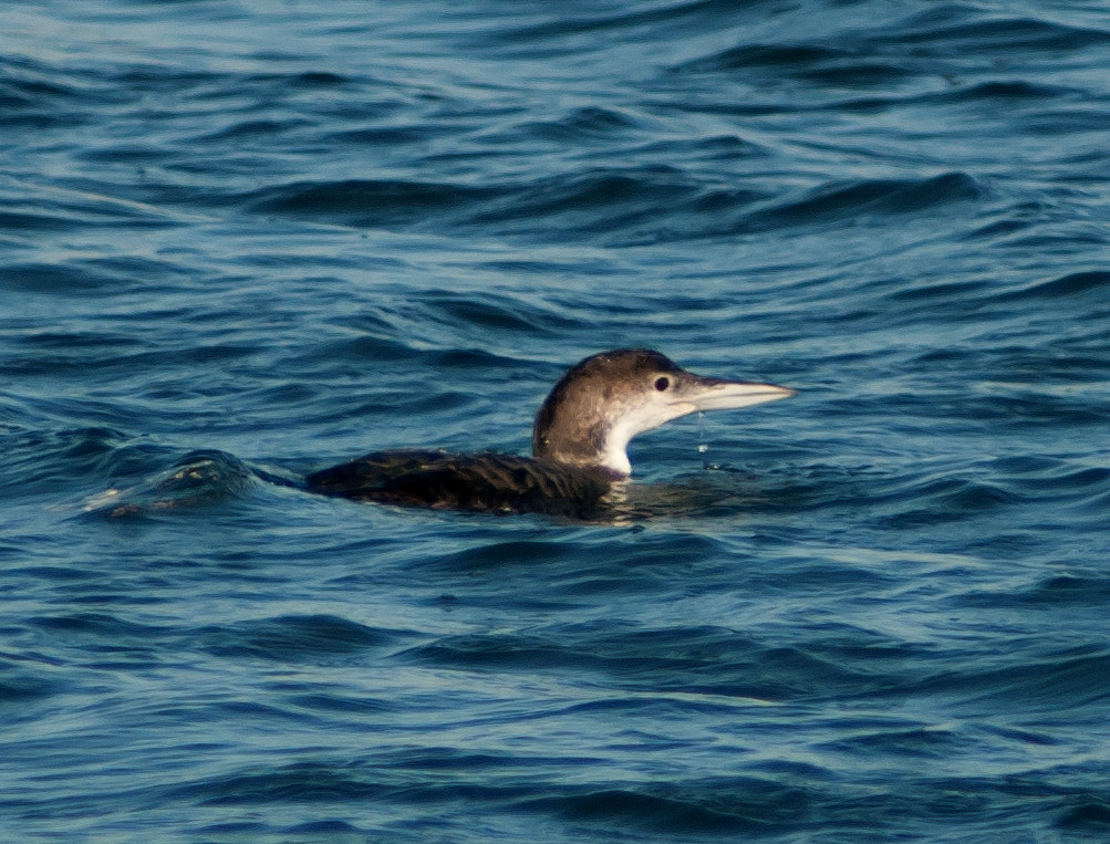
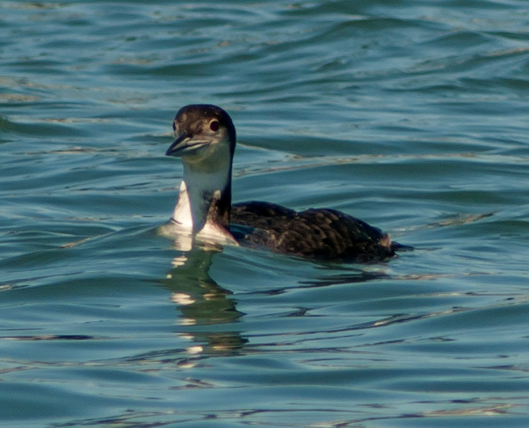
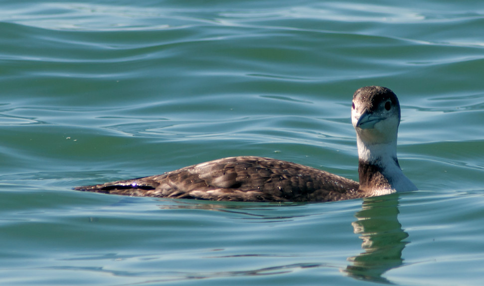
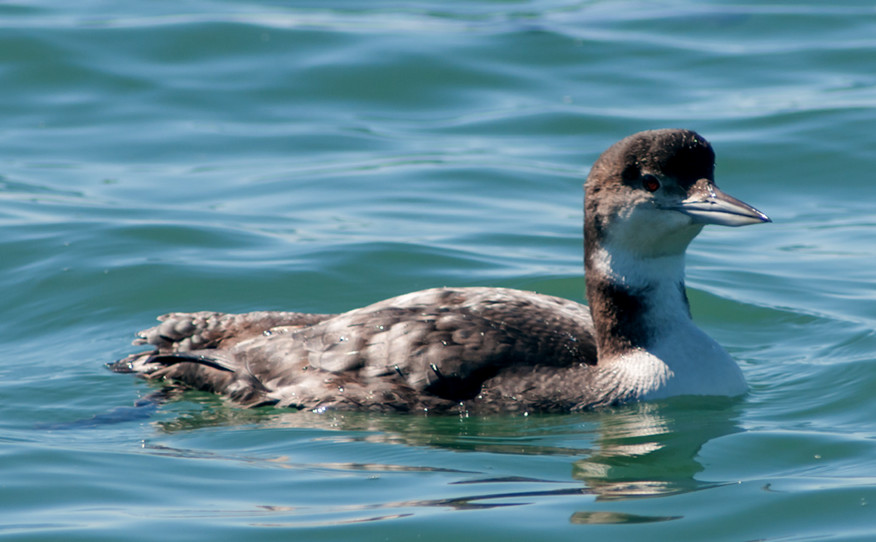
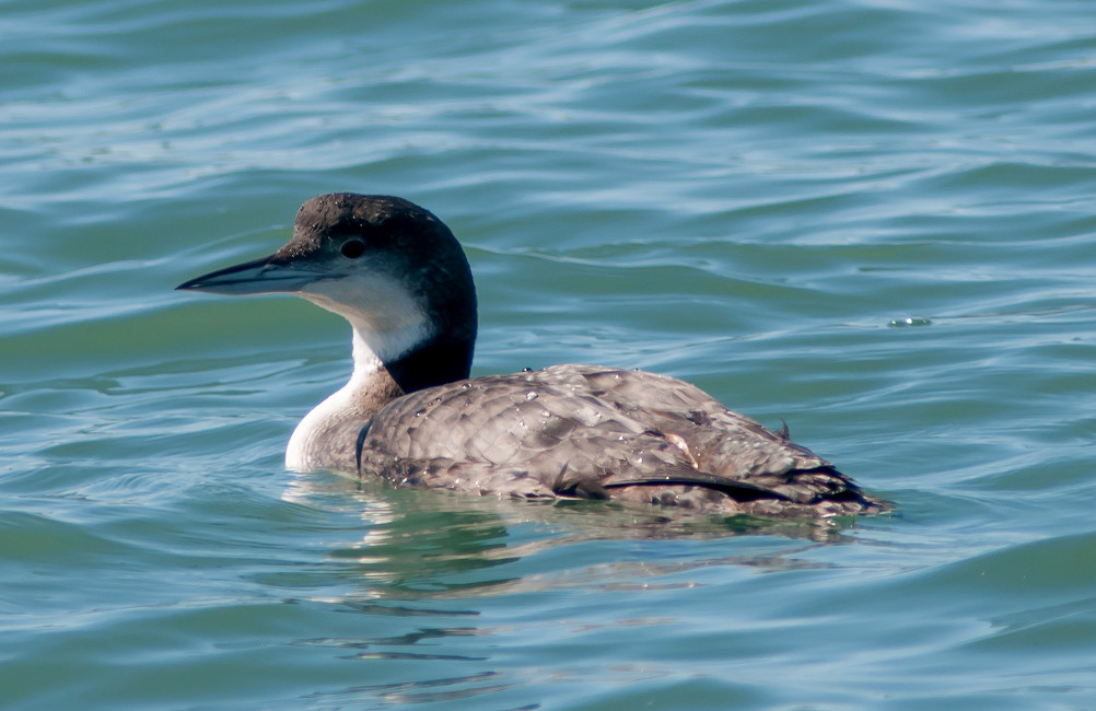
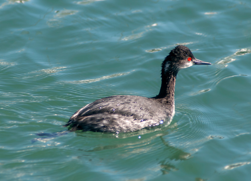
Loon, Pacific 1 @Point Reyes NS: Drake's Beach
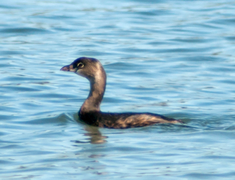
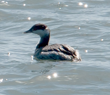
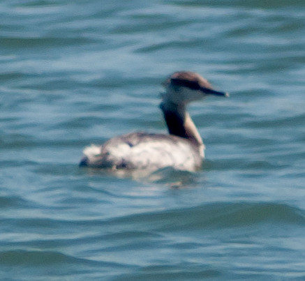
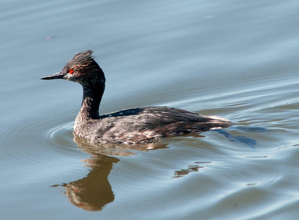
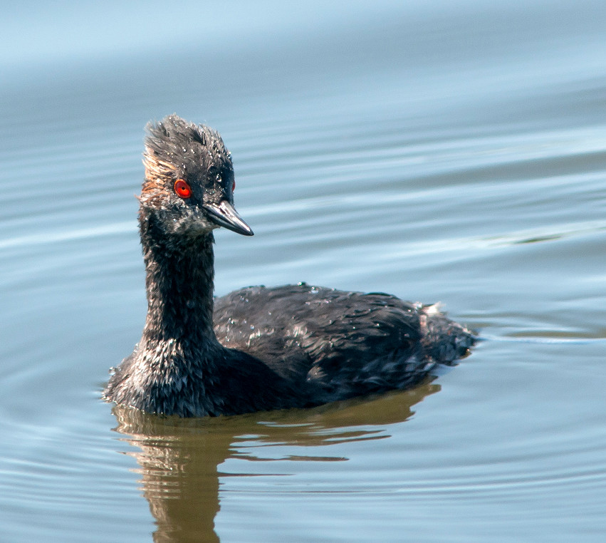
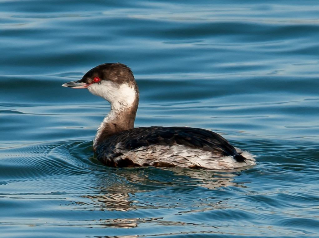
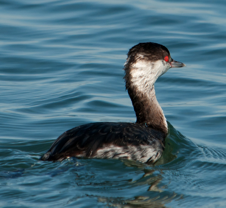
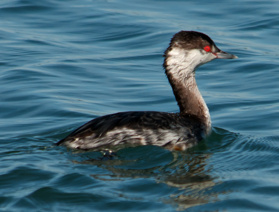
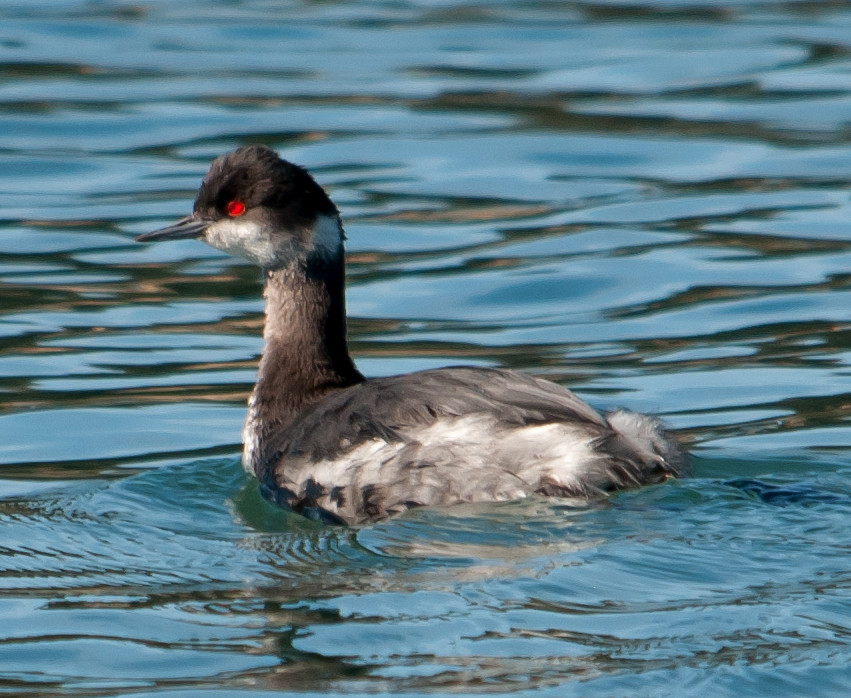
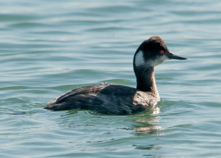
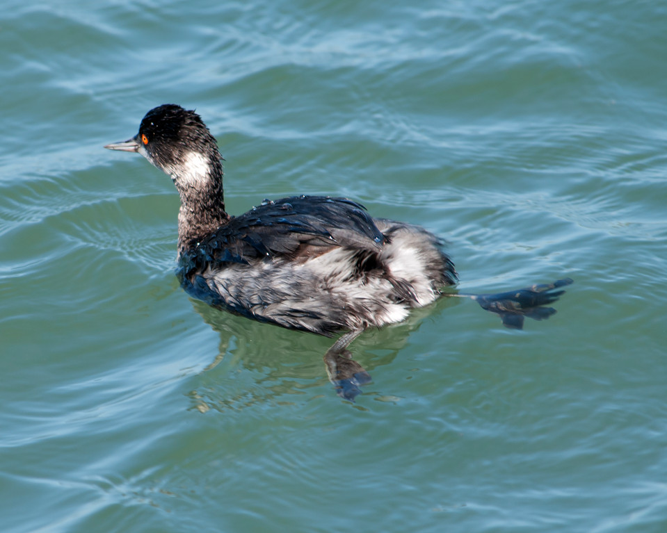
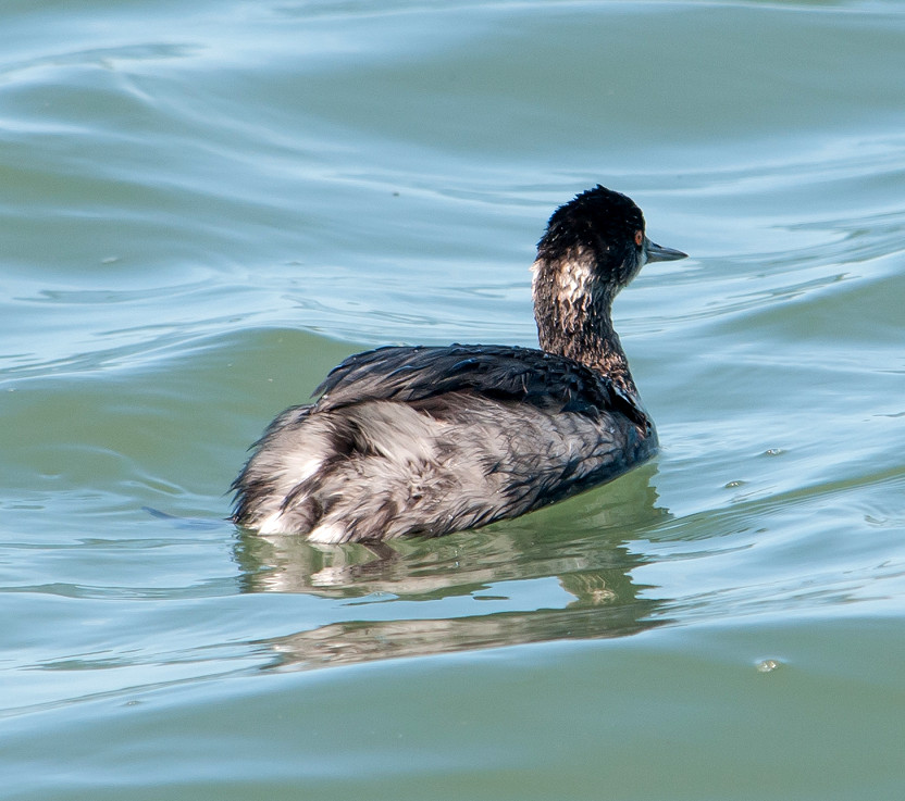
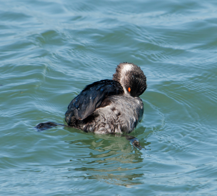
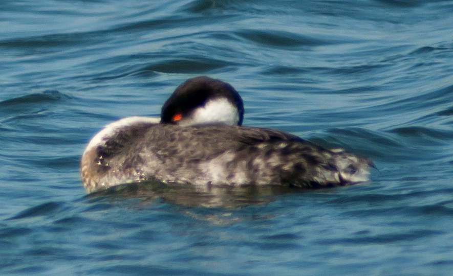
Grebe, Eared 1 @Point Reyes NS: Drake's Beach
Heron, Great Blue 1 @Point Reyes National Seashore
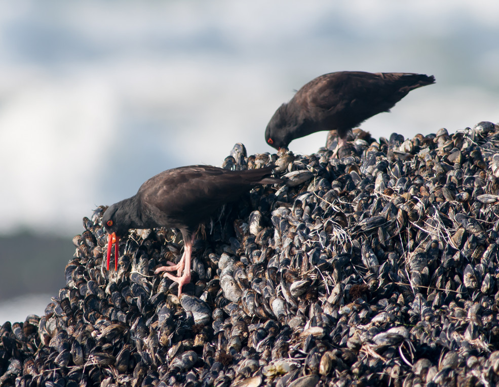
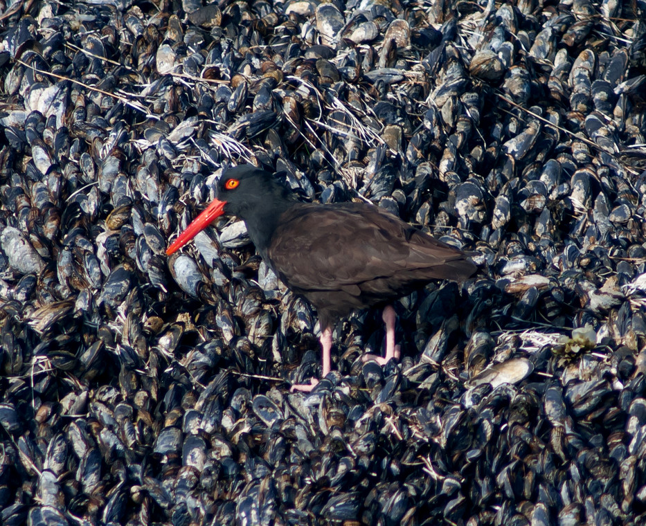
Egret, Great # @Bolinas Lagoon
Egret, Snowy # @Bolinas Lagoon
Osprey 1 @Inverness to Olema
Kestrel, American 1♂ @Point Reyes National Seashore
Coot, American # @Point Reyes National Seashore
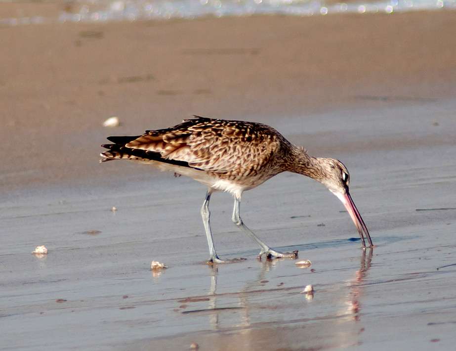
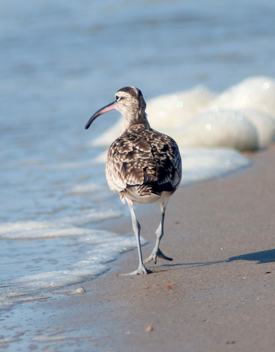
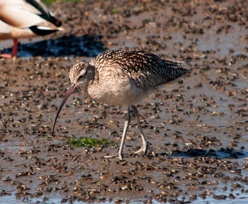
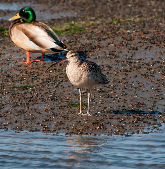
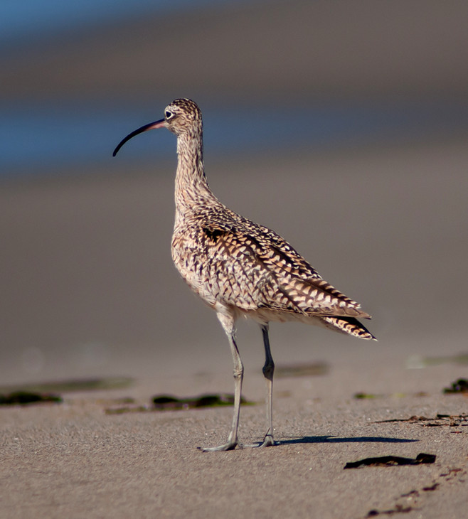
Whimbrel # @Bolinas Lagoon
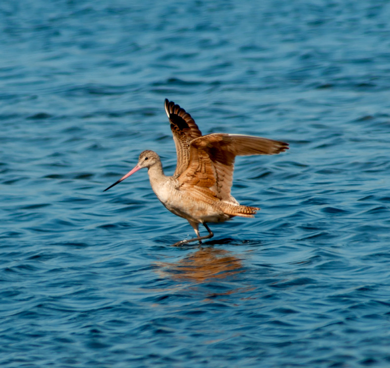
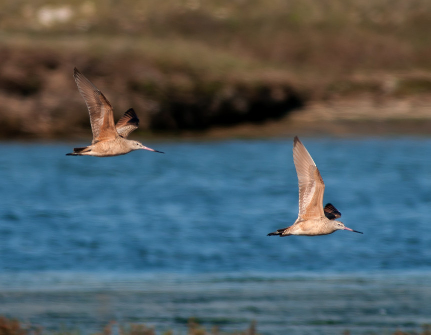
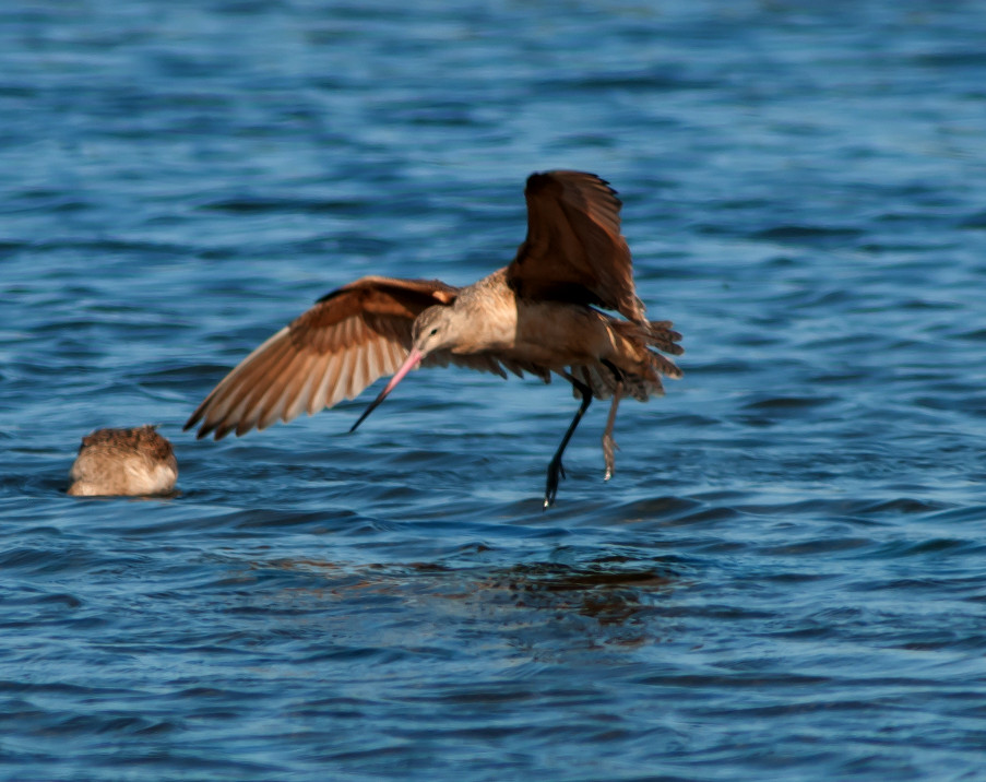
Godwit, Marbled # @Inverness to Olema
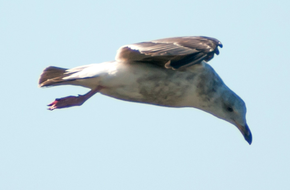
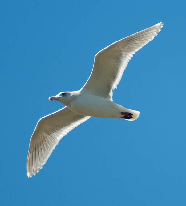
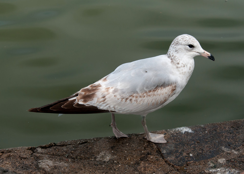
Gull, Mew # @Inverness to Olema
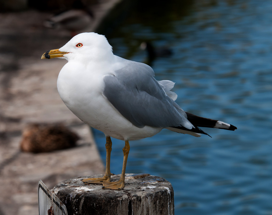
Gull, Ring-billed # @Inverness to Olema
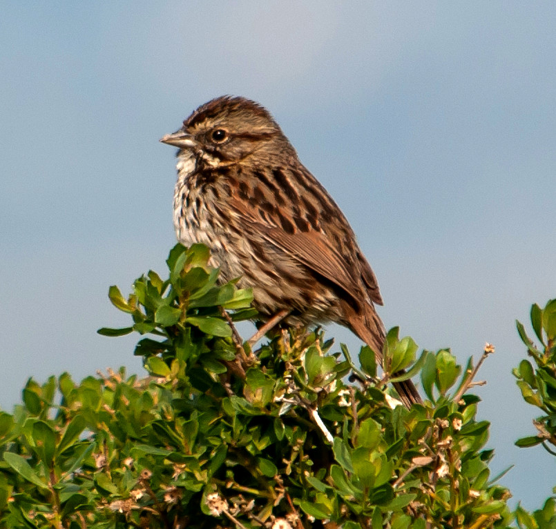
Sparrow, White-crowned # @Point Reyes National Seashore
Meadowlark, Western 1 @Point Reyes National Seashore
Cowbird, Brown-headed # @Point Reyes National Seashore
Finch, House # @Point Reyes National Seashore
2014-03-13: CA: Pillar Point to Pescadero Rock
@Casc: Ano Nuevo Area: Cascade Creek Trail
GPS: 370842.9n 1222010.4w
Gate to beach access on CA-1, formerly at mile marker
SM 3.88 in San Mateo County.
@HMB: Half Moon Bay
@PescM: Pescadero Marsh
@PescSB: Pescadero State Beach
@PigPt: Pigeon Point
@Pillar: Pillar Point
@day: Pillar Point to Pescadero Rock
@road1: CA-1: Pomponio to Pescadero Creek
@road2: CA-1: Pescadero Creek to Cascade Creek Trail
Route
1100, leave Sunnyvale.
1215, arrive Pillar Point.
1400, arrive at Cascade Creek Trail. Walked down to the
beach, though getting down to the actual beach was a
bit dicey for my mobility. Again, nothing happening on
the beach.
1440, leave the beach.
1530, arrive at Pigeon Point.
1620, head north, worked Pescadero State Beach.
1730, back through Half Moon Bay.
Mallard # @CA-1: Pescadero Creek to Cascade Creek Trail
Teal, Cinnamon # @CA-1: Pescadero Creek to Cascade Creek Trail
Duck, Ruddy # @Half Moon Bay
Heron, Great Blue 2 @Pillar Point
Egret, Great # @Pillar Point
Vulture, Turkey 1 @Ano Nuevo Area: Cascade Creek Trail
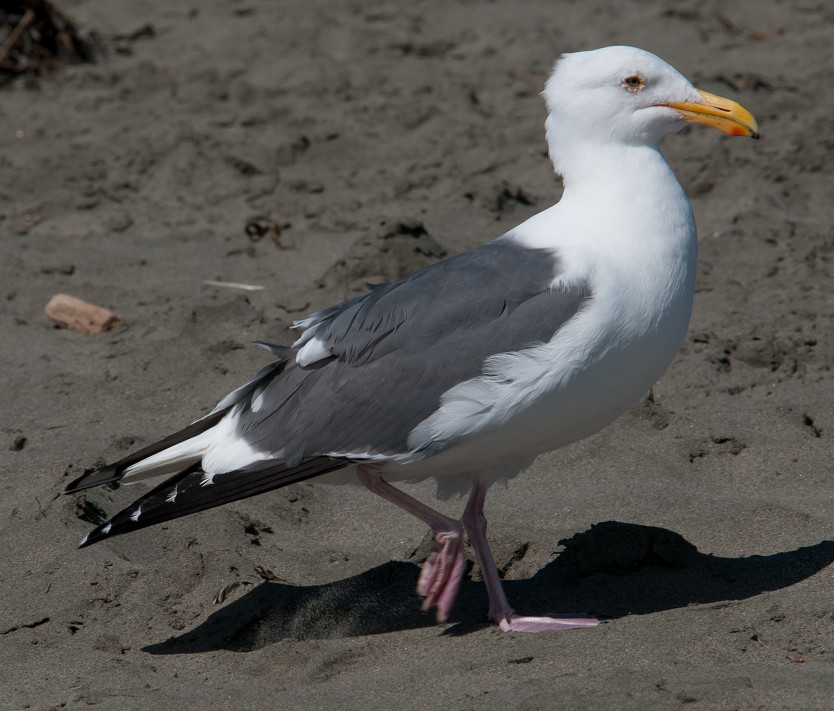
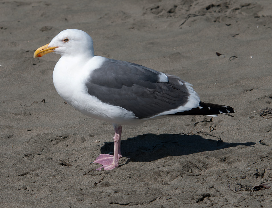
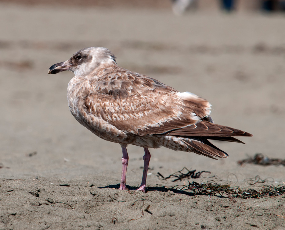
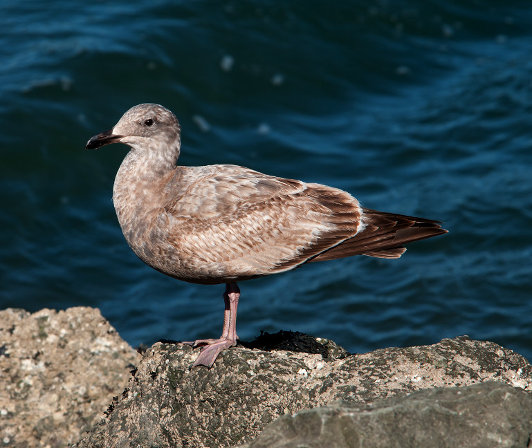
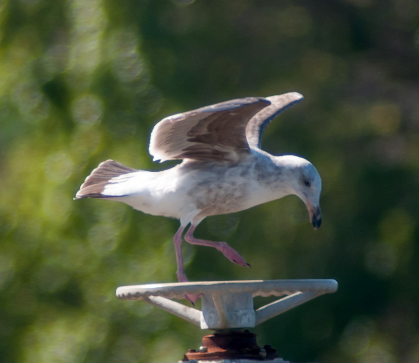
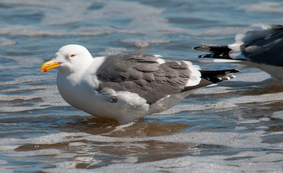
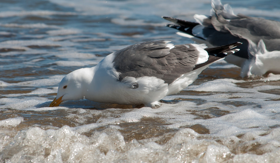
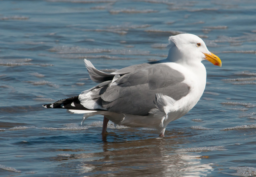
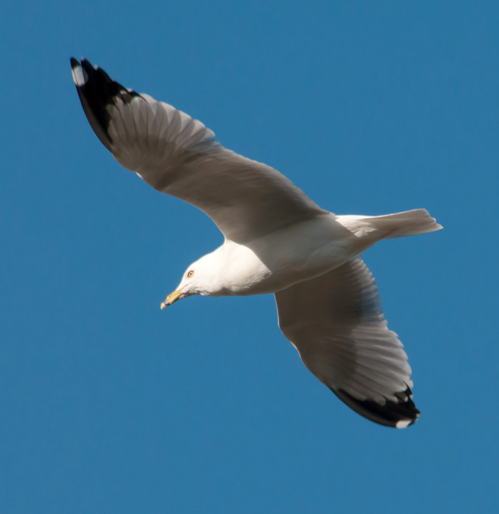
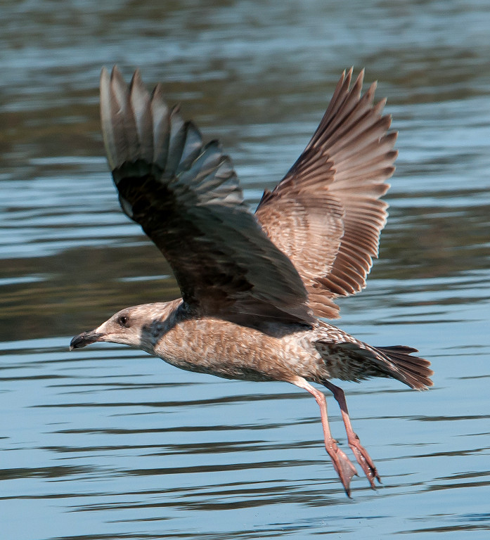
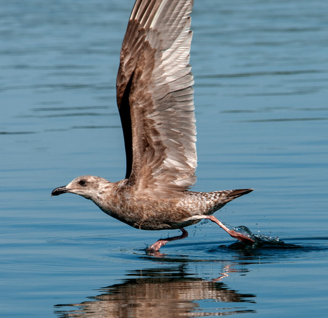
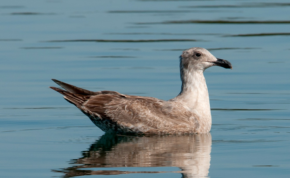
Gull, Western # @Ano Nuevo Area: Cascade Creek Trail
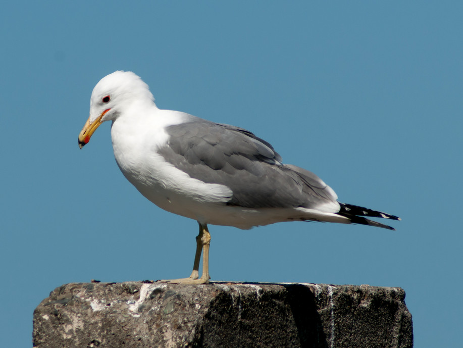
Gull, Glaucous-winged # @Ano Nuevo Area: Cascade Creek Trail
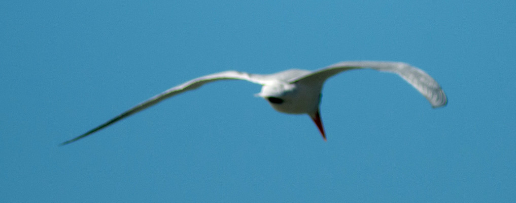
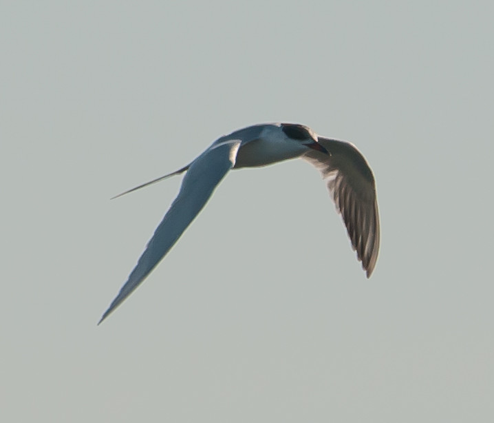
Tern, Caspian 1 @Ano Nuevo Area: Cascade Creek Trail
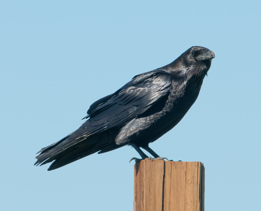
Raven, Common # @Pillar Point
Sparrow, White-crowned # @Ano Nuevo Area: Cascade Creek Trail
Blackbird, Brewer's # @CA-1: Pomponio to Pescadero Creek
Finch, House # @Pillar Point
2014-03-14: CA: Palo Alto Baylands
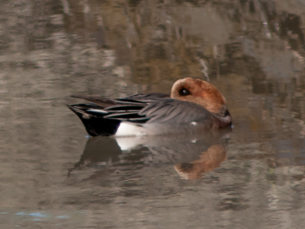
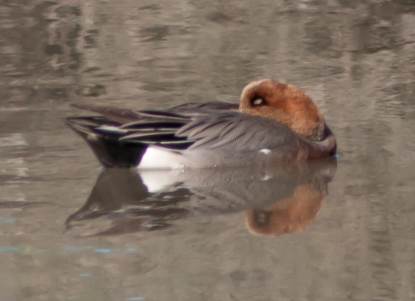
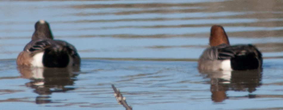
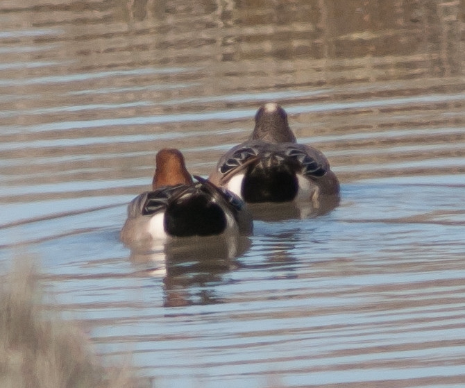
Notable: Eurasian Wigeon
@MVSP: Mountain View: Shoreline Park
@PAB: Palo Alto Baylands
Sadly, the viewing platform, where I had the birdwatching
epiphany that got me started on the road to serious
birding, is no longer open. The boardwalk out to the
viewing platform is in ramshackle condition, has been
closed for months, and is unlikely to open anytime soon.
According the to sign at the point of closure, there is
no money, and the regulatory barriers of construction in
a sensitive wetland are said to be formidable. Next town
over, Google money has paid to tart up the huge Shoreline
complex to a fare-thee-well. Isn't there any industry
money in Palo Alto any more?
@PADP: Palo Alto Duck Pond
Route
~1100, arrive Baylands gate.
1150, worked the Palo Alto Duck Pond.
1222, on to Baylands proper, general walking around
where there is still access.
1500, stop at the flood basin access at Matadero Creek.
1555, Mountain View Shoreline.
1645, back to Baylands until the light was failing.
An interpretive sign suggest that small blue butterflies here are
Pigmy Blues.
Shoveler, Northern # @Palo Alto Baylands
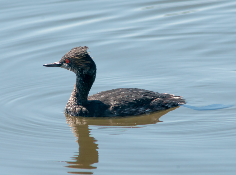
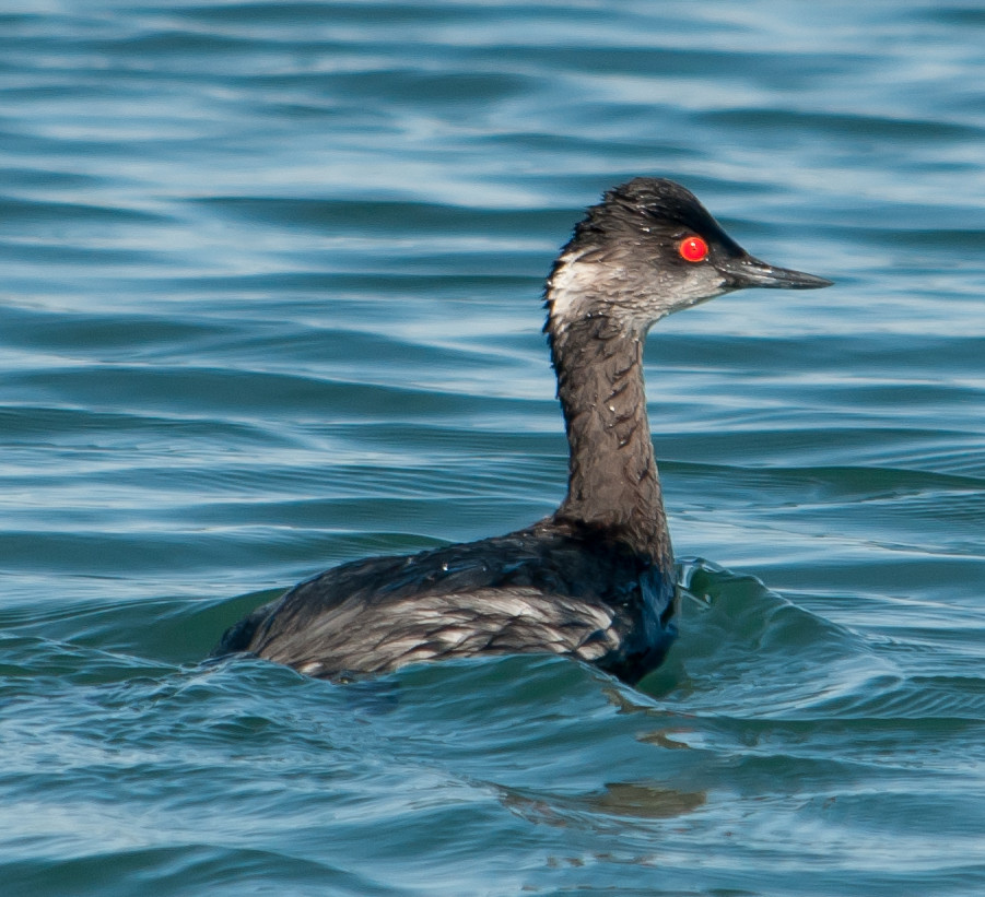
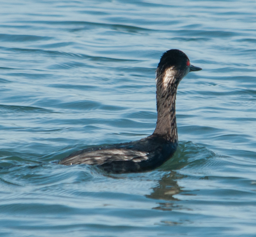
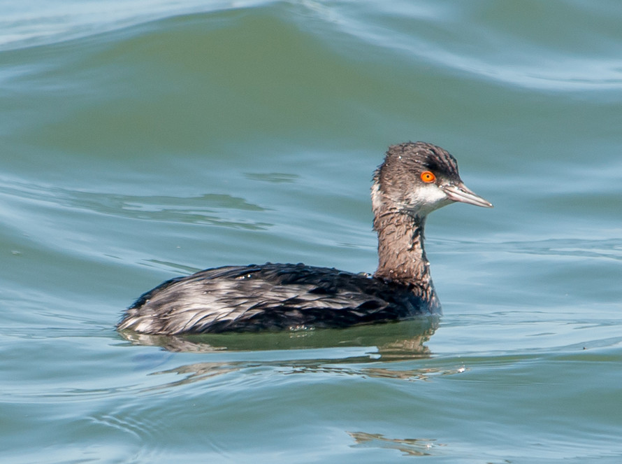
Grebe, Eared 1 @Mountain View: Shoreline Park
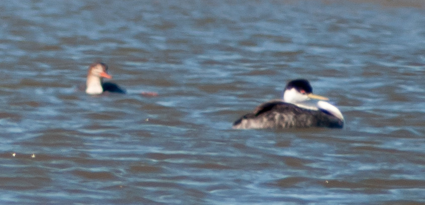
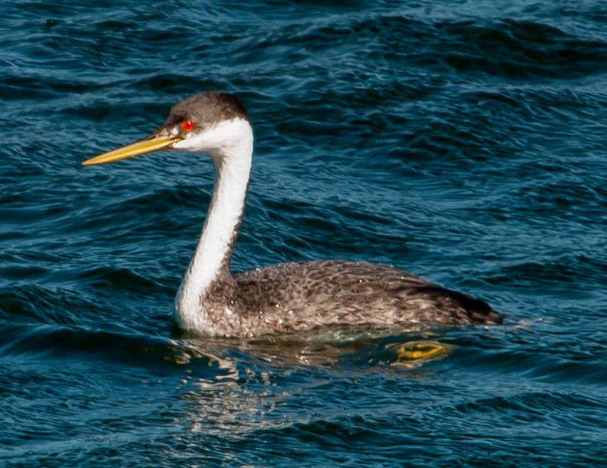
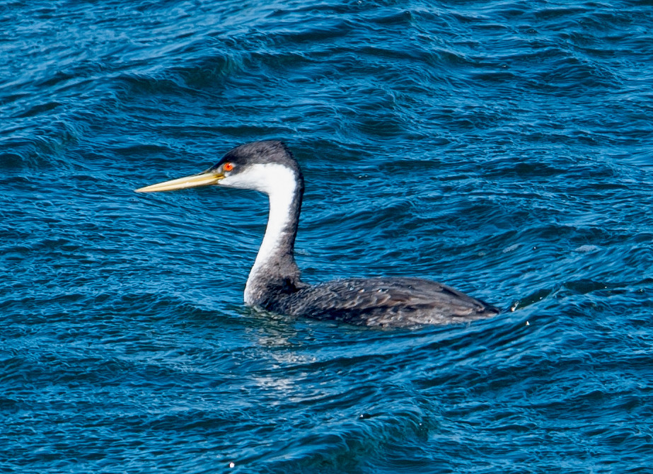
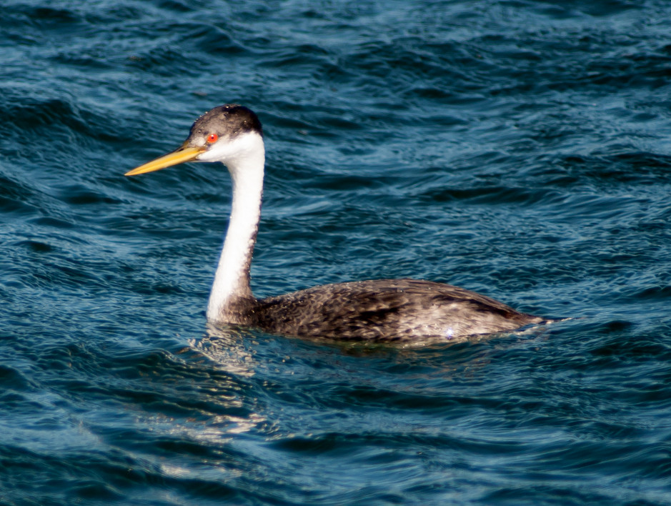
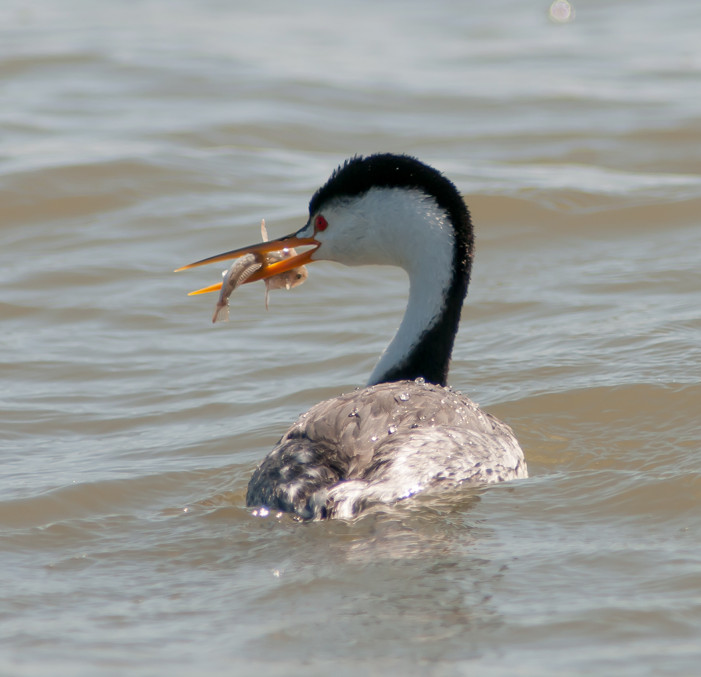
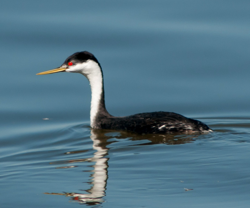
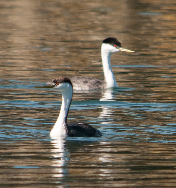
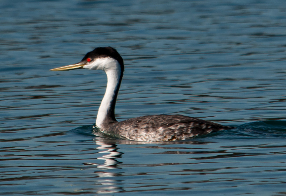
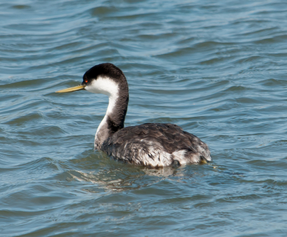
Grebe, Western 1 @Mountain View: Shoreline Park
Egret, Great 1 @Palo Alto Baylands
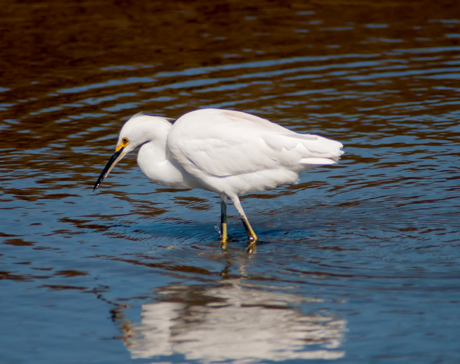
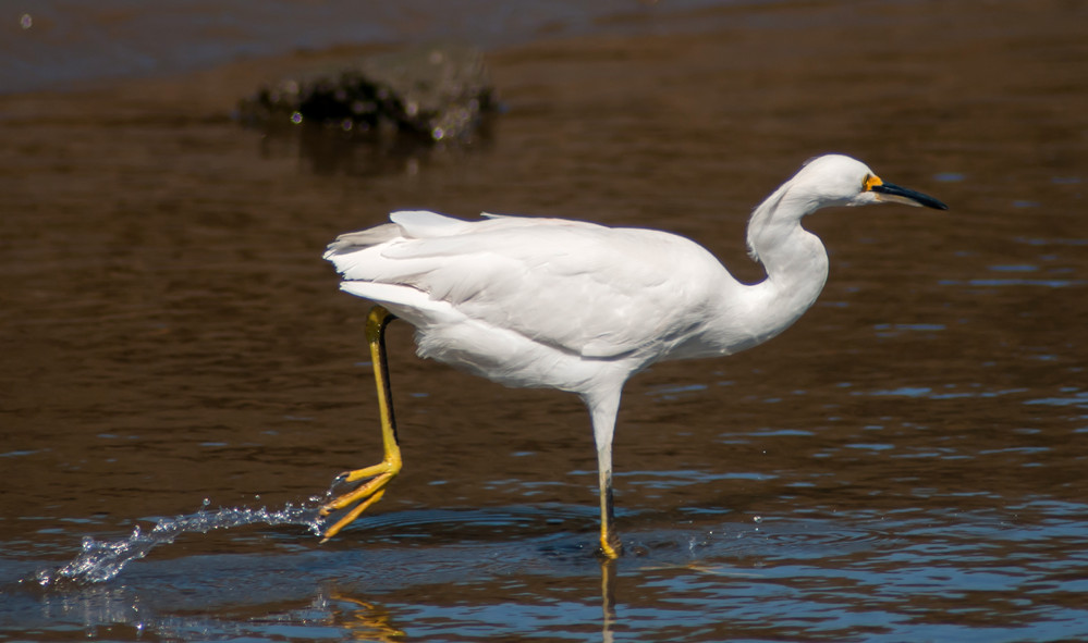
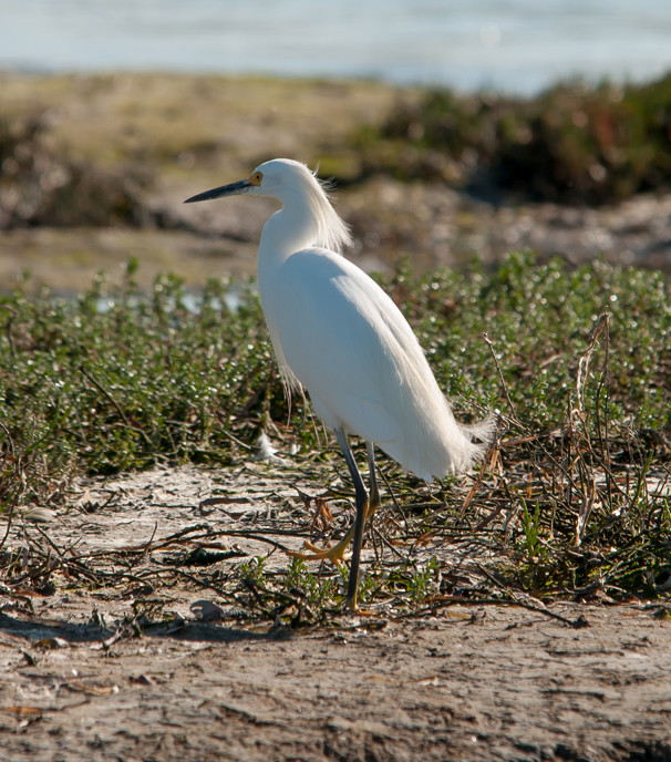
Egret, Snowy 1 @Palo Alto Baylands
Coot, American # @Palo Alto Baylands
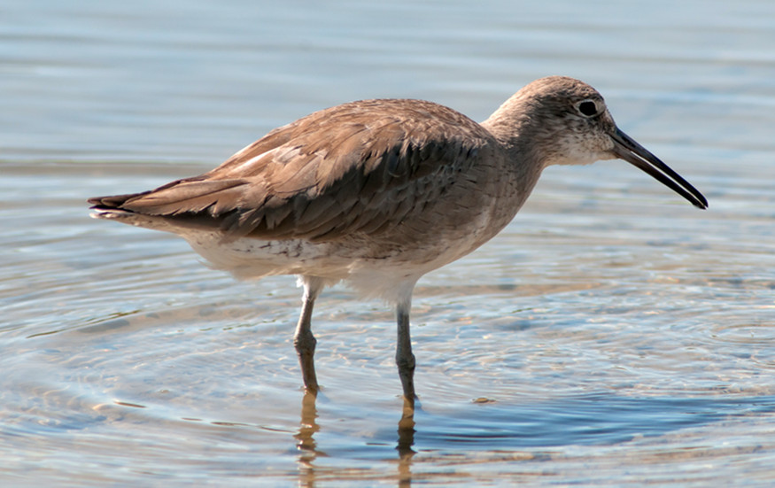
Willet # @Palo Alto Duck Pond
Whimbrel 2 @Palo Alto Baylands
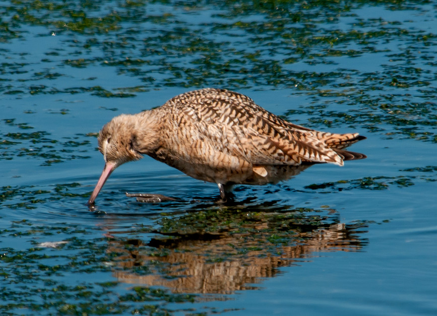
Godwit, Marbled # @Palo Alto Duck Pond
Pigeon, Rock # @Palo Alto Duck Pond
Crow, American # @Palo Alto Baylands
Swallow, Barn # @Palo Alto Baylands
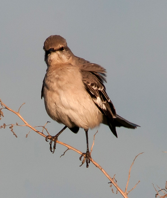
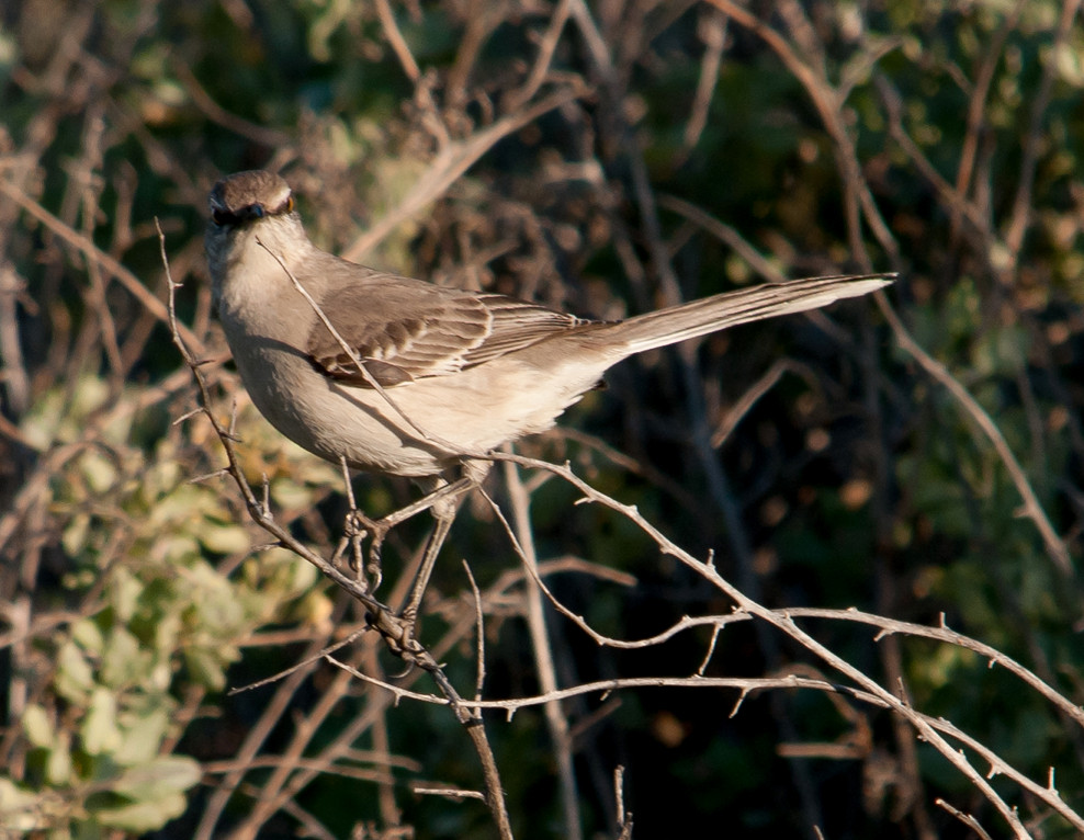
Mockingbird, Northern 1 @Palo Alto Duck Pond
Starling, European # @Palo Alto Baylands
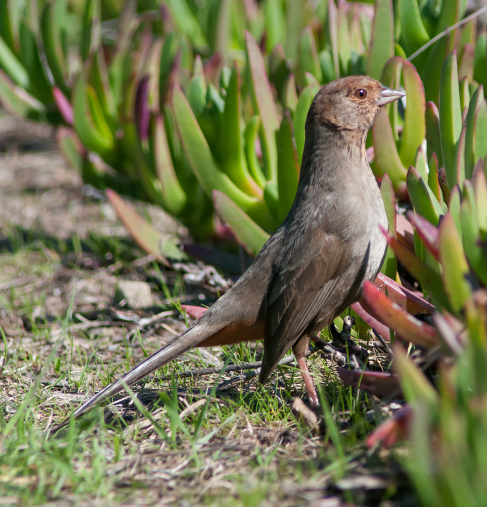
Towhee, California 1 @Mountain View: Shoreline Park
Sparrow, White-crowned # @Palo Alto Baylands
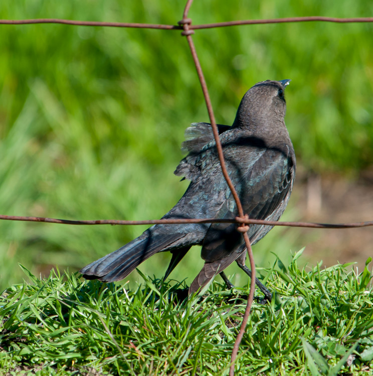
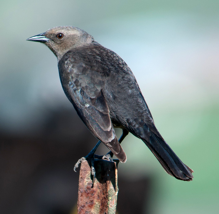
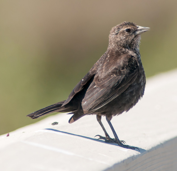
Blackbird, Brewer's # @Palo Alto Baylands
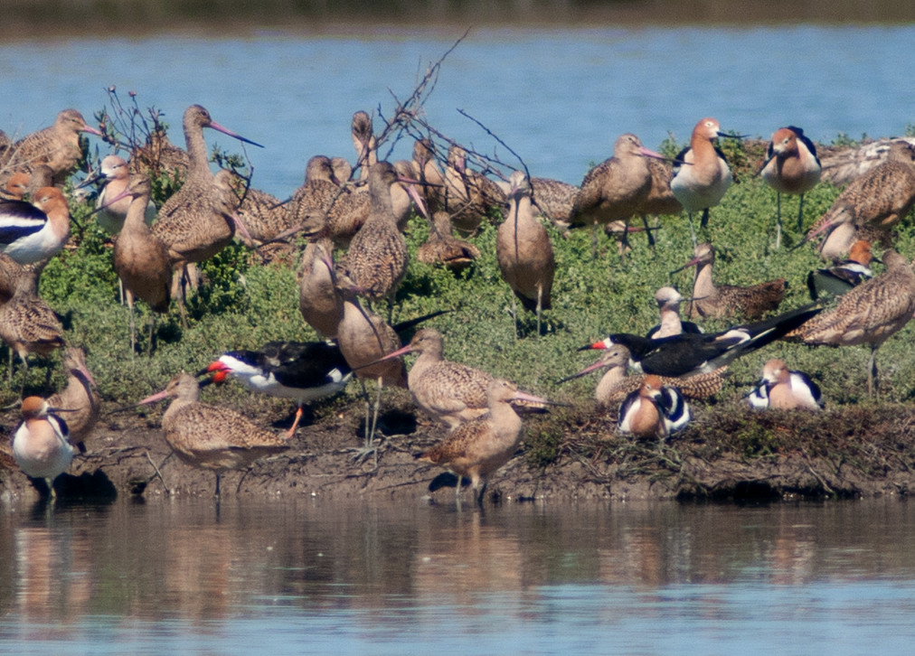
2014-03-15: CA: Santa Clara County
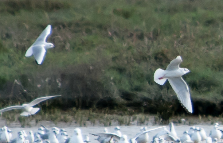
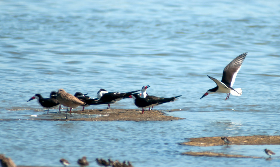
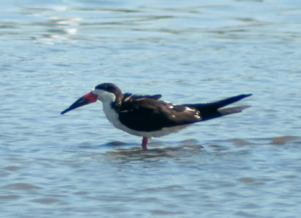
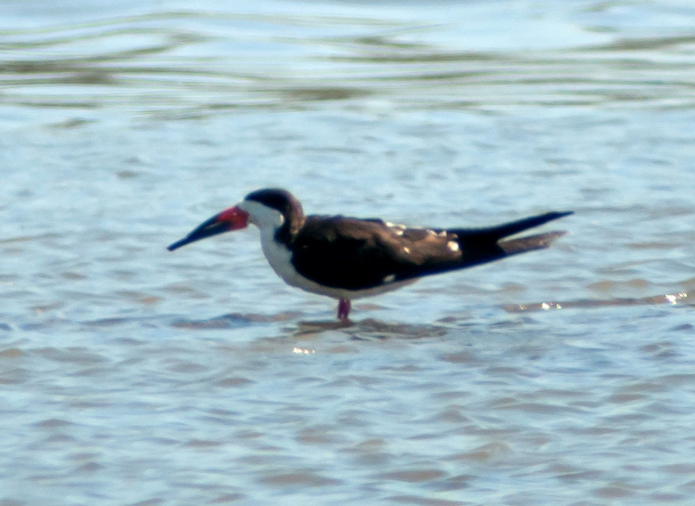
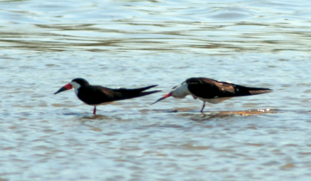
Notable: Black Skimmer
@MVSP: Mountain View: Shoreline Park
@PAB: Palo Alto Baylands
@SClaraCo: Santa Clara County
Route
1030, arrive Shoreline. Brief check of the freshwater
lake, then walked out toward Charleston Slough, which
was definitely the long way to get there, but still
moderately interesting along the way.
1400, moved over to the north end of San Antonio Road
and looked at Charleston Slough from there. Much
closer.
1745, back to Baylands.
Goose, Canada # @Mountain View: Shoreline Park
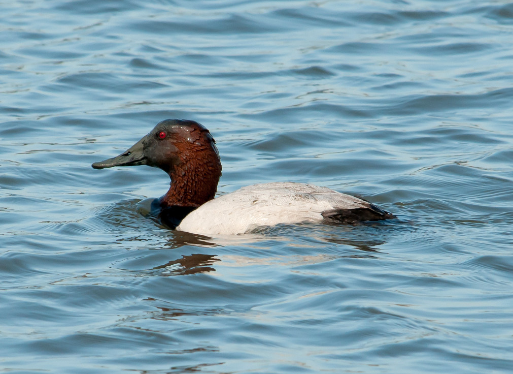
Canvasback # @Mountain View: Shoreline Park
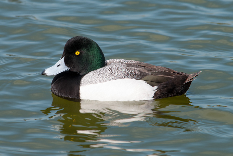
Scaup, Lesser 1 @Mountain View: Shoreline Park
Bufflehead # @Mountain View: Shoreline Park
Duck, Ruddy # @Mountain View: Shoreline Park
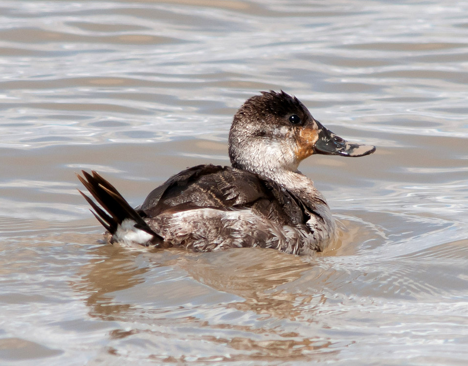
Grebe, Pied-billed 1 @Mountain View: Shoreline Park
Egret, Great 1 @Mountain View: Shoreline Park
Egret, Snowy # @Mountain View: Shoreline Park
Coot, American # @Mountain View: Shoreline Park
Killdeer # @Palo Alto Baylands
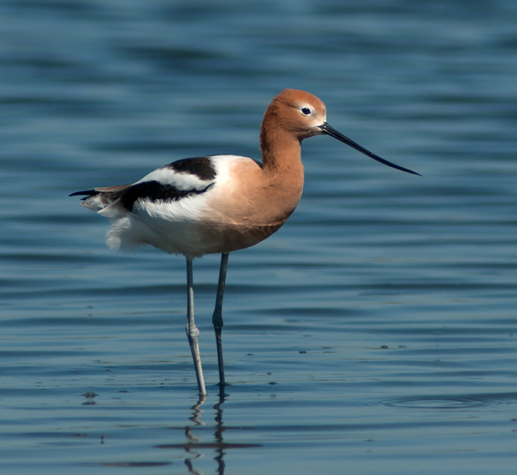
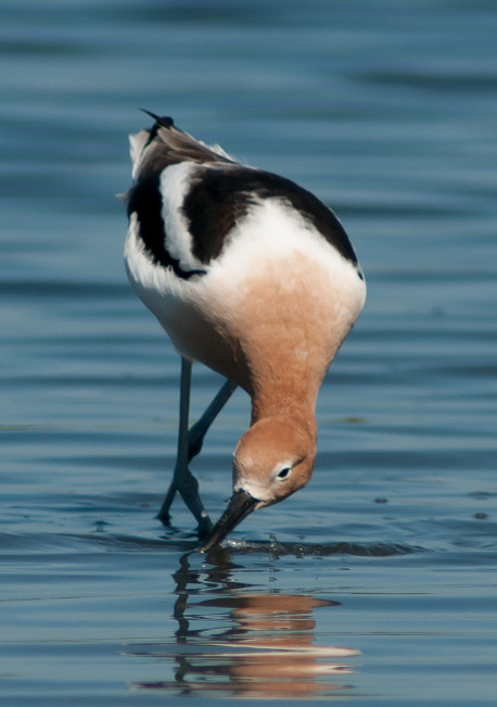
Avocet, American # @Mountain View: Shoreline Park
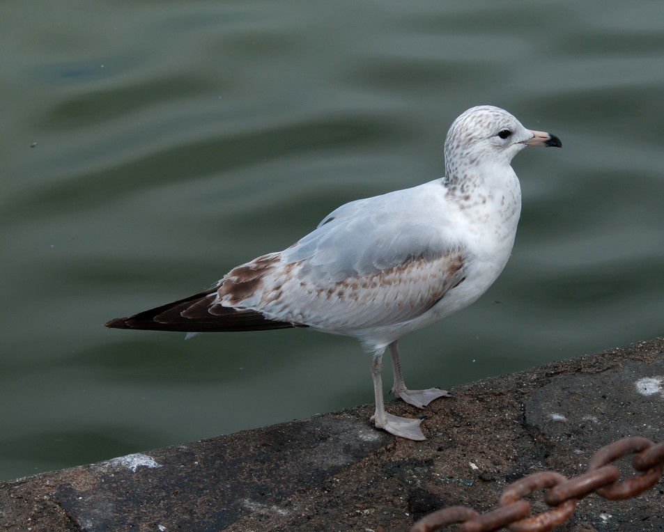
Gull, Ring-billed # @Mountain View: Shoreline Park
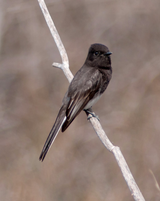
Phoebe, Black 1 @Mountain View: Shoreline Park
Crow, American # @Mountain View: Shoreline Park
Swallow, Barn # @Mountain View: Shoreline Park
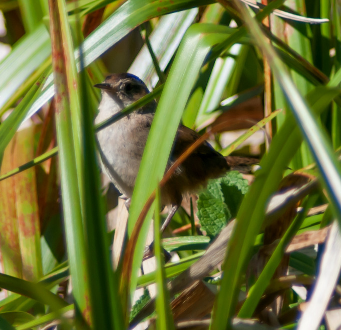
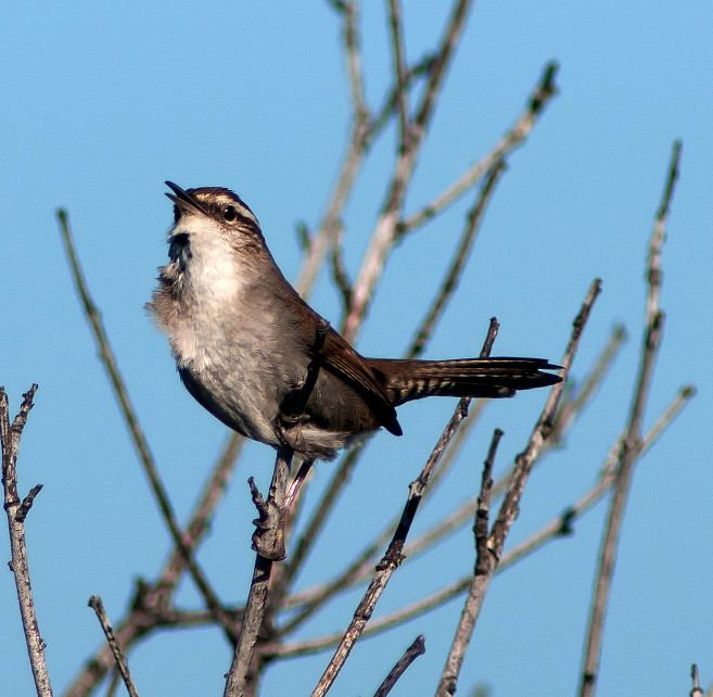
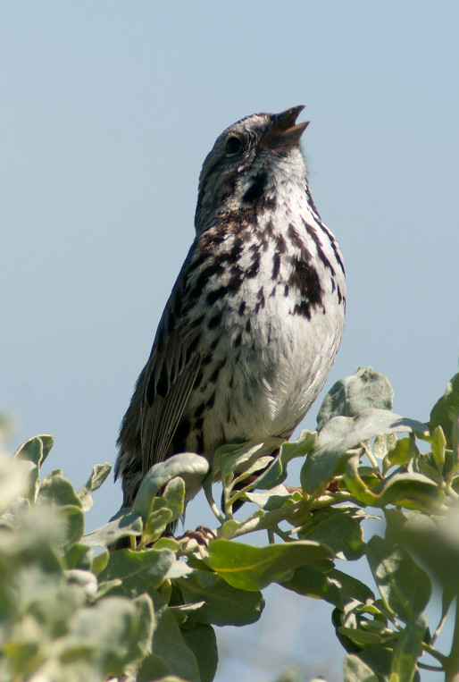
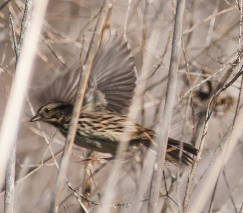
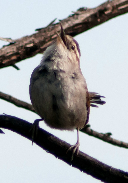
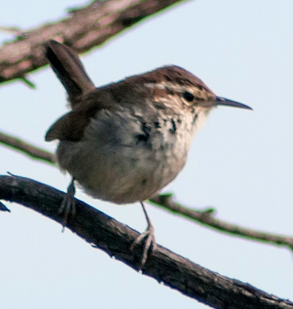
Wren, Marsh 1 @Mountain View: Shoreline Park
Towhee, California # @Mountain View: Shoreline Park
Sparrow, White-crowned # @Mountain View: Shoreline Park
Grackle, Great-tailed 1 @Mountain View: Shoreline Park
Finch, House # @Mountain View: Shoreline Park
2014-03-16: CA: Moss Landing to Ben Lomond
@BenL: Ben Lomond
@MossL: Moss Landing area
@day: Moss Landing to Ben Lomond
Route
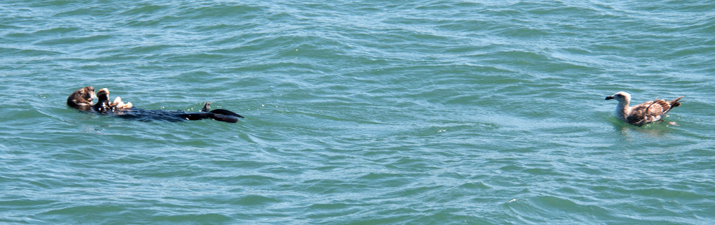
One of the high points of the whole trip was today's boat
tour into Elkhorn Slough. I can recommend
www.elkhornslough.com without reservation. The boat is low
and quiet and great for photography. The route is excellent
for birds and marine mammals right in the harbor and then
visits the outstanding marine reserve. Lots of close
encounters with sea otters, harbor seals, California sea
lions, and birds, birds, birds! The captain is skilled and
had a good food recommendation (Moss Landing Cafe) to boot.
We also had the services of a terrific grad student to fill
us in on the ecology and history.
1320, sat on a back porch of a house in Ben Lomond and
observed the live oak habitat.
Bufflehead # @Moss Landing area
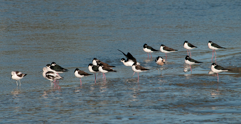
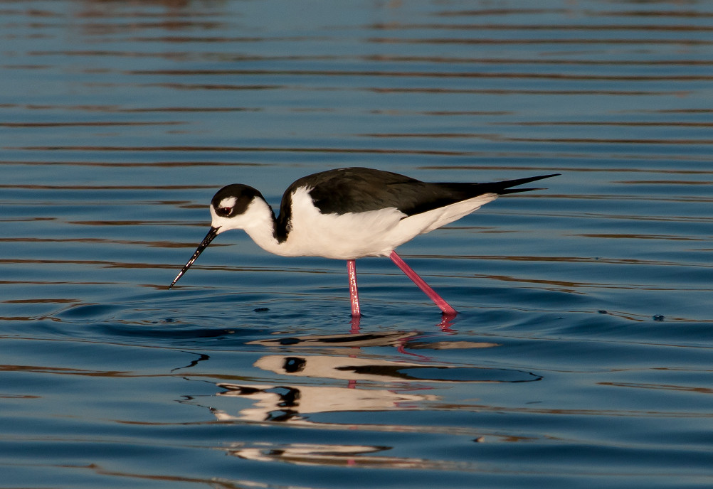
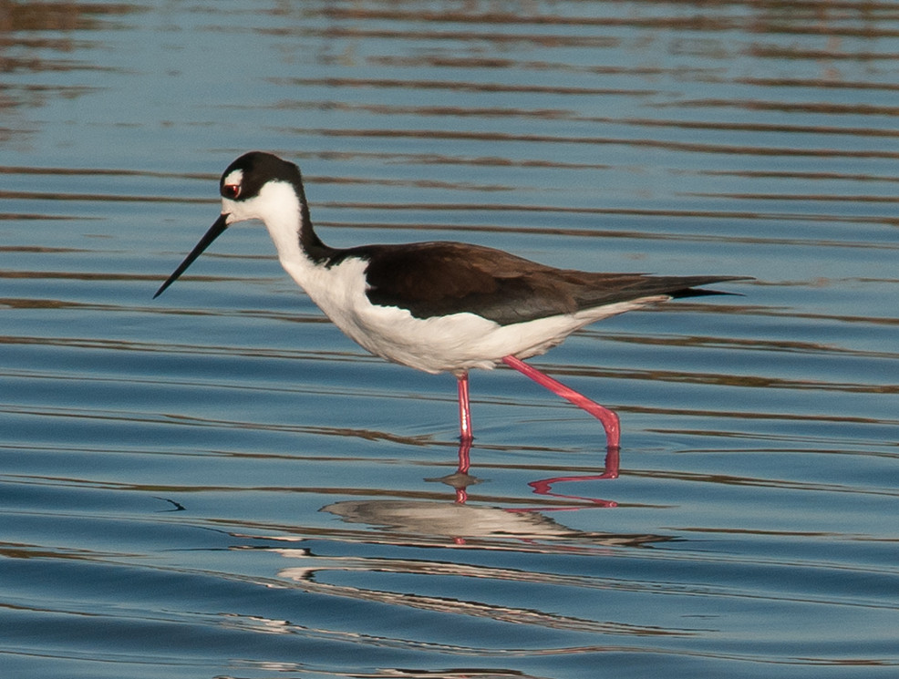
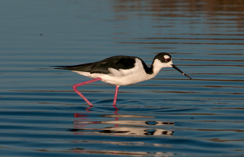
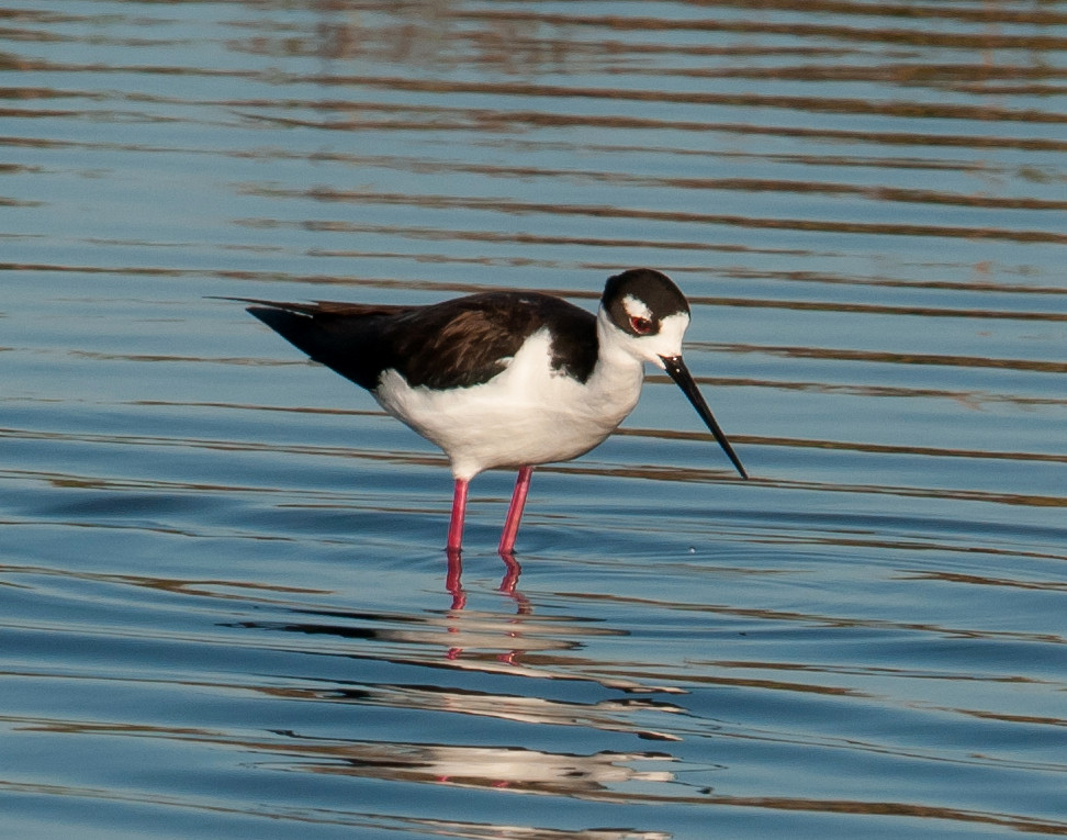
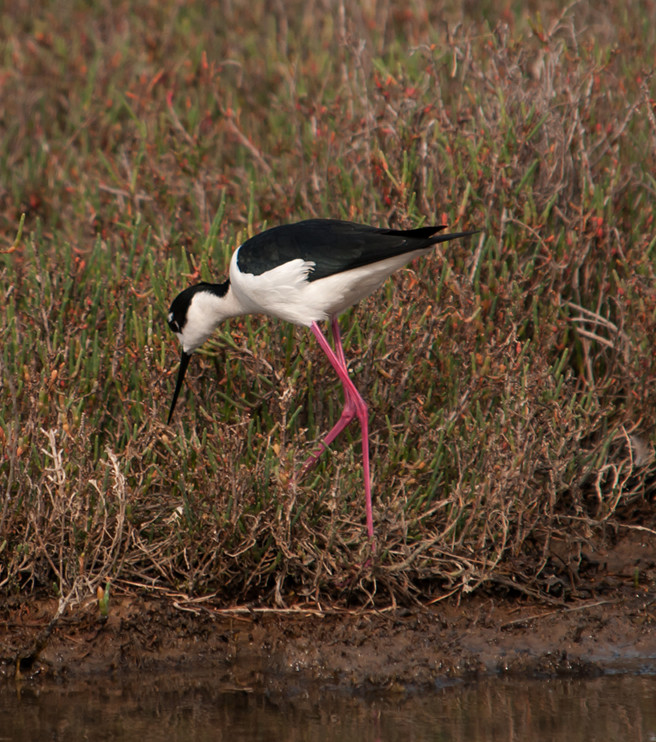
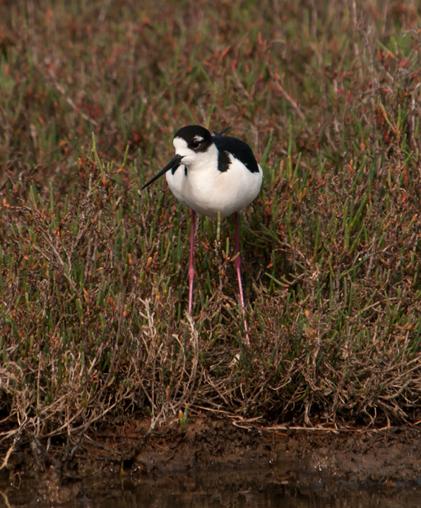
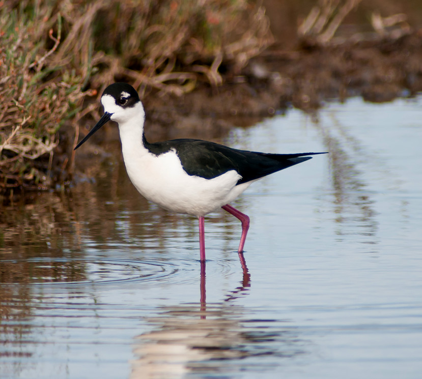
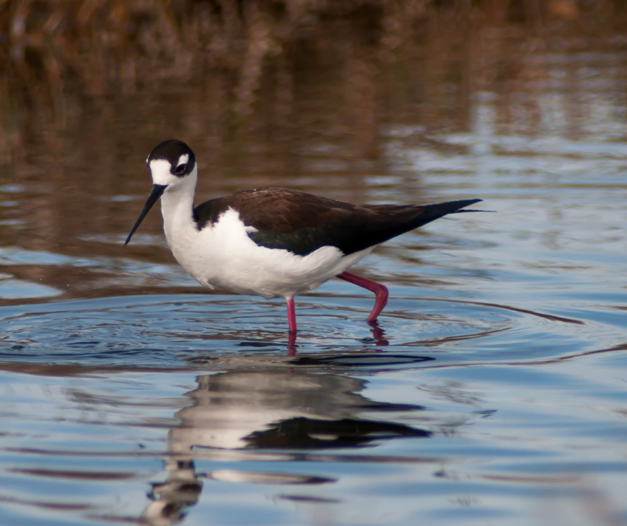
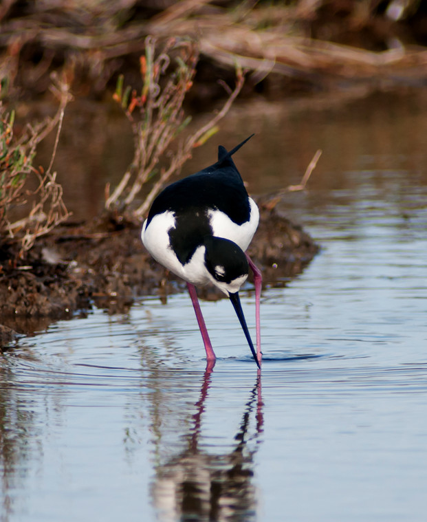
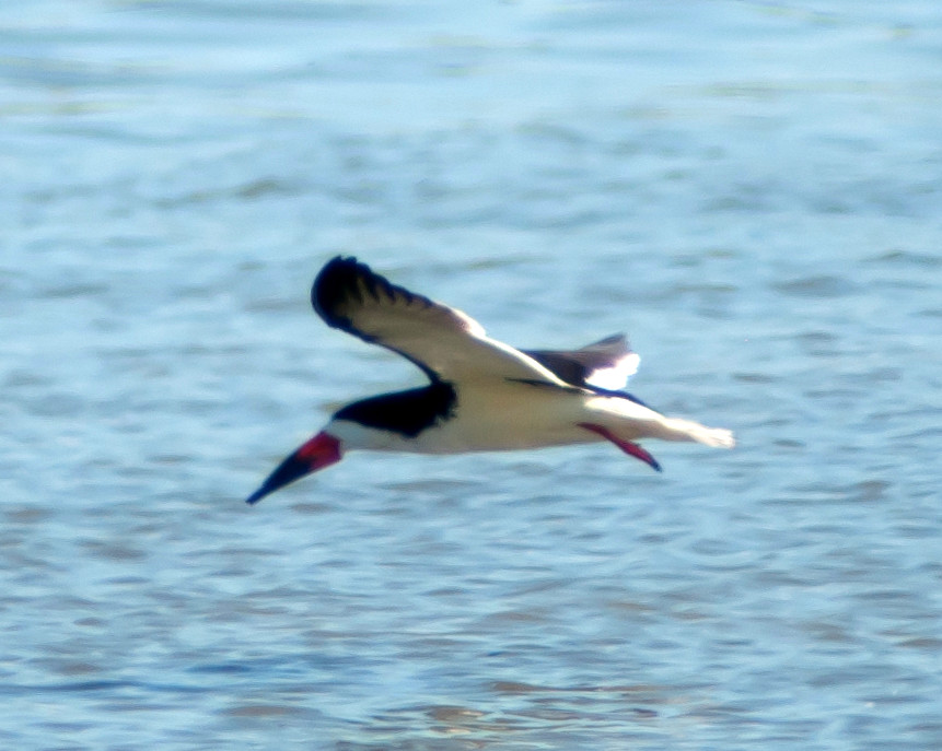
Stilt, Black-necked # @Moss Landing area
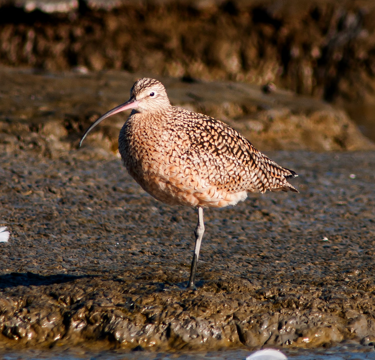
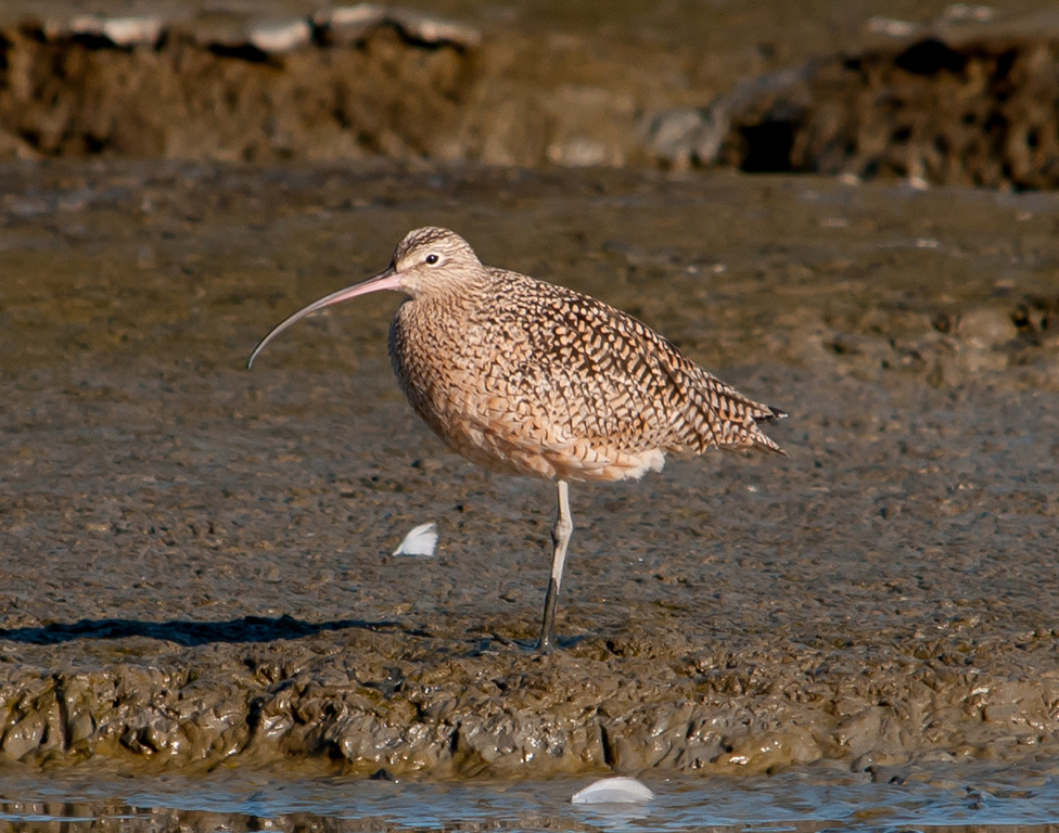
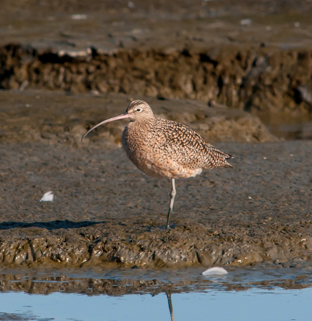
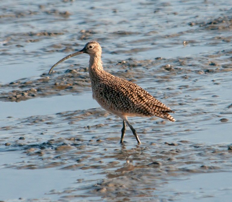
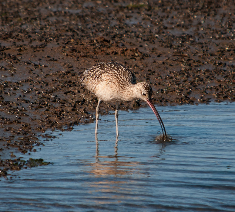
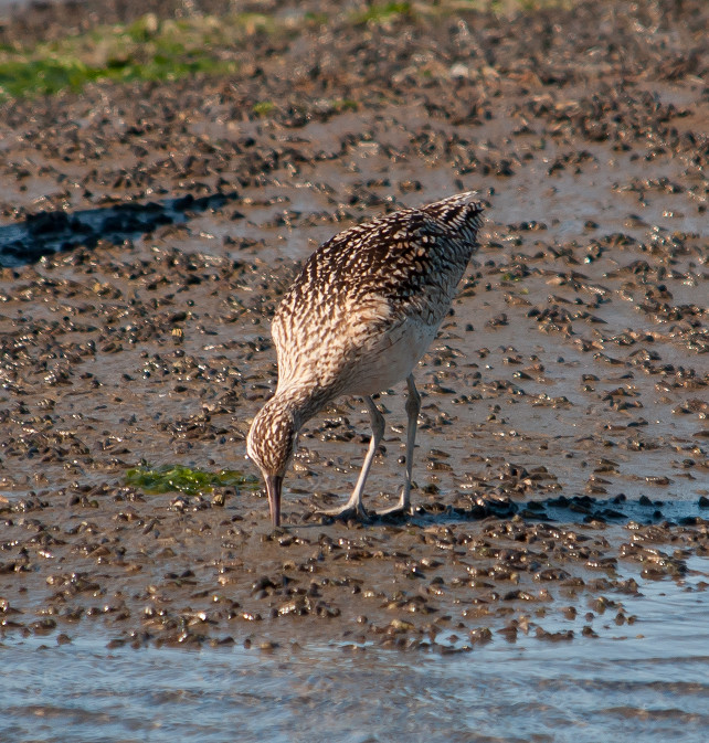
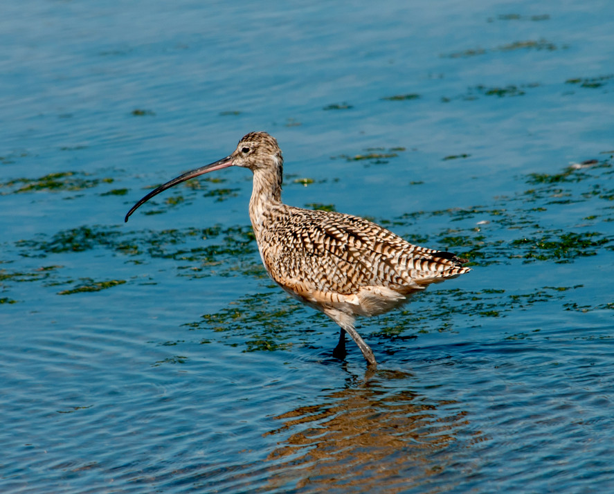
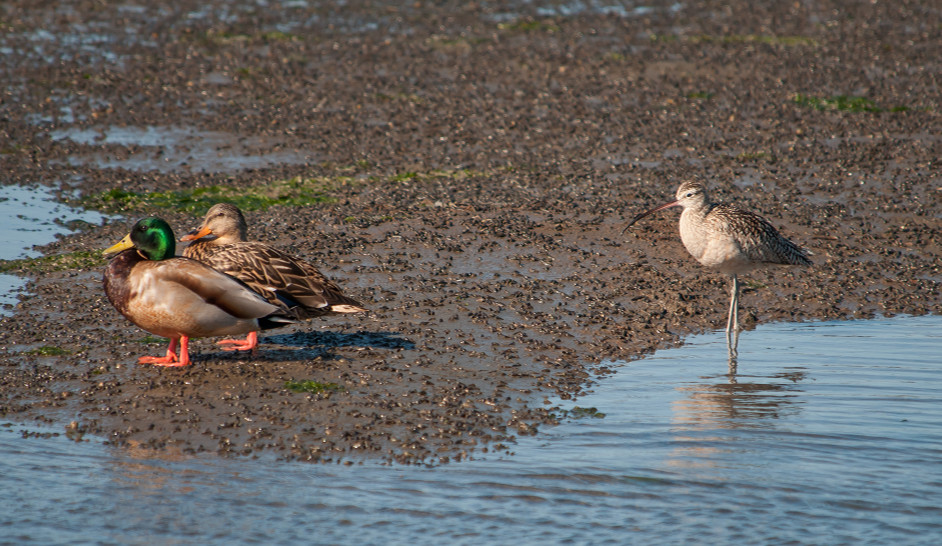
Curlew, Long-billed # @Moss Landing area
Pigeon, Rock # @Moss Landing area
Woodpecker, Acorn # @Ben Lomond
Warbler, Orange-crowned # @Ben Lomond
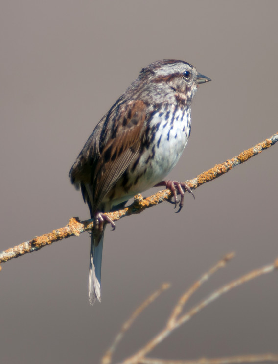
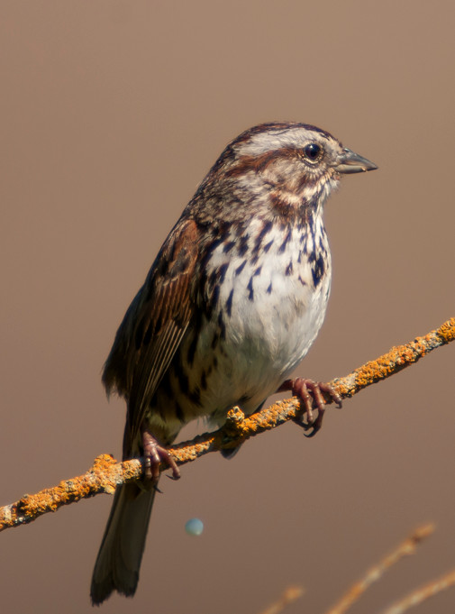
Junco, Oregon 1 @Ben Lomond
Blackbird, Brewer's # @Moss Landing area
Sparrow, House # @Moss Landing area
2014-03-17: CA: Moss Landing
@MossL: Moss Landing
Route
1315, arrive Moss Landing, worked good old Jetty Road,
always a great place to bird. Later in the day went
to Monterey and Pacific Grove. The Fishwife restaurant
in PG near Asilomar Beach was phenomenal.
Scaup, Greater # @Moss Landing
Scaup, Lesser # @Moss Landing
Bufflehead # @Moss Landing
Duck, Ruddy # @Moss Landing
Heron, Great Blue 1 @Moss Landing
Egret, Great # @Moss Landing
Egret, Snowy # @Moss Landing
Vulture, Turkey # @Moss Landing
Gull, Ring-billed # @Moss Landing
Gull, Western # @Moss Landing
Gull, Glaucous-winged # @Moss Landing
Pigeon, Rock # @Moss Landing
2014-03-18: CA: Pillar Point, Pescadero Marsh, Palo Alto Baylands
@HMB: Half Moon Bay
@PAB: Palo Alto Baylands
@PescM: Pescadero Marsh
@PescSB: Pescadero State Beach
@Prnc: Princeton
@day: Pillar Point, Pescadero Marsh, Palo Alto Baylands
Route
1140, arrive Princeton.
1305, in Half Moon Bay.
1345, hike into Pescadero Marsh.
1455, rolling, back to Pescadero State Beach.
1620, leave Pescadero area. The pie at Duarte's in
Pescadero was just as wonderful as back in the day
when Mama Duarte ran the place. The waitress smiled
when I told her that and said, "Same recipe."
1745, quick pass through Baylands.
Goose, Canada # @Pescadero Marsh
Pintail, Northern # @Palo Alto Baylands
Scoter, Surf # @Princeton
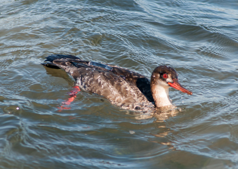
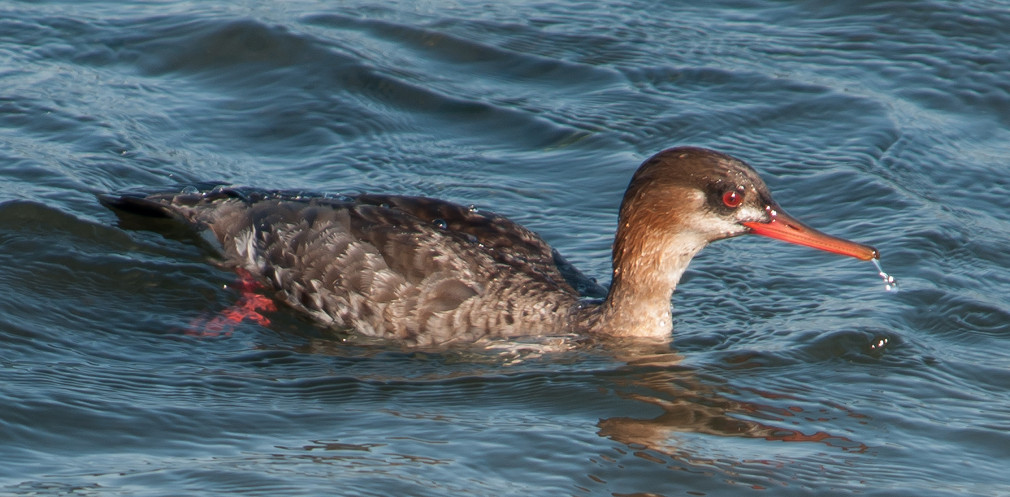
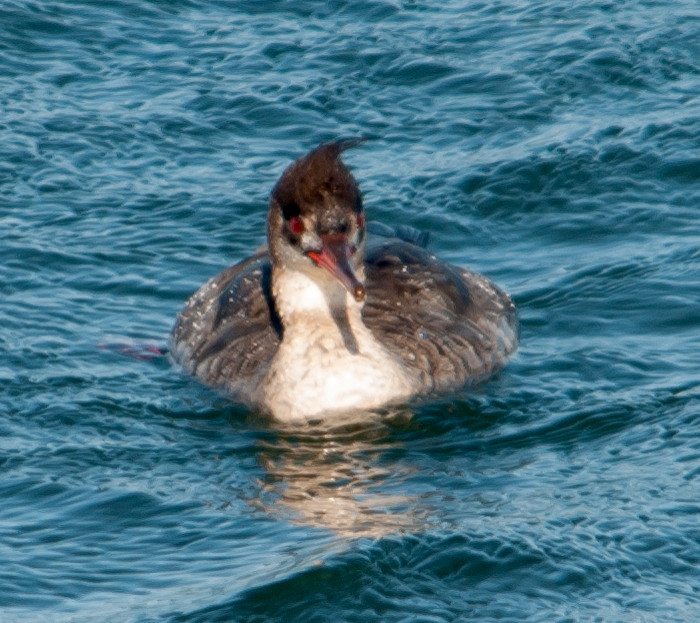
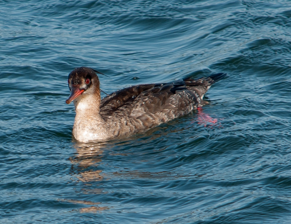
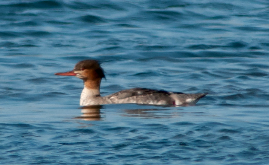
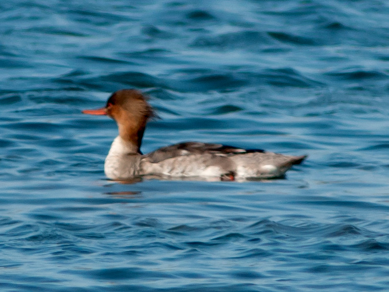
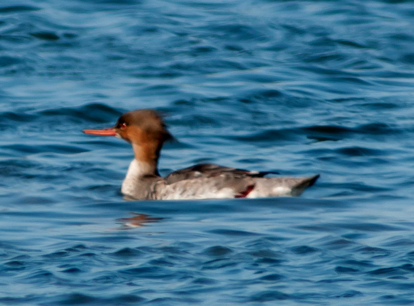
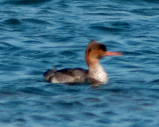
Merganser, Red-breasted 1♂ @Princeton
Grebe, Pied-billed 1 @Pescadero Marsh
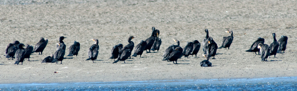
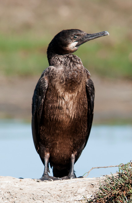
Cormorant, Brandt's # @Pescadero State Beach
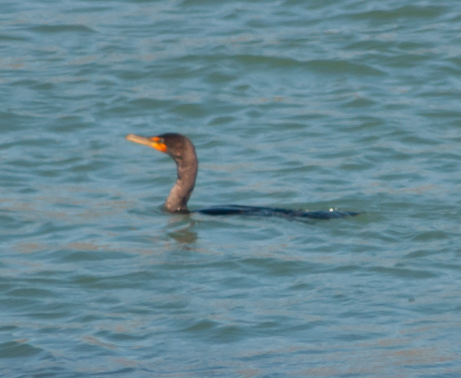
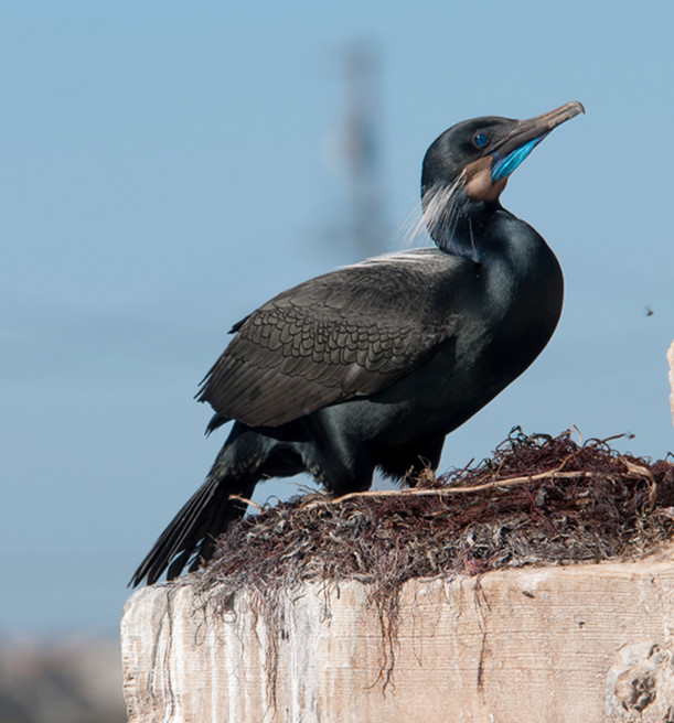
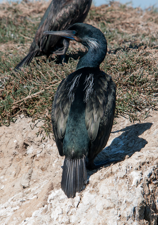
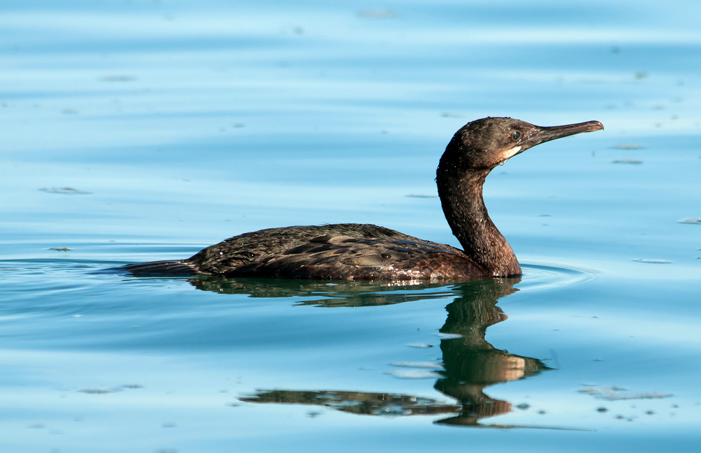
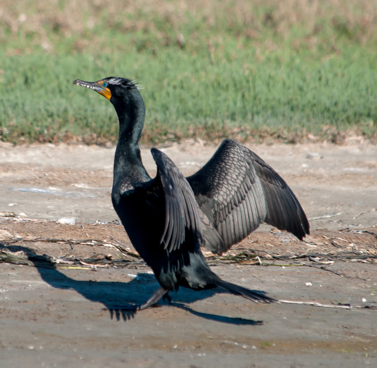
Cormorant, Double-crested # @Pescadero Marsh
Heron, Great Blue # @Pescadero Marsh
Egret, Great 1 @Pescadero Marsh
Egret, Snowy # @Pescadero Marsh
Vulture, Turkey 1 @Pescadero Marsh
Coot, American # @Princeton
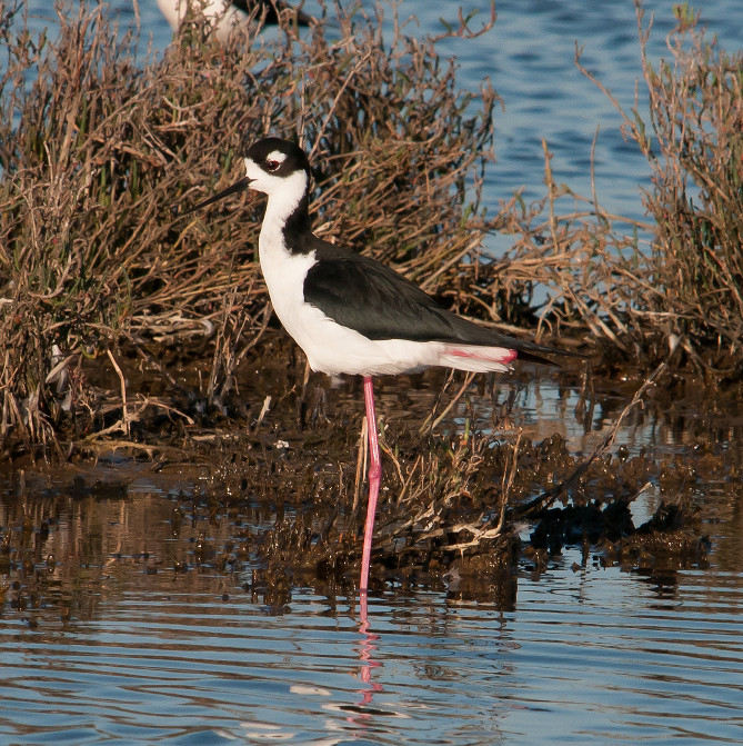
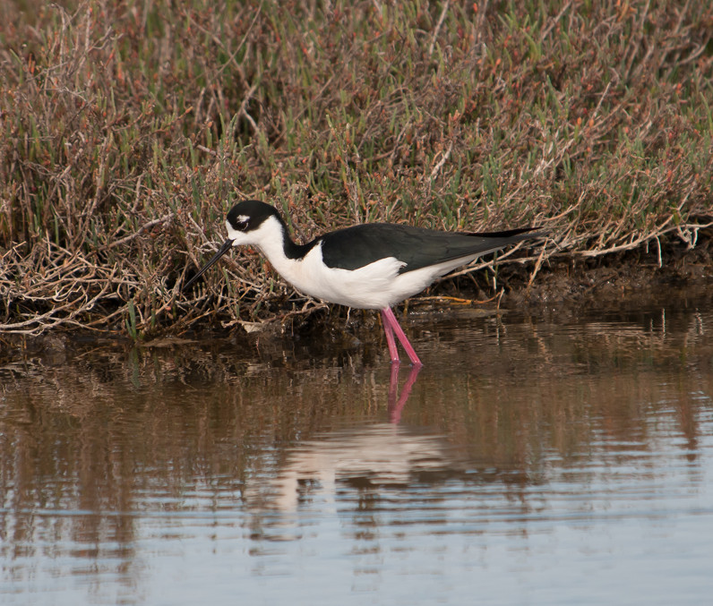
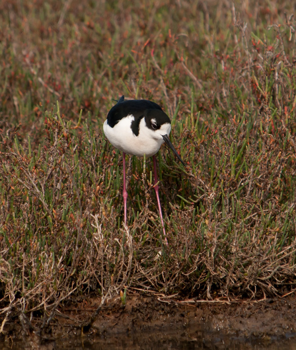
Stilt, Black-necked @Palo Alto Baylands
Wren, Marsh # @Pescadero Marsh
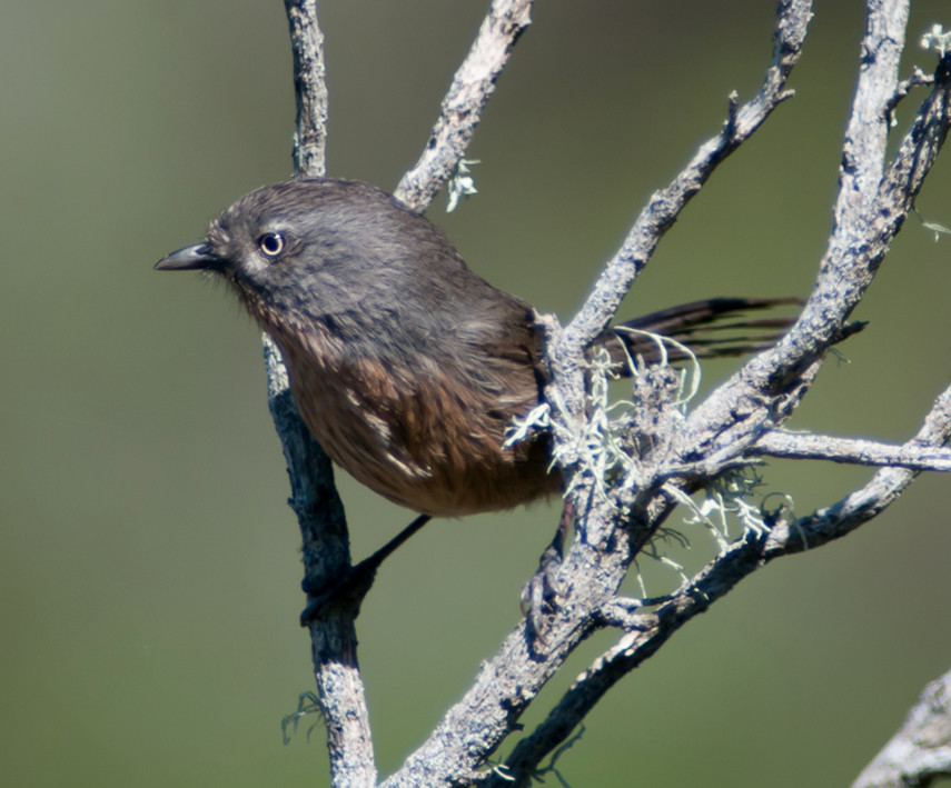
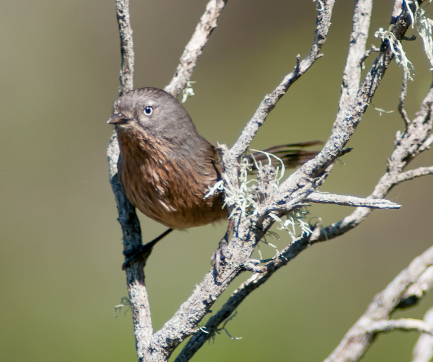
Wrentit # @Pescadero Marsh
Starling, European # @Princeton
Yellowthroat, Common 1♂ @Pescadero Marsh
Sparrow, White-crowned # @Pescadero Marsh
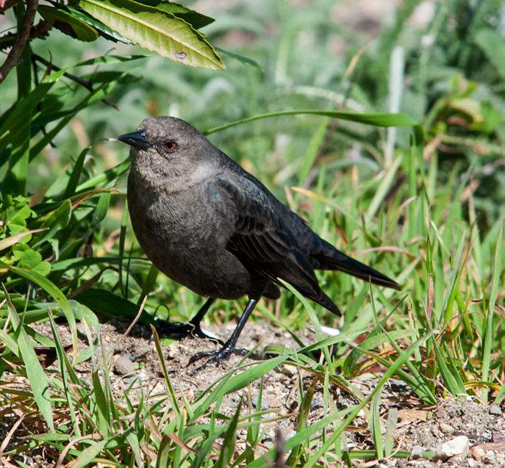
Blackbird, Brewer's # @Princeton
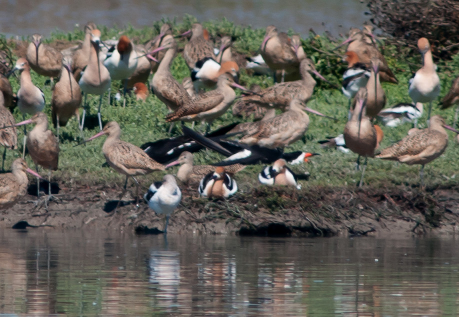
2014-03-19: CA: Palo Alto Baylands
Notable: Black Skimmer
@PAB: Palo Alto Baylands
Route
1100: Although it's technically part of Mountain View
Shoreline, today's walk started at the north end of San
Antonio road and took me along the dike most of the way
to the flood basin tidal gates, which I thought was
more on the Palo Alto side of things.
1450, rolling.
1610, back to Baylands until about 1650.
Goose, Canada # @Palo Alto Baylands
Wigeon, American # @Palo Alto Baylands
Mallard # @Palo Alto Baylands
Shoveler, Northern # @Palo Alto Baylands
Teal, American Green-winged # @Palo Alto Baylands
Canvasback # @Palo Alto Baylands
Duck, Ruddy # @Palo Alto Baylands
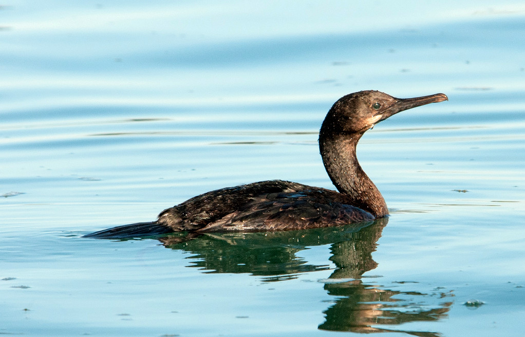
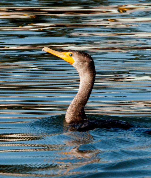
Cormorant, Double-crested # @Palo Alto Baylands
Egret, Snowy # @Palo Alto Baylands
Coot, American # @Palo Alto Baylands
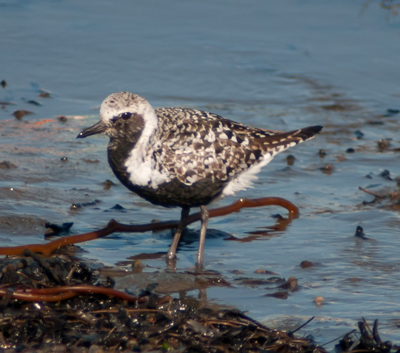
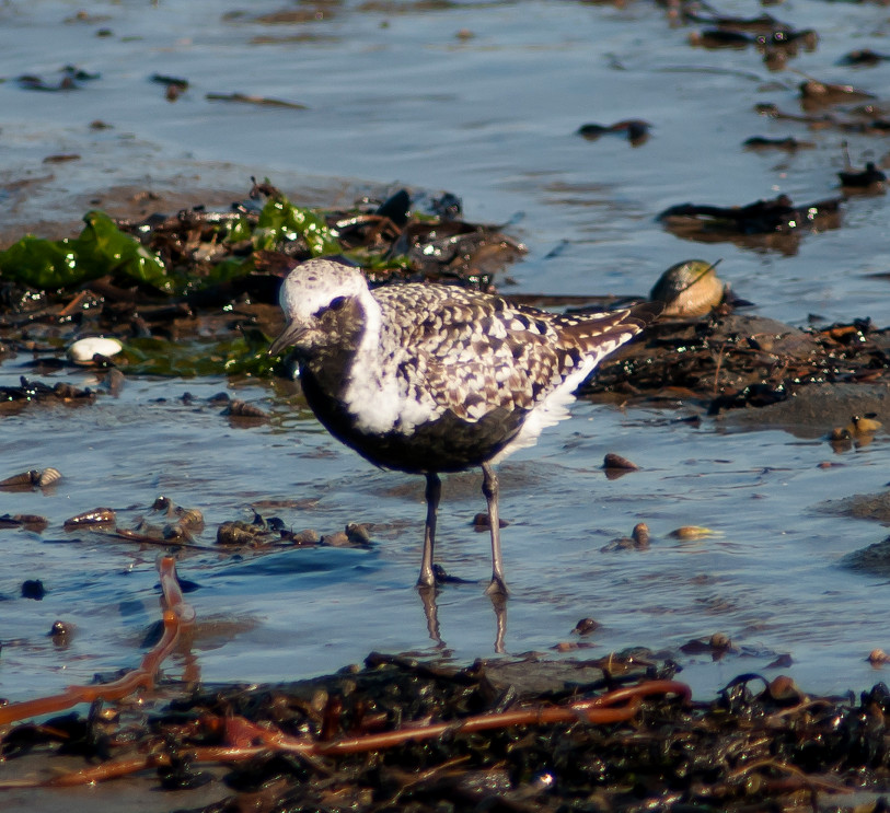
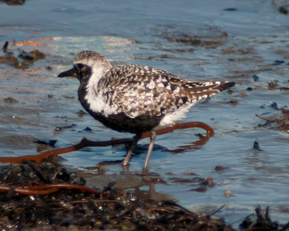
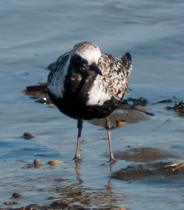
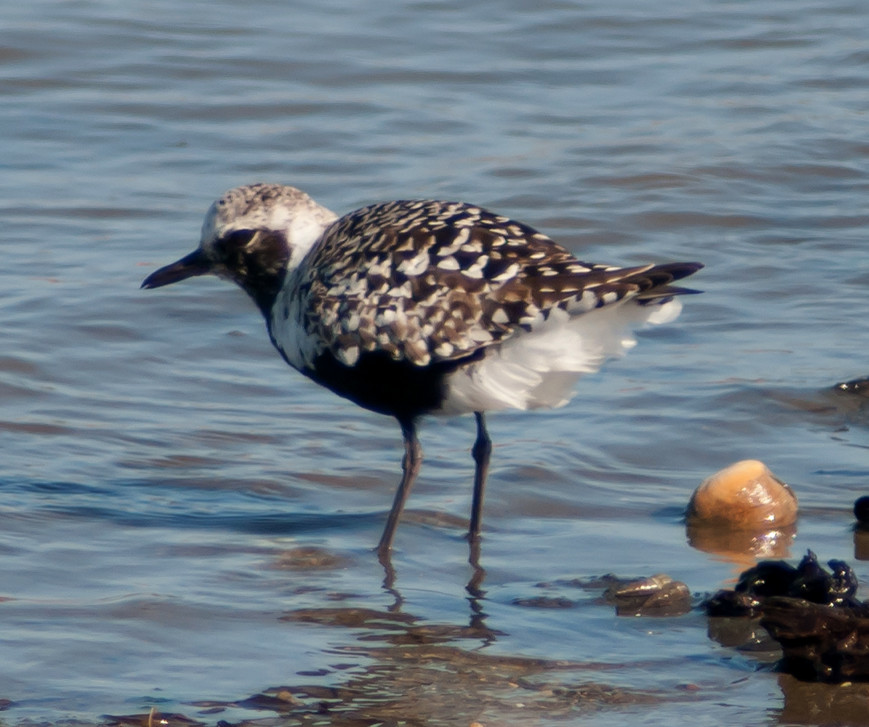
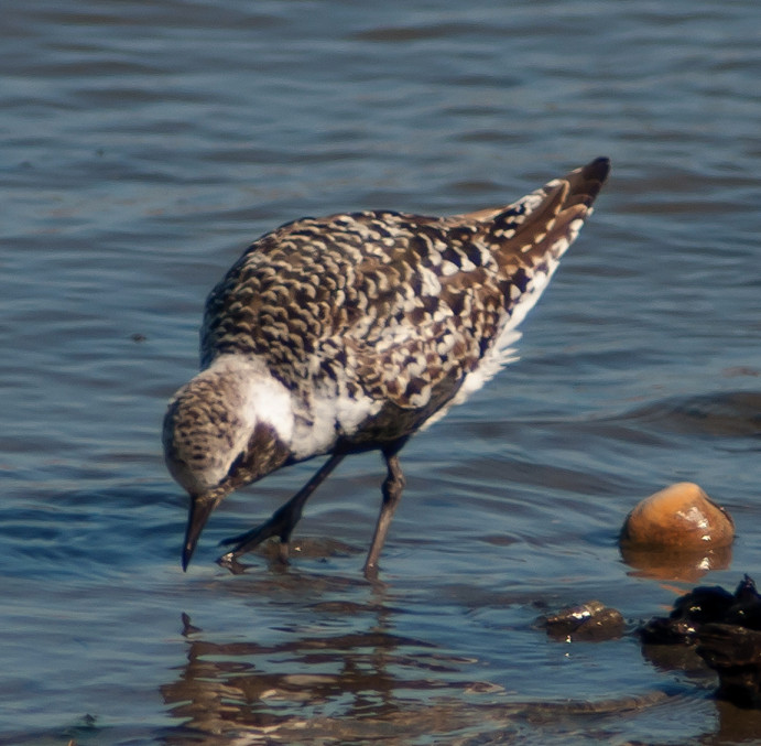
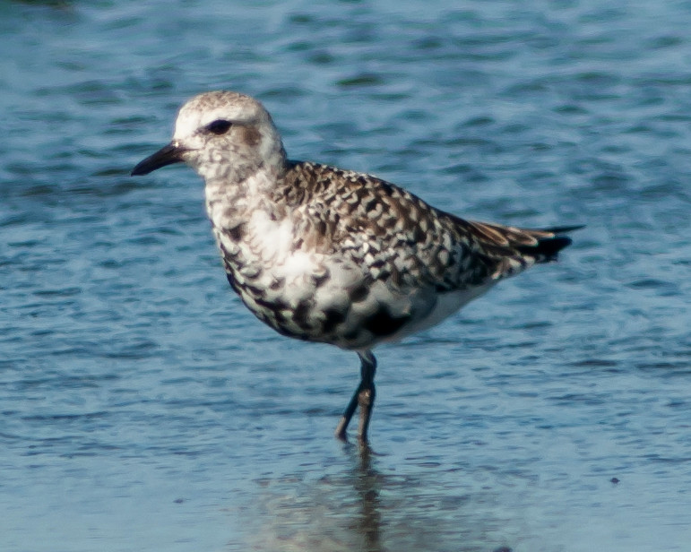
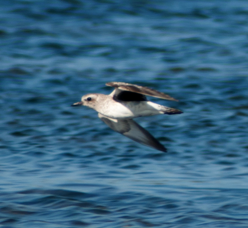
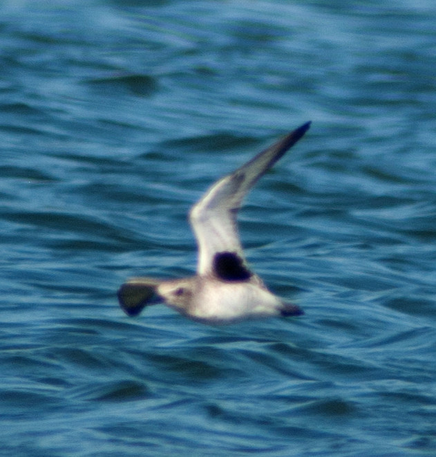
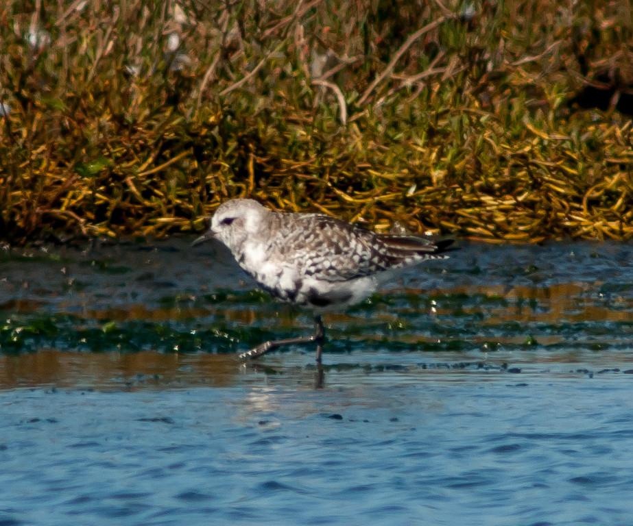
Plover, Black-bellied # @Palo Alto Baylands
Killdeer 1 @Palo Alto Baylands
Avocet, American # @Palo Alto Baylands
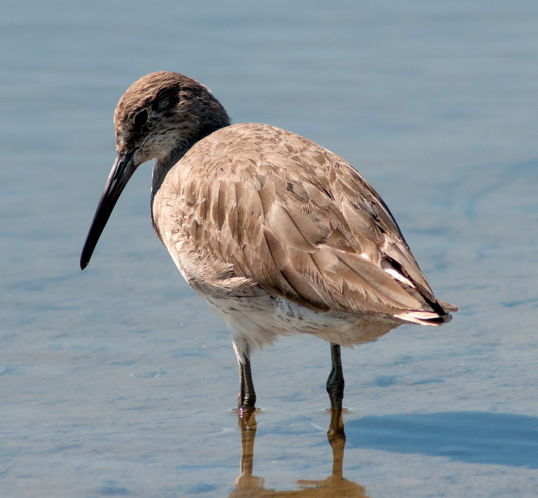
Willet # @Palo Alto Baylands
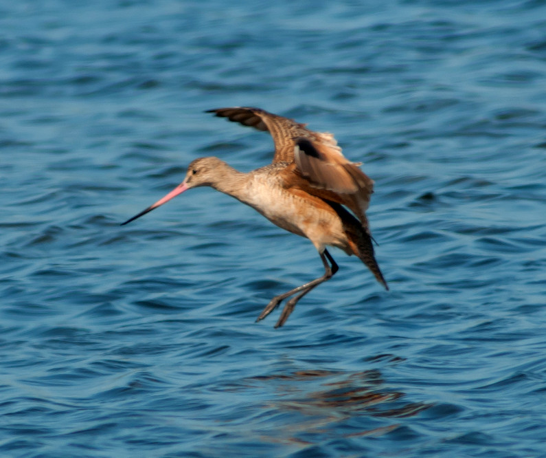
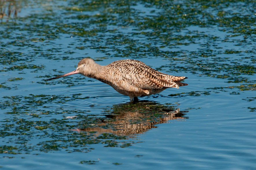
Godwit, Marbled # @Palo Alto Baylands
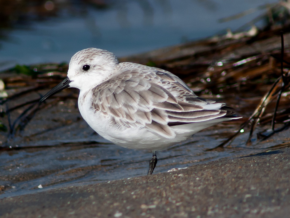
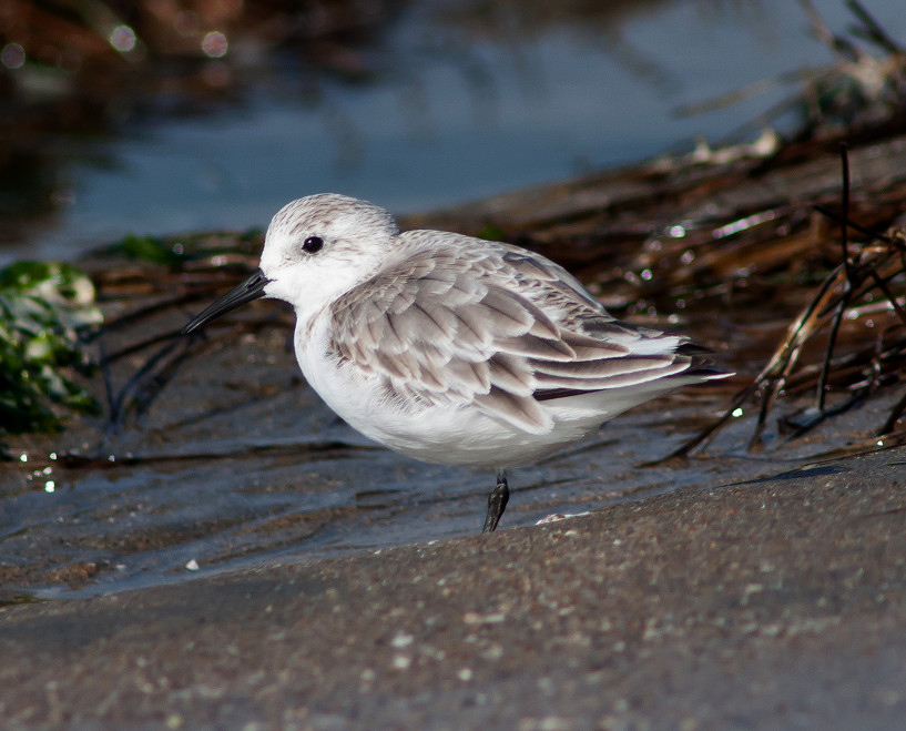
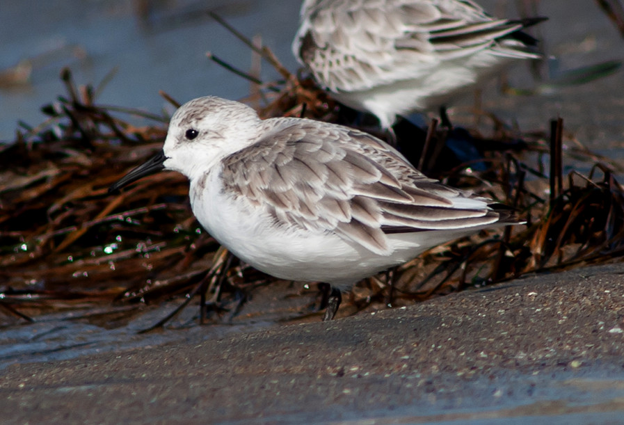
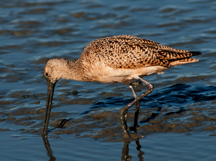
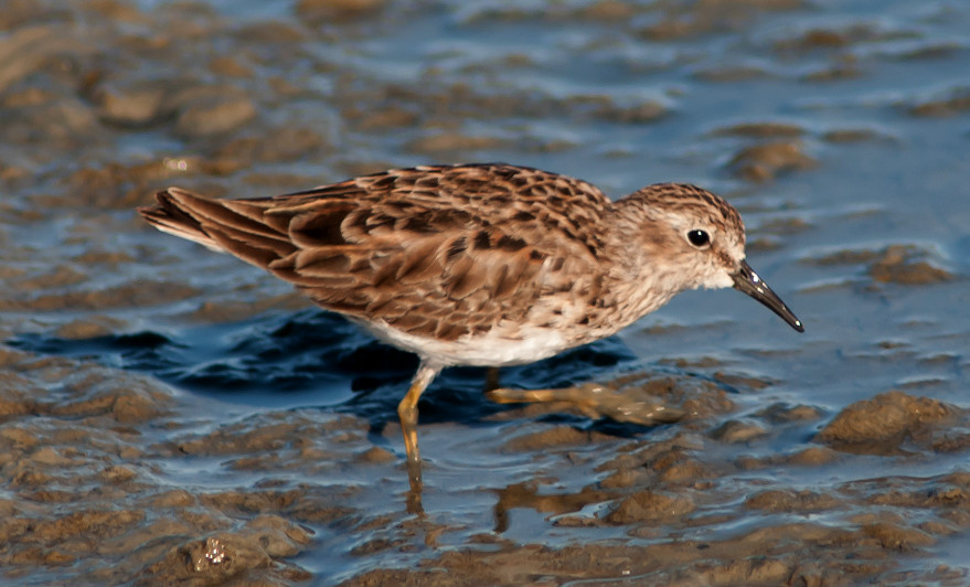
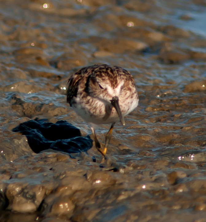
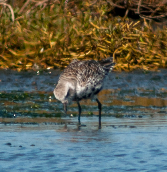
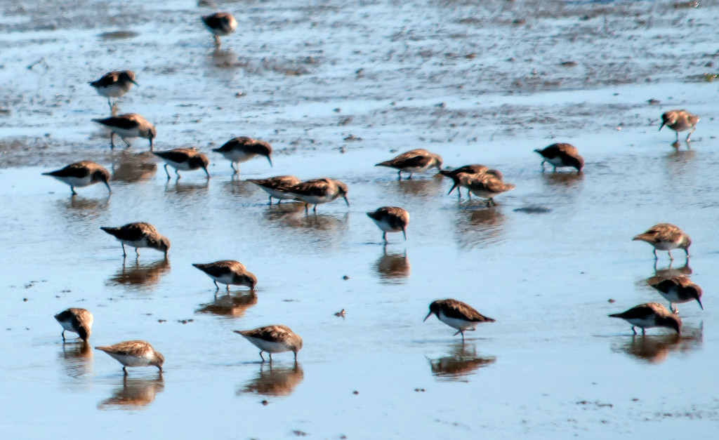
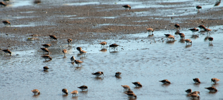
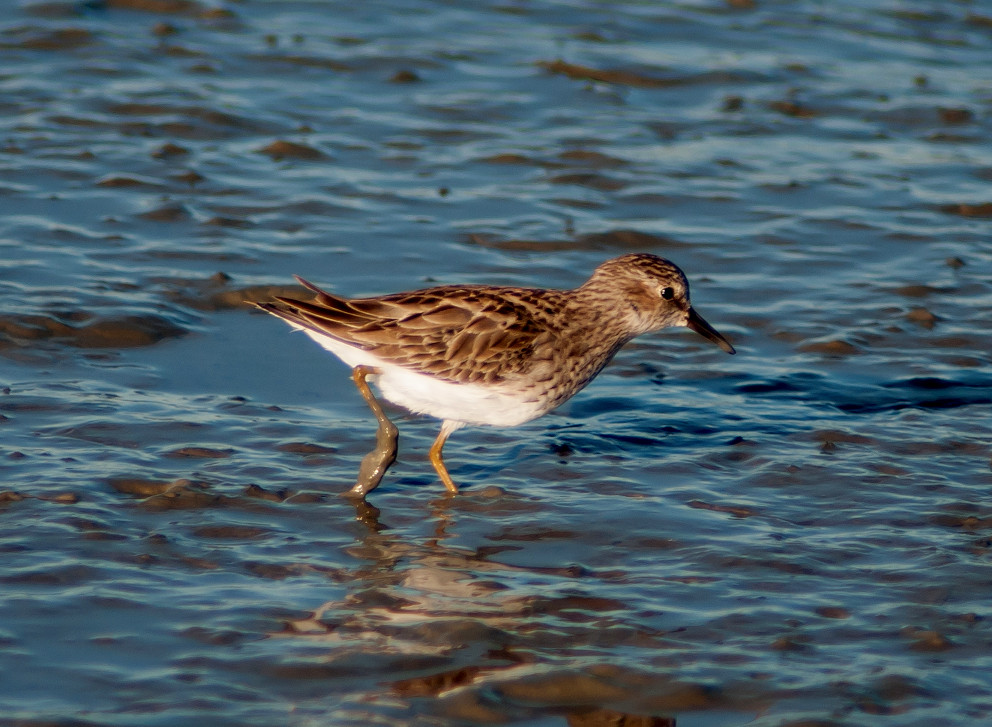
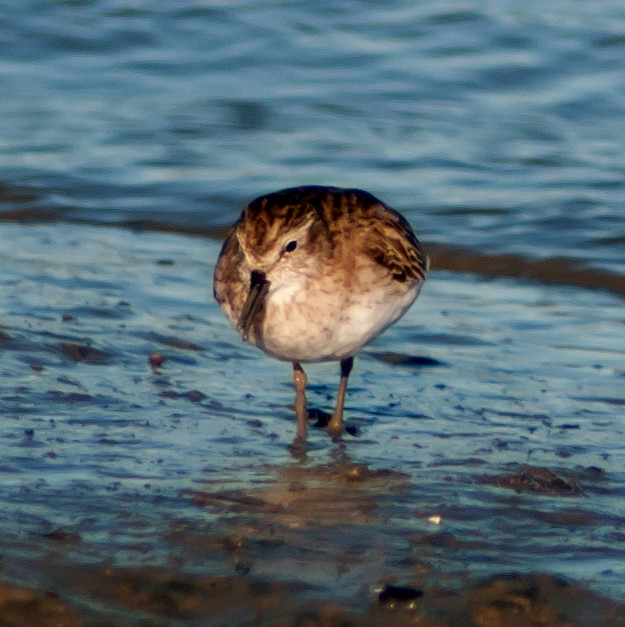
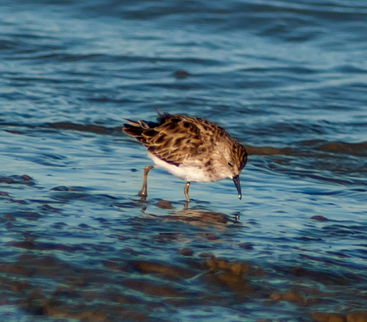
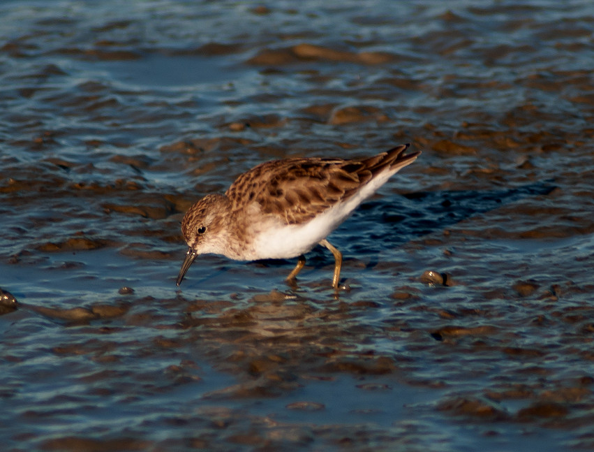
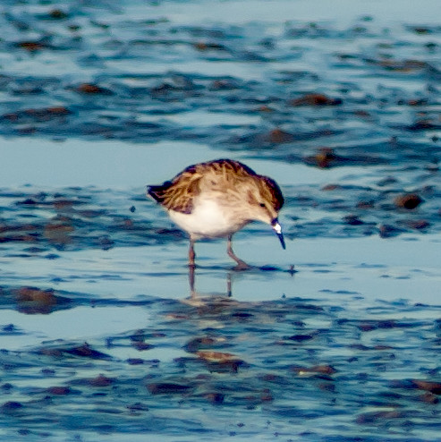
Sandpiper, Western # @Palo Alto Baylands
Sandpiper, Least # @Palo Alto Baylands
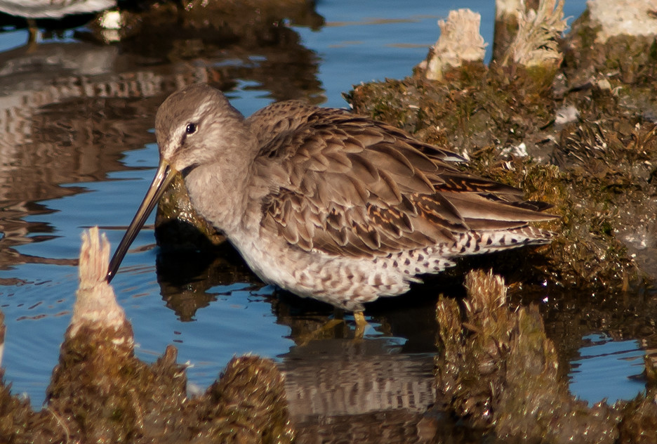
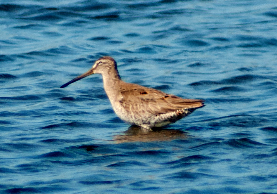
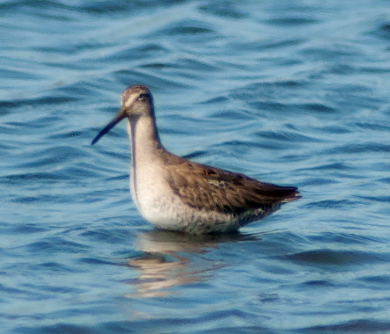
Dowitcher, Long-billed # @Palo Alto Baylands
Gull, Ring-billed # @Palo Alto Baylands
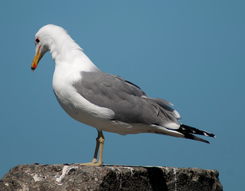
Gull, California # @Palo Alto Baylands
Hummingbird, Anna's # @Palo Alto Baylands
Crow, American # @Palo Alto Baylands
Swallow, Barn # @Palo Alto Baylands
Finch, House # @Palo Alto Baylands
2014-03-21: AZ: Kingman to NM line
@day: Kingman to NM line
@road1: Kingman to Holbrook
@road2: Holbrook to Springerville
@road3: US-60^E: Springerville to NM
Route
1135, leave Kingman.
1440-1500, Holbrook pit stop, take US-180^E.
1630, Springerville, take US-60^E.
1640 MST, NM line.
Vulture, Turkey # @Kingman to Holbrook
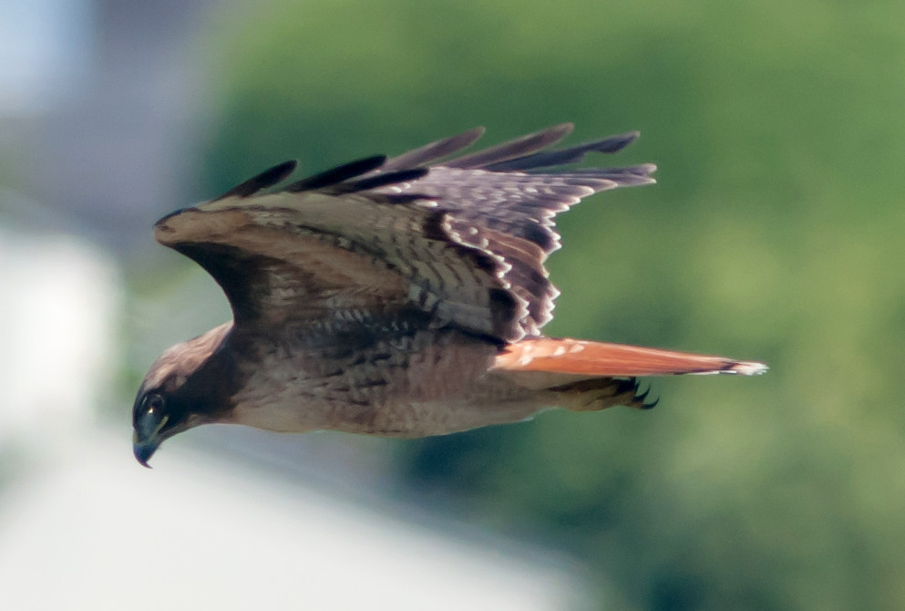
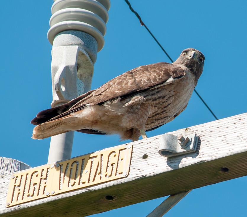
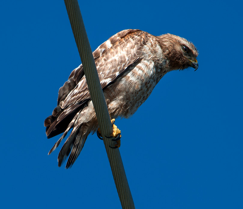
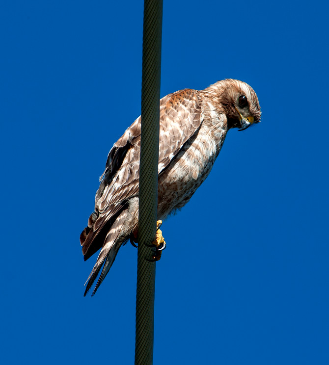
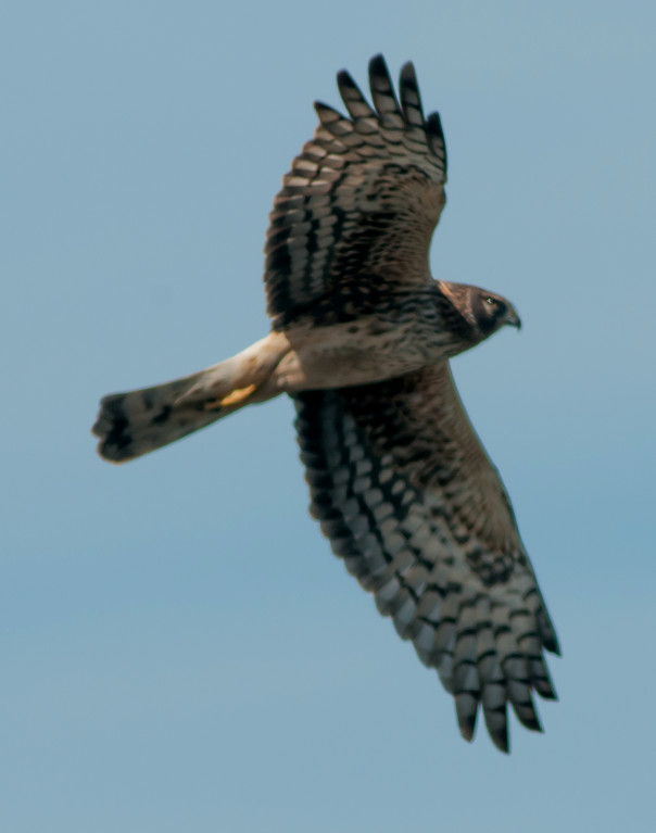
Harrier, Northern 1ϕ @Holbrook to Springerville
Jay, Pinyon 1 @US-60^E: Springerville to NM
raven sp. 1 @Holbrook to Springerville
Raven, Common # @Kingman to Holbrook
2014-03-21: NM: US-60^E: AZ to Socorro
@day: US-60^E: AZ to Socorro
@road1: US-60^E: AZ to Quemado
@road2: US-60^E: Quemado to Pie Town
@road3: US-60^E: Pie Town to Datil
Route
1740 MDT, enter NM.
1810, Quemado.
1830, Pie Town.
1850, Datil.
1950, Socorro.
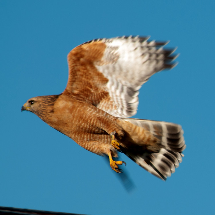
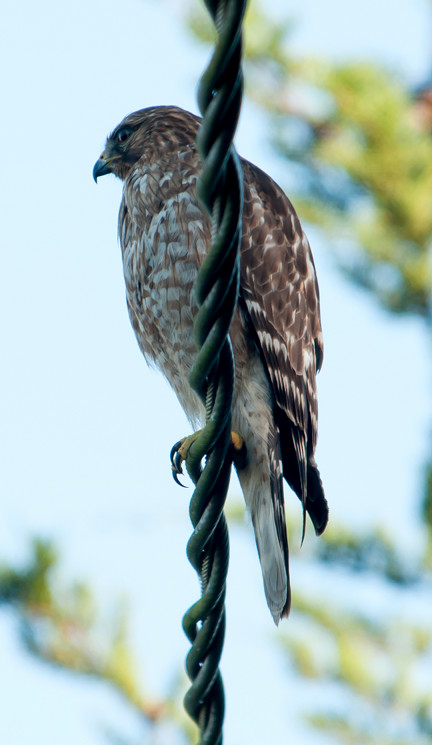
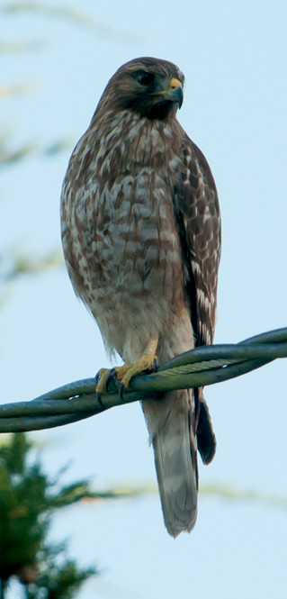
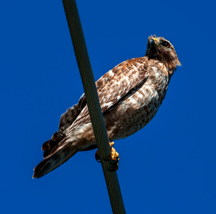
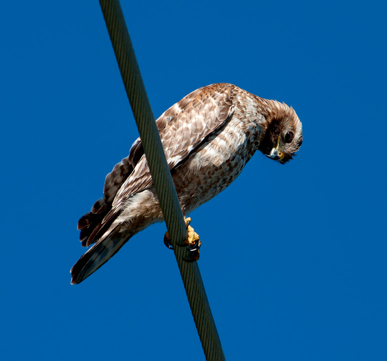
Accipiter sp. 1 @US-60^E: Pie Town to Datil
Lark, Horned # @US-60^E: AZ to Quemado
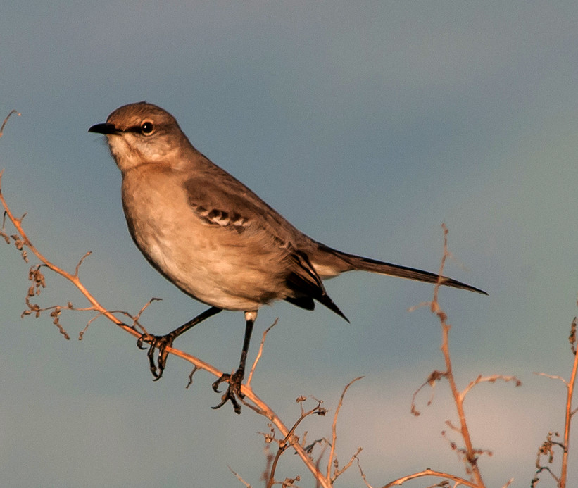
Mockingbird, Northern 1 @US-60^E: AZ to Quemado
meadowlark sp. # @US-60^E: Quemado to Pie Town
2014-03-25: NM: Socorro: NRAO Domenici Operations Center
@NRAO: Socorro: NRAO Domenici Operations Center
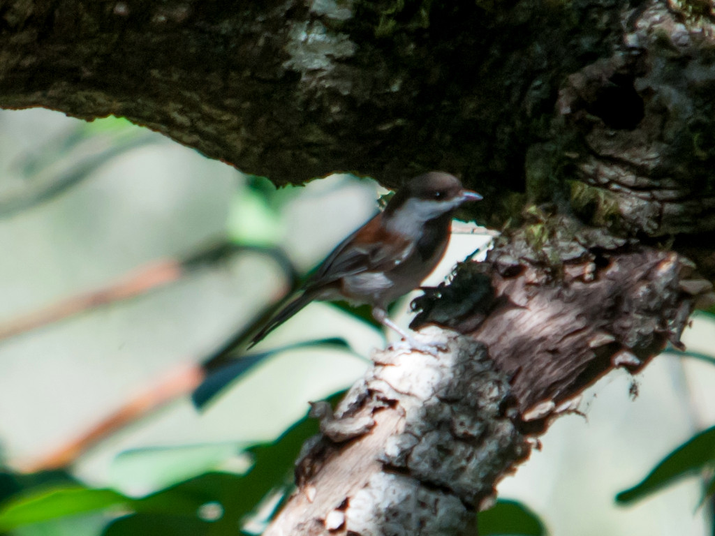
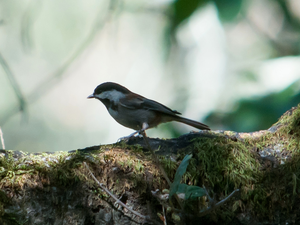
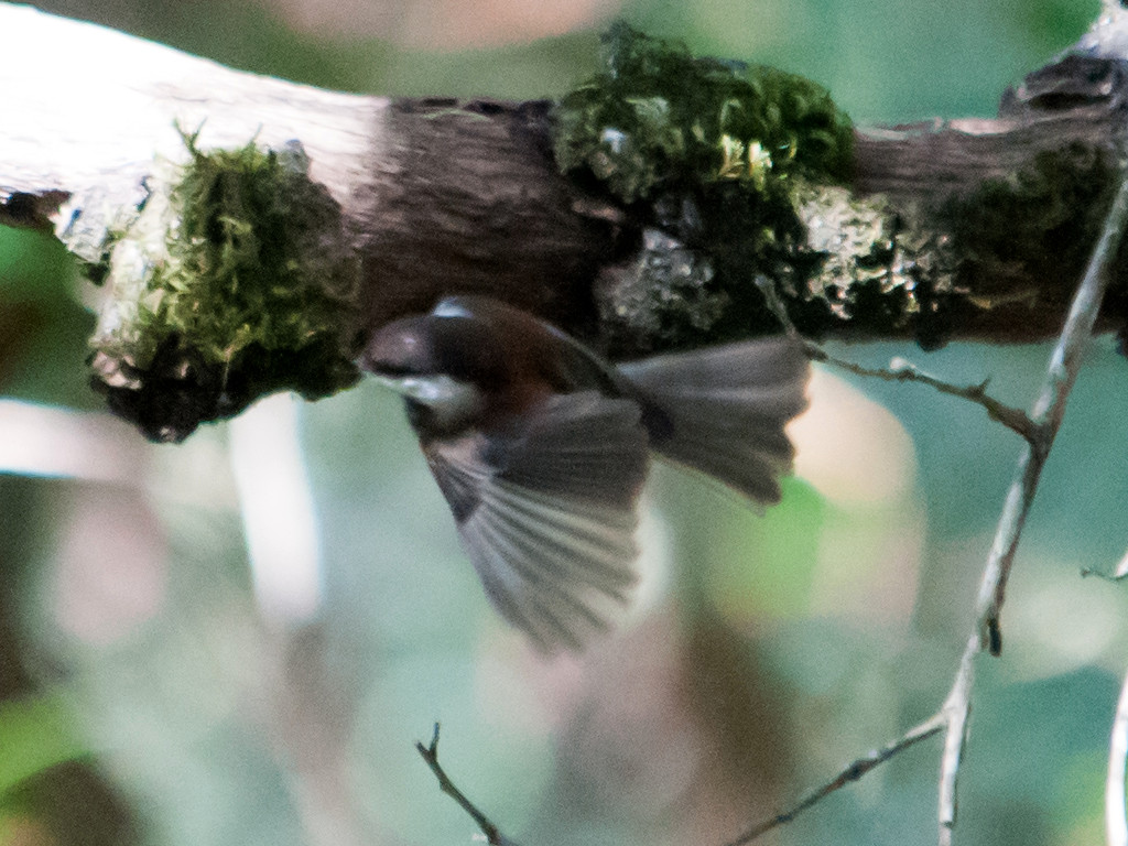
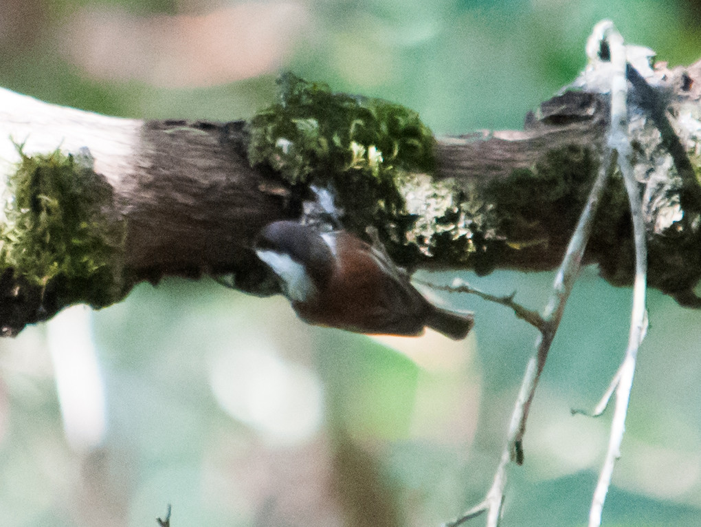
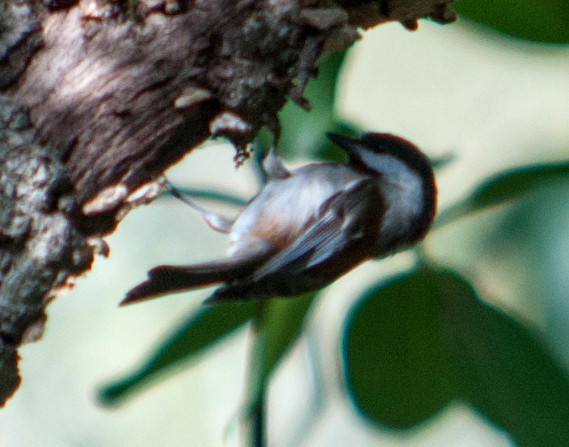
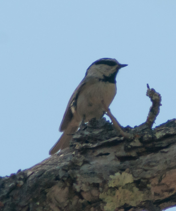
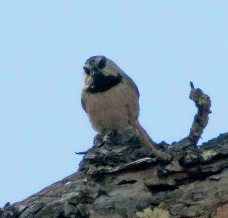
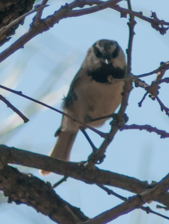
Chickadee, Mountain 1 @Socorro: NRAO Domenici Operations Center
2014-03-29: NM: Socorro County
@NF: Magdalenas: North Fork
@SocCo: Socorro County
@WC: Magdalenas: Water Canyon
@WCRd: Magdalenas: Water Canyon Road
@road1: US-60: Socorro to Water Canyon Roaad
Route
1055, leave Socorro.
1115, Water Canyon Road.
1125, Water Canyon proper.
1145, hiked up North Fork Road well past the El
Tigre Fork.
1715, rolling.
1735, out of the canyon.
All the walking I did recently in California left me in the
best shape I've been since my 2010 knee replacement. This
let me reach 34 01 42 n, 107 09 39 w, an altitude of about
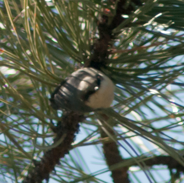
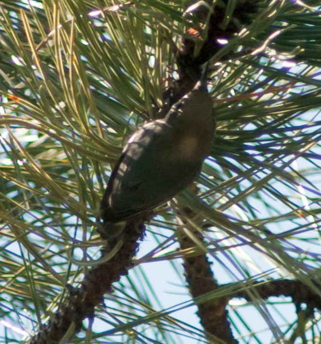
7450', high enough to see Pygmy Nuthatches.
Great day for butterflies. Assuming I've keyed these out
correctly: Mourning Cloak, Common Buckeye, Two-tailed
Swallowtail, Painted Lady, Spring White, Common
Checkered-Skipper, Dainty Sulphur, Question Mark,
Variegated Fritillary, Echo Azure, Colorado Hairstreak, and
Rocky Mountain Duskywing!
Phoebe, Say's 1 @Magdalenas: Water Canyon Road
raven sp. 2 @US-60: Socorro to Water Canyon Roaad
Creeper, Brown 1 @Magdalenas: North Fork
Kinglet, Ruby-crowned # @Magdalenas: North Fork
2014-03-30: NM: Socorro: 507 Fitch
Notable: Juniper Titmouse
@home: Socorro: 507 Fitch